
| Memorials | : | 0 |
| Location | : | Lake, Laurel County, USA |
| Coordinate | : | 37.0784480, -83.6793570 |
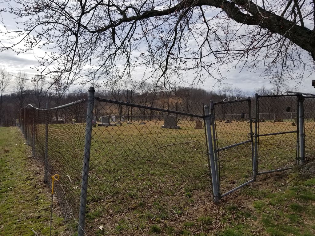
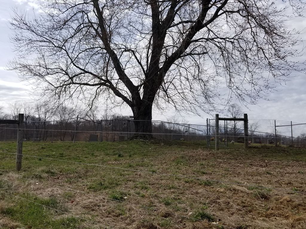
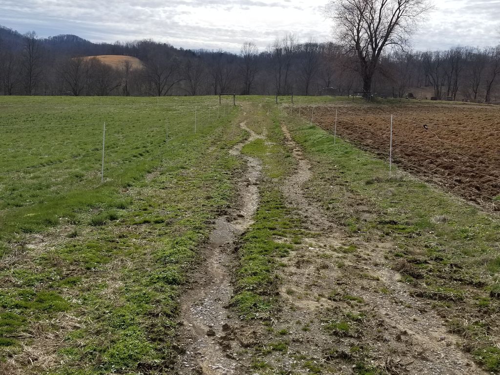
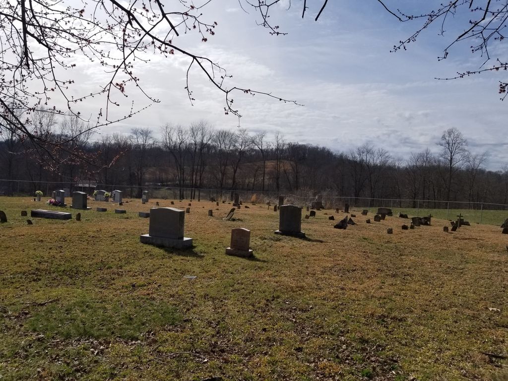
| Description | : | Howard Cemetery is located adjacent to the Patterson Cemetery and separated from Patterson by a chain link fence. Directions are- from the Hwy 192 Bypass in London, turn onto Hwy 80 East (East Laurel Road). Go 11.2 miles and turn right on Elijah Feltner Road. Go 0.9 mile and turn right on a lane that leads to a private field. The cemetery is 0.1 mile out the lane and requires the visitor to open cattle gates. |
frequently asked questions (FAQ):
-
Where is Howard Cemetery?
Howard Cemetery is located at Elijah Feltner Road Lake, Laurel County ,Kentucky ,USA.
-
Howard Cemetery cemetery's updated grave count on graveviews.com?
0 memorials
-
Where are the coordinates of the Howard Cemetery?
Latitude: 37.0784480
Longitude: -83.6793570
Nearby Cemetories:
1. Tip Smith Cemetery
Goose Rock, Clay County, USA
Coordinate: 37.0779680, -83.6823570
2. Walter and Ethel Woods Memorial Cemetery
Goose Rock, Clay County, USA
Coordinate: 37.0736270, -83.6834240
3. Hollen Cemetery
Botto, Clay County, USA
Coordinate: 37.0852200, -83.6758700
4. Woods Cemetery
Goose Rock, Clay County, USA
Coordinate: 37.0715870, -83.6857860
5. W O Wagers Cemetery
Plank, Clay County, USA
Coordinate: 37.0735000, -83.6699900
6. Cleveland Marcum Cemetery
Botto, Clay County, USA
Coordinate: 37.0868100, -83.6845200
7. Jackson Family Cemetery
Botto, Clay County, USA
Coordinate: 37.0876500, -83.6742500
8. Goose Rock Cemetery
Goose Rock, Clay County, USA
Coordinate: 37.0793910, -83.6947570
9. Charlie Hubbard Cemetery
Goose Rock, Clay County, USA
Coordinate: 37.0682980, -83.6886840
10. Thompson Family Cemetery
Botto, Clay County, USA
Coordinate: 37.0912660, -83.6730770
11. Smith Cemetery #12
Goose Rock, Clay County, USA
Coordinate: 37.0928400, -83.6804400
12. Lipps Cemetery
Goose Rock, Clay County, USA
Coordinate: 37.0823300, -83.6618300
13. Hibbard-Sevier Cemetery
Goose Rock, Clay County, USA
Coordinate: 37.0872400, -83.6948000
14. Myers Cemetery
Goose Rock, Clay County, USA
Coordinate: 37.0906600, -83.6908200
15. Steve Mitchell Cemetery
Botto, Clay County, USA
Coordinate: 37.0930100, -83.6668400
16. Daugh Henson Cemetery
Botto, Clay County, USA
Coordinate: 37.0946500, -83.6690700
17. Hubbard-Brumley Cemetery
Botto, Clay County, USA
Coordinate: 37.0945000, -83.6659300
18. Henson-Marcum Cemetery
Botto, Clay County, USA
Coordinate: 37.0961500, -83.6695300
19. Mitchell-Combs Cemetery
Botto, Clay County, USA
Coordinate: 37.0946000, -83.6644100
20. Mitchell Cemetery
Botto, Clay County, USA
Coordinate: 37.0958300, -83.6646400
21. Earnest Henson Cemetery
Botto, Clay County, USA
Coordinate: 37.0981900, -83.6692000
22. John Woods Sr. Cemetery
Brightshade, Clay County, USA
Coordinate: 37.0569200, -83.6790100
23. Joe Smith Cemetery
Plank, Clay County, USA
Coordinate: 37.0794100, -83.6522600
24. Wagers Cemetery
Botto, Clay County, USA
Coordinate: 37.0949100, -83.6606700