
| Memorials | : | 0 |
| Location | : | Madison County, USA |
| Coordinate | : | 40.1031222, -83.3240097 |
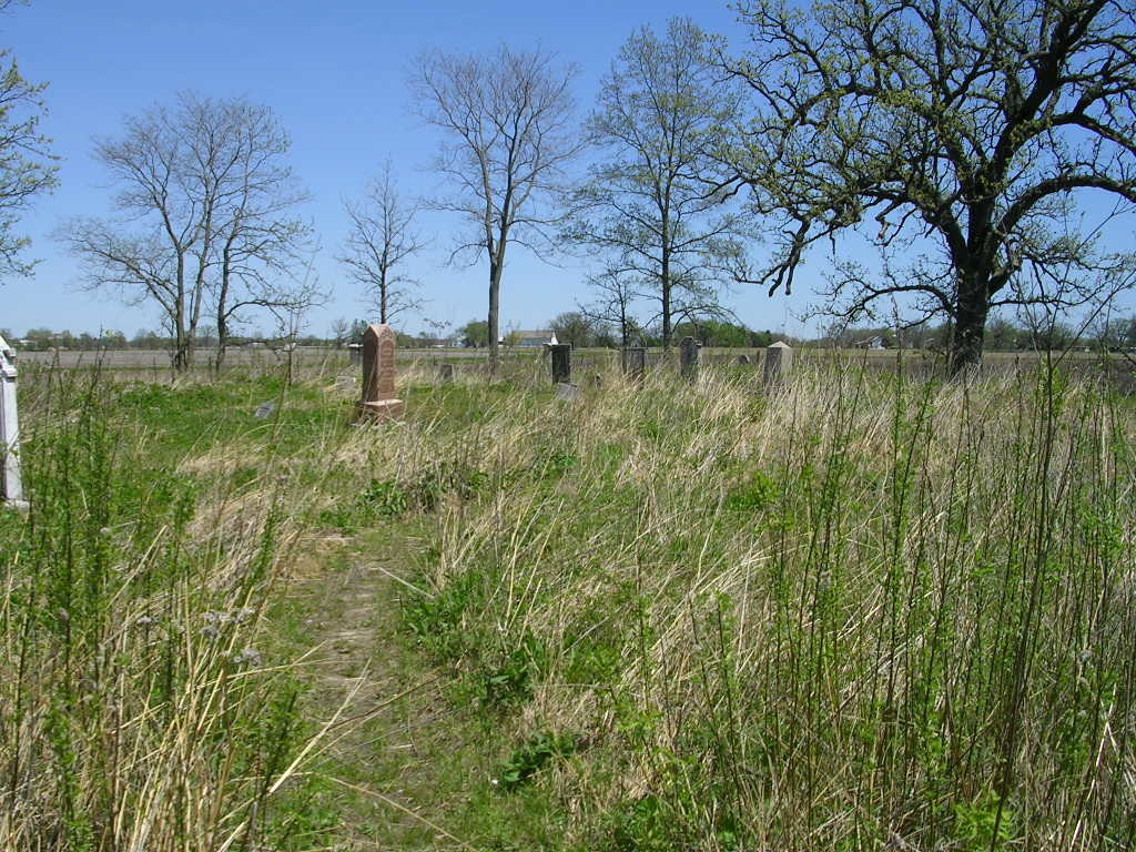
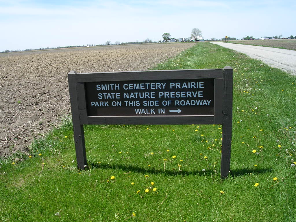
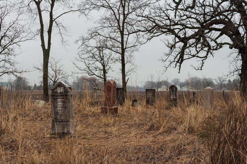
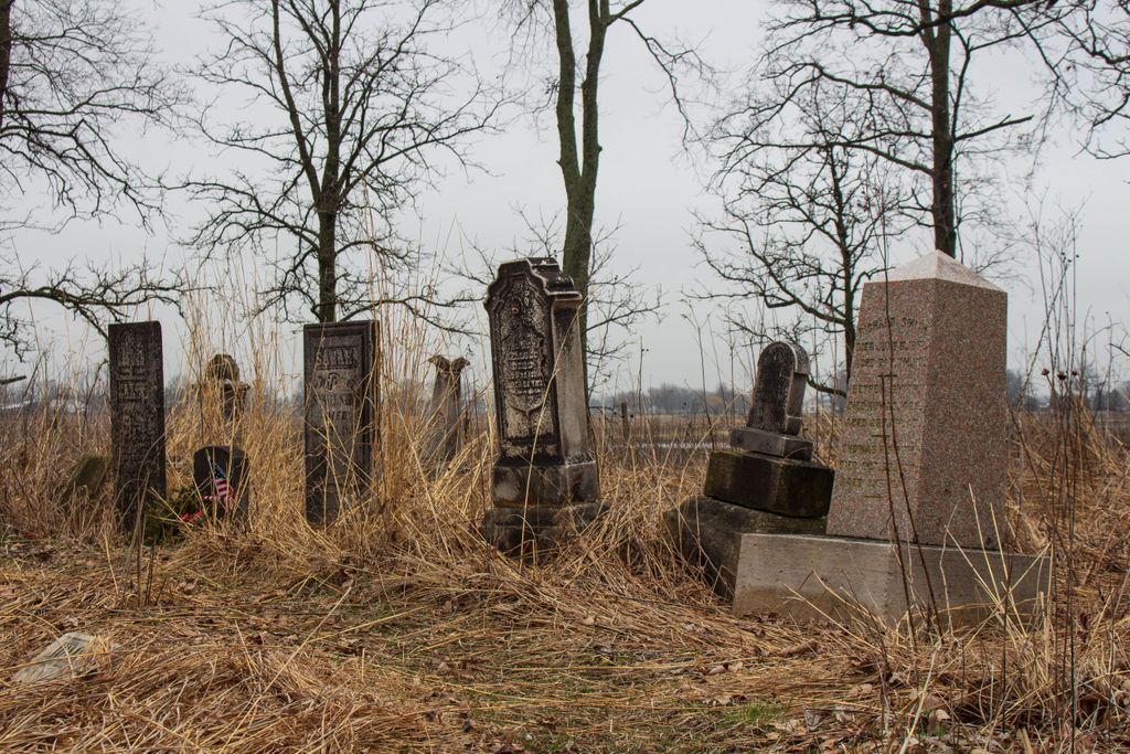
| Description | : | The cemetery is in the Smith Cemetery Prairie State Nature Preserve about 300 feet north of Boyd Road (County Road 42) about 0.5 miles west of its intersection with Converse-Chapel Road (County Road 41). The cemetery is located in Darby Township, Madison County, Ohio, and is # 7103 (Smith Cemetery) in “Ohio Cemeteries 1803-2003”, compiled by the Ohio Genealogical Society. The U.S. Geological Survey (USGS) Geographic Names Information System (GNIS) feature ID for the cemetery is 1046364 (Smith Cemetery). |
frequently asked questions (FAQ):
-
Where is Smith Cemetery?
Smith Cemetery is located at 4400 Boyd Road (County Road 42) Madison County ,Ohio , 43064USA.
-
Smith Cemetery cemetery's updated grave count on graveviews.com?
0 memorials
-
Where are the coordinates of the Smith Cemetery?
Latitude: 40.1031222
Longitude: -83.3240097

Nearby Cemetories:
1. Bethesda Fellowship Cemetery
Plain City, Madison County, USA
Coordinate: 40.0939910, -83.3088920
2. United Bethel Cemetery
Plain City, Madison County, USA
Coordinate: 40.1086006, -83.2874985
3. Converse-Huff Cemetery
Rosedale, Madison County, USA
Coordinate: 40.0764008, -83.3394012
4. Ewing Cemetery
Jerome, Union County, USA
Coordinate: 40.1131750, -83.2829720
5. Old Darby Cemetery
Unionville Center, Union County, USA
Coordinate: 40.1394005, -83.3432999
6. New Darby Cemetery
Unionville Center, Union County, USA
Coordinate: 40.1403008, -83.3447037
7. Jerome Township Unidentified Cemetery #1
Jerome Township, Union County, USA
Coordinate: 40.1238060, -83.2785000
8. Lighthouse Mennonite Fellowship Church Cemetery
Unionville Center, Union County, USA
Coordinate: 40.1425944, -83.3378769
9. Darby Township Cemetery
Plain City, Madison County, USA
Coordinate: 40.0985985, -83.2624969
10. Bigelow Cemetery
Plain City, Madison County, USA
Coordinate: 40.1076851, -83.2585144
11. Finch Cemetery
Madison County, USA
Coordinate: 40.0722008, -83.2686005
12. Sharon Cemetery
Plain City, Madison County, USA
Coordinate: 40.0724983, -83.2683029
13. Forest Grove Cemetery
Plain City, Madison County, USA
Coordinate: 40.0938988, -83.2528000
14. Darby Township Unidentified Cemetery #2
Darby Township, Union County, USA
Coordinate: 40.1515580, -83.3732780
15. Haven Fellowship Cemetery
Madison County, USA
Coordinate: 40.0833244, -83.2466736
16. Saint Paul Lutheran Cemetery
Chuckery, Union County, USA
Coordinate: 40.1510773, -83.3819427
17. Mitchell Cemetery
Darby Township, Union County, USA
Coordinate: 40.1513280, -83.3822250
18. Bigelow Pioneer Cemetery
Madison County, USA
Coordinate: 40.1096992, -83.4197006
19. Shiloh Mennonite Cemetery
Plain City, Madison County, USA
Coordinate: 40.0468570, -83.3885910
20. Big Darby Cemetery
Plain City, Madison County, USA
Coordinate: 40.0430984, -83.2624969
21. Converse Cemetery
Plain City, Madison County, USA
Coordinate: 40.0363998, -83.2613983
22. New California Cemetery
Jerome, Union County, USA
Coordinate: 40.1569672, -83.2379303
23. Saint Johns Cemetery
Marysville, Union County, USA
Coordinate: 40.1878014, -83.3553009
24. Phellis Cemetery
Madison County, USA
Coordinate: 40.0853004, -83.4383011