
| Memorials | : | 6 |
| Location | : | Marysville, Union County, USA |
| Coordinate | : | 40.1878014, -83.3553009 |
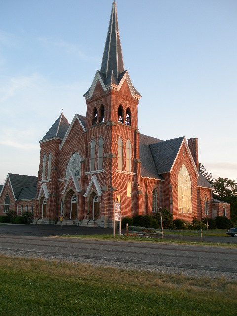
| Description | : | The cemetery is located on the south side of Kandel Road (County Road 61) about 0.2 miles west of its intersection with Ohio State Route 736. The cemetery is located in Darby Township, Union County, Ohio, and is # 11960 (Saint Johns Cemetery) in “Ohio Cemeteries 1803-2003”, compiled by the Ohio Genealogical Society. The cemetery is registered with the Ohio Division of Real Estate and Professional Licensing (ODRE) as St. John’s Lutheran Cemetery with registration license number CBR.2014001947. The U.S. Geological Survey (USGS) Geographic Names Information System (GNIS) feature ID for the cemetery is 1045510 (Saint Johns Cemetery... Read More |
frequently asked questions (FAQ):
-
Where is Saint Johns Cemetery?
Saint Johns Cemetery is located at Kandel Road (County Road 61) Marysville, Union County ,Ohio , 43040USA.
-
Saint Johns Cemetery cemetery's updated grave count on graveviews.com?
6 memorials
-
Where are the coordinates of the Saint Johns Cemetery?
Latitude: 40.1878014
Longitude: -83.3553009


Nearby Cemetories:
1. Old Saint Johns Lutheran Cemetery
Marysville, Union County, USA
Coordinate: 40.1958670, -83.3544810
2. Darby Township Unidentified Cemetery #1
Darby Township, Union County, USA
Coordinate: 40.2000250, -83.3455110
3. Trinity Lutheran Cemetery
Marysville, Union County, USA
Coordinate: 40.2040600, -83.3666800
4. Darby Township Unidentified Cemetery #2
Darby Township, Union County, USA
Coordinate: 40.1515580, -83.3732780
5. Mitchell Cemetery
Darby Township, Union County, USA
Coordinate: 40.1513280, -83.3822250
6. Saint Paul Lutheran Cemetery
Chuckery, Union County, USA
Coordinate: 40.1510773, -83.3819427
7. Woods-Reed Cemetery
Milford Center, Union County, USA
Coordinate: 40.1699982, -83.4056015
8. Lighthouse Mennonite Fellowship Church Cemetery
Unionville Center, Union County, USA
Coordinate: 40.1425944, -83.3378769
9. New Darby Cemetery
Unionville Center, Union County, USA
Coordinate: 40.1403008, -83.3447037
10. Old Darby Cemetery
Unionville Center, Union County, USA
Coordinate: 40.1394005, -83.3432999
11. Marysville Cemetery
Marysville, Union County, USA
Coordinate: 40.2381180, -83.3636390
12. Milford Center Cemetery
Milford Center, Union County, USA
Coordinate: 40.1770134, -83.4267349
13. Buxton Cemetery
Dover Township, Union County, USA
Coordinate: 40.2277985, -83.3007965
14. Oakdale Cemetery
Marysville, Union County, USA
Coordinate: 40.2442017, -83.3944016
15. Our Lady of Lourdes Catholic Cemetery
Marysville, Union County, USA
Coordinate: 40.2458000, -83.3918991
16. Potters Field
Marysville, Union County, USA
Coordinate: 40.2456250, -83.3934830
17. Amrine Cemetery
Paris Township, Union County, USA
Coordinate: 40.2500000, -83.3936005
18. McDonald Cemetery
Milford Center, Union County, USA
Coordinate: 40.2030983, -83.4516983
19. Mount Zion Cemetery
Marysville, Union County, USA
Coordinate: 40.2518997, -83.4180984
20. Jerome Township Unidentified Cemetery #1
Jerome Township, Union County, USA
Coordinate: 40.1238060, -83.2785000
21. Smith Cemetery
Madison County, USA
Coordinate: 40.1031222, -83.3240097
22. Buck Run Cemetery
Allen Township, Union County, USA
Coordinate: 40.2243996, -83.4608002
23. Watkins Cemetery
Watkins, Union County, USA
Coordinate: 40.2085991, -83.2410965
24. Mount Herman Cemetery
New Dover, Union County, USA
Coordinate: 40.2661018, -83.2956009