
| Memorials | : | 0 |
| Location | : | Buhl, Twin Falls County, USA |
| Coordinate | : | 42.5942000, -114.8307000 |
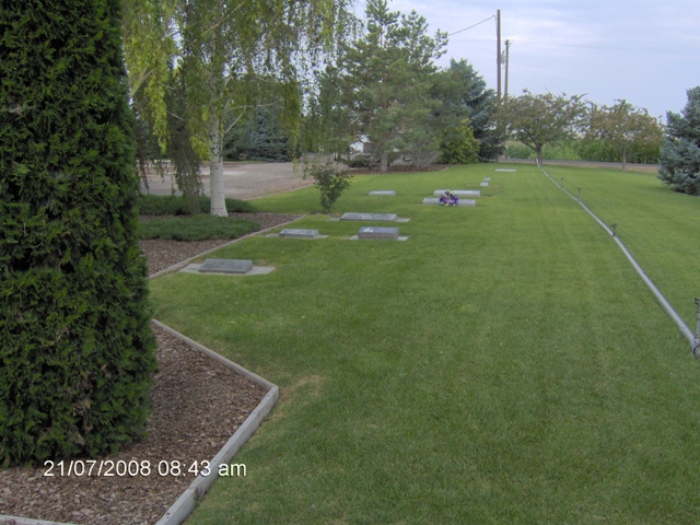
| Description | : | 4100 North-1100 East. Lays behind the Church.Very well taken care of. |
frequently asked questions (FAQ):
-
Where is Church of God in Christ Mennonite Cemetery?
Church of God in Christ Mennonite Cemetery is located at Buhl, Twin Falls County ,Idaho ,USA.
-
Church of God in Christ Mennonite Cemetery cemetery's updated grave count on graveviews.com?
0 memorials
-
Where are the coordinates of the Church of God in Christ Mennonite Cemetery?
Latitude: 42.5942000
Longitude: -114.8307000
Nearby Cemetories:
1. Snake River Canyon National Cemetery
Buhl, Twin Falls County, USA
Coordinate: 42.6016979, -114.7586136
2. West End Cemetery
Buhl, Twin Falls County, USA
Coordinate: 42.6008380, -114.7366730
3. Barbara Ann Morgan Gravesite
Twin Falls County, USA
Coordinate: 42.5768970, -114.7119550
4. Valley View Mennonite Church Cemetery
Twin Falls County, USA
Coordinate: 42.5670000, -114.6745000
5. Clover Lutheran Cemetery
Clover, Twin Falls County, USA
Coordinate: 42.5133000, -114.6893000
6. Filer Cemetery
Filer, Twin Falls County, USA
Coordinate: 42.5778008, -114.5847015
7. Wendell Cemetery
Wendell, Gooding County, USA
Coordinate: 42.7734160, -114.7111700
8. Hagerman Cemetery
Hagerman, Gooding County, USA
Coordinate: 42.8230500, -114.8902810
9. Hagerman Pioneer Cemetery
Hagerman, Gooding County, USA
Coordinate: 42.8298000, -114.9040000
10. Grassy Hill Cemetery
Twin Falls County, USA
Coordinate: 42.3575400, -114.9203200
11. Jerome Cemetery
Jerome, Jerome County, USA
Coordinate: 42.7141400, -114.5299500
12. Ira Burton Perrine Cemetery
Perrine, Jerome County, USA
Coordinate: 42.6082500, -114.4754000
13. Ascension Episcopal Church Cemetery
Twin Falls, Twin Falls County, USA
Coordinate: 42.5680000, -114.4418000
14. Sunset Memorial Park Cemetery
Twin Falls, Twin Falls County, USA
Coordinate: 42.5470000, -114.4380000
15. Twin Falls Cemetery
Twin Falls, Twin Falls County, USA
Coordinate: 42.5499992, -114.4360962
16. Monastery of the Ascension Cemetery
Jerome, Jerome County, USA
Coordinate: 42.7067000, -114.4162000
17. Bliss Family Cemetery
Bliss, Gooding County, USA
Coordinate: 42.9084900, -114.9497800
18. Pioneer Cemetery
Bliss, Gooding County, USA
Coordinate: 42.9227982, -114.9443970
19. Elmwood Cemetery
Gooding, Gooding County, USA
Coordinate: 42.9308014, -114.7011032
20. Chinese Memorial Cemetery
Gooding County, USA
Coordinate: 42.9266000, -114.9841000
21. Pioneer Cemetery
Gooding, Gooding County, USA
Coordinate: 42.9324989, -114.6931000
22. Mathers Family Cemetery
Twin Falls County, USA
Coordinate: 42.3992000, -114.3715000
23. Rock Creek Stage Station Cemetery
Twin Falls, Twin Falls County, USA
Coordinate: 42.4598500, -114.3284000
24. Estes Cemetery
Twin Falls County, USA
Coordinate: 42.2005000, -114.8913300