| Memorials | : | 241 |
| Location | : | Bitterne, Southampton Unitary Authority, England |
| Coordinate | : | 50.9138840, -1.3583560 |
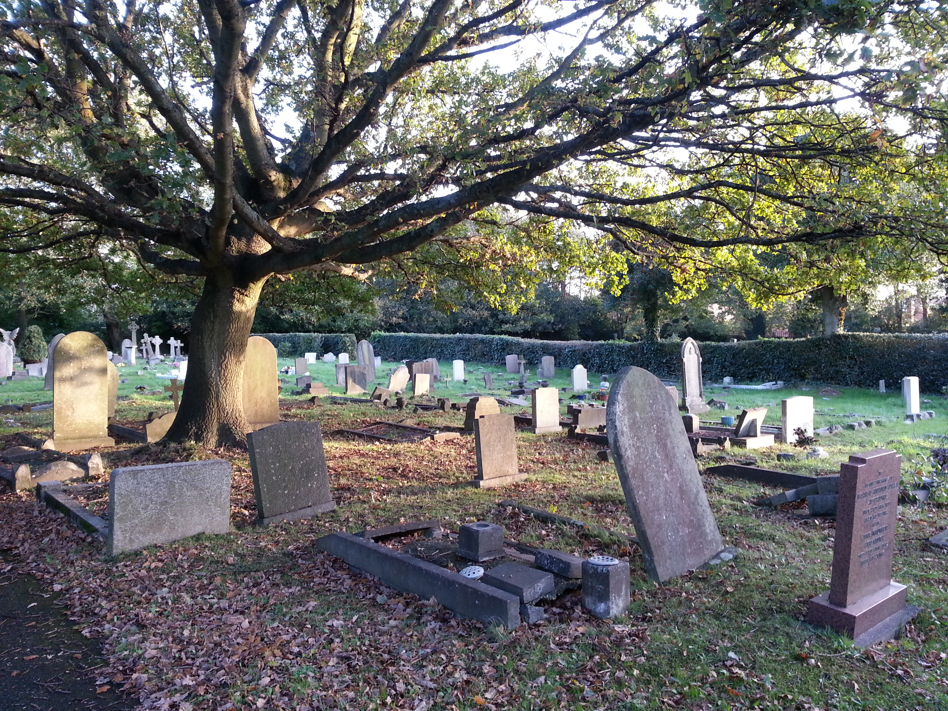
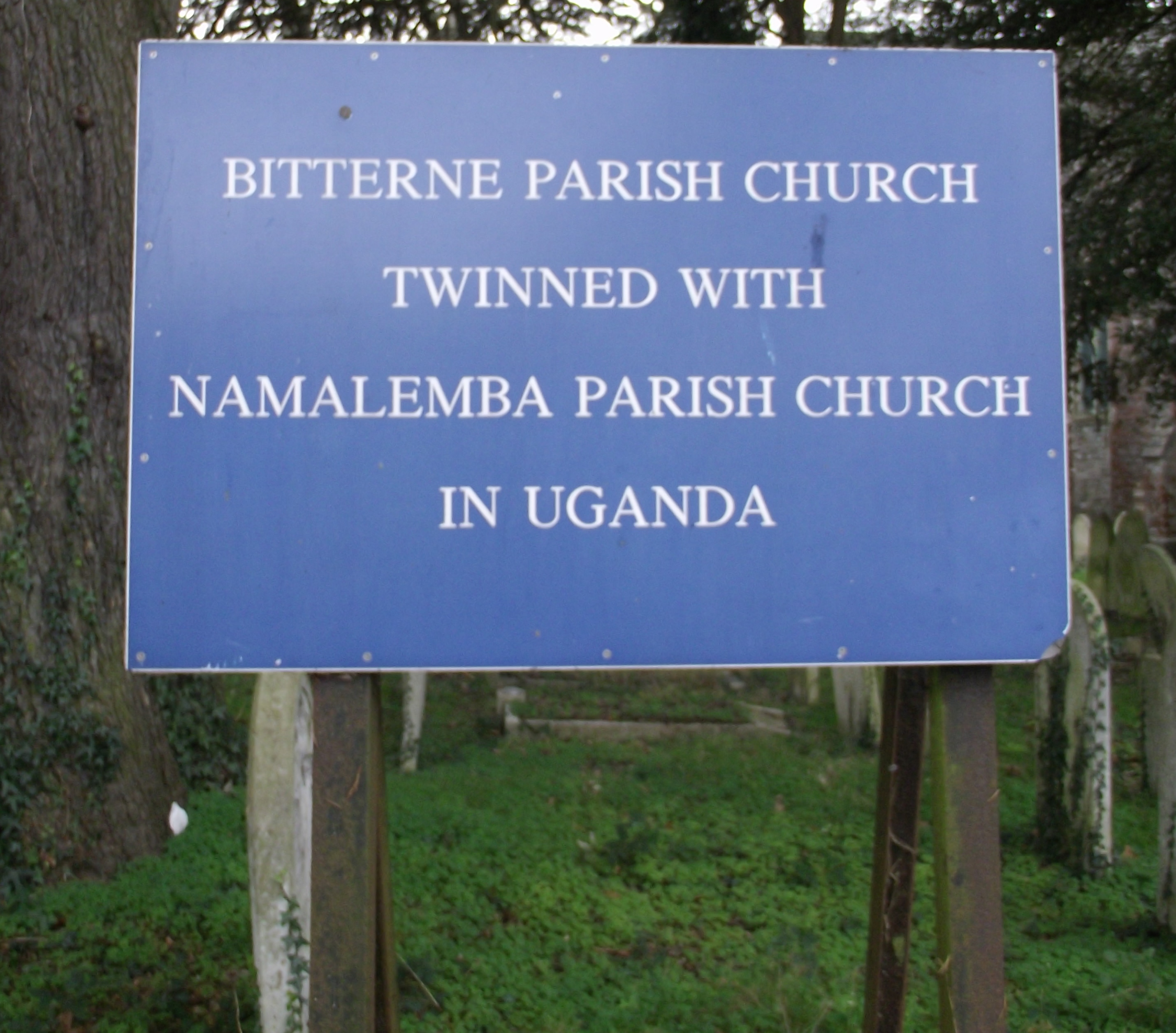
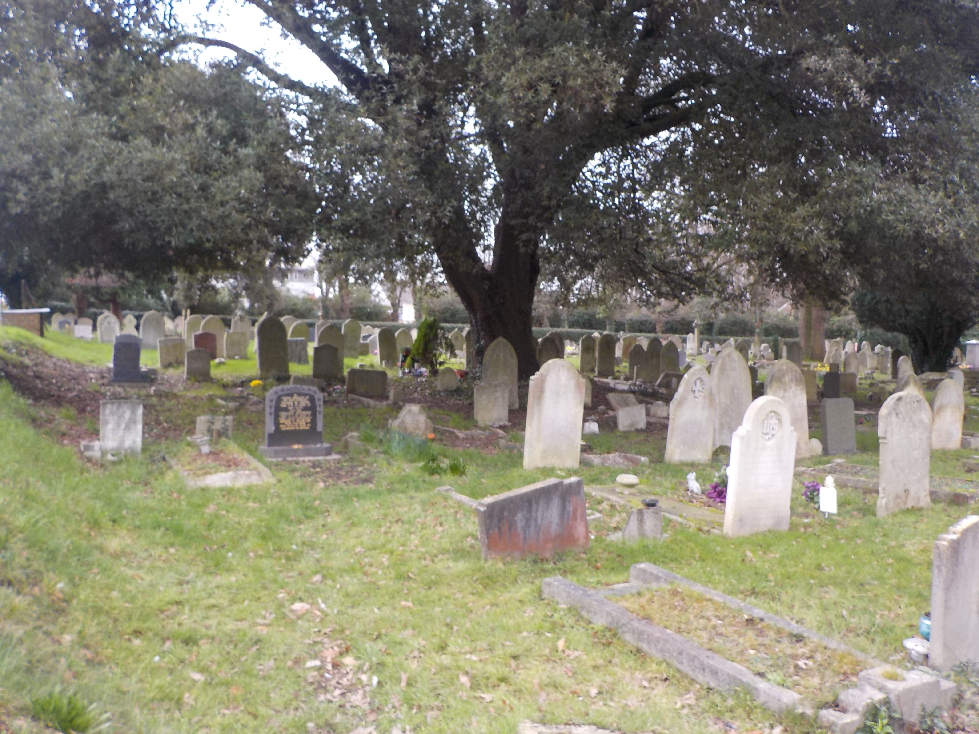
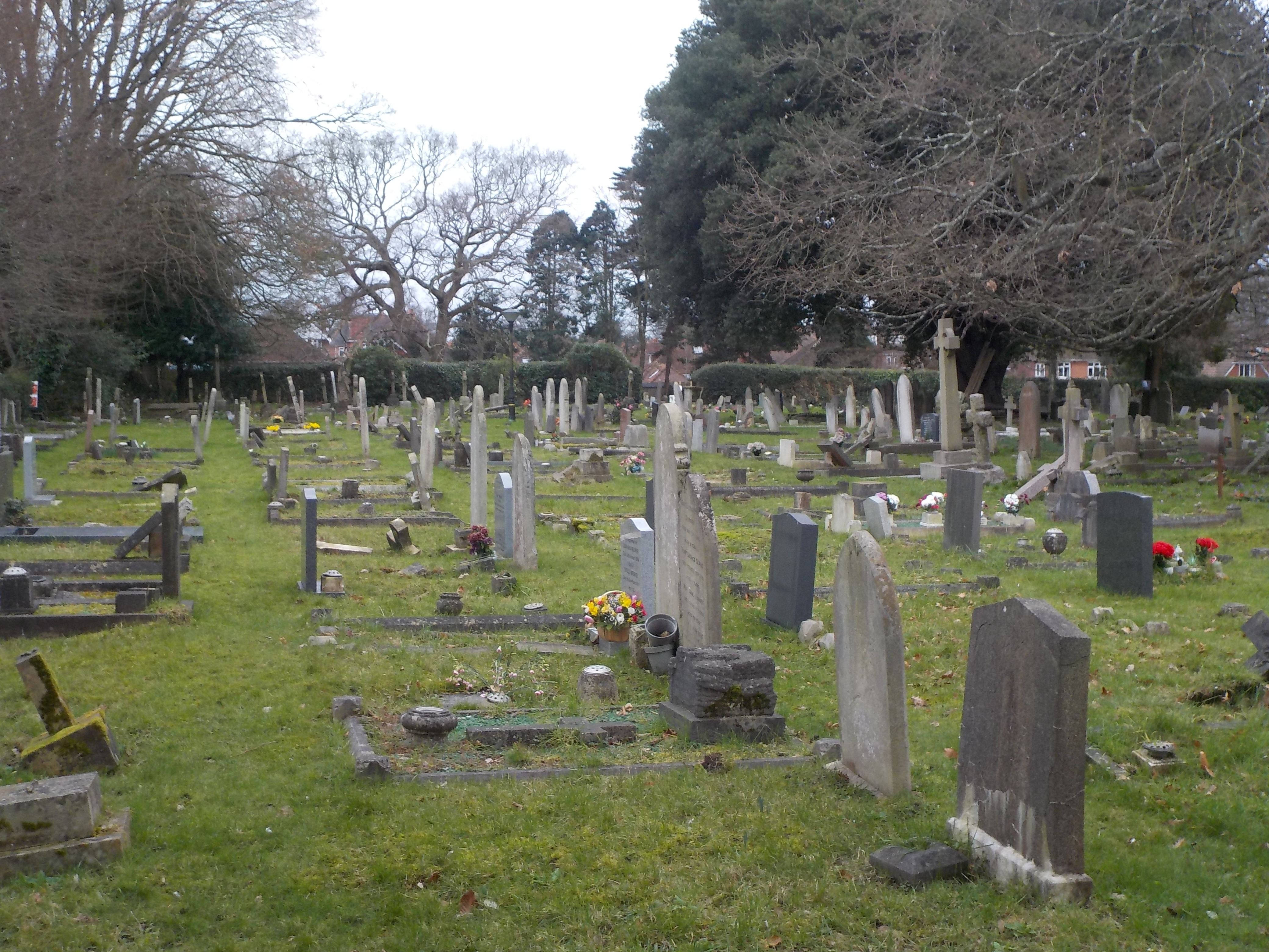
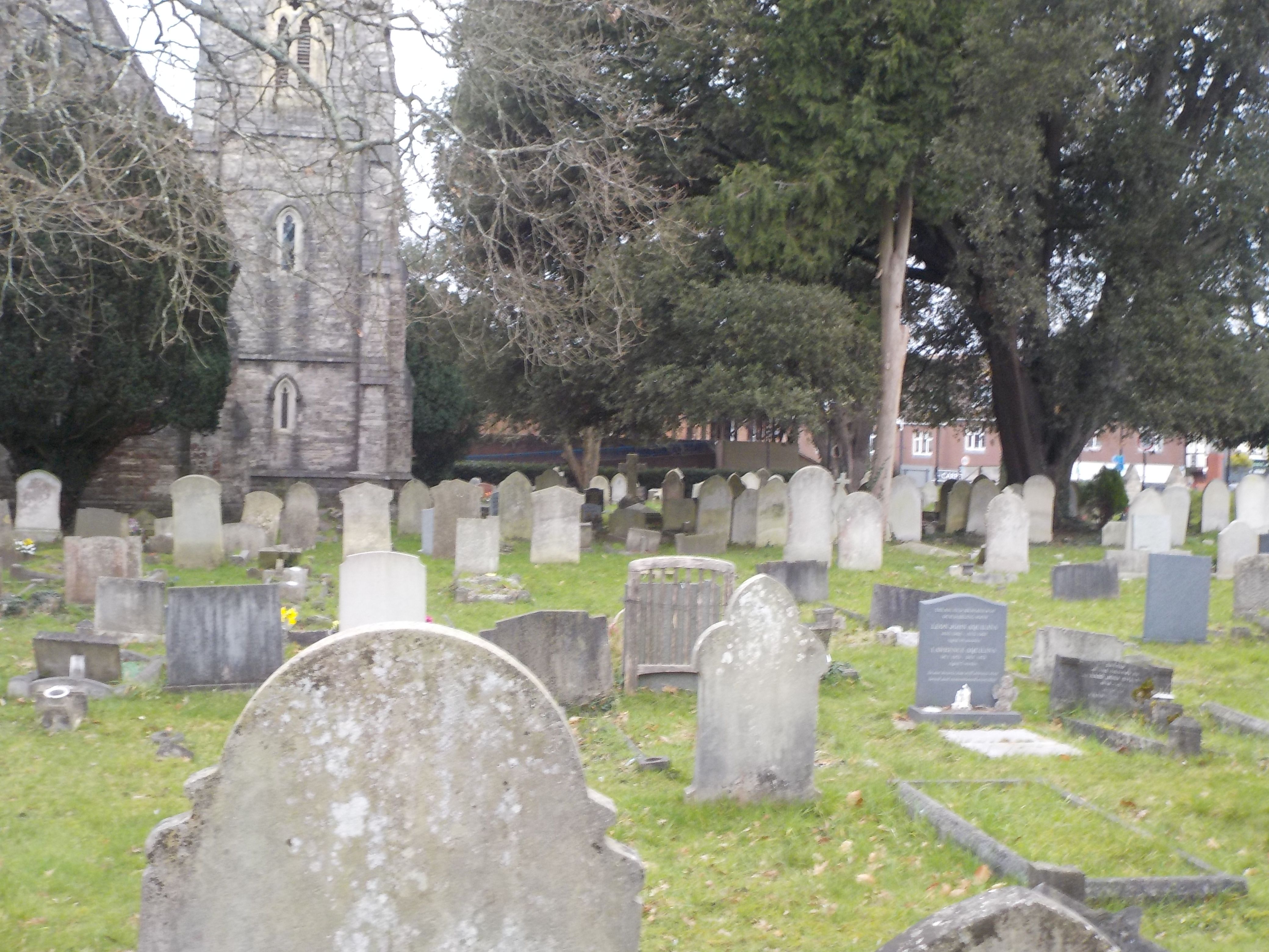
| Description | : | Specifically the Anglian Church of the Holy Saviour Bitterne is an eastern suburb of Southampton, England. It derives its name not from the similarly named bird, the Bittern (as some believe) but from the bend in the River Itchen; the Old English words byht and ærn together mean "house near a bend", most likely a reference to Bitterne Manor House. A reference from the late 11th century spells the name Byterne. The churchyard has 26 wargraves. |
frequently asked questions (FAQ):
-
Where is Holy Saviour Churchyard?
Holy Saviour Churchyard is located at Bitterne Precinct Bitterne, Southampton Unitary Authority ,Hampshire , SO19 7NSEngland.
-
Holy Saviour Churchyard cemetery's updated grave count on graveviews.com?
241 memorials
-
Where are the coordinates of the Holy Saviour Churchyard?
Latitude: 50.9138840
Longitude: -1.3583560
Nearby Cemetories:
1. Redcote Convent Cemetery
Bitterne, Southampton Unitary Authority, England
Coordinate: 50.9168600, -1.3510700
2. St. Mary Extra Churchyard
Southampton, Southampton Unitary Authority, England
Coordinate: 50.9040000, -1.3743000
3. St Mary Churchyard
Sholing, Southampton Unitary Authority, England
Coordinate: 50.8991260, -1.3571350
4. St James Churchyard
West End, Eastleigh Borough, England
Coordinate: 50.9243200, -1.3382300
5. St Mary Extra Cemetery
Southampton, Southampton Unitary Authority, England
Coordinate: 50.8948700, -1.3522600
6. St. James' Church Cemetery
West End, Eastleigh Borough, England
Coordinate: 50.9267690, -1.3326580
7. Holy Trinity Churchyard
Southampton, Southampton Unitary Authority, England
Coordinate: 50.8896750, -1.3659150
8. St. Mary's Churchyard
Swaythling, Southampton Unitary Authority, England
Coordinate: 50.9367800, -1.3752300
9. St Mary Churchyard
Southampton, Southampton Unitary Authority, England
Coordinate: 50.9027100, -1.3960800
10. West End Cemetery and Memorial Gardens
West End, Eastleigh Borough, England
Coordinate: 50.9342600, -1.3316300
11. South Stoneham Cemetery
Swaythling, Southampton Unitary Authority, England
Coordinate: 50.9401030, -1.3660260
12. Highfield Churchyard
Portswood, Southampton Unitary Authority, England
Coordinate: 50.9295400, -1.3949800
13. All Saints Catacombs and Burial Ground (Defunct)
Southampton, Southampton Unitary Authority, England
Coordinate: 50.9013350, -1.4021500
14. Albert Road Cemetery
Hedge End, Eastleigh Borough, England
Coordinate: 50.9066535, -1.3099266
15. St John the Evangelist Churchyard
Hedge End, Eastleigh Borough, England
Coordinate: 50.9089200, -1.3091100
16. Holyrood Church
Southampton Unitary Authority, England
Coordinate: 50.8997498, -1.4034560
17. Holyrood Churchyard
Southampton, Southampton Unitary Authority, England
Coordinate: 50.8996600, -1.4035300
18. St Michael the Archangel Churchyard
Southampton, Southampton Unitary Authority, England
Coordinate: 50.8996200, -1.4056900
19. St. Julien's Church
Southampton, Southampton Unitary Authority, England
Coordinate: 50.8965000, -1.4036000
20. St Lawrence with St John Churchyard
Southampton, Southampton Unitary Authority, England
Coordinate: 50.8977570, -1.4052470
21. Southampton Old Cemetery
Southampton, Southampton Unitary Authority, England
Coordinate: 50.9202900, -1.4130650
22. Southampton Crematorium and Garden of Remembrance
Southampton, Southampton Unitary Authority, England
Coordinate: 50.9471770, -1.3899120
23. St Nicolas Churchyard
North Stoneham, Eastleigh Borough, England
Coordinate: 50.9535160, -1.3741760
24. Wessex Vale Crematorium
West End, Eastleigh Borough, England
Coordinate: 50.9376550, -1.3054100

