
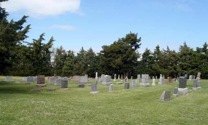
| Memorials | : | 18 |
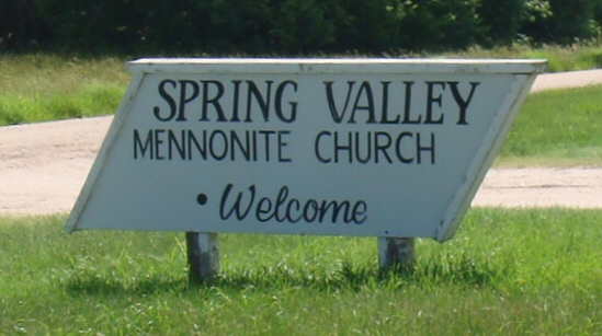
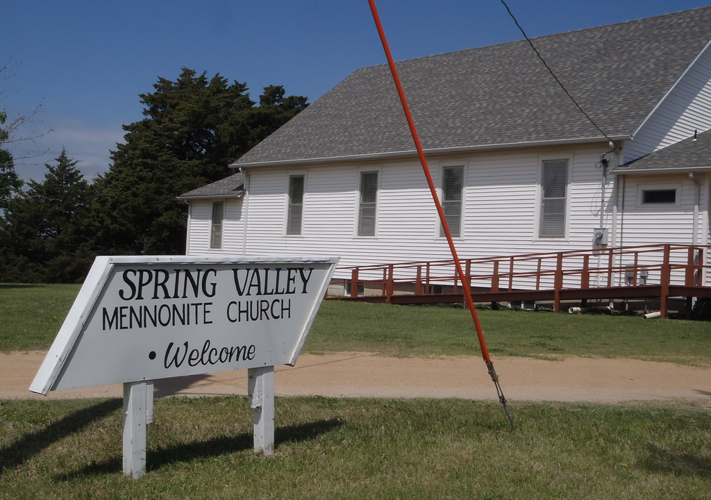
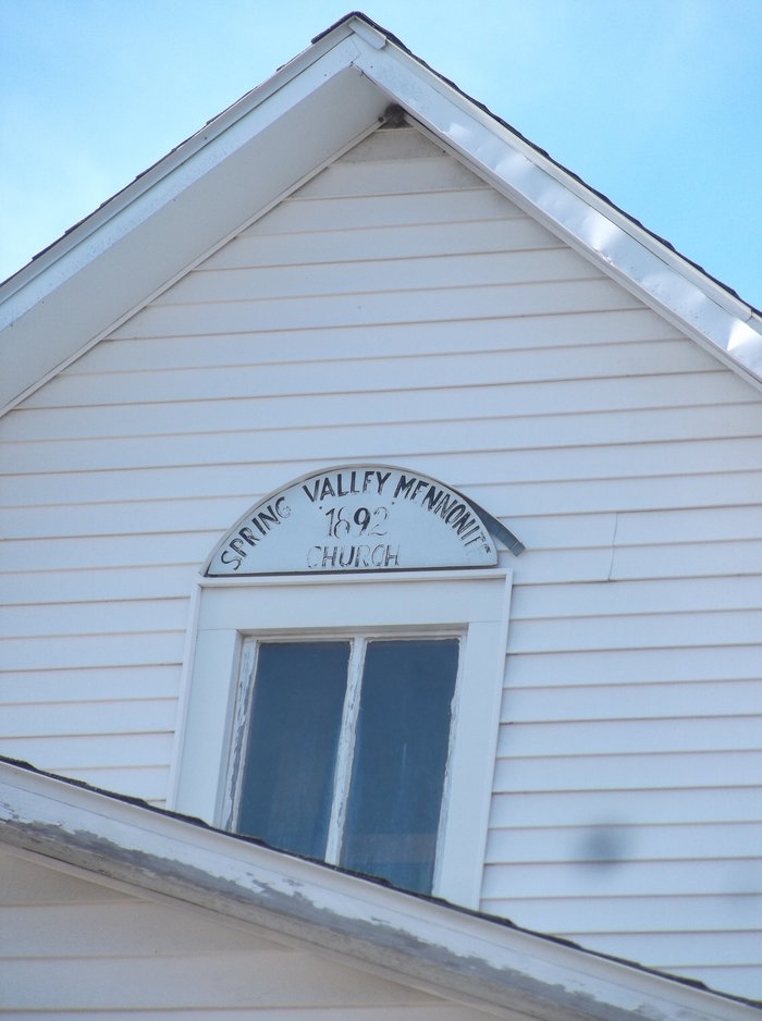
| Location | : | Canton, McPherson County, USA |
| Coordinate | : | 38.3338170, -97.3908220 |
frequently asked questions (FAQ):
-
Where is Spring Valley Mennonite Cemetery?
Spring Valley Mennonite Cemetery is located at Canton, McPherson County ,Kansas ,USA.
-
Spring Valley Mennonite Cemetery cemetery's updated grave count on graveviews.com?
17 memorials
-
Where are the coordinates of the Spring Valley Mennonite Cemetery?
Latitude: 38.3338170
Longitude: -97.3908220
Nearby Cemetories:
1. Springfield Cemetery
Goessel, Marion County, USA
Coordinate: 38.3208008, -97.3352966
2. Jones Cemetery
Canton, McPherson County, USA
Coordinate: 38.3833008, -97.3861008
3. Heinrich J. Schmidt Family Cemetery
Spring Valley Township, McPherson County, USA
Coordinate: 38.2754900, -97.3763700
4. Canton Township Cemetery
Canton, McPherson County, USA
Coordinate: 38.3974170, -97.4280350
5. Schmidt Homestead Cemetery
Meridian Township, McPherson County, USA
Coordinate: 38.2654300, -97.3717700
6. Blumenfeld Cemetery
Goessel, Marion County, USA
Coordinate: 38.2644900, -97.3697400
7. Lehigh Mennonite Cemetery
Lehigh, Marion County, USA
Coordinate: 38.3630981, -97.3067017
8. Mennonite Brethren Church Cemetery
Lehigh, Marion County, USA
Coordinate: 38.3768220, -97.3162290
9. Immanuel Lutheran Church Cemetery
Canton, McPherson County, USA
Coordinate: 38.2755330, -97.4473030
10. Jacob B. Nikkel Grave Site
Goessel, Marion County, USA
Coordinate: 38.2680840, -97.3302110
11. Lehigh Township Cemetery
Lehigh, Marion County, USA
Coordinate: 38.3911690, -97.3169800
12. German Evangelical Lutheran Cemetery
Meridian Township, McPherson County, USA
Coordinate: 38.2567150, -97.4267420
13. Goessel Mennonite Church Cemetery
Goessel, Marion County, USA
Coordinate: 38.2544000, -97.3531000
14. Alexanderwohl Friedhof Cemetery
Goessel, Marion County, USA
Coordinate: 38.2611008, -97.3317032
15. Dunkard Church Cemetery
Galva, McPherson County, USA
Coordinate: 38.3497009, -97.5006027
16. Steinbach Community Cemetery
Hillsboro, Marion County, USA
Coordinate: 38.3045600, -97.2797200
17. Goessel Mennonite Brethren Cemetery
Goessel, Marion County, USA
Coordinate: 38.2456780, -97.3459880
18. Lone Tree Cemetery
Moundridge, McPherson County, USA
Coordinate: 38.2846985, -97.5002975
19. Empire Cemetery
Galva, McPherson County, USA
Coordinate: 38.3403015, -97.5192032
20. Hager Family Cemetery
McPherson County, USA
Coordinate: 38.4361450, -97.3941690
21. United Center Church Cemetery
Galva, McPherson County, USA
Coordinate: 38.4069810, -97.4821720
22. Anna Schmidt Cemetery
Meridian Township, McPherson County, USA
Coordinate: 38.2283911, -97.3893937
23. Oakes Cemetery
Canton, McPherson County, USA
Coordinate: 38.4491997, -97.4080963
24. Emmanuel Bible Church Cemetery
Moundridge, McPherson County, USA
Coordinate: 38.2868200, -97.5264200