
| Memorials | : | 12 |
| Location | : | Moundridge, McPherson County, USA |
| Coordinate | : | 38.2868200, -97.5264200 |
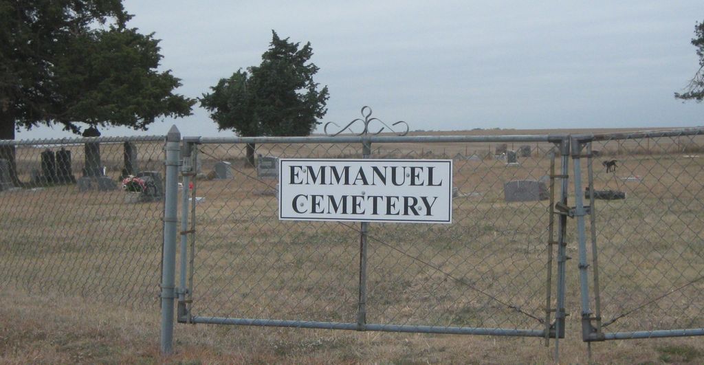
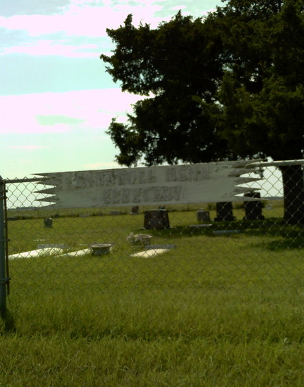
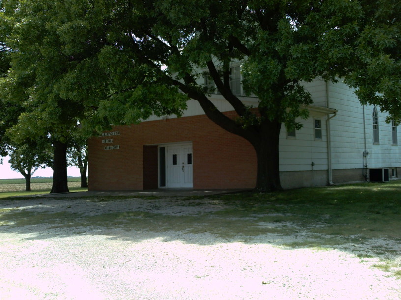
| Description | : | The Emmanuel Bible Church was formerly known as the Emmanuel Mennonite Church (General Conference Mennonite). Until 1931 it was known as the Canton Church. It is located six miles north and one-half west of Moundridge, McPherson County, Kansas. The church was organized in 1875 by German Mennonites from Poland (Volhynia). A new church building was dedicated on 14 June 1942. Emmanuel withdrew from the General Conference Mennonite Church in 1978. The cemetery is located just South of the Church. |
frequently asked questions (FAQ):
-
Where is Emmanuel Bible Church Cemetery?
Emmanuel Bible Church Cemetery is located at 2161 Comanche Road Moundridge, McPherson County ,Kansas , 67443USA.
-
Emmanuel Bible Church Cemetery cemetery's updated grave count on graveviews.com?
12 memorials
-
Where are the coordinates of the Emmanuel Bible Church Cemetery?
Latitude: 38.2868200
Longitude: -97.5264200
Nearby Cemetories:
1. Lone Tree Cemetery
Moundridge, McPherson County, USA
Coordinate: 38.2846985, -97.5002975
2. Empire Cemetery
Galva, McPherson County, USA
Coordinate: 38.3403015, -97.5192032
3. Immanuel Lutheran Church Cemetery
Canton, McPherson County, USA
Coordinate: 38.2755330, -97.4473030
4. Dunkard Church Cemetery
Galva, McPherson County, USA
Coordinate: 38.3497009, -97.5006027
5. Eden Mennonite Church Cemetery
Moundridge, McPherson County, USA
Coordinate: 38.2329890, -97.5940630
6. Suncrest Mennonite Cemetery
Galva, McPherson County, USA
Coordinate: 38.3685500, -97.5378000
7. German Evangelical Lutheran Cemetery
Meridian Township, McPherson County, USA
Coordinate: 38.2567150, -97.4267420
8. West Zion Cemetery
Moundridge, McPherson County, USA
Coordinate: 38.2028008, -97.5372009
9. Mound Township Cemetery
Moundridge, McPherson County, USA
Coordinate: 38.2028008, -97.5378036
10. Hopefield Church Cemetery
Moundridge, McPherson County, USA
Coordinate: 38.2105180, -97.5858040
11. First Mennonite Cemetery
Moundridge, McPherson County, USA
Coordinate: 38.1885090, -97.5094070
12. Freedom Baptist Church Cemetery
McPherson County, USA
Coordinate: 38.2027400, -97.4362500
13. Spring Valley Mennonite Cemetery
Canton, McPherson County, USA
Coordinate: 38.3338170, -97.3908220
14. Heinrich J. Schmidt Family Cemetery
Spring Valley Township, McPherson County, USA
Coordinate: 38.2754900, -97.3763700
15. McPherson Cemetery
McPherson, McPherson County, USA
Coordinate: 38.3630981, -97.6430969
16. Schlender Cemetery
Harvey County, USA
Coordinate: 38.1669006, -97.5374985
17. Anna Schmidt Cemetery
Meridian Township, McPherson County, USA
Coordinate: 38.2283911, -97.3893937
18. Schmidt Homestead Cemetery
Meridian Township, McPherson County, USA
Coordinate: 38.2654300, -97.3717700
19. Blumenfeld Cemetery
Goessel, Marion County, USA
Coordinate: 38.2644900, -97.3697400
20. United Center Church Cemetery
Galva, McPherson County, USA
Coordinate: 38.4069810, -97.4821720
21. McPherson Town Museum
McPherson, McPherson County, USA
Coordinate: 38.3697100, -97.6504160
22. Canton Township Cemetery
Canton, McPherson County, USA
Coordinate: 38.3974170, -97.4280350
23. Company D 2nd Kansas Infantry World War I Memorial
McPherson, McPherson County, USA
Coordinate: 38.3700500, -97.6696000
24. Goessel Mennonite Church Cemetery
Goessel, Marion County, USA
Coordinate: 38.2544000, -97.3531000