
| Memorials | : | 0 |
| Location | : | Canton, McPherson County, USA |
| Phone | : | (620) 628-4801 |
| Coordinate | : | 38.2755330, -97.4473030 |
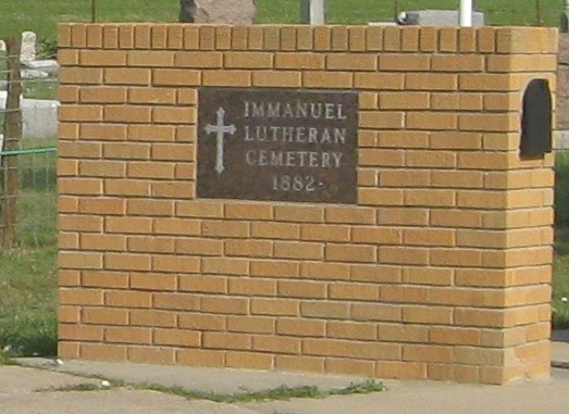
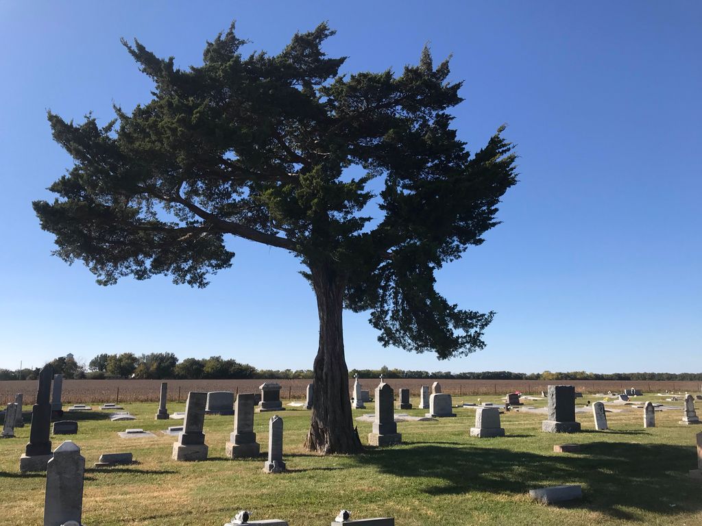
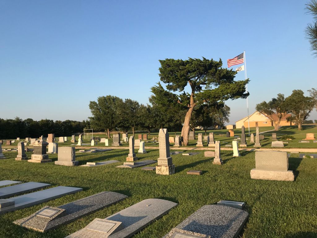
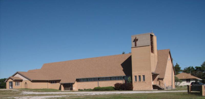
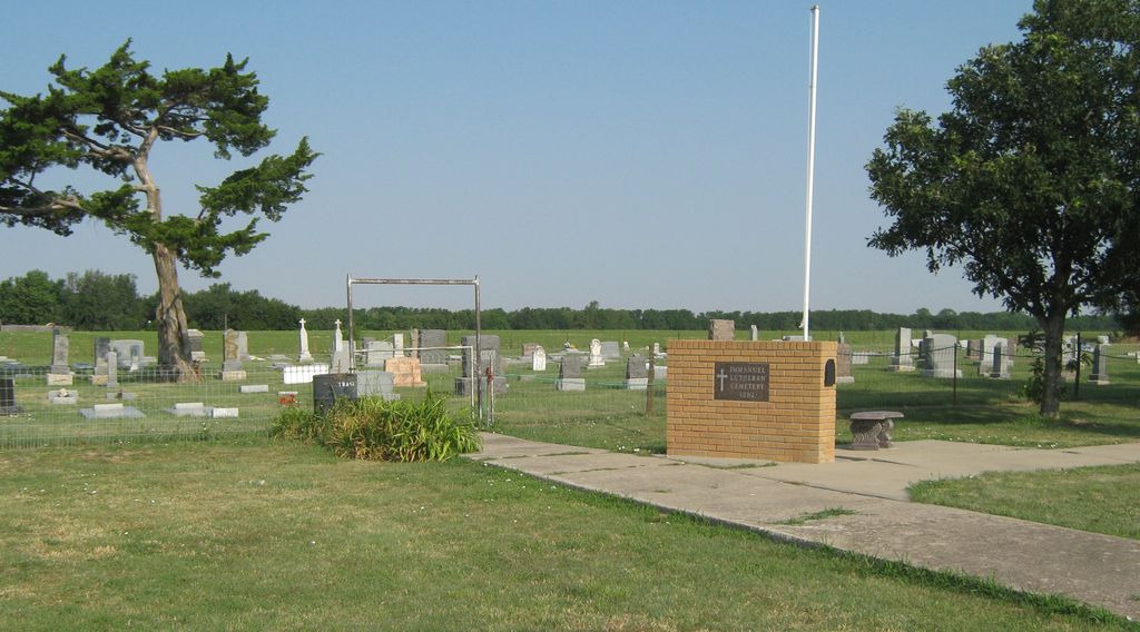
| Description | : | Dedicated 1882 by the German Lutheran members and settlers of Spring Valley Township, McPherson County Kansas Located directly west of the Immanuel Lutheran Church LCMS of Canton KS in Spring Valley Township near the intersection of 26th Ave and Cimarron Rd. |
frequently asked questions (FAQ):
-
Where is Immanuel Lutheran Church Cemetery?
Immanuel Lutheran Church Cemetery is located at 703 26th Ave. Canton, McPherson County ,Kansas , 67428USA.
-
Immanuel Lutheran Church Cemetery cemetery's updated grave count on graveviews.com?
0 memorials
-
Where are the coordinates of the Immanuel Lutheran Church Cemetery?
Latitude: 38.2755330
Longitude: -97.4473030
Nearby Cemetories:
1. German Evangelical Lutheran Cemetery
Meridian Township, McPherson County, USA
Coordinate: 38.2567150, -97.4267420
2. Lone Tree Cemetery
Moundridge, McPherson County, USA
Coordinate: 38.2846985, -97.5002975
3. Heinrich J. Schmidt Family Cemetery
Spring Valley Township, McPherson County, USA
Coordinate: 38.2754900, -97.3763700
4. Schmidt Homestead Cemetery
Meridian Township, McPherson County, USA
Coordinate: 38.2654300, -97.3717700
5. Blumenfeld Cemetery
Goessel, Marion County, USA
Coordinate: 38.2644900, -97.3697400
6. Emmanuel Bible Church Cemetery
Moundridge, McPherson County, USA
Coordinate: 38.2868200, -97.5264200
7. Anna Schmidt Cemetery
Meridian Township, McPherson County, USA
Coordinate: 38.2283911, -97.3893937
8. Spring Valley Mennonite Cemetery
Canton, McPherson County, USA
Coordinate: 38.3338170, -97.3908220
9. Freedom Baptist Church Cemetery
McPherson County, USA
Coordinate: 38.2027400, -97.4362500
10. Goessel Mennonite Church Cemetery
Goessel, Marion County, USA
Coordinate: 38.2544000, -97.3531000
11. Goessel Mennonite Brethren Cemetery
Goessel, Marion County, USA
Coordinate: 38.2456780, -97.3459880
12. Dunkard Church Cemetery
Galva, McPherson County, USA
Coordinate: 38.3497009, -97.5006027
13. Empire Cemetery
Galva, McPherson County, USA
Coordinate: 38.3403015, -97.5192032
14. Alexanderwohl Friedhof Cemetery
Goessel, Marion County, USA
Coordinate: 38.2611008, -97.3317032
15. Jacob B. Nikkel Grave Site
Goessel, Marion County, USA
Coordinate: 38.2680840, -97.3302110
16. Springfield Cemetery
Goessel, Marion County, USA
Coordinate: 38.3208008, -97.3352966
17. First Mennonite Cemetery
Moundridge, McPherson County, USA
Coordinate: 38.1885090, -97.5094070
18. West Zion Cemetery
Moundridge, McPherson County, USA
Coordinate: 38.2028008, -97.5372009
19. Mound Township Cemetery
Moundridge, McPherson County, USA
Coordinate: 38.2028008, -97.5378036
20. Knopp Cemetery
West Branch Township, Marion County, USA
Coordinate: 38.2003140, -97.3540140
21. Groenfeld Cemetery
Goessel, Marion County, USA
Coordinate: 38.2253600, -97.3290500
22. Meridian Cemetery
McPherson County, USA
Coordinate: 38.1741028, -97.3904722
23. Suncrest Mennonite Cemetery
Galva, McPherson County, USA
Coordinate: 38.3685500, -97.5378000
24. Jones Cemetery
Canton, McPherson County, USA
Coordinate: 38.3833008, -97.3861008