
| Memorials | : | 0 |
| Location | : | Ufford, Peterborough Unitary Authority, England |
| Coordinate | : | 52.6230210, -0.3864660 |
| Description | : | Ufford is a civil parish in the city of Peterborough, North West Cambridgeshire.The Commonwealth War Graves Commission still list this location in Northamptonshire. |
frequently asked questions (FAQ):
-
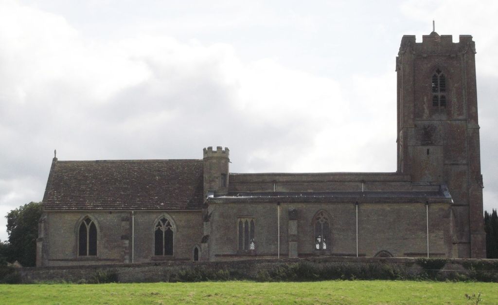
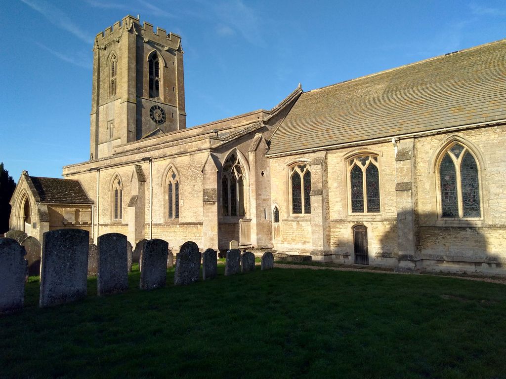
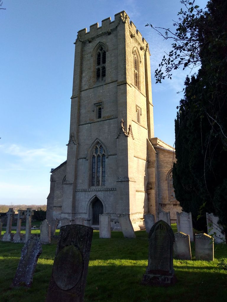
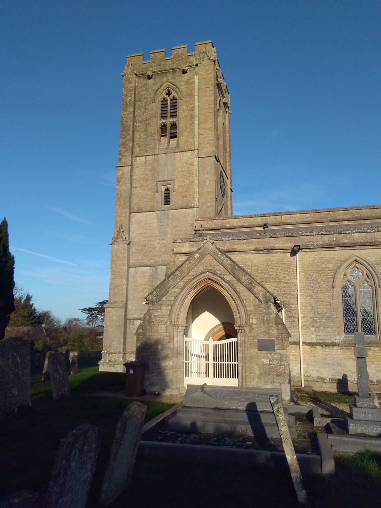
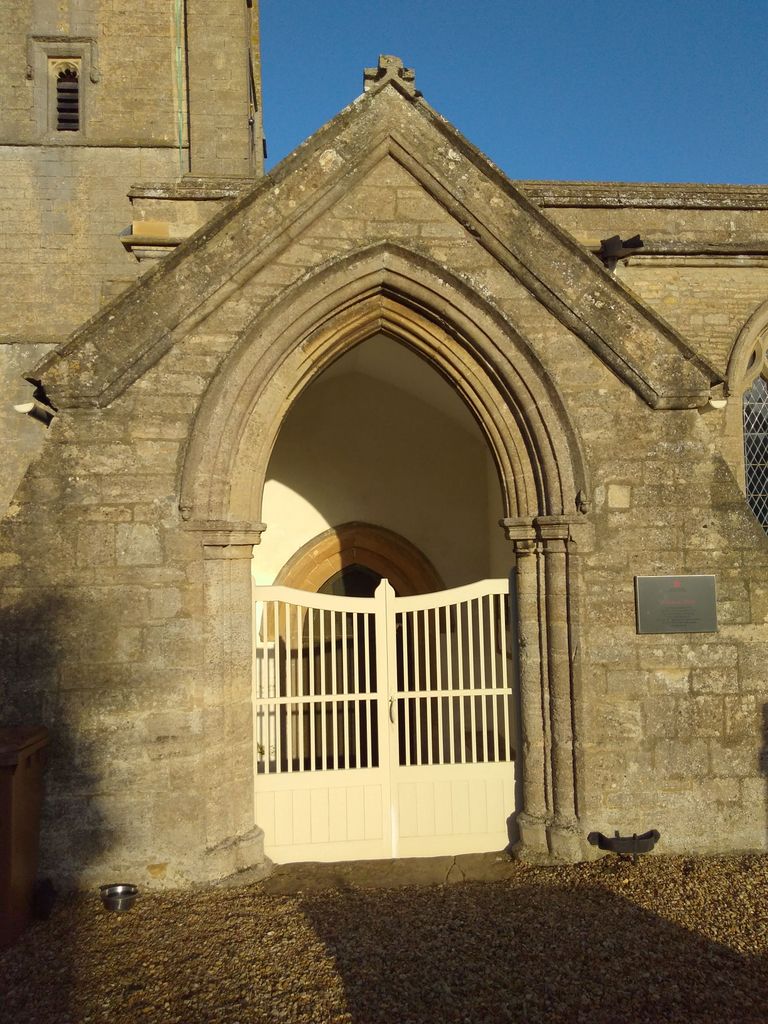
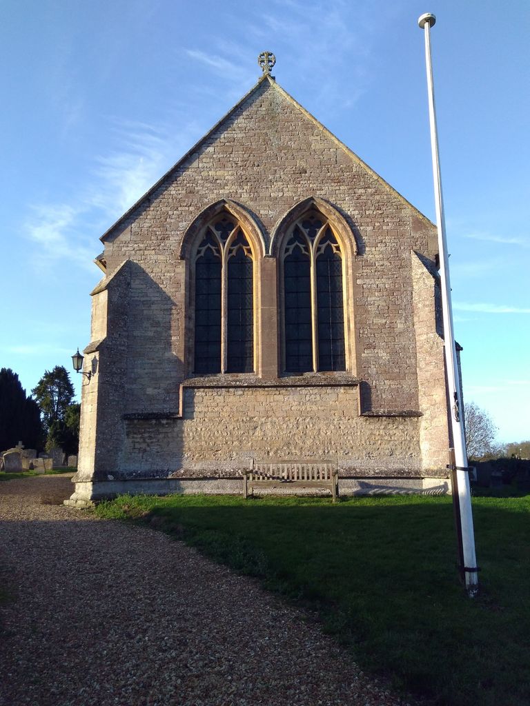
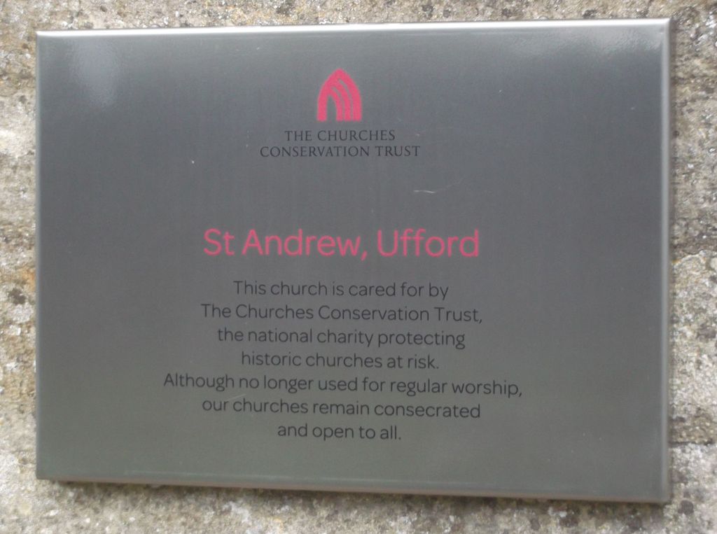
Where is St. Andrew's Churchyard?
St. Andrew's Churchyard is located at Main Street Ufford, Peterborough Unitary Authority ,Cambridgeshire ,England.
-
St. Andrew's Churchyard cemetery's updated grave count on graveviews.com?
0 memorials
-
Where are the coordinates of the St. Andrew's Churchyard?
Latitude: 52.6230210
Longitude: -0.3864660
Nearby Cemetories:
1. St. John the Baptist Churchyard
Barnack, Peterborough Unitary Authority, England
Coordinate: 52.6324997, -0.4068000
2. Barnack Bainton Road Cemetery
Barnack, Peterborough Unitary Authority, England
Coordinate: 52.6350291, -0.4069986
3. St Mary's Churchyard
Bainton, Peterborough Unitary Authority, England
Coordinate: 52.6411500, -0.3838900
4. St. Botolph Helpston Churchyard
Helpston, Peterborough Unitary Authority, England
Coordinate: 52.6359090, -0.3435870
5. Helpston Cemetery
Helpston, Peterborough Unitary Authority, England
Coordinate: 52.6374890, -0.3433900
6. St. Lawrence's Churchyard
Tallington, South Kesteven District, England
Coordinate: 52.6574520, -0.3879120
7. All Saints Churchyard
Wittering, Peterborough Unitary Authority, England
Coordinate: 52.6058600, -0.4421600
8. St. Peter's Churchyard
Maxey, Peterborough Unitary Authority, England
Coordinate: 52.6575500, -0.3455940
9. St. Andrew's Churchyard
West Deeping, South Kesteven District, England
Coordinate: 52.6640285, -0.3614634
10. St Michael & All Angels Churchyard
Uffington, South Kesteven District, England
Coordinate: 52.6570400, -0.4321700
11. St Mary the Virgin Church
Wansford, Huntingdonshire District, England
Coordinate: 52.5805160, -0.4173890
12. St. Michael & All Angels
Sutton, Peterborough Unitary Authority, England
Coordinate: 52.5754356, -0.3853515
13. St John the Baptist Churchyard
Stibbington, Huntingdonshire District, England
Coordinate: 52.5748920, -0.3926720
14. St Mary The Virgin Churchyard
Marholm, Peterborough Unitary Authority, England
Coordinate: 52.6029760, -0.3089570
15. Newstead Priory
Stamford, South Kesteven District, England
Coordinate: 52.6582800, -0.4542480
16. St Kyneburgha Churchyard
Castor, Peterborough Unitary Authority, England
Coordinate: 52.5729580, -0.3417630
17. Saint Benedict Churchyard
Glinton, Peterborough Unitary Authority, England
Coordinate: 52.6392160, -0.2959420
18. Glinton Cemetery
Glinton, Peterborough Unitary Authority, England
Coordinate: 52.6374399, -0.2947420
19. Greyfriars
Stamford, South Kesteven District, England
Coordinate: 52.6547990, -0.4697460
20. Yarwell Anglican and Methodist Church
Yarwell, East Northamptonshire Borough, England
Coordinate: 52.5671280, -0.4216160
21. Nassington and Yarwell Cemetery
Yarwell, East Northamptonshire Borough, England
Coordinate: 52.5682373, -0.4263580
22. Peterborough Crematorium
Bretton, Peterborough Unitary Authority, England
Coordinate: 52.6047280, -0.2915090
23. St. Martin's Churchyard
Stamford, South Kesteven District, England
Coordinate: 52.6490200, -0.4773670
24. St Remigius Churchyard
Water Newton, Huntingdonshire District, England
Coordinate: 52.5624550, -0.3656390