
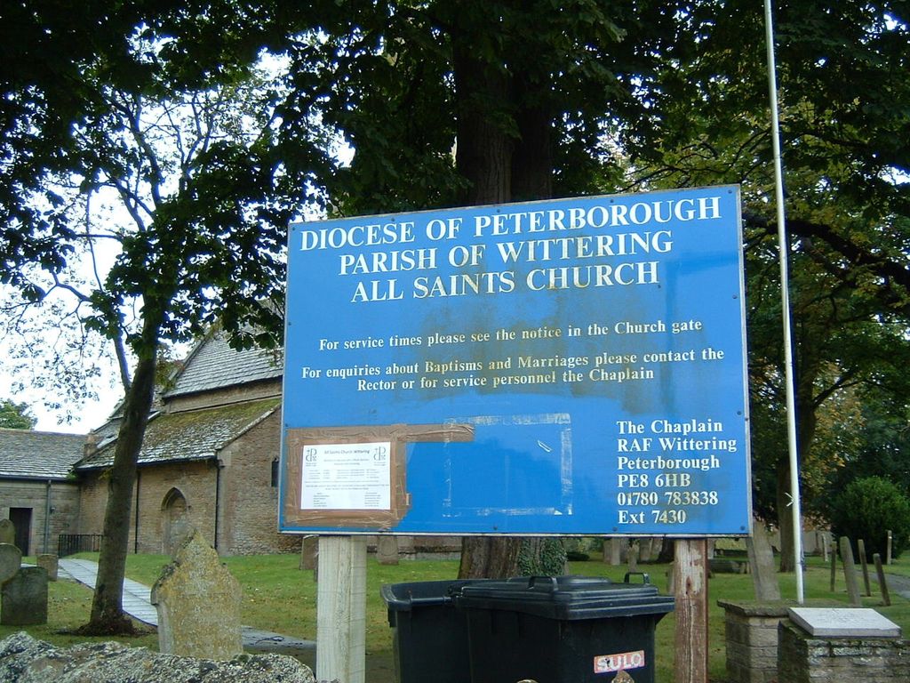
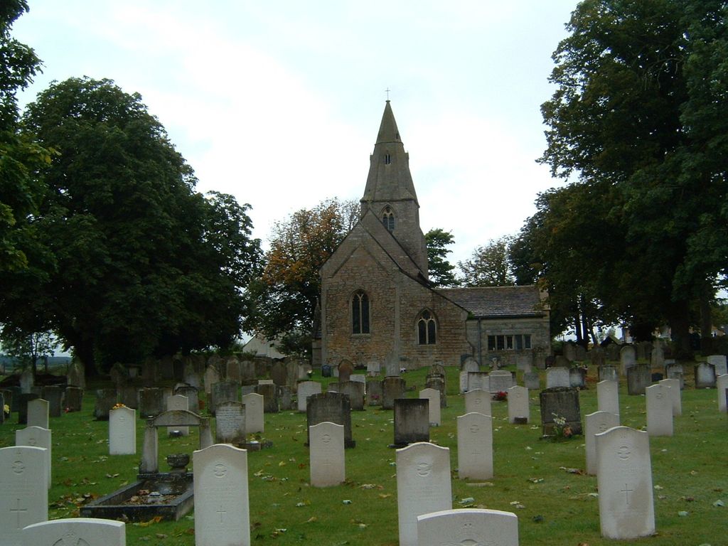
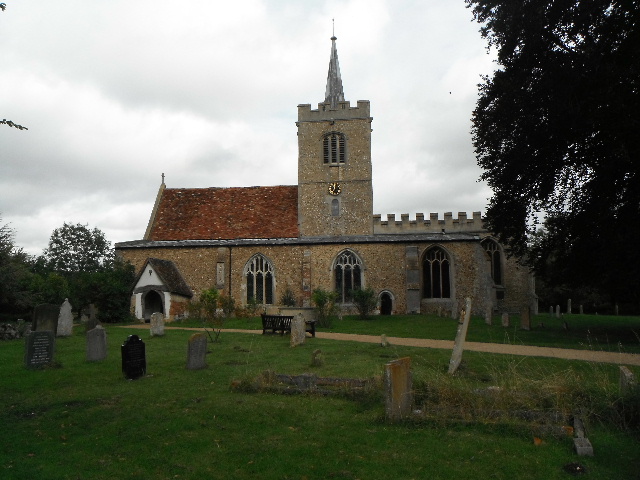
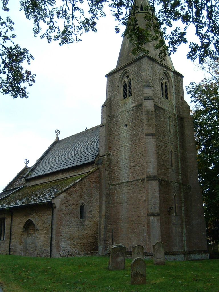
| Memorials | : | 0 |
| Location | : | Wittering, Peterborough Unitary Authority, England |
| Coordinate | : | 52.6058600, -0.4421600 |
frequently asked questions (FAQ):
-
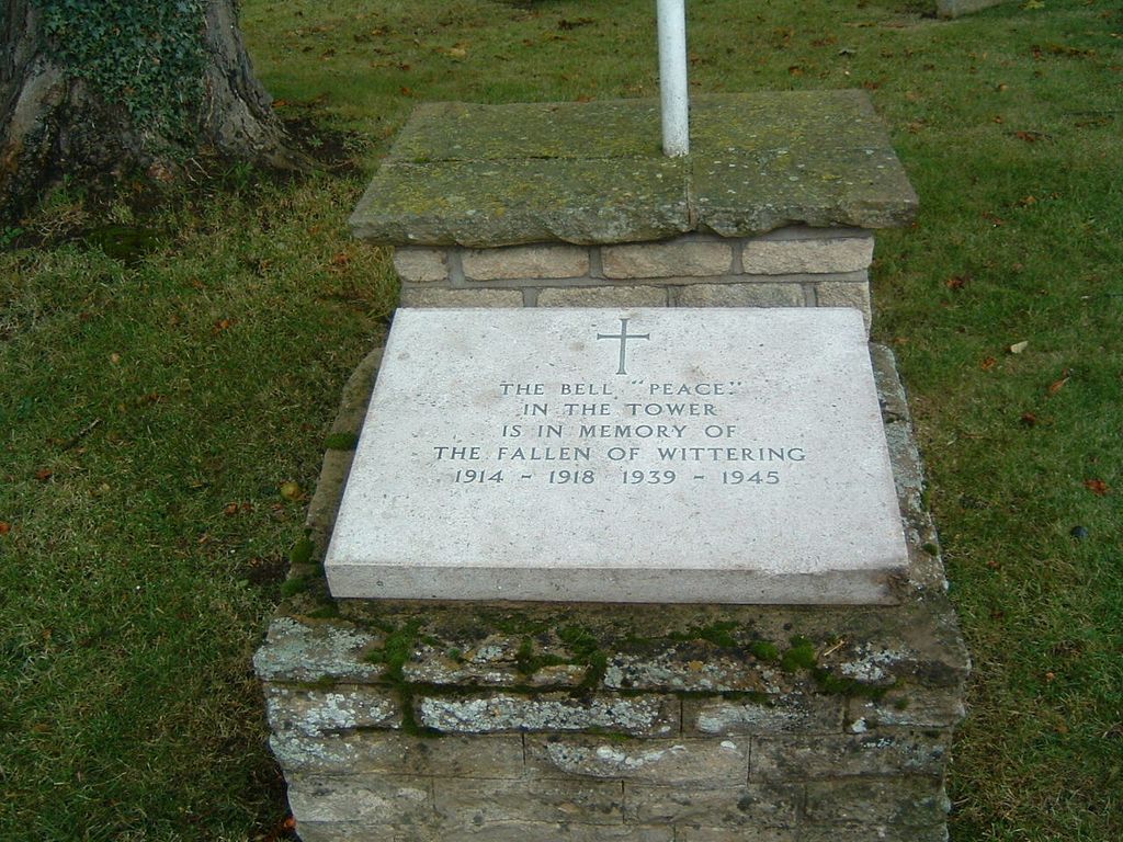
Where is All Saints Churchyard?
All Saints Churchyard is located at Church Road Wittering, Peterborough Unitary Authority ,Cambridgeshire , PE8 6AFEngland.
-
All Saints Churchyard cemetery's updated grave count on graveviews.com?
0 memorials
-
Where are the coordinates of the All Saints Churchyard?
Latitude: 52.6058600
Longitude: -0.4421600
Nearby Cemetories:
1. St Mary the Virgin Church
Wansford, Huntingdonshire District, England
Coordinate: 52.5805160, -0.4173890
2. St. John the Baptist Churchyard
Barnack, Peterborough Unitary Authority, England
Coordinate: 52.6324997, -0.4068000
3. Barnack Bainton Road Cemetery
Barnack, Peterborough Unitary Authority, England
Coordinate: 52.6350291, -0.4069986
4. St. Andrew's Churchyard
Ufford, Peterborough Unitary Authority, England
Coordinate: 52.6230210, -0.3864660
5. Nassington and Yarwell Cemetery
Yarwell, East Northamptonshire Borough, England
Coordinate: 52.5682373, -0.4263580
6. Yarwell Anglican and Methodist Church
Yarwell, East Northamptonshire Borough, England
Coordinate: 52.5671280, -0.4216160
7. St John the Baptist Churchyard
Stibbington, Huntingdonshire District, England
Coordinate: 52.5748920, -0.3926720
8. St. Michael & All Angels
Sutton, Peterborough Unitary Authority, England
Coordinate: 52.5754356, -0.3853515
9. All Saints Churchyard
Easton on the Hill, East Northamptonshire Borough, England
Coordinate: 52.6309146, -0.5075823
10. St. Martin's Churchyard
Stamford, South Kesteven District, England
Coordinate: 52.6490200, -0.4773670
11. St Mary's Churchyard
Bainton, Peterborough Unitary Authority, England
Coordinate: 52.6411500, -0.3838900
12. St. George's Churchyard
Stamford, South Kesteven District, England
Coordinate: 52.6514110, -0.4782500
13. St Mary's Churchyard
Stamford, South Kesteven District, England
Coordinate: 52.6514440, -0.4783930
14. St. Michael's Churchyard
Stamford, South Kesteven District, England
Coordinate: 52.6524606, -0.4774019
15. Saint John the Baptist Church
Stamford, South Kesteven District, England
Coordinate: 52.6517890, -0.4801320
16. St Michael & All Angels Churchyard
Uffington, South Kesteven District, England
Coordinate: 52.6570400, -0.4321700
17. Greyfriars
Stamford, South Kesteven District, England
Coordinate: 52.6547990, -0.4697460
18. All Saints Church
Stamford, South Kesteven District, England
Coordinate: 52.6522610, -0.4808400
19. Newstead Priory
Stamford, South Kesteven District, England
Coordinate: 52.6582800, -0.4542480
20. Saint Mary the Virgin & All Saints Churchyard
Nassington, East Northamptonshire Borough, England
Coordinate: 52.5530000, -0.4332000
21. St. Andrew's Churchyard
Collyweston, East Northamptonshire Borough, England
Coordinate: 52.6151719, -0.5303754
22. Collyweston Cemetery
Collyweston, East Northamptonshire Borough, England
Coordinate: 52.6115580, -0.5319430
23. Stamford Cemetery
Stamford, South Kesteven District, England
Coordinate: 52.6564300, -0.4905600
24. All Saints Churchyard
Tinwell, Rutland Unitary Authority, England
Coordinate: 52.6457410, -0.5144190