
| Memorials | : | 1 |
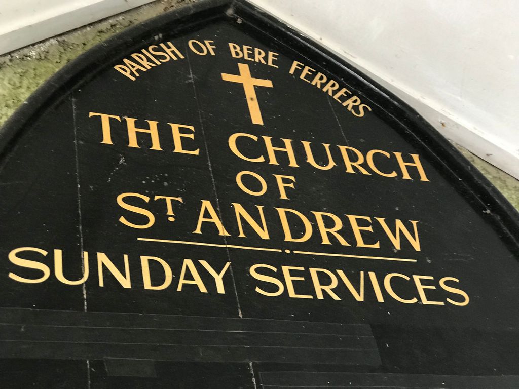
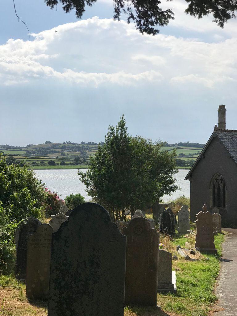
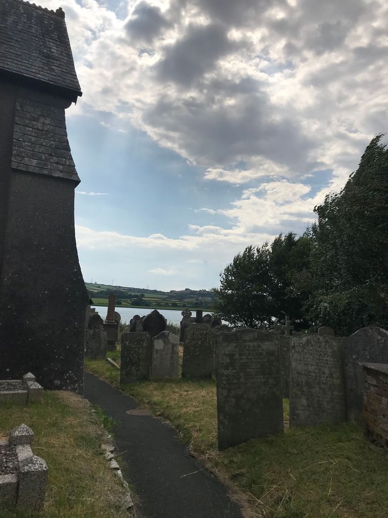
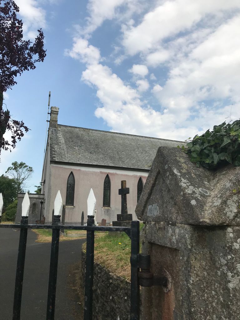
| Location | : | Bere Ferrers, West Devon Borough, England |
| Coordinate | : | 50.4505300, -4.1715320 |
| Description | : | The church of St Andrew has the oldest stained-glass window in Devon, excepting Exeter Cathedral; it is 600 years old. The building was probably built at various times between 1290 and 1340; it is recorded that an archpresbytery was founded here in 1333 and the north transept appears to be the earliest part of the church while the south aisle is the latest, perhaps 15th century. |
frequently asked questions (FAQ):
-
Where is St. Andrew's Churchyard?
St. Andrew's Churchyard is located at Bere Ferrers, West Devon Borough ,Devon , PL20England.
-
St. Andrew's Churchyard cemetery's updated grave count on graveviews.com?
1 memorials
-
Where are the coordinates of the St. Andrew's Churchyard?
Latitude: 50.4505300
Longitude: -4.1715320
Nearby Cemetories:
1. St Mary's Church
Tamerton Foliot, Plymouth Unitary Authority, England
Coordinate: 50.4279200, -4.1582500
2. Holy Trinity Churchyard
Bere Alston, West Devon Borough, England
Coordinate: 50.4789735, -4.1881879
3. St. Leonard & St. Dilpe Churchyard
Landulph, Cornwall Unitary Authority, England
Coordinate: 50.4324670, -4.2104830
4. St Budoc Churchyard
St Budeaux, Plymouth Unitary Authority, England
Coordinate: 50.4130353, -4.1769516
5. St. Pancras Churchyard
Pennycross, Plymouth Unitary Authority, England
Coordinate: 50.4012300, -4.1510700
6. Saint Andrew's Churchyard
Buckland Monachorum, West Devon Borough, England
Coordinate: 50.4951167, -4.1302055
7. St. Pancras Church Cemetery
Pennycross, Plymouth Unitary Authority, England
Coordinate: 50.4004000, -4.1497900
8. Buckland Monachorum Village Cemetery
Buckland Monachorum, West Devon Borough, England
Coordinate: 50.4962980, -4.1305260
9. St Mary's Botus Fleming
Botus Fleming, Cornwall Unitary Authority, England
Coordinate: 50.4298100, -4.2483700
10. Weston Mill Cemetery and Crematorium
Plymouth, Plymouth Unitary Authority, England
Coordinate: 50.3954330, -4.1719780
11. St. Mary's Churchyard
Bickleigh, South Hams District, England
Coordinate: 50.4420600, -4.0844100
12. St Andrew Churchyard
Calstock, Cornwall Unitary Authority, England
Coordinate: 50.5021270, -4.2062400
13. Calstock Cemetery
Calstock, Cornwall Unitary Authority, England
Coordinate: 50.5021300, -4.2082100
14. Estover
Estover, Plymouth Unitary Authority, England
Coordinate: 50.4100000, -4.1000000
15. St. Edward's Churchyard
Eggbuckland, Plymouth Unitary Authority, England
Coordinate: 50.4007100, -4.1146830
16. Gifford Place Jewish Cemetery
Plymouth, Plymouth Unitary Authority, England
Coordinate: 50.3841970, -4.1408370
17. Milehouse Cemetery
Devonport, Plymouth Unitary Authority, England
Coordinate: 50.3814650, -4.1636975
18. Albaston Cemetery
Calstock, Cornwall Unitary Authority, England
Coordinate: 50.5133240, -4.2225080
19. Ford Park Cemetery
Plymouth, Plymouth Unitary Authority, England
Coordinate: 50.3813700, -4.1446090
20. Efford Cemetery and Crematorium
Plymouth, Plymouth Unitary Authority, England
Coordinate: 50.3908900, -4.1100080
21. St. John the Baptist
Horrabridge, West Devon Borough, England
Coordinate: 50.5079900, -4.0992400
22. St. Andrew with St. Luke Churchyard
Devonport, Plymouth Unitary Authority, England
Coordinate: 50.3747560, -4.1625170
23. St Peter and The Holy Apostles Churchyard
Plymouth, Plymouth Unitary Authority, England
Coordinate: 50.3731580, -4.1544280
24. Ebenezer Methodist Chapel Burial Grounds
Plymouth, Plymouth Unitary Authority, England
Coordinate: 50.3732824, -4.1391355