
| Memorials | : | 23 |
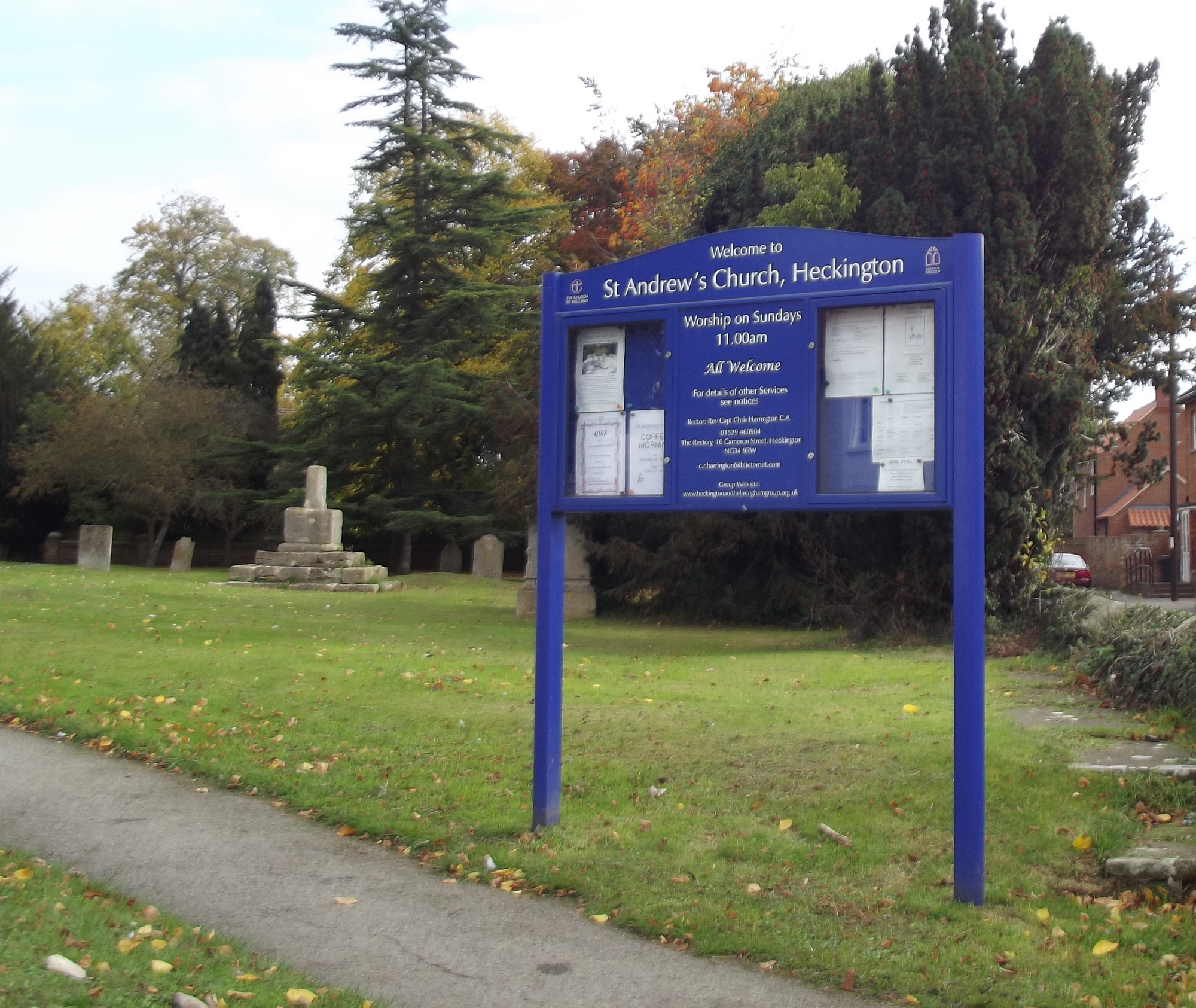
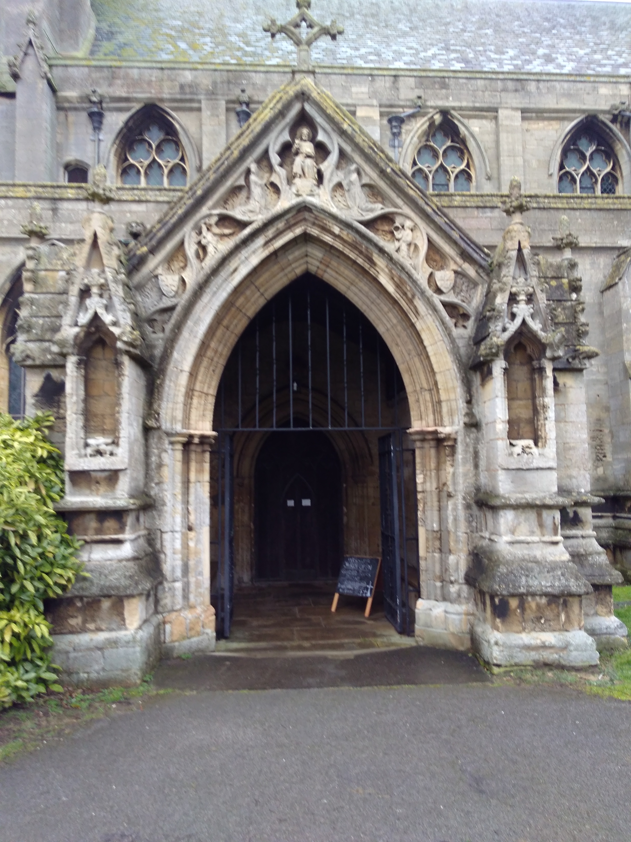
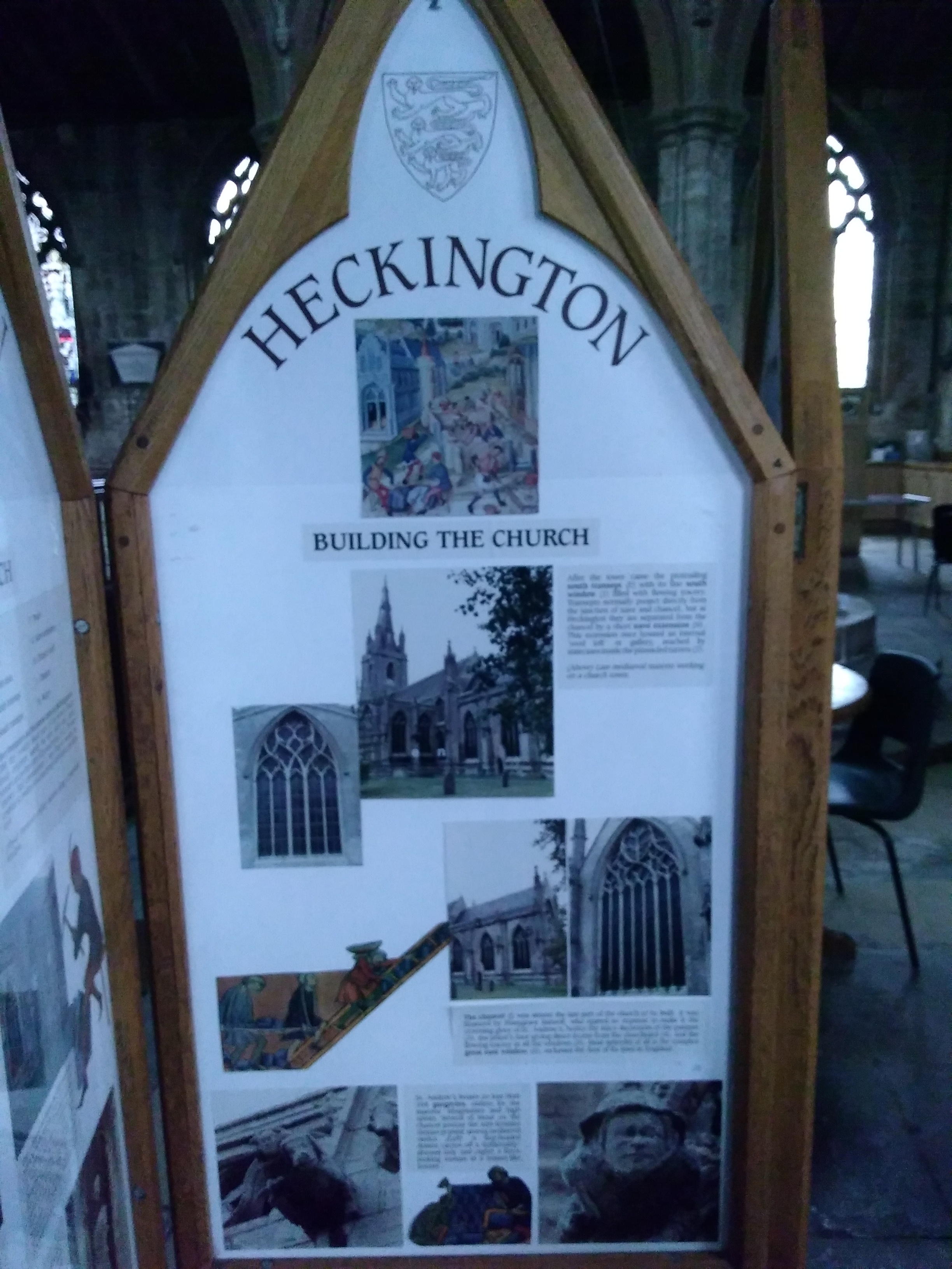
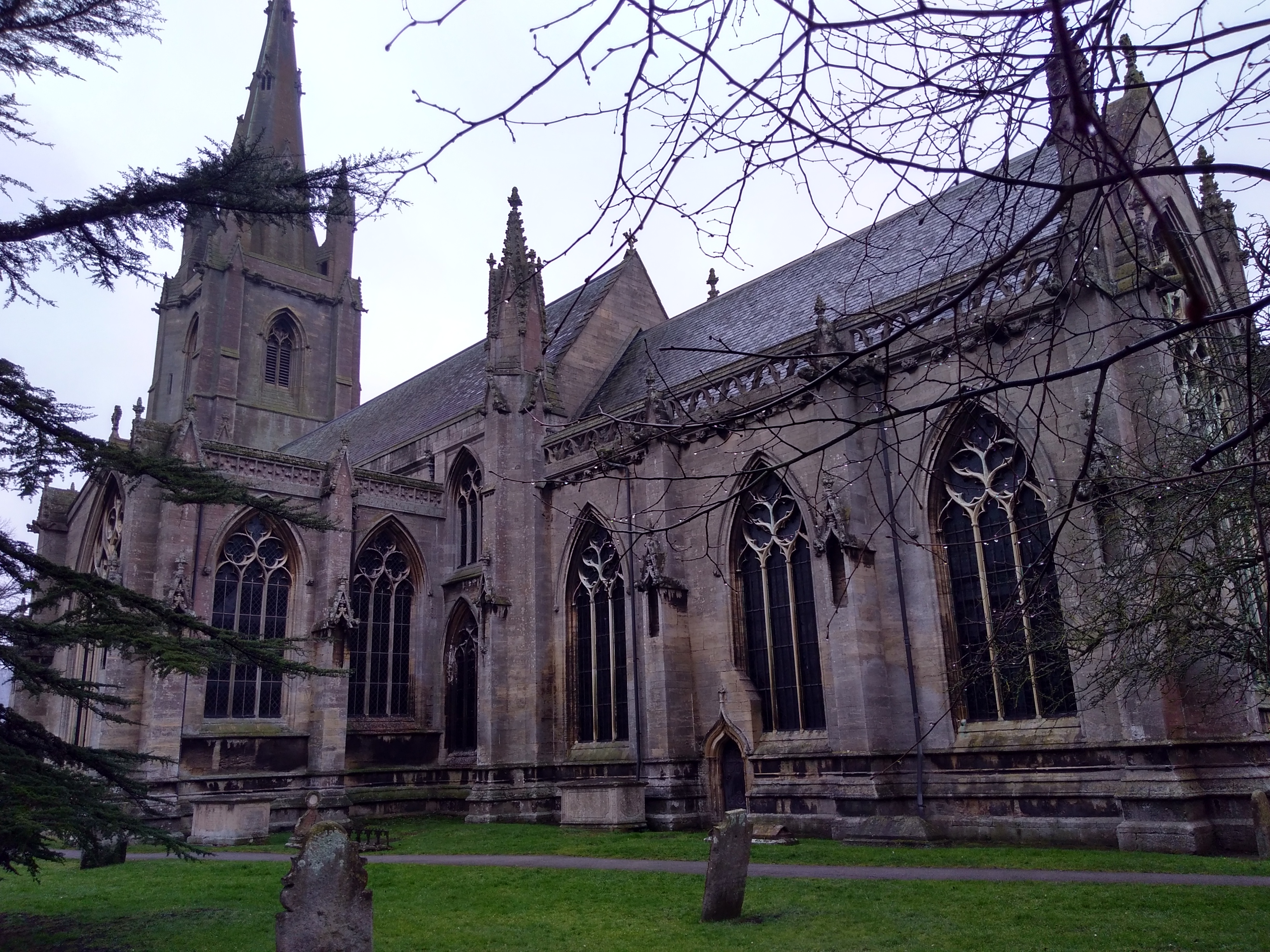
| Location | : | Heckington, North Kesteven District, England |
| Coordinate | : | 52.9822000, -0.2990800 |
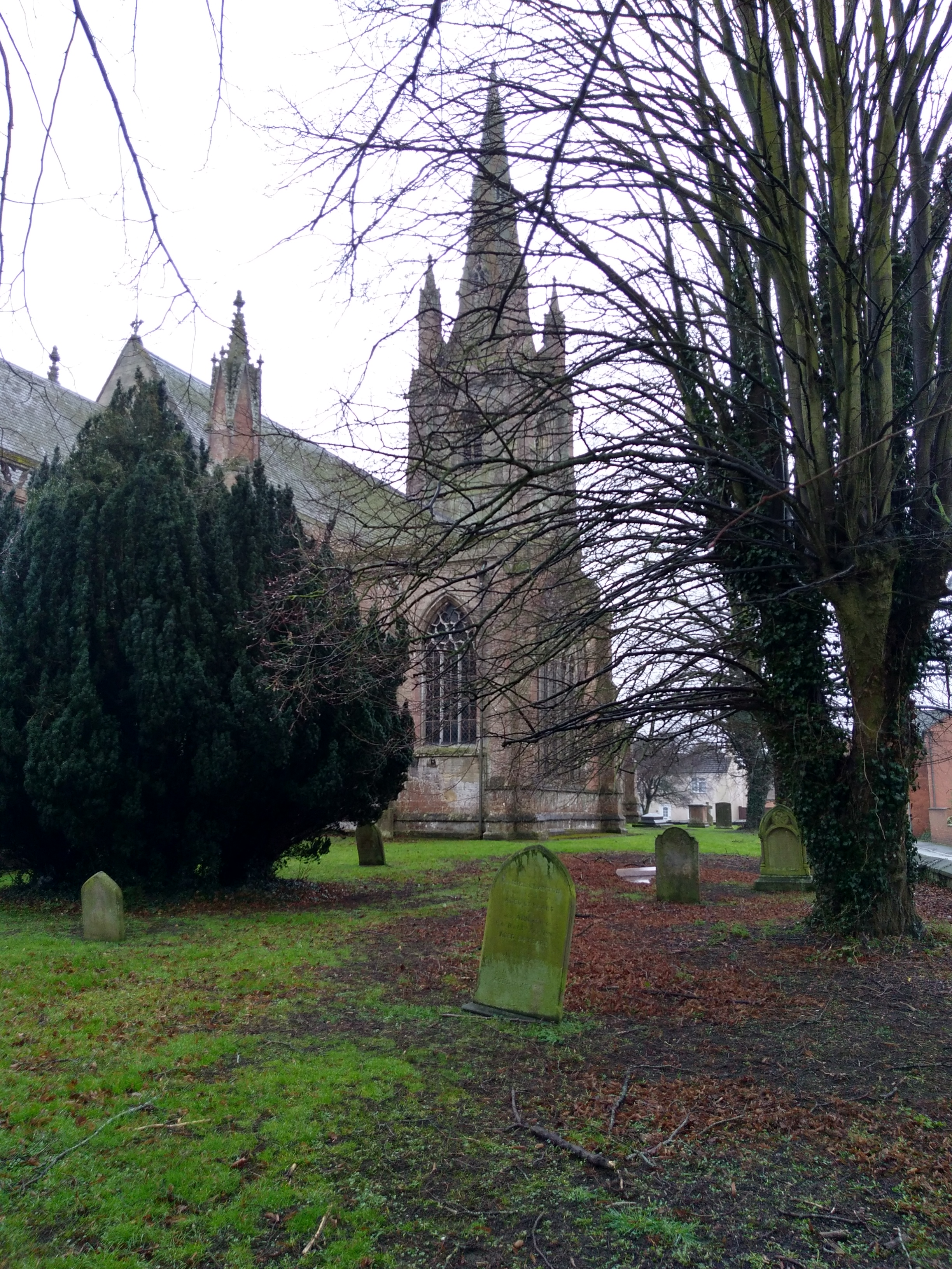
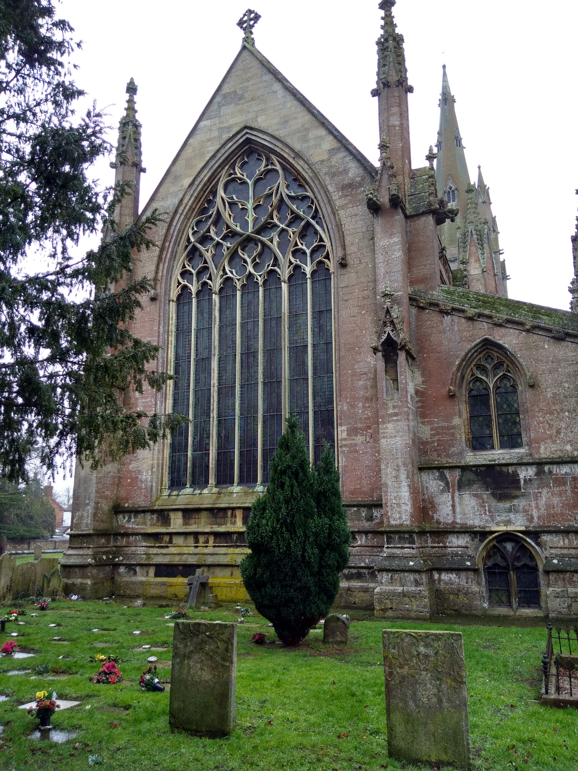
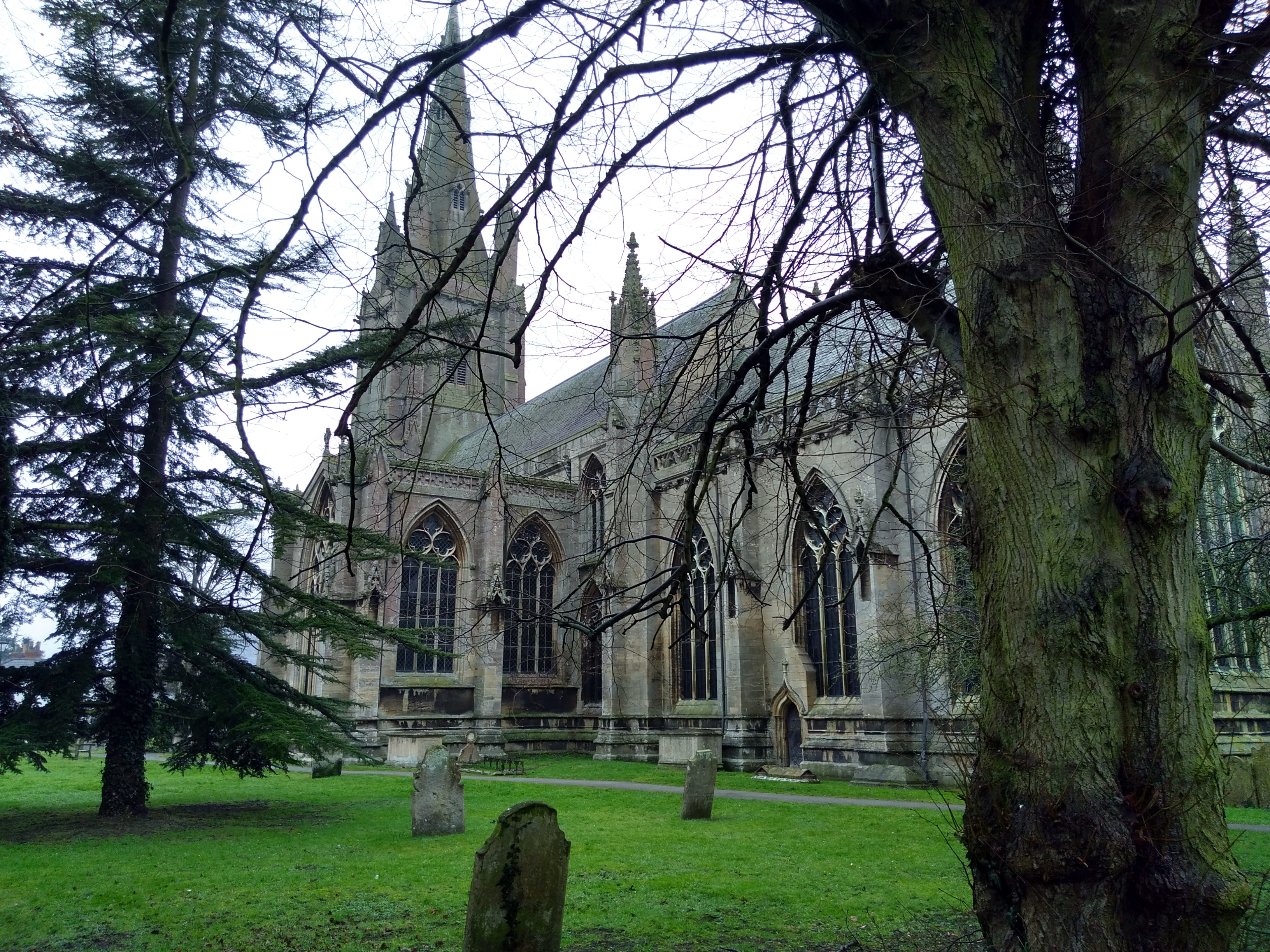
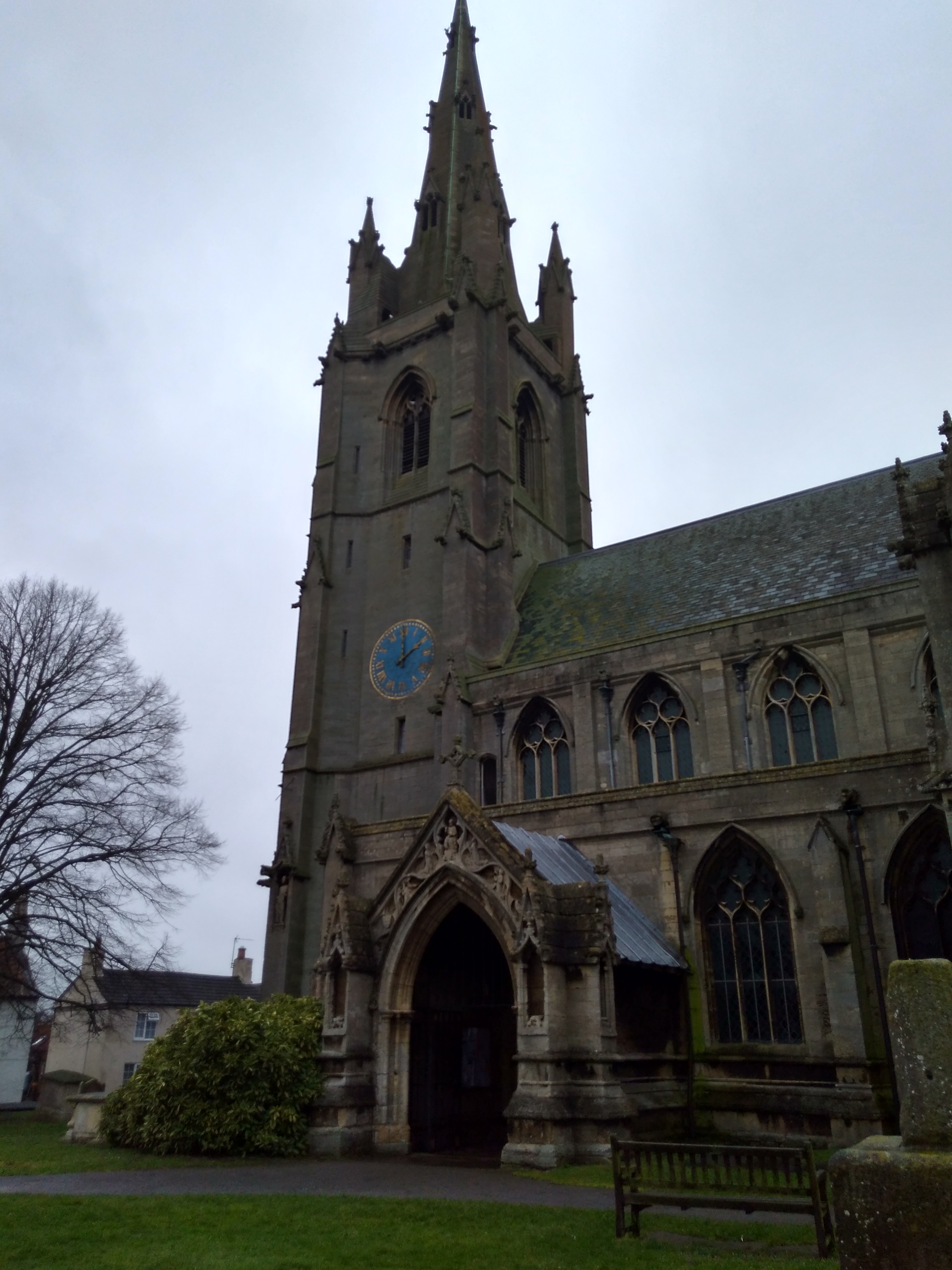
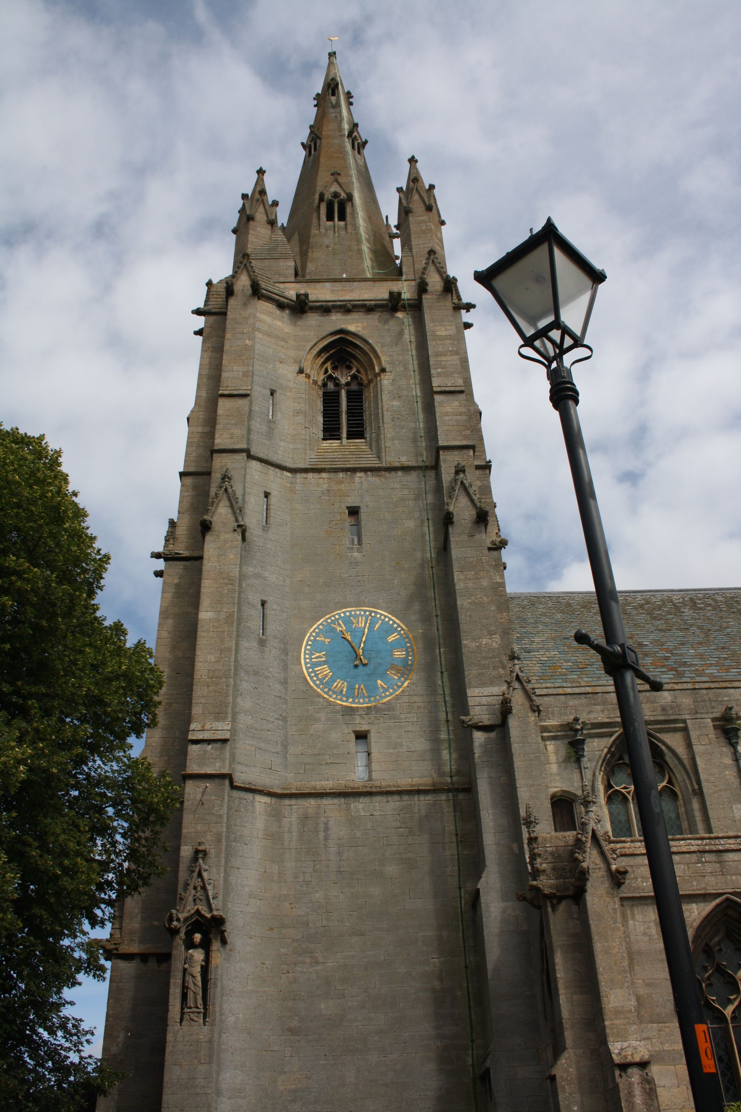
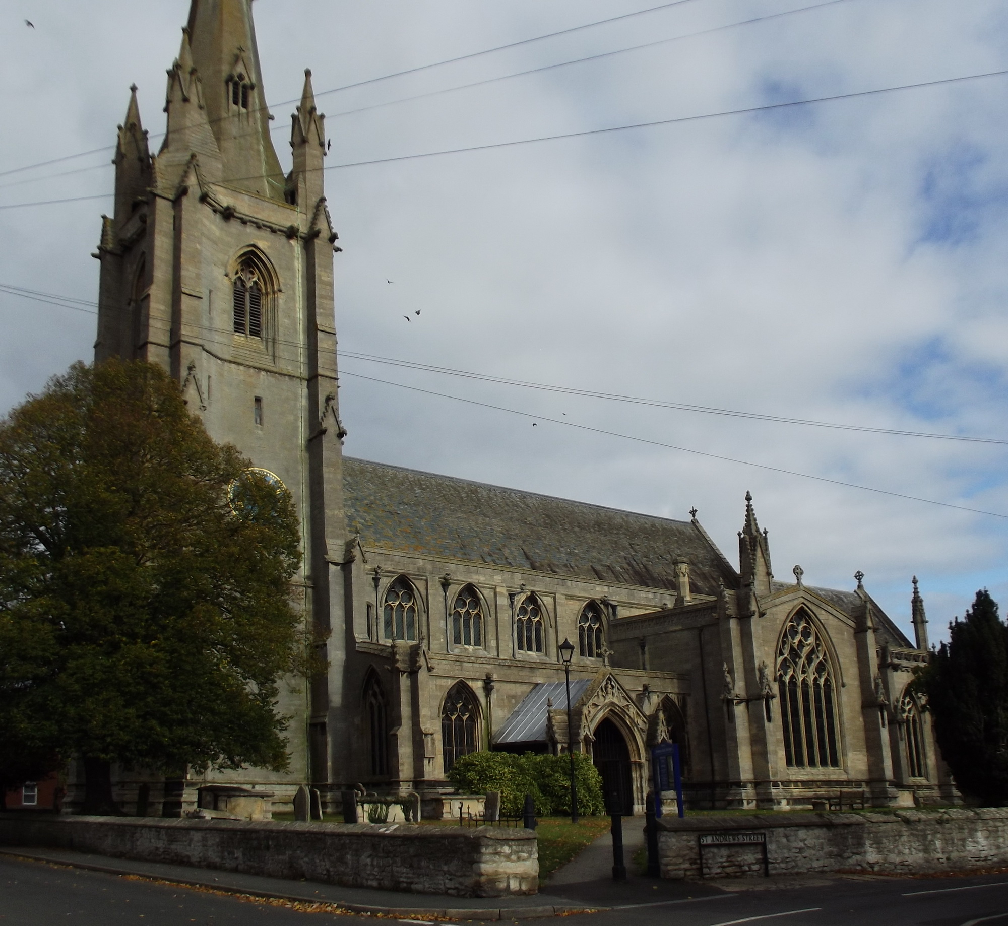
| Description | : | Saint Andrew's church is grade 1 listed, dating from the early 14c. |
frequently asked questions (FAQ):
-
Where is St. Andrew's Churchyard?
St. Andrew's Churchyard is located at Heckington, North Kesteven District ,Lincolnshire ,England.
-
St. Andrew's Churchyard cemetery's updated grave count on graveviews.com?
23 memorials
-
Where are the coordinates of the St. Andrew's Churchyard?
Latitude: 52.9822000
Longitude: -0.2990800
Nearby Cemetories:
1. Heckington Cemetery
Heckington, North Kesteven District, England
Coordinate: 52.9803830, -0.2920010
2. St John the Baptist Churchyard
Great Hale, North Kesteven District, England
Coordinate: 52.9712140, -0.2914550
3. Great Hale New Cemetery
Great Hale, North Kesteven District, England
Coordinate: 52.9678690, -0.2940500
4. St. Oswald's Churchyard
Howell, North Kesteven District, England
Coordinate: 53.0016300, -0.3100400
5. St. Andrew's Churchyard
Asgarby, North Kesteven District, England
Coordinate: 52.9941750, -0.3383450
6. St. Andrew Churchyard
Burton Pedwardine, North Kesteven District, England
Coordinate: 52.9646176, -0.3348618
7. St Andrew's Churchyard
Helpringham, North Kesteven District, England
Coordinate: 52.9521000, -0.3065000
8. St Andrews Churchyard
Helpringham, North Kesteven District, England
Coordinate: 52.9519900, -0.3065200
9. St. Denys Churchyard
Kirkby la Thorpe, North Kesteven District, England
Coordinate: 53.0008270, -0.3636800
10. St. Andrew's Churchyard
Scredington, North Kesteven District, England
Coordinate: 52.9498300, -0.3701700
11. Kyme Priory
North Kyme, North Kesteven District, England
Coordinate: 53.0326000, -0.2589000
12. St. Mary and All Saints Churchyard
South Kyme, North Kesteven District, England
Coordinate: 53.0325980, -0.2587880
13. St Edith's Church
Anwick, North Kesteven District, England
Coordinate: 53.0414520, -0.3391170
14. Anwick Church Lane Churchyard Extension
Anwick, North Kesteven District, England
Coordinate: 53.0420800, -0.3397200
15. Sleaford Cemetery
Sleaford, North Kesteven District, England
Coordinate: 53.0027590, -0.4056790
16. St Denys Churchyard
Sleaford, North Kesteven District, England
Coordinate: 52.9996510, -0.4088960
17. St Denys Churchyard
Silk Willoughby, North Kesteven District, England
Coordinate: 52.9736976, -0.4263297
18. St. Denis Churchyard
Silk Willoughby, North Kesteven District, England
Coordinate: 52.9738460, -0.4268830
19. Saint Luke Churchyard
North Kyme, North Kesteven District, England
Coordinate: 53.0591550, -0.2808970
20. St Botolph Churchyard
Quarrington, North Kesteven District, England
Coordinate: 52.9872010, -0.4312350
21. St Andrew Churchyard
Horbling, South Kesteven District, England
Coordinate: 52.9028460, -0.3380407
22. All Saints Churchyard
Ruskington, North Kesteven District, England
Coordinate: 53.0460330, -0.3866280
23. St Peter & St Paul Churchyard
Osbournby, North Kesteven District, England
Coordinate: 52.9298800, -0.4105100
24. St Peter Church
Threekingham, North Kesteven District, England
Coordinate: 52.9116000, -0.3812000