
| Memorials | : | 0 |
| Location | : | Coniston, South Lakeland District, England |
| Coordinate | : | 54.3688390, -3.0751230 |
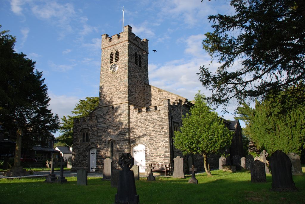
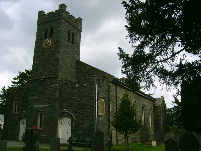
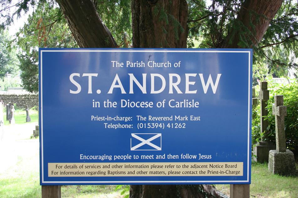
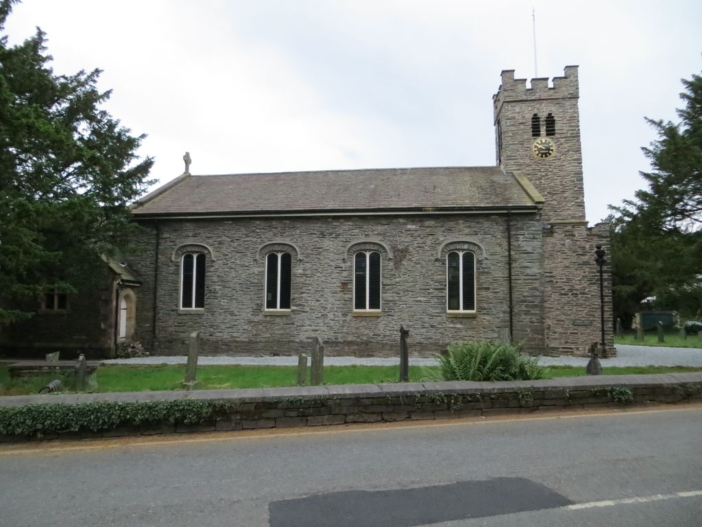
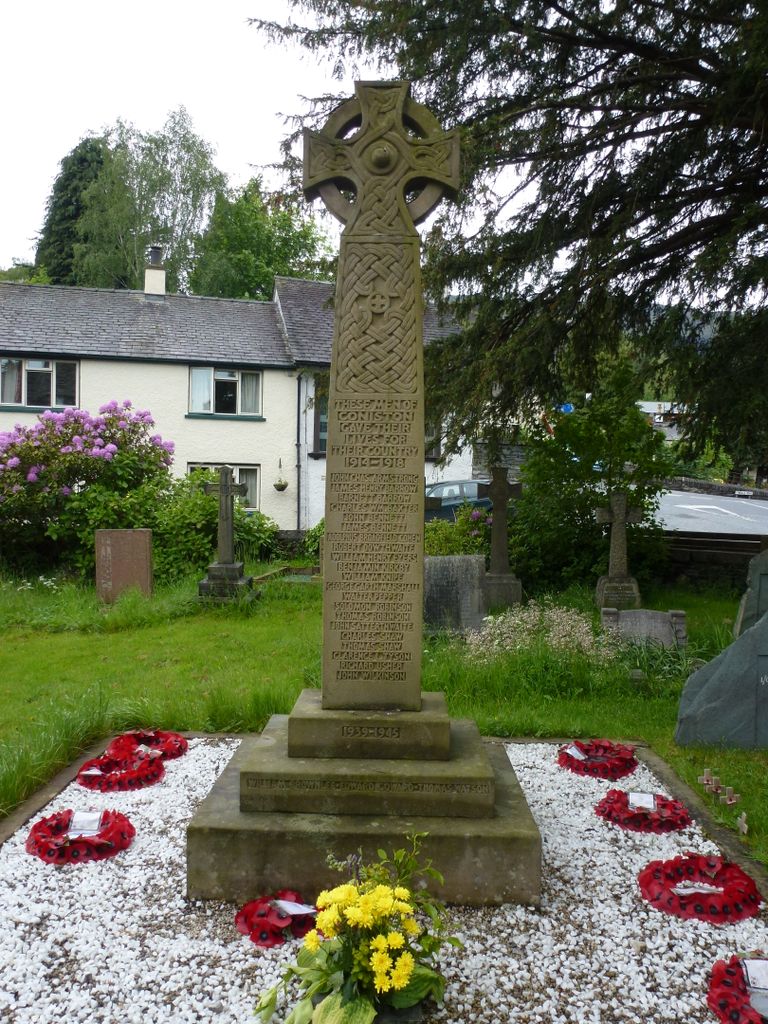
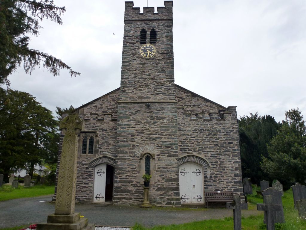
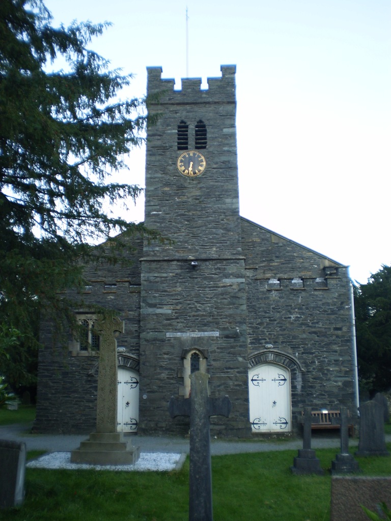
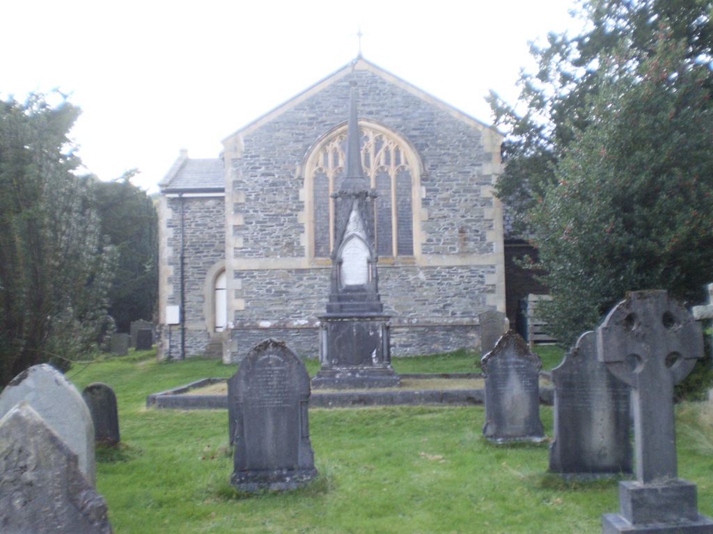
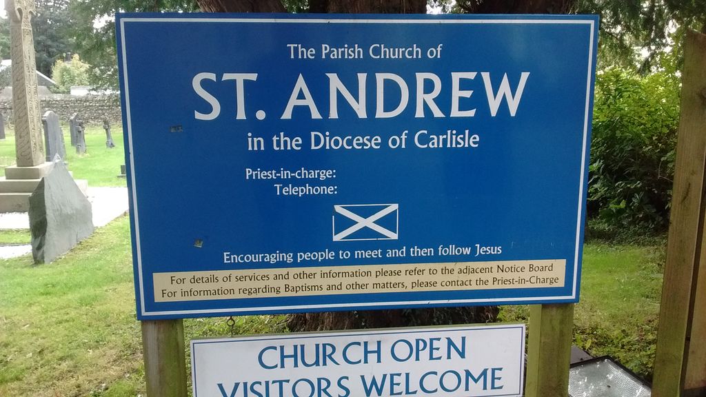
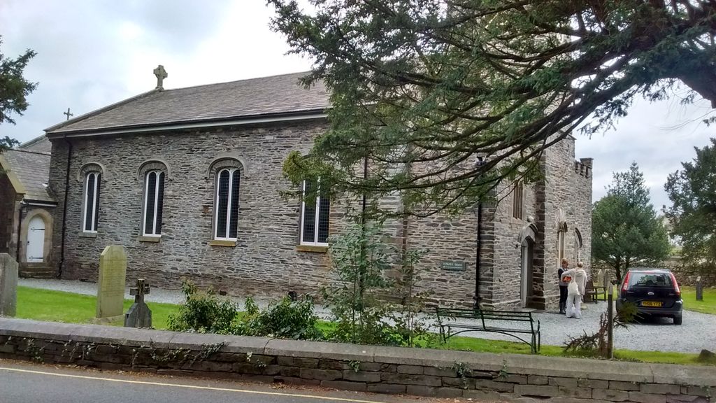
| Description | : | Coniston, also known as Church Coniston, and formerly Coniston Fleming, is a village in the region of Furness, England. It is located in the southern part of the Lake District National Park. Having been within the boundaries of the historic county of Lancashire since 1182, Coniston was part of the administrative county of Lancashire between 1889 and 1974. Today Coniston forms part of Cumbria. The village is situated at the head of Coniston Water, the third longest lake in the Lake District. St Andrew's Church was built in 1819, designed by J.Matson. It replaced an earlier church of 1586... Read More |
frequently asked questions (FAQ):
-
Where is St Andrew Churchyard?
St Andrew Churchyard is located at Coniston, South Lakeland District ,Cumbria , LA218ELEngland.
-
St Andrew Churchyard cemetery's updated grave count on graveviews.com?
0 memorials
-
Where are the coordinates of the St Andrew Churchyard?
Latitude: 54.3688390
Longitude: -3.0751230
Nearby Cemetories:
1. Coniston Graveyard
Coniston, South Lakeland District, England
Coordinate: 54.3694000, -3.0731000
2. Sacred Heart RC Churchyard
Coniston, South Lakeland District, England
Coordinate: 54.3610700, -3.0795620
3. Saint Luke Churchyard
Torver, South Lakeland District, England
Coordinate: 54.3390980, -3.1018010
4. Hawkshead Hill Baptist Church Cemetery
Hawkshead, South Lakeland District, England
Coordinate: 54.3799490, -3.0207400
5. St. Michael's And All Angels Churchyard
Hawkshead, South Lakeland District, England
Coordinate: 54.3742210, -2.9988740
6. Society of Friends Burial Ground
Hawkshead, South Lakeland District, England
Coordinate: 54.3739240, -2.9889880
7. All Saints Churchyard
Satterthwaite, South Lakeland District, England
Coordinate: 54.3227060, -3.0180820
8. Holy Trinity Church
Duddon, South Lakeland District, England
Coordinate: 54.3549054, -3.1877149
9. Saint Margarets Churchyard
Low Wray, South Lakeland District, England
Coordinate: 54.3982680, -2.9688040
10. Langdale Cemetery
Chapel Stile, South Lakeland District, England
Coordinate: 54.4377600, -3.0500180
11. St. Peter's Churchyard
Far Sawrey, South Lakeland District, England
Coordinate: 54.3480230, -2.9582610
12. Holy Trinity Churchyard
Chapel Stile, South Lakeland District, England
Coordinate: 54.4402700, -3.0486090
13. Holy Trinity Churchyard
Brathay, South Lakeland District, England
Coordinate: 54.4209960, -2.9845050
14. St Paul Churchyard
Rusland, South Lakeland District, England
Coordinate: 54.2981410, -3.0180230
15. St. John the Baptist Churchyard
Blawith, South Lakeland District, England
Coordinate: 54.2855900, -3.0944110
16. St. Mary The Virgin Churchyard
Ambleside, South Lakeland District, England
Coordinate: 54.4307600, -2.9661900
17. Bowness-on-Windermere Cemetery
Bowness-on-Windermere, South Lakeland District, England
Coordinate: 54.3584760, -2.9238880
18. Kelbarrow
Grasmere, South Lakeland District, England
Coordinate: 54.4550290, -3.0314230
19. Saint Martin's Churchyard
Bowness-on-Windermere, South Lakeland District, England
Coordinate: 54.3639680, -2.9208950
20. St John the Evangelist
Woodland, South Lakeland District, England
Coordinate: 54.2919829, -3.1579023
21. St. Anne's Churchyard
Ambleside, South Lakeland District, England
Coordinate: 54.4337370, -2.9610400
22. Windermere Cemetery
Windermere, South Lakeland District, England
Coordinate: 54.3823360, -2.9173970
23. St Oswald Churchyard
Grasmere, South Lakeland District, England
Coordinate: 54.4574260, -3.0237290
24. St. Mary's Churchyard
Rydal, South Lakeland District, England
Coordinate: 54.4472230, -2.9818800