
| Memorials | : | 9 |
| Location | : | Letcombe Regis, Vale of White Horse District, England |
| Coordinate | : | 51.5758900, -1.4527800 |
frequently asked questions (FAQ):
-
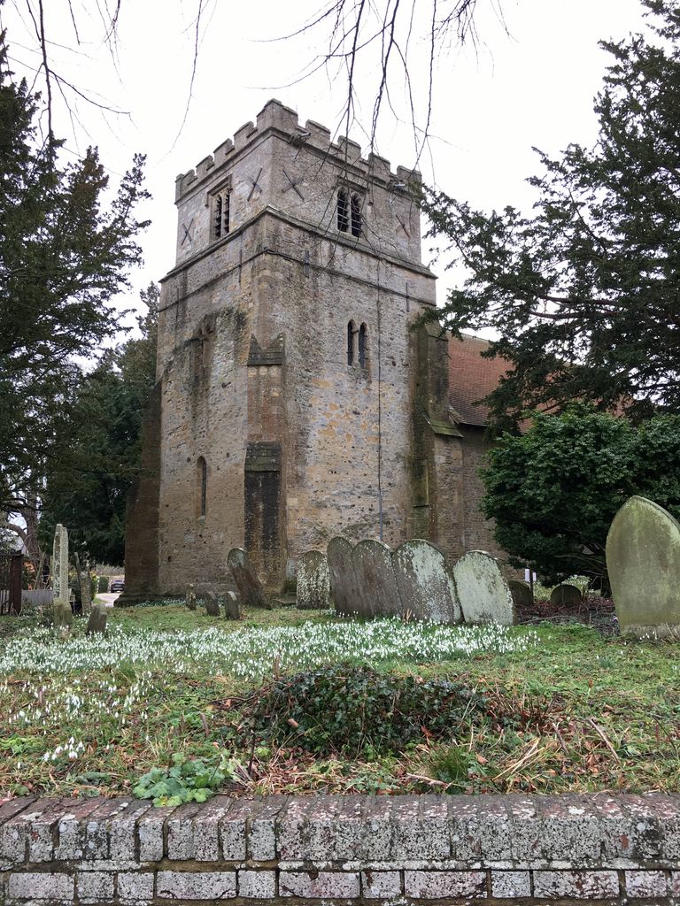
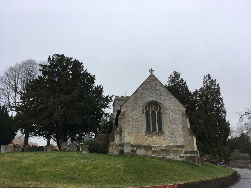
Where is St. Andrew Churchyard?
St. Andrew Churchyard is located at South Street Letcombe Regis, Vale of White Horse District ,Oxfordshire , OX12 9JSEngland.
-
St. Andrew Churchyard cemetery's updated grave count on graveviews.com?
9 memorials
-
Where are the coordinates of the St. Andrew Churchyard?
Latitude: 51.5758900
Longitude: -1.4527800

Nearby Cemetories:
1. Vicarage Hill Cemetery
East Challow, Vale of White Horse District, England
Coordinate: 51.5877810, -1.4512553
2. St Michael & All Angels Churchyard
Letcombe Bassett, Vale of White Horse District, England
Coordinate: 51.5620598, -1.4620905
3. St. Nicholas Churchyard
East Challow, Vale of White Horse District, England
Coordinate: 51.5919480, -1.4518960
4. St. Laurence Churchyard
West Challow, Vale of White Horse District, England
Coordinate: 51.5920920, -1.4708930
5. St. Peter and Paul Churchyard
Wantage, Vale of White Horse District, England
Coordinate: 51.5886860, -1.4284970
6. Wantage Baptist Church
Wantage, Vale of White Horse District, England
Coordinate: 51.5892190, -1.4270540
7. Chain Hill Cemetery
Wantage, Vale of White Horse District, England
Coordinate: 51.5843868, -1.4217107
8. St. Mary's Churchyard
Childrey, Vale of White Horse District, England
Coordinate: 51.5876500, -1.4818600
9. Holy Cross Churchyard
Sparsholt, Vale of White Horse District, England
Coordinate: 51.5857220, -1.5008460
10. Strict Baptist Chapel
Grove, Vale of White Horse District, England
Coordinate: 51.6051668, -1.4219236
11. East Lockinge All Souls Church Cemetery
Lockinge, Vale of White Horse District, England
Coordinate: 51.5846900, -1.3899900
12. St. John the Baptist Churchyard
Grove, Vale of White Horse District, England
Coordinate: 51.6112858, -1.4204966
13. East Lockinge War Memorial
Wantage, Vale of White Horse District, England
Coordinate: 51.5844426, -1.3883416
14. Grove Cemetery
Grove, Vale of White Horse District, England
Coordinate: 51.6160002, -1.4299708
15. All Saints Churchyard
Wantage, Vale of White Horse District, England
Coordinate: 51.5827496, -1.3822236
16. St. Mary's Churchyard
Fawley, West Berkshire Unitary Authority, England
Coordinate: 51.5298010, -1.4375380
17. St. James The Great Churchyard
Denchworth, Vale of White Horse District, England
Coordinate: 51.6229400, -1.4507800
18. Holy Trinity Churchyard
Ardington, Vale of White Horse District, England
Coordinate: 51.5920530, -1.3784550
19. Kingston Lisle Cemetery
Kingston Lisle, Vale of White Horse District, England
Coordinate: 51.5931324, -1.5284142
20. All Saints Churchyard
Goosey, Vale of White Horse District, England
Coordinate: 51.6225320, -1.4865200
21. St. James The Great Churchyard
West Hanney, Vale of White Horse District, England
Coordinate: 51.6325030, -1.4144360
22. Holy Trinity Churchyard
West Hendred, Vale of White Horse District, England
Coordinate: 51.5916030, -1.3556760
23. All Saints Churchyard
Farnborough, West Berkshire Unitary Authority, England
Coordinate: 51.5346370, -1.3741600
24. St Nicholas Churchyard
Baulking, Vale of White Horse District, England
Coordinate: 51.6142910, -1.5431850