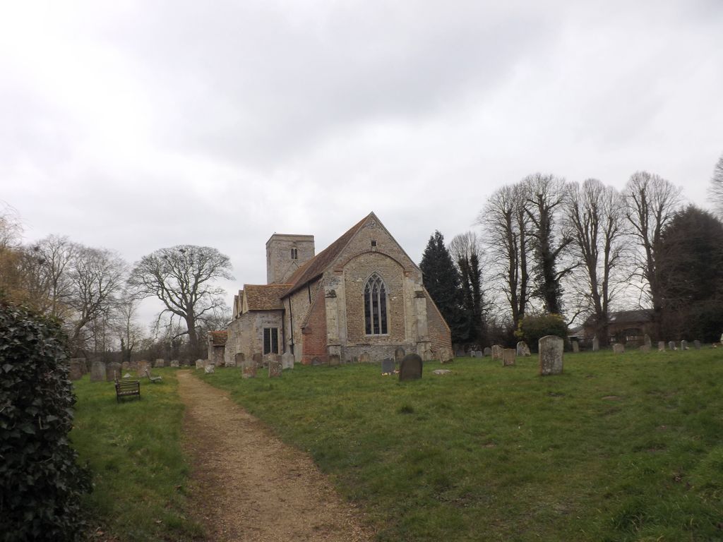
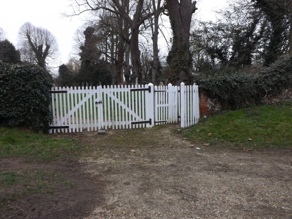
| Memorials | : | 0 |
| Location | : | Burrough Green, East Cambridgeshire District, England |
| Coordinate | : | 52.1700000, 0.4000000 |
frequently asked questions (FAQ):
-
Where is St Augustine of Canterbury Churchyard?
St Augustine of Canterbury Churchyard is located at Burrough Green, East Cambridgeshire District ,Cambridgeshire ,England.
-
St Augustine of Canterbury Churchyard cemetery's updated grave count on graveviews.com?
0 memorials
-
Where are the coordinates of the St Augustine of Canterbury Churchyard?
Latitude: 52.1700000
Longitude: 0.4000000
Nearby Cemetories:
1. St Peter Churchyard
Carlton, South Cambridgeshire District, England
Coordinate: 52.1505470, 0.3982180
2. St Mary the Less Churchyard
Westley Waterless, East Cambridgeshire District, England
Coordinate: 52.1805000, 0.3650000
3. St. Mary the Virgin Churchyard
Dullingham, East Cambridgeshire District, England
Coordinate: 52.1934500, 0.3850600
4. St Mary's Churchyard
Weston Colville, South Cambridgeshire District, England
Coordinate: 52.1530000, 0.3620000
5. St Mary the Virgin Churchyard
Great Bradley, St Edmundsbury Borough, England
Coordinate: 52.1516228, 0.4457830
6. Wood Ditton Cemetery
Woodditton, East Cambridgeshire District, England
Coordinate: 52.2056250, 0.4273720
7. St Andrew's Church
West Wratting, South Cambridgeshire District, England
Coordinate: 52.1461000, 0.3456200
8. All Saints Churchyard
Little Bradley, St Edmundsbury Borough, England
Coordinate: 52.1417700, 0.4562500
9. All Saints Churchyard
Kirtling, East Cambridgeshire District, England
Coordinate: 52.1909900, 0.4663280
10. St Peter Churchyard
Little Thurlow, St Edmundsbury Borough, England
Coordinate: 52.1335150, 0.4527380
11. Chapel House Graveyard
Great Thurlow, St Edmundsbury Borough, England
Coordinate: 52.1292493, 0.4502808
12. All Saints Churchyard
Great Thurlow, St Edmundsbury Borough, England
Coordinate: 52.1259500, 0.4538200
13. St. George's Churchyard
Six Mile Bottom, South Cambridgeshire District, England
Coordinate: 52.1861900, 0.3117400
14. Dalham Hall Stud
Newmarket, Forest Heath District, England
Coordinate: 52.2242200, 0.4349510
15. Banstead Manor Stud Equine Cemetery
Cheveley, East Cambridgeshire District, England
Coordinate: 52.2114800, 0.4719900
16. National Stud Equine Cemetery
Newmarket, Forest Heath District, England
Coordinate: 52.2272000, 0.3644800
17. St Mary Churchyard
Cheveley, East Cambridgeshire District, England
Coordinate: 52.2199960, 0.4648940
18. St Mary the Virgin Churchyard
Withersfield, St Edmundsbury Borough, England
Coordinate: 52.1030300, 0.4095000
19. St Margaret Antioch Parish Churchyard
Cowlinge, St Edmundsbury Borough, England
Coordinate: 52.1658530, 0.5112440
20. Beech House Stud
Newmarket, Forest Heath District, England
Coordinate: 52.2318930, 0.4475510
21. Newmarket Town Cemetery
Newmarket, Forest Heath District, England
Coordinate: 52.2405780, 0.3976210
22. All Saints Churchyard
Newmarket, Forest Heath District, England
Coordinate: 52.2430900, 0.4071700
23. All Saints Churchyard
Horseheath, South Cambridgeshire District, England
Coordinate: 52.1018130, 0.3547390
24. National Horseracing Museum
Newmarket, Forest Heath District, England
Coordinate: 52.2436200, 0.4074990


