
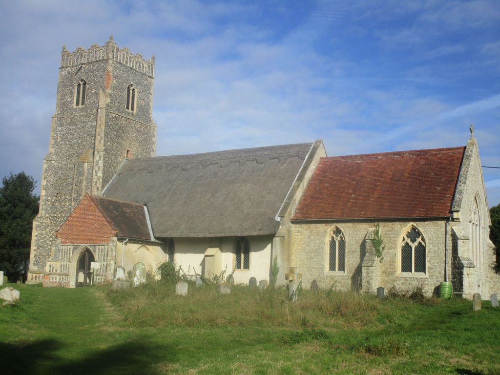
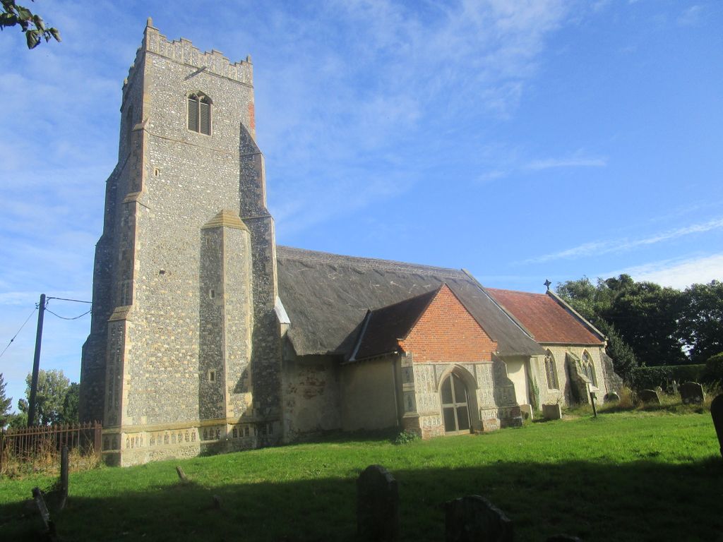
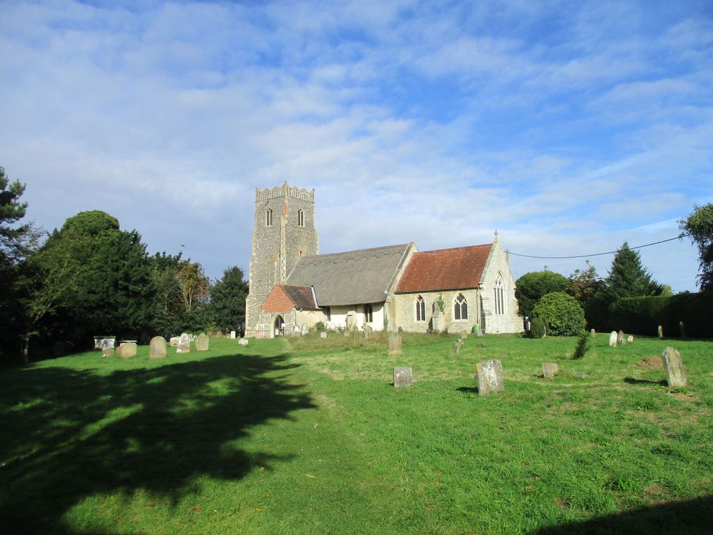
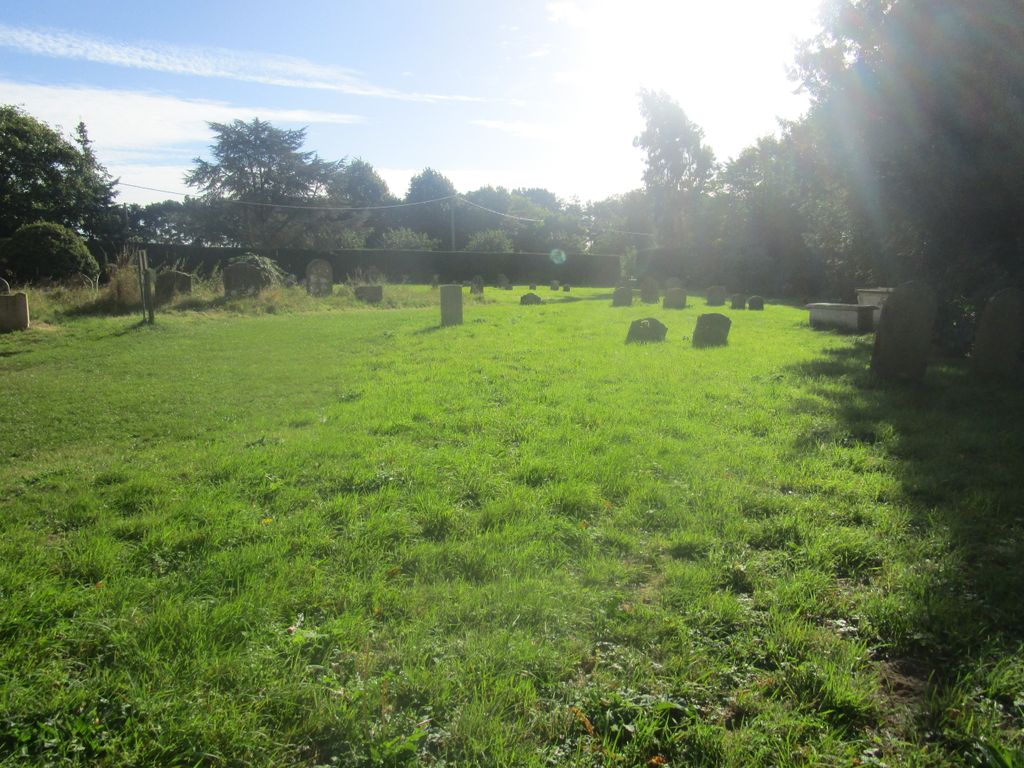
| Memorials | : | 0 |
| Location | : | Iken, Suffolk Coastal District, England |
| Coordinate | : | 52.1550820, 1.5250830 |
frequently asked questions (FAQ):
-
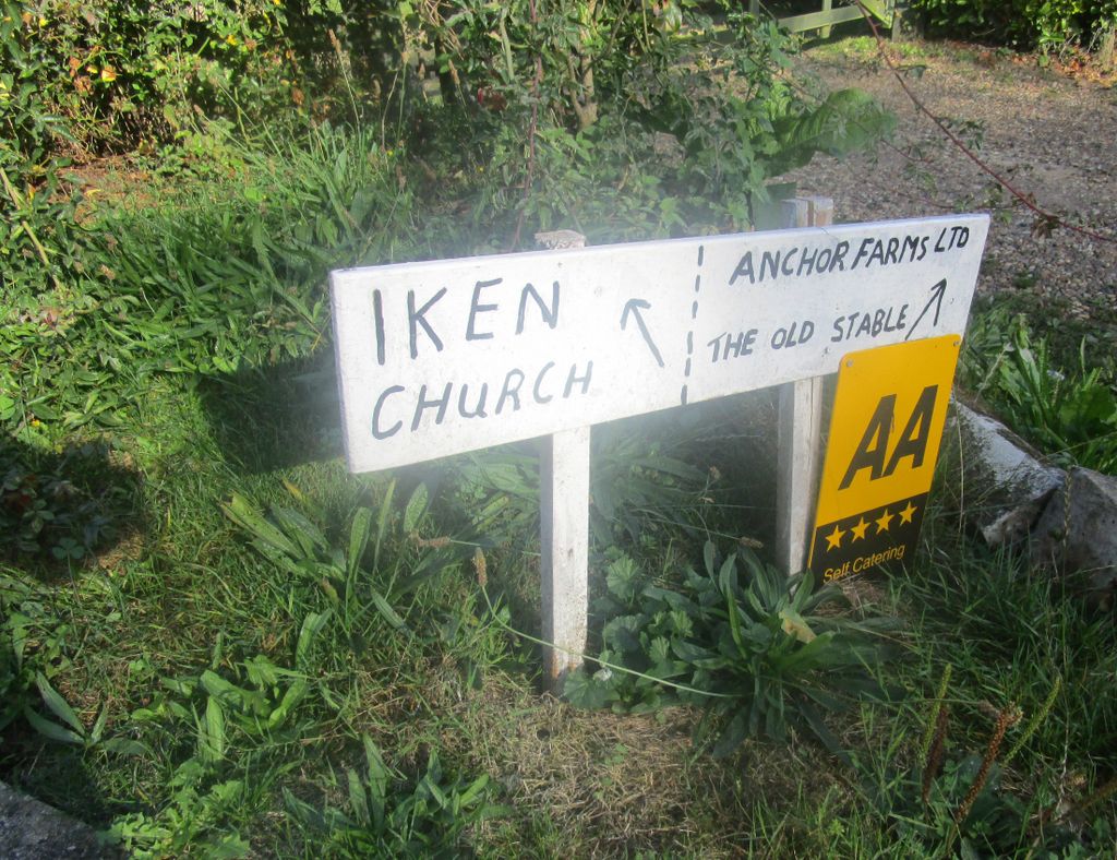
Where is St. Botolph's Churchyard?
St. Botolph's Churchyard is located at Church Lane Iken, Suffolk Coastal District ,Suffolk , IP12 2ESEngland.
-
St. Botolph's Churchyard cemetery's updated grave count on graveviews.com?
0 memorials
-
Where are the coordinates of the St. Botolph's Churchyard?
Latitude: 52.1550820
Longitude: 1.5250830
Nearby Cemetories:
1. St John The Baptist Churchyard
Snape, Suffolk Coastal District, England
Coordinate: 52.1804590, 1.5019170
2. St Mary Parish Churchyard
Friston, Suffolk Coastal District, England
Coordinate: 52.1898500, 1.5288200
3. All Saints Churchyard
Sudbourne, Suffolk Coastal District, England
Coordinate: 52.1127220, 1.5343890
4. Tunstall Baptist Chapel Yard
Tunstall, Suffolk Coastal District, England
Coordinate: 52.1437000, 1.4529690
5. St. Peter and St. Paul Churchyard
Aldeburgh, Suffolk Coastal District, England
Coordinate: 52.1549460, 1.5999310
6. Saint Michael's Churchyard
Tunstall, Suffolk Coastal District, England
Coordinate: 52.1437250, 1.4524320
7. St. Peter's Churchyard
Chillesford, Suffolk Coastal District, England
Coordinate: 52.1169420, 1.4787340
8. St. Mary Magdalene Church Burial Ground
Sternfield, Suffolk Coastal District, England
Coordinate: 52.2005250, 1.4971480
9. St. Lawrence Churchyard
Knodishall, Suffolk Coastal District, England
Coordinate: 52.2024000, 1.5488000
10. St Peter's Churchyard
Blaxhall, Suffolk Coastal District, England
Coordinate: 52.1604450, 1.4442330
11. St Andrews Churchyard
Aldringham, Suffolk Coastal District, England
Coordinate: 52.1888450, 1.5877820
12. St Mary's Church Burial Ground
Farnham, Suffolk Coastal District, England
Coordinate: 52.1872580, 1.4549173
13. St George's Churchyard
Dittisham, South Hams District, England
Coordinate: 52.1993239, 1.5785005
14. St. Margaret's Parish Churchyard
Leiston, Suffolk Coastal District, England
Coordinate: 52.2066800, 1.5679300
15. Stratford St Andrew Church Burial Ground
Stratford St Andrew, Suffolk Coastal District, England
Coordinate: 52.1892250, 1.4483270
16. St Mary Churchyard
Benhall, Suffolk Coastal District, England
Coordinate: 52.2039100, 1.4700610
17. Leiston Cemetery
Leiston, Suffolk Coastal District, England
Coordinate: 52.2105940, 1.5626350
18. St Bartholomew's Churchyard
Orford, Suffolk Coastal District, England
Coordinate: 52.0952340, 1.5352670
19. Quaker cemetery
Leiston, Suffolk Coastal District, England
Coordinate: 52.2073800, 1.5742950
20. St John the Baptist Churchyard
Saxmundham, Suffolk Coastal District, England
Coordinate: 52.2129440, 1.4953350
21. St Andrew at Little Glemham
Little Glemham, Suffolk Coastal District, England
Coordinate: 52.1768530, 1.4305400
22. Saxmundham Cemetery
Saxmundham, Suffolk Coastal District, England
Coordinate: 52.2129370, 1.4875290
23. United Reformed Church Churchyard
Saxmundham, Suffolk Coastal District, England
Coordinate: 52.2151680, 1.4879910
24. St John the Baptist Churchyard
Butley, Suffolk Coastal District, England
Coordinate: 52.0989210, 1.4647100