
| Memorials | : | 0 |
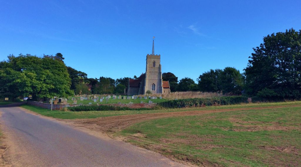
| Location | : | Sudbourne, Suffolk Coastal District, England |
| Coordinate | : | 52.1127220, 1.5343890 |
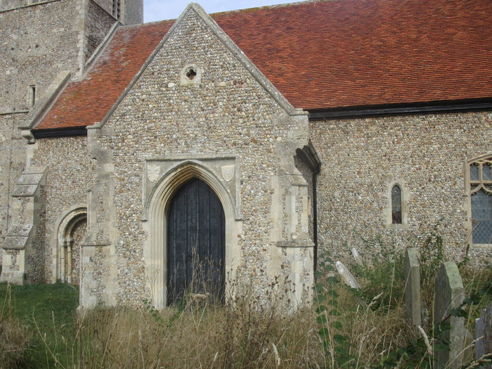
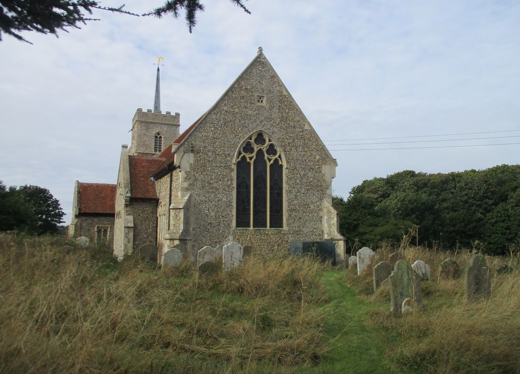
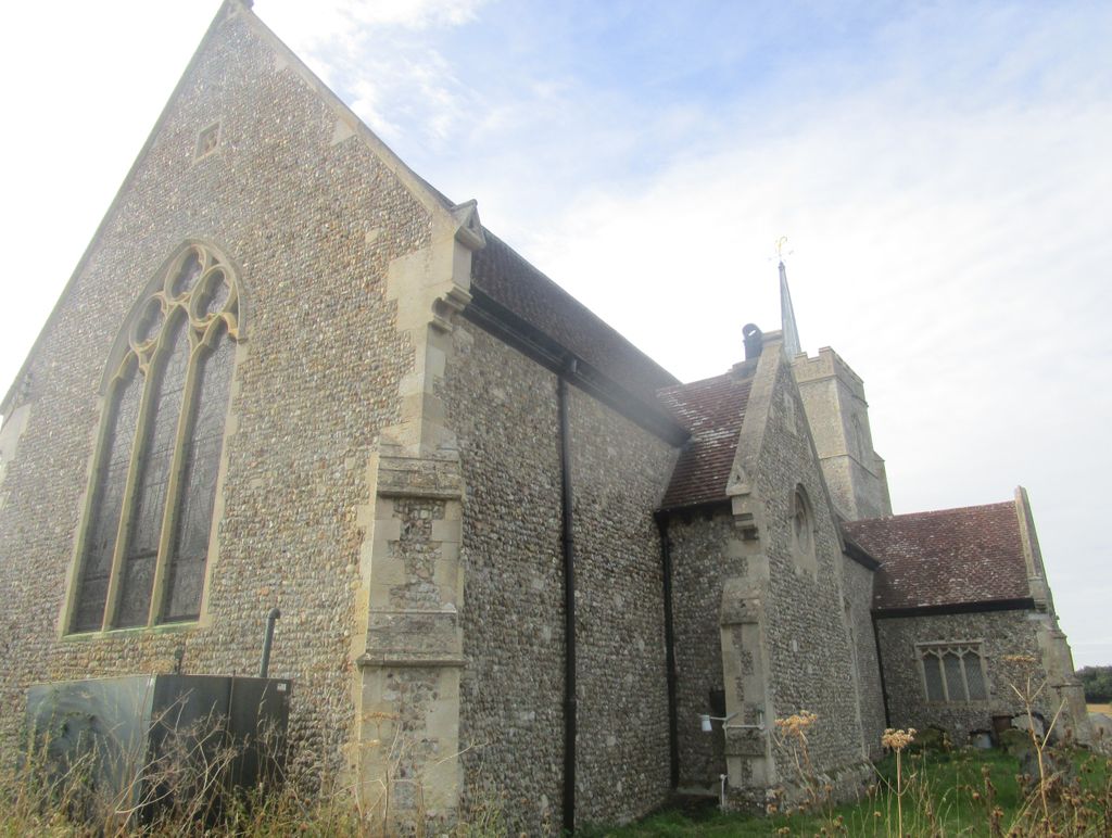
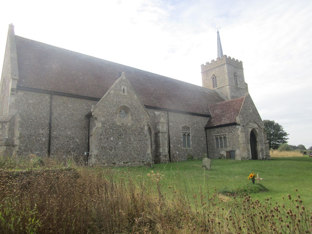
| Description | : | Surviving from the medieval church are an excellent Norman south doorway and an oddly shaped font carved around 1200, shaped like a large cauldron and supported on four slender shafts with moulded capitals. On the west wall hang a pair of funeral hatchments, one to the Devereux family, Viscounts of Hereford, and the other to the Marquesses of Hertford. The most impressive historic feature inside the church is a magnificent 17th century memorial to Sir Michael Stanhope (d. 1621), who purchased the manor of Sudbourne from the crown. It latter passed by marriage to the Devereux, Viscounts Hereford, and from... Read More |
frequently asked questions (FAQ):
-
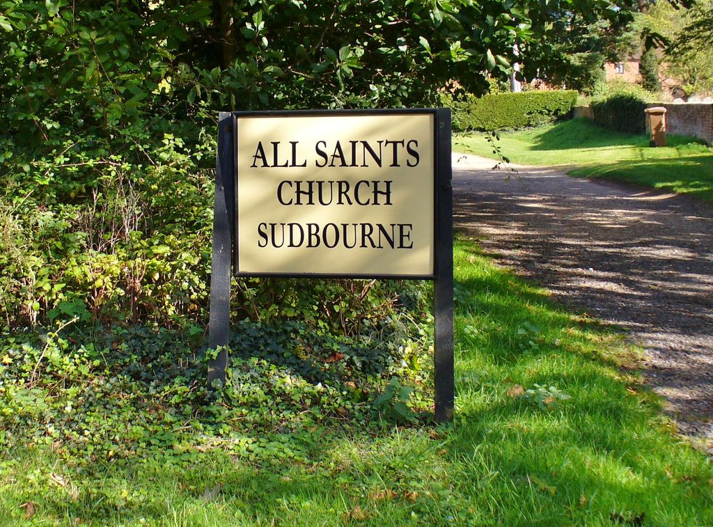
Where is All Saints Churchyard?
All Saints Churchyard is located at Sudbourne, Suffolk Coastal District ,Suffolk ,England.
-
All Saints Churchyard cemetery's updated grave count on graveviews.com?
0 memorials
-
Where are the coordinates of the All Saints Churchyard?
Latitude: 52.1127220
Longitude: 1.5343890
Nearby Cemetories:
1. St Bartholomew's Churchyard
Orford, Suffolk Coastal District, England
Coordinate: 52.0952340, 1.5352670
2. St. Peter's Churchyard
Chillesford, Suffolk Coastal District, England
Coordinate: 52.1169420, 1.4787340
3. St. Botolph's Churchyard
Iken, Suffolk Coastal District, England
Coordinate: 52.1550820, 1.5250830
4. St John the Baptist Churchyard
Butley, Suffolk Coastal District, England
Coordinate: 52.0989210, 1.4647100
5. Butley Priory
Butley, Suffolk Coastal District, England
Coordinate: 52.0910000, 1.4650000
6. St. Peter and St. Paul Churchyard
Aldeburgh, Suffolk Coastal District, England
Coordinate: 52.1549460, 1.5999310
7. Tunstall Baptist Chapel Yard
Tunstall, Suffolk Coastal District, England
Coordinate: 52.1437000, 1.4529690
8. Saint Michael's Churchyard
Tunstall, Suffolk Coastal District, England
Coordinate: 52.1437250, 1.4524320
9. St. Andrew's Churchyard
Boyton, Suffolk Coastal District, England
Coordinate: 52.0711930, 1.4609030
10. St John The Baptist Churchyard
Snape, Suffolk Coastal District, England
Coordinate: 52.1804590, 1.5019170
11. St Peter's Churchyard
Blaxhall, Suffolk Coastal District, England
Coordinate: 52.1604450, 1.4442330
12. St Mary Parish Churchyard
Friston, Suffolk Coastal District, England
Coordinate: 52.1898500, 1.5288200
13. St Andrews Churchyard
Aldringham, Suffolk Coastal District, England
Coordinate: 52.1888450, 1.5877820
14. St Gregory the Great Churchyard
Rendlesham, Suffolk Coastal District, England
Coordinate: 52.1247080, 1.3952270
15. St Mary's Church Burial Ground
Farnham, Suffolk Coastal District, England
Coordinate: 52.1872580, 1.4549173
16. St John the Baptist Churchyard
Campsey Ash, Suffolk Coastal District, England
Coordinate: 52.1520000, 1.4040000
17. St. Lawrence Churchyard
Knodishall, Suffolk Coastal District, England
Coordinate: 52.2024000, 1.5488000
18. St Andrew at Little Glemham
Little Glemham, Suffolk Coastal District, England
Coordinate: 52.1768530, 1.4305400
19. St. Mary Magdalene Church Burial Ground
Sternfield, Suffolk Coastal District, England
Coordinate: 52.2005250, 1.4971480
20. St George's Churchyard
Dittisham, South Hams District, England
Coordinate: 52.1993239, 1.5785005
21. All Saints Churchyard
Hollesley, Suffolk Coastal District, England
Coordinate: 52.0473600, 1.4304300
22. All Saints Church Burial Ground
Eyke, Suffolk Coastal District, England
Coordinate: 52.1156810, 1.3832240
23. Stratford St Andrew Church Burial Ground
Stratford St Andrew, Suffolk Coastal District, England
Coordinate: 52.1892250, 1.4483270
24. Campsey Priory
Campsey Ash, Suffolk Coastal District, England
Coordinate: 52.1396150, 1.3866000