
| Memorials | : | 0 |
| Location | : | Orford, Suffolk Coastal District, England |
| Coordinate | : | 52.0952340, 1.5352670 |
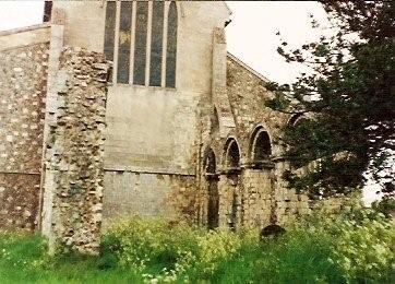
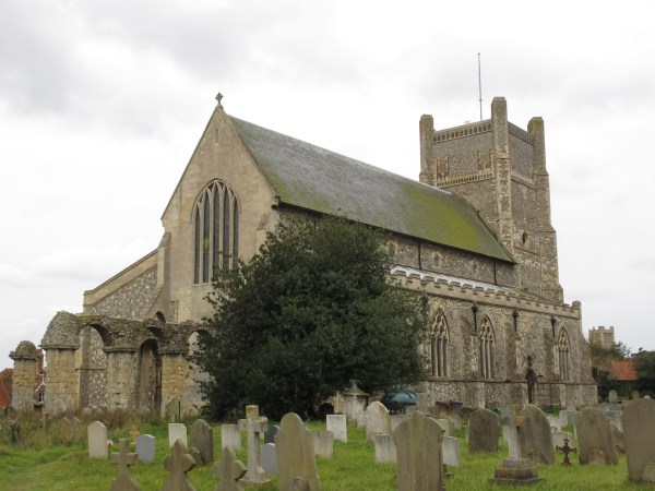
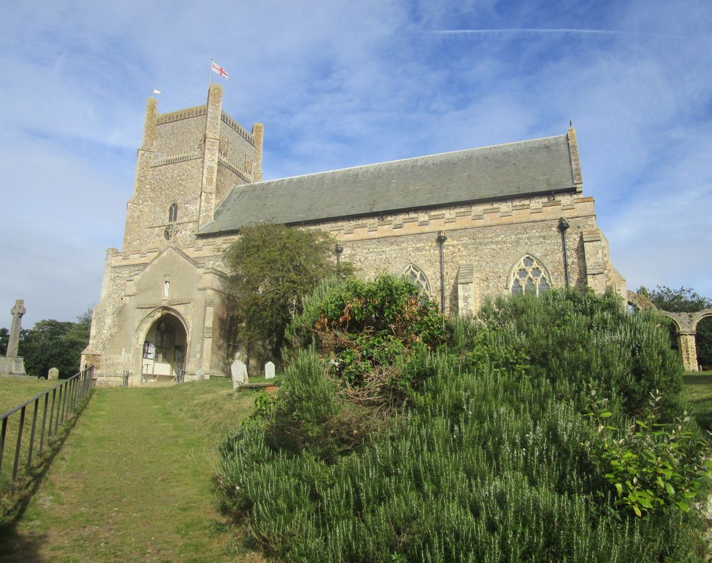
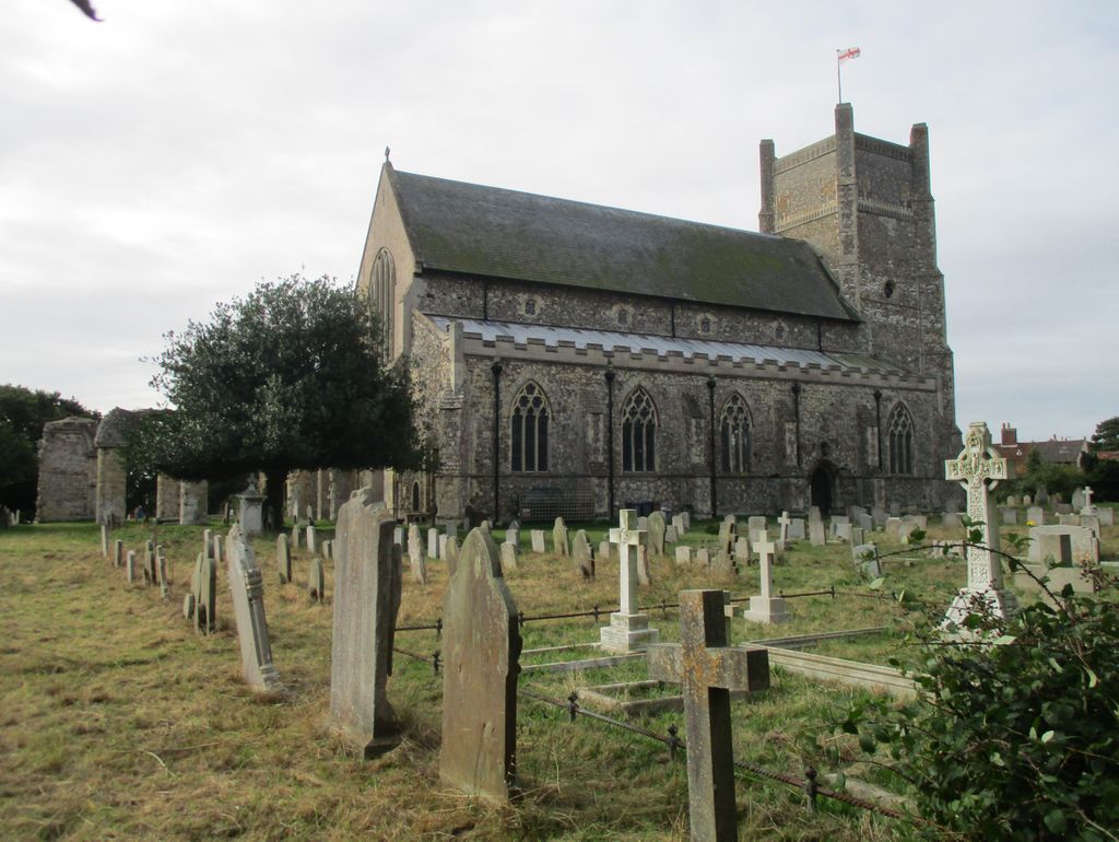
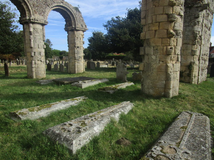
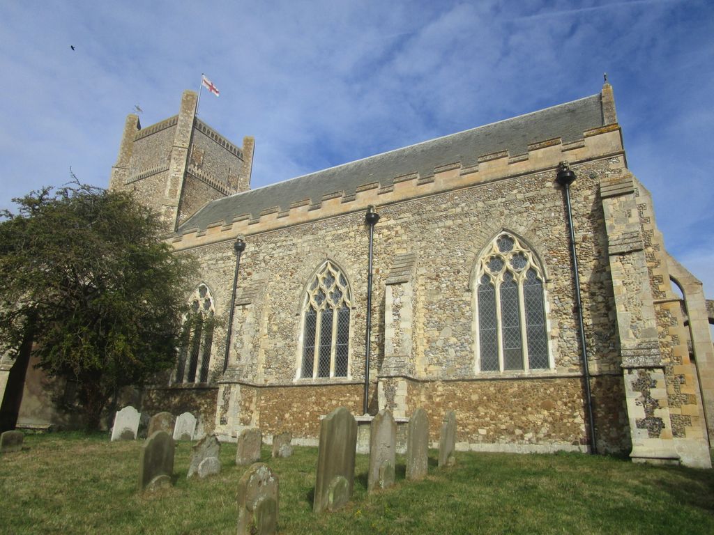
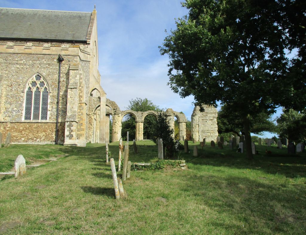
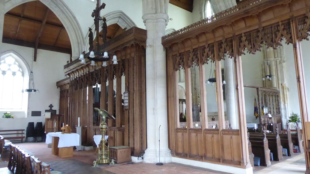
| Description | : | The Church of St Bartholomew is the parish church of the town of Orford, England. A medieval church, dating from the fourteenth century, with reconstructions in the nineteenth and twentieth century. The church comprises a ruined 12th century chancel, begun in about 1166 and abandoned in the 18th century. |
frequently asked questions (FAQ):
-
Where is St Bartholomew's Churchyard?
St Bartholomew's Churchyard is located at Orford, Suffolk Coastal District ,Suffolk ,England.
-
St Bartholomew's Churchyard cemetery's updated grave count on graveviews.com?
0 memorials
-
Where are the coordinates of the St Bartholomew's Churchyard?
Latitude: 52.0952340
Longitude: 1.5352670
Nearby Cemetories:
1. All Saints Churchyard
Sudbourne, Suffolk Coastal District, England
Coordinate: 52.1127220, 1.5343890
2. St. Peter's Churchyard
Chillesford, Suffolk Coastal District, England
Coordinate: 52.1169420, 1.4787340
3. Butley Priory
Butley, Suffolk Coastal District, England
Coordinate: 52.0910000, 1.4650000
4. St John the Baptist Churchyard
Butley, Suffolk Coastal District, England
Coordinate: 52.0989210, 1.4647100
5. St. Andrew's Churchyard
Boyton, Suffolk Coastal District, England
Coordinate: 52.0711930, 1.4609030
6. St. Botolph's Churchyard
Iken, Suffolk Coastal District, England
Coordinate: 52.1550820, 1.5250830
7. Tunstall Baptist Chapel Yard
Tunstall, Suffolk Coastal District, England
Coordinate: 52.1437000, 1.4529690
8. Saint Michael's Churchyard
Tunstall, Suffolk Coastal District, England
Coordinate: 52.1437250, 1.4524320
9. St. Peter and St. Paul Churchyard
Aldeburgh, Suffolk Coastal District, England
Coordinate: 52.1549460, 1.5999310
10. All Saints Churchyard
Hollesley, Suffolk Coastal District, England
Coordinate: 52.0473600, 1.4304300
11. St Peter's Churchyard
Blaxhall, Suffolk Coastal District, England
Coordinate: 52.1604450, 1.4442330
12. St John The Baptist Churchyard
Snape, Suffolk Coastal District, England
Coordinate: 52.1804590, 1.5019170
13. St Gregory the Great Churchyard
Rendlesham, Suffolk Coastal District, England
Coordinate: 52.1247080, 1.3952270
14. St Mary Parish Churchyard
Friston, Suffolk Coastal District, England
Coordinate: 52.1898500, 1.5288200
15. All Saints Church Burial Ground
Eyke, Suffolk Coastal District, England
Coordinate: 52.1156810, 1.3832240
16. St John the Baptist Churchyard
Campsey Ash, Suffolk Coastal District, England
Coordinate: 52.1520000, 1.4040000
17. St Andrews Churchyard
Aldringham, Suffolk Coastal District, England
Coordinate: 52.1888450, 1.5877820
18. Campsey Priory
Campsey Ash, Suffolk Coastal District, England
Coordinate: 52.1396150, 1.3866000
19. St. Margaret's Churchyard
Shottisham, Suffolk Coastal District, England
Coordinate: 52.0520710, 1.3841940
20. St. Andrew's Churchyard
Alderton, Suffolk Coastal District, England
Coordinate: 52.0239900, 1.4136300
21. St Andrew at Little Glemham
Little Glemham, Suffolk Coastal District, England
Coordinate: 52.1768530, 1.4305400
22. St Mary's Church Burial Ground
Farnham, Suffolk Coastal District, England
Coordinate: 52.1872580, 1.4549173
23. St Edmund's Churchyard
Bromeswell, Suffolk Coastal District, England
Coordinate: 52.1064300, 1.3617740
24. St George's Churchyard
Dittisham, South Hams District, England
Coordinate: 52.1993239, 1.5785005