
| Memorials | : | 0 |
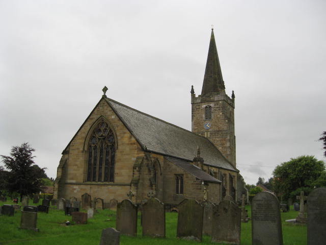
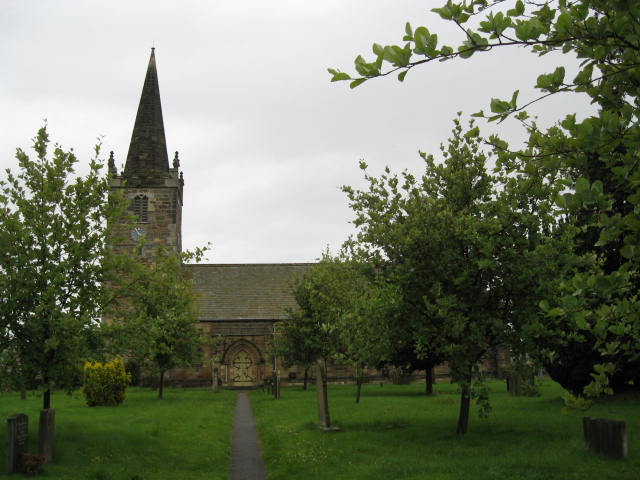
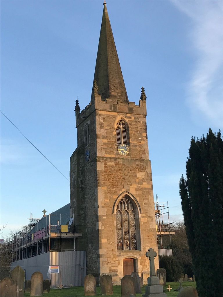
| Location | : | Barmby Moor, East Riding of Yorkshire Unitary Authority, England |
| Coordinate | : | 53.9307670, -0.8189520 |
frequently asked questions (FAQ):
-
Where is St Catherine Churchyard?
St Catherine Churchyard is located at Barmby Moor, East Riding of Yorkshire Unitary Authority ,East Riding of Yorkshire ,England.
-
St Catherine Churchyard cemetery's updated grave count on graveviews.com?
0 memorials
-
Where are the coordinates of the St Catherine Churchyard?
Latitude: 53.9307670
Longitude: -0.8189520
Nearby Cemetories:
1. St Botolph Churchyard
Allerthorpe, East Riding of Yorkshire Unitary Authority, England
Coordinate: 53.9171530, -0.8052080
2. St Martin Churchyard
Fangfoss, East Riding of Yorkshire Unitary Authority, England
Coordinate: 53.9704970, -0.8324690
3. St Martin Churchyard
Hayton, East Riding of Yorkshire Unitary Authority, England
Coordinate: 53.9038010, -0.7518530
4. St Ethelburga Churchyard
Great Givendale, East Riding of Yorkshire Unitary Authority, England
Coordinate: 53.9745030, -0.7617170
5. St Giles Churchyard
Burnby, East Riding of Yorkshire Unitary Authority, England
Coordinate: 53.9067790, -0.7292650
6. St. Edith Churchyard
Bishop Wilton, East Riding of Yorkshire Unitary Authority, England
Coordinate: 53.9862300, -0.7838500
7. St. Mary and St. Everilda Roman Catholic Cemetery
Everingham, East Riding of Yorkshire Unitary Authority, England
Coordinate: 53.8746294, -0.7772709
8. St Mary Churchyard
Full Sutton, East Riding of Yorkshire Unitary Authority, England
Coordinate: 53.9897620, -0.8613700
9. St Everilda Churchyard
Everingham, East Riding of Yorkshire Unitary Authority, England
Coordinate: 53.8707810, -0.7785920
10. Holy Trinity Churchyard
Elvington, York Unitary Authority, England
Coordinate: 53.9186950, -0.9341610
11. St Paul Churchyard
Kexby, York Unitary Authority, England
Coordinate: 53.9505970, -0.9339900
12. All Saints Churchyard
Low Catton, East Riding of Yorkshire Unitary Authority, England
Coordinate: 53.9769280, -0.9268720
13. St Andrew Churchyard
Bugthorpe, East Riding of Yorkshire Unitary Authority, England
Coordinate: 54.0108100, -0.8226900
14. St Peter Churchyard
Harswell, East Riding of Yorkshire Unitary Authority, England
Coordinate: 53.8573320, -0.7556910
15. Quaker Cemetery
East Cottingwith, East Riding of Yorkshire Unitary Authority, England
Coordinate: 53.8746050, -0.9327040
16. St Mary Churchyard
East Cottingwith, East Riding of Yorkshire Unitary Authority, England
Coordinate: 53.8738030, -0.9317490
17. All Saints Churchyard
Londesborough, East Riding of Yorkshire Unitary Authority, England
Coordinate: 53.8973660, -0.6796290
18. St John the Evangelist Churchyard
Buttercrambe, Ryedale District, England
Coordinate: 54.0137300, -0.8812900
19. All Saints Churchyard
Kirby Underdale, East Riding of Yorkshire Unitary Authority, England
Coordinate: 54.0166200, -0.7677100
20. St Helen Churchyard
Wheldrake, York Unitary Authority, England
Coordinate: 53.8965340, -0.9626520
21. St. Mary's Churchyard
Gate Helmsley, Ryedale District, England
Coordinate: 53.9883720, -0.9481980
22. All Saints Churchyard
Holme-on-Spalding-Moor, East Riding of Yorkshire Unitary Authority, England
Coordinate: 53.8401222, -0.7544300
23. St Helen Churchyard
Thorganby, Selby District, England
Coordinate: 53.8666100, -0.9530300
24. Holy Trinity Churchyard
Holtby, York Unitary Authority, England
Coordinate: 53.9792890, -0.9719310