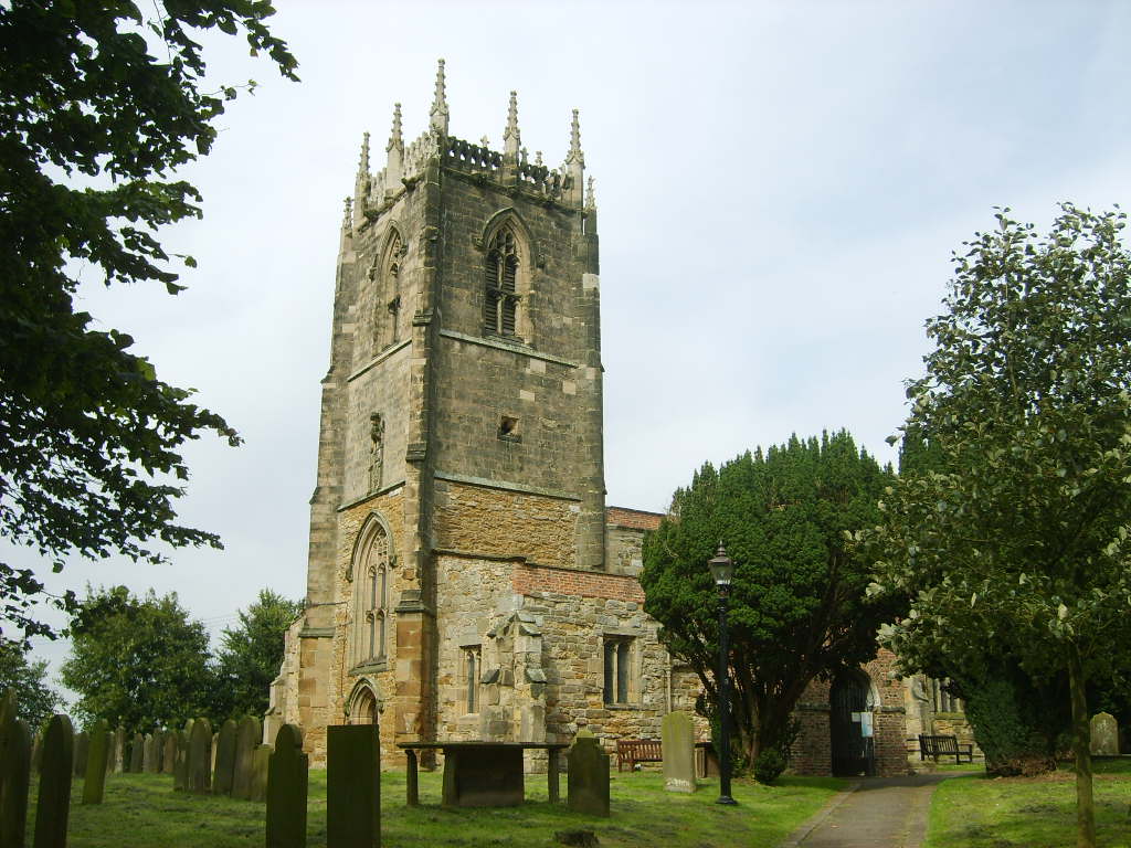
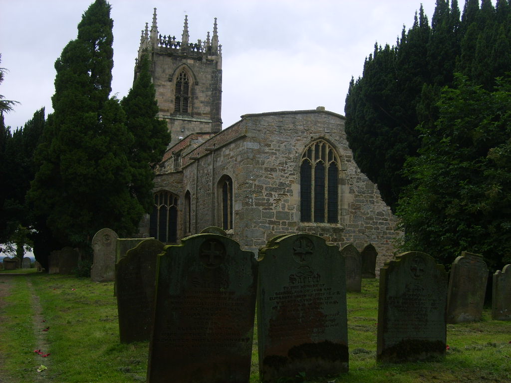
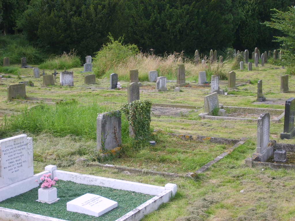
| Memorials | : | 1 |
| Location | : | Holme-on-Spalding-Moor, East Riding of Yorkshire Unitary Authority, England |
| Coordinate | : | 53.8401222, -0.7544300 |
frequently asked questions (FAQ):
-
Where is All Saints Churchyard?
All Saints Churchyard is located at Holme-on-Spalding-Moor, East Riding of Yorkshire Unitary Authority ,East Riding of Yorkshire ,England.
-
All Saints Churchyard cemetery's updated grave count on graveviews.com?
1 memorials
-
Where are the coordinates of the All Saints Churchyard?
Latitude: 53.8401222
Longitude: -0.7544300
Nearby Cemetories:
1. St Peter Churchyard
Harswell, East Riding of Yorkshire Unitary Authority, England
Coordinate: 53.8573320, -0.7556910
2. St Everilda Churchyard
Everingham, East Riding of Yorkshire Unitary Authority, England
Coordinate: 53.8707810, -0.7785920
3. St. Mary and St. Everilda Roman Catholic Cemetery
Everingham, East Riding of Yorkshire Unitary Authority, England
Coordinate: 53.8746294, -0.7772709
4. St Martin Churchyard
Hayton, East Riding of Yorkshire Unitary Authority, England
Coordinate: 53.9038010, -0.7518530
5. St Giles Churchyard
Burnby, East Riding of Yorkshire Unitary Authority, England
Coordinate: 53.9067790, -0.7292650
6. All Saints Churchyard
Londesborough, East Riding of Yorkshire Unitary Authority, England
Coordinate: 53.8973660, -0.6796290
7. All Saints Churchyard
Goodmanham, East Riding of Yorkshire Unitary Authority, England
Coordinate: 53.8768150, -0.6485010
8. St Oswald Churchyard
Hotham, East Riding of Yorkshire Unitary Authority, England
Coordinate: 53.7999020, -0.6434850
9. Eastrington Cemetery
Eastrington, East Riding of Yorkshire Unitary Authority, England
Coordinate: 53.7606920, -0.7922500
10. St Botolph Churchyard
Allerthorpe, East Riding of Yorkshire Unitary Authority, England
Coordinate: 53.9171530, -0.8052080
11. St Michael Churchyard
Eastrington, East Riding of Yorkshire Unitary Authority, England
Coordinate: 53.7599690, -0.7931110
12. St Catherine Churchyard
Barmby Moor, East Riding of Yorkshire Unitary Authority, England
Coordinate: 53.9307670, -0.8189520
13. All Saints Churchyard
Bubwith, East Riding of Yorkshire Unitary Authority, England
Coordinate: 53.8170680, -0.9200130
14. All Saints Churchyard
Aughton, East Riding of Yorkshire Unitary Authority, England
Coordinate: 53.8393490, -0.9352200
15. St Mary and St Lawrence Churchyard
Ellerton, East Riding of Yorkshire Unitary Authority, England
Coordinate: 53.8499000, -0.9347520
16. St Mary Churchyard
East Cottingwith, East Riding of Yorkshire Unitary Authority, England
Coordinate: 53.8738030, -0.9317490
17. Quaker Cemetery
East Cottingwith, East Riding of Yorkshire Unitary Authority, England
Coordinate: 53.8746050, -0.9327040
18. Howden Minster Churchyard
Howden, East Riding of Yorkshire Unitary Authority, England
Coordinate: 53.7449550, -0.8670300
19. St Mary Churchyard
Broomfleet, East Riding of Yorkshire Unitary Authority, England
Coordinate: 53.7338120, -0.6649730
20. Catholic Church of The Sacred Heart
Howden, East Riding of Yorkshire Unitary Authority, England
Coordinate: 53.7428360, -0.8709800
21. St Helen Churchyard
Thorganby, Selby District, England
Coordinate: 53.8666100, -0.9530300
22. Howden Cemetery
Howden, East Riding of Yorkshire Unitary Authority, England
Coordinate: 53.7438890, -0.8770090
23. St Peter Churchyard and Church Cemetery
Laxton, East Riding of Yorkshire Unitary Authority, England
Coordinate: 53.7196250, -0.8000900
24. St Anne Churchyard
Ellerker, East Riding of Yorkshire Unitary Authority, England
Coordinate: 53.7527200, -0.6034700


