
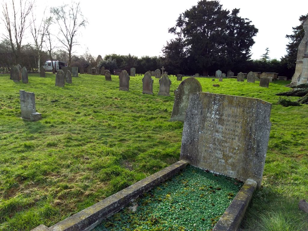
| Memorials | : | 167 |
| Location | : | Barlings, West Lindsey District, England |
| Coordinate | : | 53.2600000, -0.3890000 |
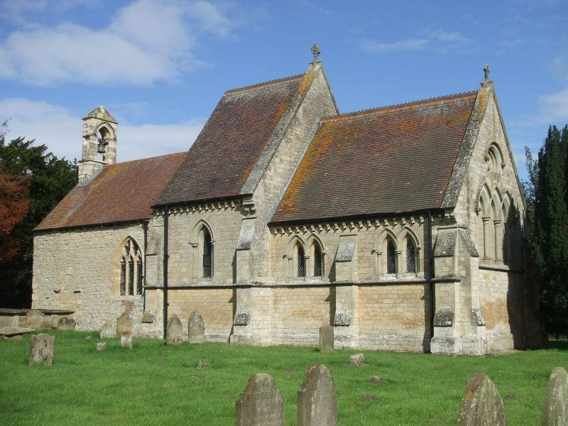
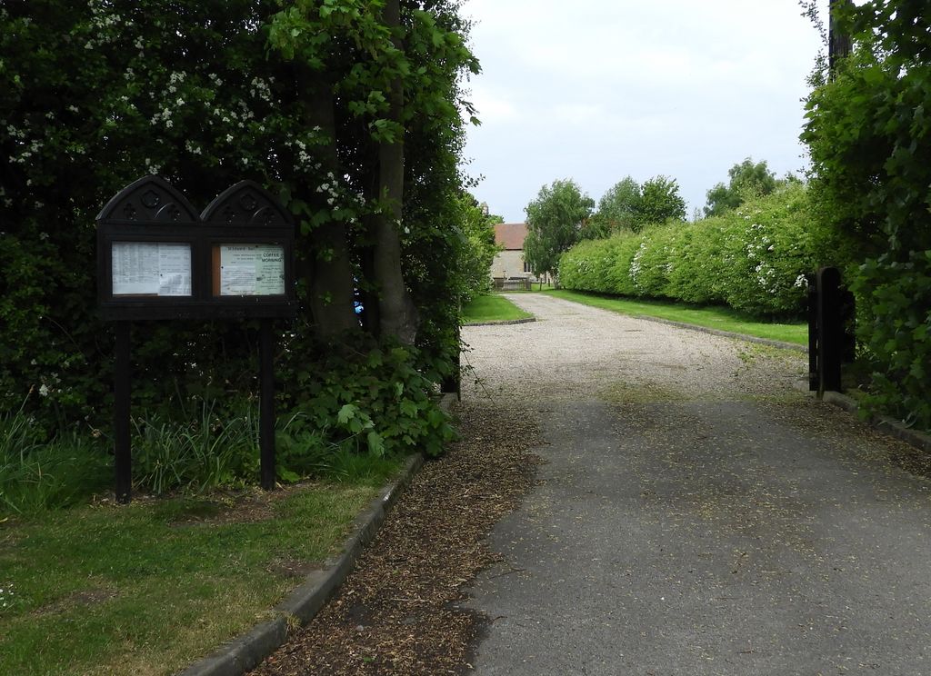
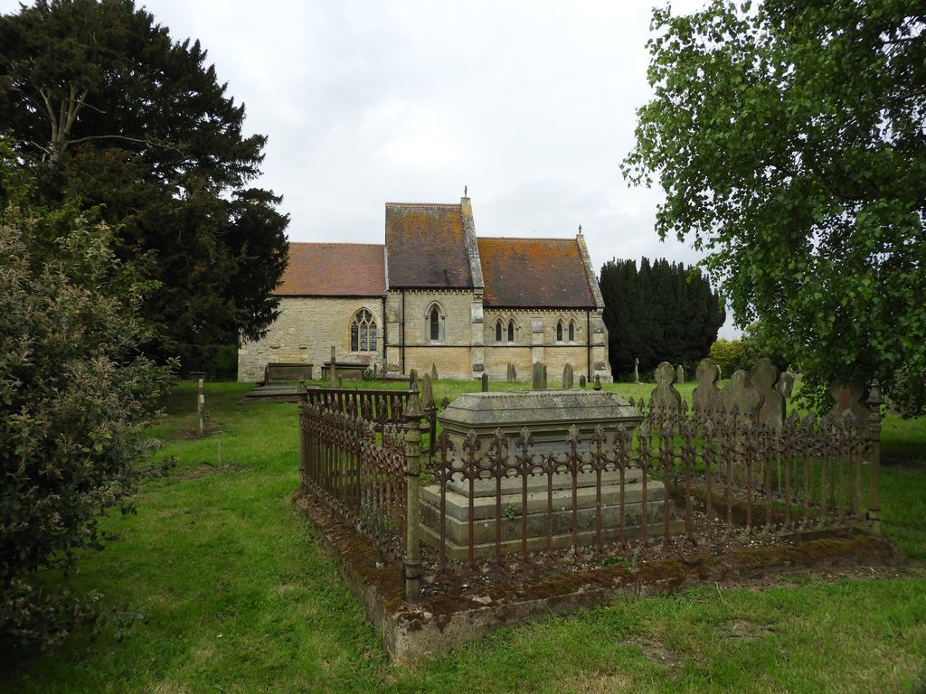
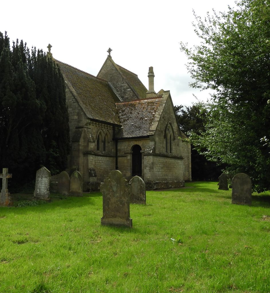
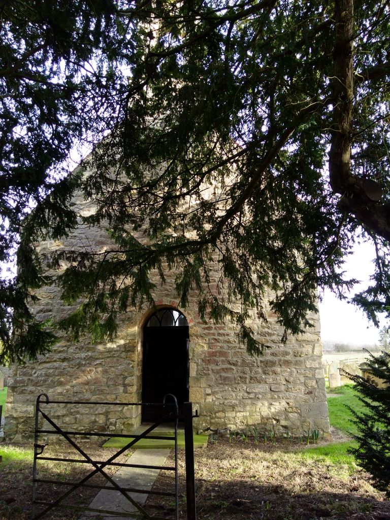
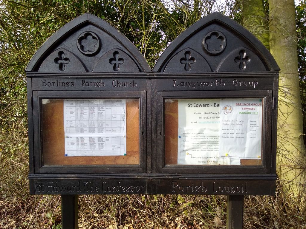
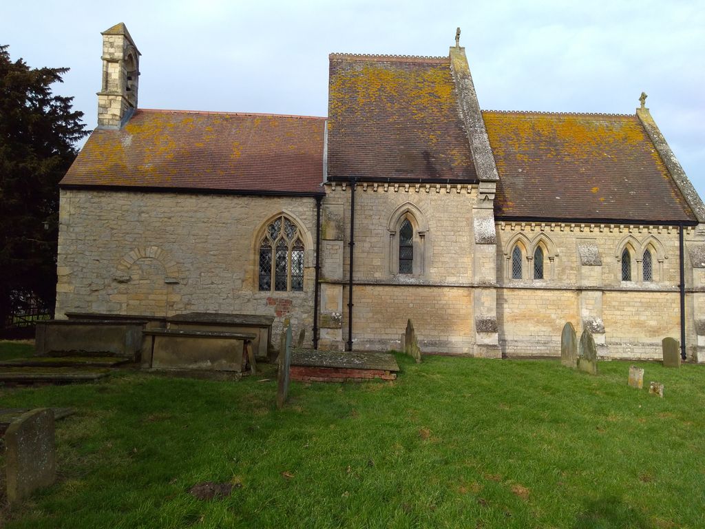
| Description | : | Also known as Edward the Confessor Church Location: Barlings Lane, Barlings, Lincolnshire LN3 5DG Locality: Barlings Local Authority: West Lindsey District Council County: Lincolnshire Country: England Postcode: LN3 5DG |
frequently asked questions (FAQ):
-
Where is St. Edward's Churchyard?
St. Edward's Churchyard is located at Barlings, West Lindsey District ,Lincolnshire , LN3 5DGEngland.
-
St. Edward's Churchyard cemetery's updated grave count on graveviews.com?
167 memorials
-
Where are the coordinates of the St. Edward's Churchyard?
Latitude: 53.2600000
Longitude: -0.3890000
Nearby Cemetories:
1. Barlings Cemetery
Langworth, West Lindsey District, England
Coordinate: 53.2728290, -0.4041870
2. St. John the Baptist Churchyard
Langworth, West Lindsey District, England
Coordinate: 53.2843900, -0.4086800
3. St. Andrew's Churchyard
Apley, West Lindsey District, England
Coordinate: 53.2613400, -0.3390200
4. St. Peter and St. Paul Churchyard
Reepham, West Lindsey District, England
Coordinate: 53.2518050, -0.4450120
5. St Andrew's Churchyard
Bardney, West Lindsey District, England
Coordinate: 53.2442000, -0.3351800
6. St. Clement's Churchyard
Fiskerton, West Lindsey District, England
Coordinate: 53.2345500, -0.4315200
7. Hawthorn Road Cemetery
Reepham, West Lindsey District, England
Coordinate: 53.2489252, -0.4513445
8. St. Edward the Confessor Churchyard
Sudbrooke, West Lindsey District, England
Coordinate: 53.2717840, -0.4553930
9. Scothern Cemetery
Scothern, West Lindsey District, England
Coordinate: 53.2798200, -0.4515500
10. St. Germain Churchyard
Scothern, West Lindsey District, England
Coordinate: 53.2835790, -0.4513370
11. St. Peter & St. Paul Churchyard
Cherry Willingham, West Lindsey District, England
Coordinate: 53.2387000, -0.4553800
12. St. Oswald's Churchyard
Rand, West Lindsey District, England
Coordinate: 53.2970600, -0.3404500
13. Bardney Abbey
Bardney, West Lindsey District, England
Coordinate: 53.2204000, -0.3336000
14. All Saints Churchyard
Snelland, West Lindsey District, England
Coordinate: 53.3120800, -0.3812000
15. St Chad Church Extension
Dunholme, West Lindsey District, England
Coordinate: 53.3008900, -0.4621500
16. Nettleham Cemetery
Nettleham, West Lindsey District, England
Coordinate: 53.2645600, -0.4904000
17. All Saints Churchyard
Nettleham, West Lindsey District, England
Coordinate: 53.2652940, -0.4906780
18. St. Chad Churchyard
Dunholme, West Lindsey District, England
Coordinate: 53.3018330, -0.4638100
19. St. Lawrence Churchyard
Bardney, West Lindsey District, England
Coordinate: 53.2095580, -0.3254380
20. All Saints Churchyard
Greetwell, West Lindsey District, England
Coordinate: 53.2312000, -0.4831000
21. St. John Churchyard
Washingborough, North Kesteven District, England
Coordinate: 53.2229620, -0.4758650
22. Bardney Cemetery
Bardney, West Lindsey District, England
Coordinate: 53.2078350, -0.3208830
23. All Saints Churchyard
Holton-cum-Beckering, West Lindsey District, England
Coordinate: 53.3167370, -0.3257753
24. St. Giles' Churchyard
Langton by Wragby, East Lindsey District, England
Coordinate: 53.2764400, -0.2777700