| Memorials | : | 8 |
| Location | : | Great Smeaton, Hambleton District, England |
| Coordinate | : | 54.4343000, -1.4647000 |
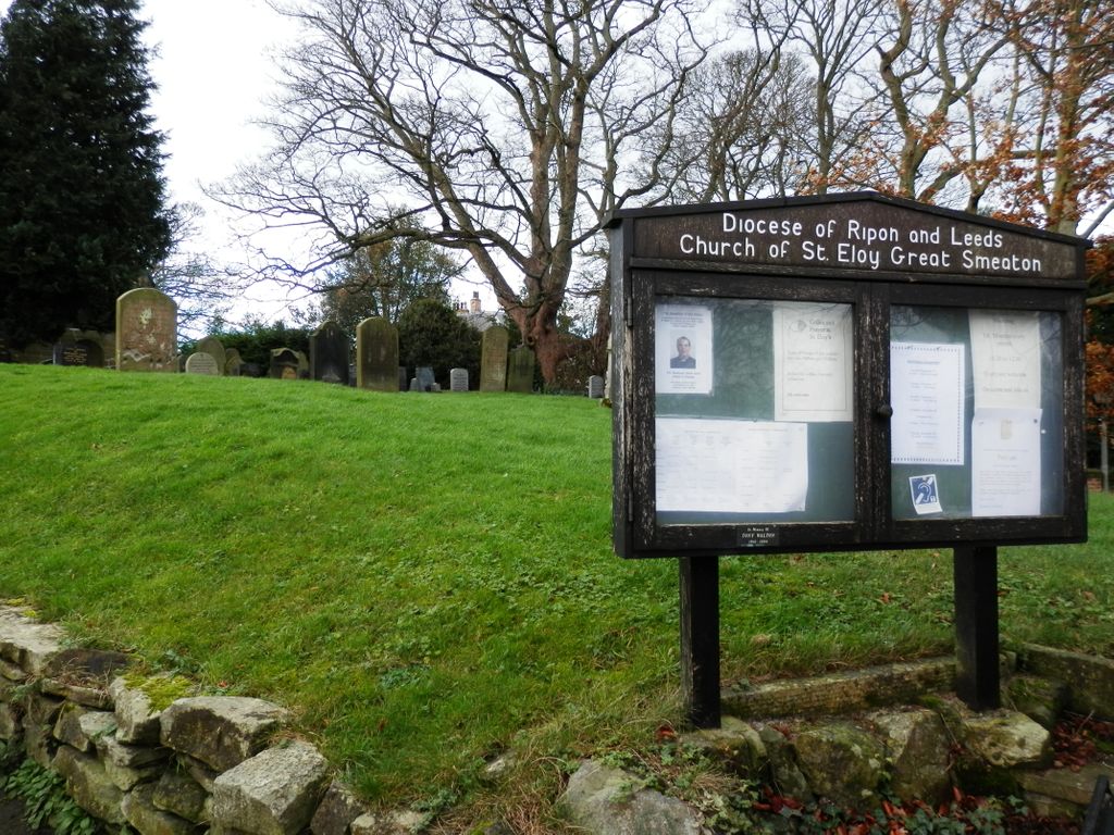
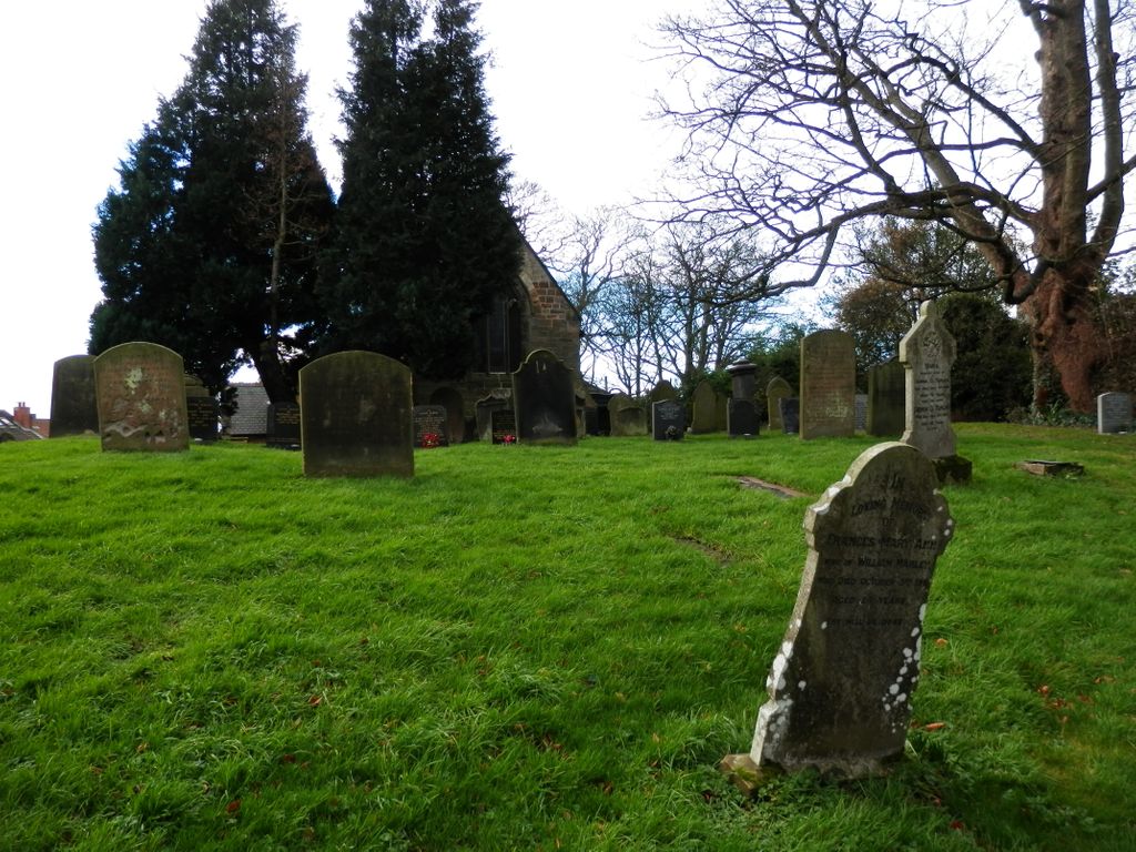
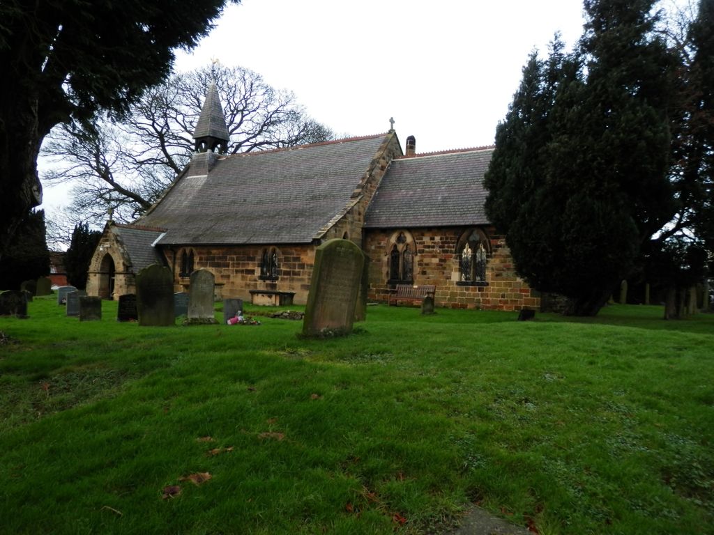
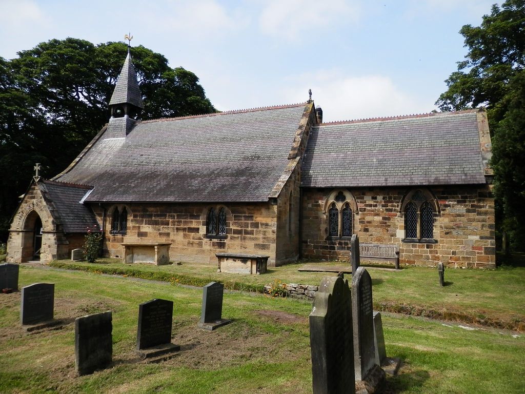
| Description | : | The church of St Eloy is situated in the centre of the attractive village of Great Smeaton which itself lies almost halfway between Darlington to the north and Northallerton to the south. The main road is the A167 which runs through the middle of the village skirting the south boundary wall of the church. The earliest parts of the church are fourteenth century, including the nave arcade. The building was thoroughly renovated in 1863, and it seems only then to have been dedicated to St Eloy, the patron saint of smiths. The dedication is common in France, but this may... Read More |
frequently asked questions (FAQ):
-
Where is St Eloy Churchyard?
St Eloy Churchyard is located at Great Smeaton, Hambleton District ,North Yorkshire ,England.
-
St Eloy Churchyard cemetery's updated grave count on graveviews.com?
8 memorials
-
Where are the coordinates of the St Eloy Churchyard?
Latitude: 54.4343000
Longitude: -1.4647000
Nearby Cemetories:
1. St. Peter's Churchyard
Birkby, Hambleton District, England
Coordinate: 54.4157560, -1.4901840
2. All Saints Churchyard
Sockburn, Darlington Unitary Authority, England
Coordinate: 54.4582000, -1.4619000
3. All Saints Churchyard
Girsby, Hambleton District, England
Coordinate: 54.4691000, -1.4554000
4. St Mary Churchyard
Appleton Wiske, Hambleton District, England
Coordinate: 54.4360250, -1.4003270
5. All Saints Churchyard
Deighton, Hambleton District, England
Coordinate: 54.4099130, -1.4141500
6. St. Lawrence Churchyard
Hutton Bonville, Hambleton District, England
Coordinate: 54.3958000, -1.4830000
7. St Mary Churchyard
East Cowton, Hambleton District, England
Coordinate: 54.4291100, -1.5370200
8. St Mary the Virgin Churchyard
Eryholme, Richmondshire District, England
Coordinate: 54.4754000, -1.5067000
9. St Leonard Churchyard
Welbury, Hambleton District, England
Coordinate: 54.4138000, -1.3855600
10. St. Mary's Churchyard
South Cowton, Hambleton District, England
Coordinate: 54.4187600, -1.5501800
11. Neasham Priory
Sockburn, Darlington Unitary Authority, England
Coordinate: 54.4851000, -1.5035000
12. Danby Wiske Parish Churchyard
Danby Wiske, Hambleton District, England
Coordinate: 54.3793800, -1.4813060
13. St John Churchyard
High Worsall, Hambleton District, England
Coordinate: 54.4786500, -1.4059590
14. St Oswald Churchyard
West Rounton, Hambleton District, England
Coordinate: 54.4243670, -1.3638680
15. Saint John the Baptist Churchyard
Low Dinsdale, Darlington Unitary Authority, England
Coordinate: 54.4950000, -1.4660000
16. All Saints Churchyard
Hurworth, Darlington Unitary Authority, England
Coordinate: 54.4869900, -1.5285200
17. All Saints Churchyard
Low Worsall, Hambleton District, England
Coordinate: 54.4824880, -1.3898180
18. St. Lawrence Churchyard
East Rounton, Hambleton District, England
Coordinate: 54.4241000, -1.3510700
19. Saint George's Churchyard Low Middleton
Middleton St George, Darlington Unitary Authority, England
Coordinate: 54.4994000, -1.4366000
20. Saint Laurence's Churchyard
Middleton St George, Darlington Unitary Authority, England
Coordinate: 54.5054700, -1.4625400
21. St Peter Churchyard
Croft-on-Tees, Richmondshire District, England
Coordinate: 54.4830000, -1.5556200
22. St. Thomas Churchyard
Brompton, Hambleton District, England
Coordinate: 54.3613700, -1.4263900
23. Brompton Cemetery
Northallerton, Hambleton District, England
Coordinate: 54.3614100, -1.4140900
24. St. Oswald Churchyard
East Harlsey, Hambleton District, England
Coordinate: 54.3914290, -1.3451990


