
| Memorials | : | 0 |
| Location | : | Codnor, Amber Valley Borough, England |
| Coordinate | : | 53.0343350, -1.3772720 |
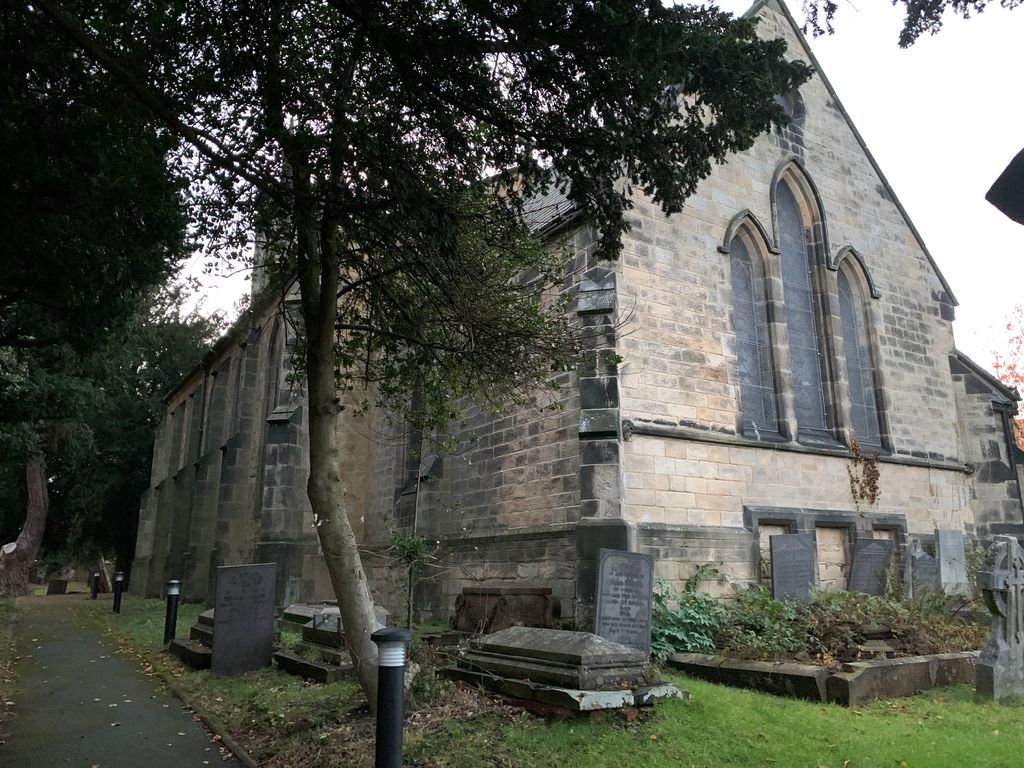
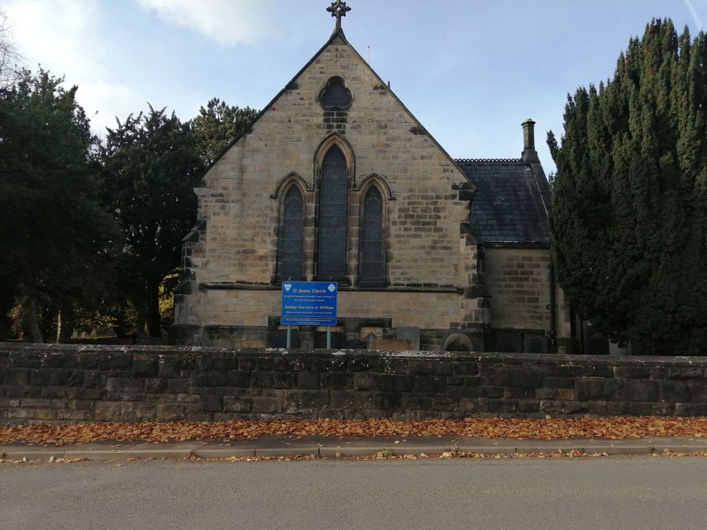
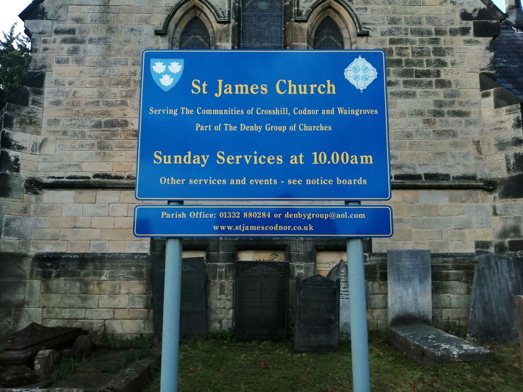
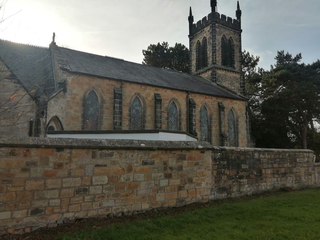
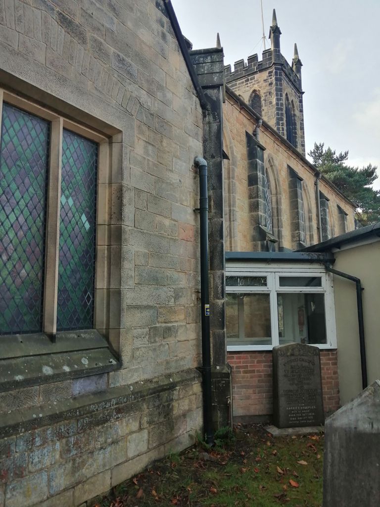
| Description | : | St. James' Church was built in 1844 to serve the combined Parish of Codnor and Loscoe, which was also created in 1844. In 1927 Codnor became a separate Parish. The Churchyard cemetery is located to one side of St. James Church and is separated from Crosshill Cemetery by a low wall. Burial records for St. James' Churchyard are maintained by the Parish. |
frequently asked questions (FAQ):
-
Where is St. James' Churchyard?
St. James' Churchyard is located at Codnor, Amber Valley Borough ,Derbyshire ,England.
-
St. James' Churchyard cemetery's updated grave count on graveviews.com?
0 memorials
-
Where are the coordinates of the St. James' Churchyard?
Latitude: 53.0343350
Longitude: -1.3772720
Nearby Cemetories:
1. Crosshill Cemetery
Codnor, Amber Valley Borough, England
Coordinate: 53.0329710, -1.3764590
2. Ripley Cemetery
Ripley, Amber Valley Borough, England
Coordinate: 53.0457260, -1.4038020
3. St John's Church, Aldercar
Amber Valley Borough, England
Coordinate: 53.0266800, -1.3360000
4. St Mary the Virgin Churchyard
Denby, Amber Valley Borough, England
Coordinate: 53.0142300, -1.4065600
5. Marlpool Municipal Cemetery
Heanor, Amber Valley Borough, England
Coordinate: 53.0082110, -1.3490550
6. Christ Church Churchyard
Ironville, Amber Valley Borough, England
Coordinate: 53.0628250, -1.3508600
7. St. Mary's Churchyard
Jacksdale, Ashfield District, England
Coordinate: 53.0577660, -1.3326300
8. St. James's Churchyard
Riddings, Amber Valley Borough, England
Coordinate: 53.0702500, -1.3618710
9. Smalley Baptist Churchyard
Smalley, Amber Valley Borough, England
Coordinate: 52.9968520, -1.3947580
10. Leabrooks Cemetery
Leabrooks, Amber Valley Borough, England
Coordinate: 53.0770590, -1.3757380
11. St. John the Baptist Churchyard
Smalley, Amber Valley Borough, England
Coordinate: 52.9930300, -1.3961360
12. St. Matthew's Churchyard
Pentrich, Amber Valley Borough, England
Coordinate: 53.0690080, -1.4201570
13. St. Mary's Churchyard
Eastwood, Broxtowe Borough, England
Coordinate: 53.0166227, -1.3084371
14. St. Thomas' Churchyard
Somercotes, Amber Valley Borough, England
Coordinate: 53.0798171, -1.3687464
15. St. Luke's Churchyard
Heage, Amber Valley Borough, England
Coordinate: 53.0516000, -1.4500700
16. St Luke Churchyard
Heage, Amber Valley Borough, England
Coordinate: 53.0516130, -1.4500690
17. St Luke's Heage
Belper, Amber Valley Borough, England
Coordinate: 53.0516040, -1.4501580
18. Eastwood Cemetery
Eastwood, Broxtowe Borough, England
Coordinate: 53.0115814, -1.3073300
19. St. Clement's Churchyard
Horsley, Amber Valley Borough, England
Coordinate: 52.9965090, -1.4420520
20. Holy Trinity Churchyard
Mapperley, Amber Valley Borough, England
Coordinate: 52.9818800, -1.3536800
21. All Saints Churchyard
Stanley Common, Erewash Borough, England
Coordinate: 52.9770772, -1.3834721
22. St. John's Chapel Cemetery
Belper, Amber Valley Borough, England
Coordinate: 53.0239651, -1.4759286
23. Wingfield Park
South Wingfield, Amber Valley Borough, England
Coordinate: 53.0800910, -1.4450070
24. Belper Cemetery
Belper, Amber Valley Borough, England
Coordinate: 53.0370590, -1.4793930