
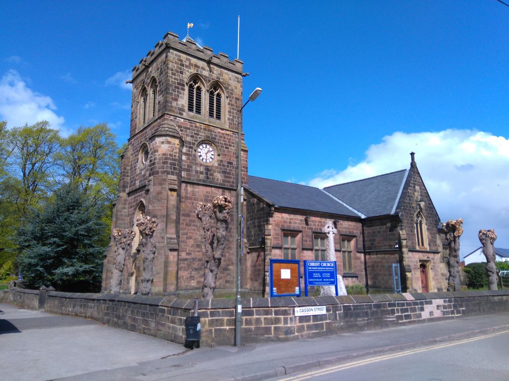
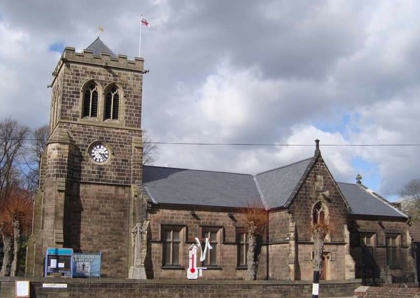
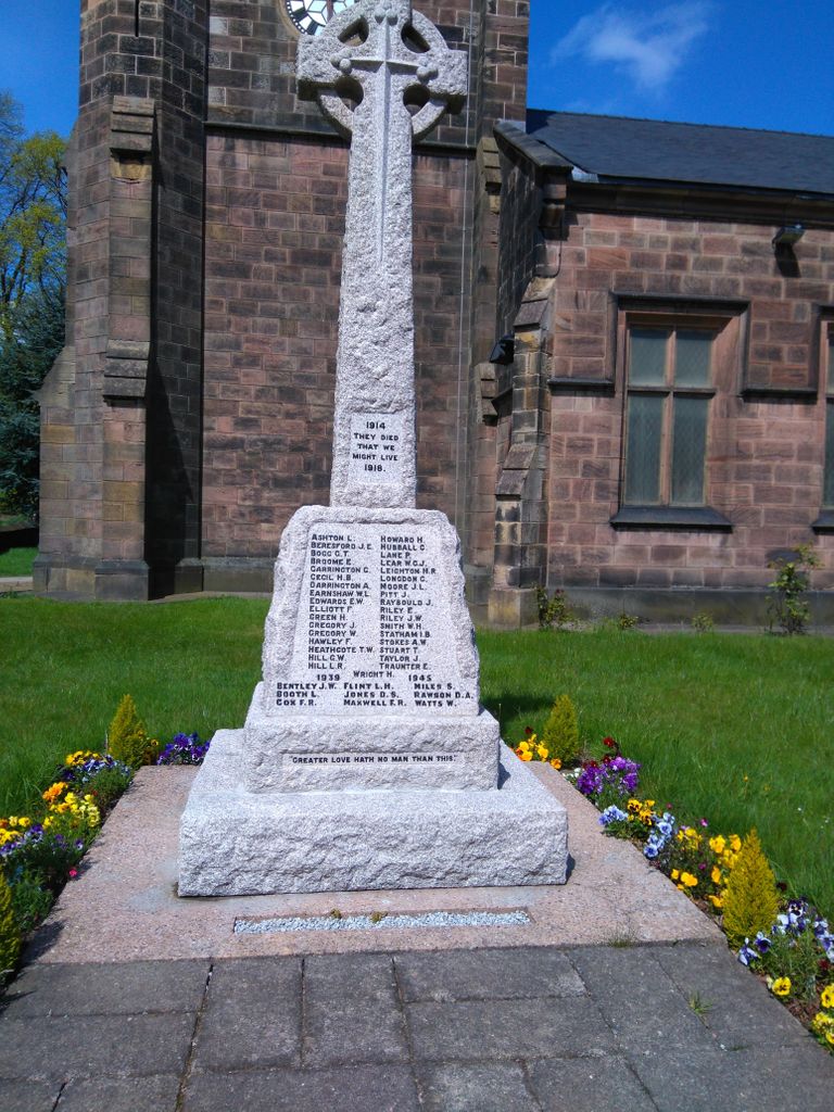
| Memorials | : | 0 |
| Location | : | Ironville, Amber Valley Borough, England |
| Coordinate | : | 53.0628250, -1.3508600 |
frequently asked questions (FAQ):
-
Where is Christ Church Churchyard?
Christ Church Churchyard is located at Ironville, Amber Valley Borough ,Derbyshire ,England.
-
Christ Church Churchyard cemetery's updated grave count on graveviews.com?
0 memorials
-
Where are the coordinates of the Christ Church Churchyard?
Latitude: 53.0628250
Longitude: -1.3508600
Nearby Cemetories:
1. St. James's Churchyard
Riddings, Amber Valley Borough, England
Coordinate: 53.0702500, -1.3618710
2. St. Mary's Churchyard
Jacksdale, Ashfield District, England
Coordinate: 53.0577660, -1.3326300
3. St. Thomas' Churchyard
Somercotes, Amber Valley Borough, England
Coordinate: 53.0798171, -1.3687464
4. Leabrooks Cemetery
Leabrooks, Amber Valley Borough, England
Coordinate: 53.0770590, -1.3757380
5. St. Helen's Churchyard
Pinxton, Bolsover District, England
Coordinate: 53.0904510, -1.3243570
6. St. James' Churchyard
Codnor, Amber Valley Borough, England
Coordinate: 53.0343350, -1.3772720
7. Crosshill Cemetery
Codnor, Amber Valley Borough, England
Coordinate: 53.0329710, -1.3764590
8. Ripley Cemetery
Ripley, Amber Valley Borough, England
Coordinate: 53.0457260, -1.4038020
9. St John's Church, Aldercar
Amber Valley Borough, England
Coordinate: 53.0266800, -1.3360000
10. St. Matthew's Churchyard
Pentrich, Amber Valley Borough, England
Coordinate: 53.0690080, -1.4201570
11. Alfreton Cemetery
Alfreton, Amber Valley Borough, England
Coordinate: 53.0998050, -1.3853550
12. St. Martin's Churchyard
Alfreton, Amber Valley Borough, England
Coordinate: 53.0986500, -1.3931700
13. St. Michael and All Angels Churchyard
South Normanton, Bolsover District, England
Coordinate: 53.1091020, -1.3411800
14. St. Mary's Churchyard
Eastwood, Broxtowe Borough, England
Coordinate: 53.0166227, -1.3084371
15. Marlpool Municipal Cemetery
Heanor, Amber Valley Borough, England
Coordinate: 53.0082110, -1.3490550
16. Eastwood Cemetery
Eastwood, Broxtowe Borough, England
Coordinate: 53.0115814, -1.3073300
17. All Saints Churchyard
South Wingfield, Amber Valley Borough, England
Coordinate: 53.0977640, -1.4291210
18. St. Werburgh's Churchyard
Blackwell, Bolsover District, England
Coordinate: 53.1209850, -1.3380680
19. St Mary the Virgin Churchyard
Denby, Amber Valley Borough, England
Coordinate: 53.0142300, -1.4065600
20. Wingfield Park
South Wingfield, Amber Valley Borough, England
Coordinate: 53.0800910, -1.4450070
21. St. Wilfrid's Churchyard Extension
Kirkby-in-Ashfield, Ashfield District, England
Coordinate: 53.0975000, -1.2693400
22. All Saints Churchyard
Annesley, Ashfield District, England
Coordinate: 53.0662300, -1.2501190
23. St Luke Churchyard
Heage, Amber Valley Borough, England
Coordinate: 53.0516130, -1.4500690
24. St. Luke's Churchyard
Heage, Amber Valley Borough, England
Coordinate: 53.0516000, -1.4500700