
| Memorials | : | 48 |
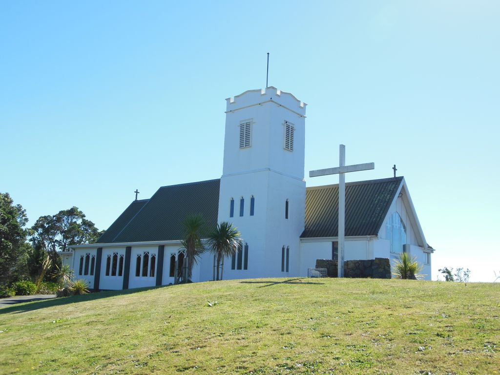
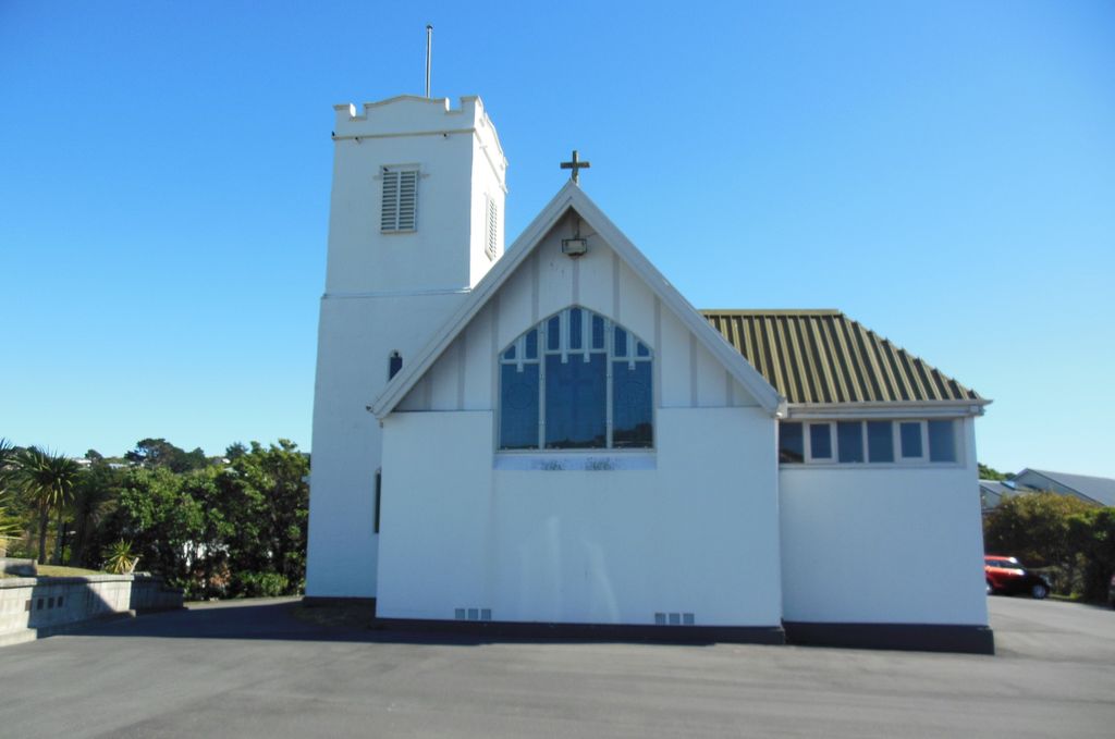
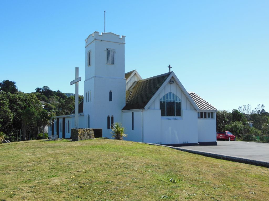
| Location | : | Johnsonville, Wellington City, New Zealand |
| Coordinate | : | -41.2201300, 174.8076800 |
| Description | : | First church built in 1847 and burnt down in 1855. Second church built in 1856 and burnt down in 1860. Third church built in 1864 and burnt down in 1882 Forth church built in 1883 and removed in 1921. Fifth church built in 1922 to present. By 1961 the churchyard cemetery had fallen into disrepair and a decision was made to close the cemetery. Efforts were made to contact families of the interned. On the 13th November 1964 by act of parliament, it was granted that the church could go ahead and start work removing headstones and turning the area into... Read More |
frequently asked questions (FAQ):
-
Where is St. John's Anglican Churchyard Cemetery?
St. John's Anglican Churchyard Cemetery is located at Bassett Road Johnsonville, Wellington City ,Wellington , 6037New Zealand.
-
St. John's Anglican Churchyard Cemetery cemetery's updated grave count on graveviews.com?
48 memorials
-
Where are the coordinates of the St. John's Anglican Churchyard Cemetery?
Latitude: -41.2201300
Longitude: 174.8076800
Nearby Cemetories:
1. Johnsonville Methodist Cemetery
Wellington, Wellington City, New Zealand
Coordinate: -41.2229000, 174.8083500
2. Holy Trinity Cemetery
Ohariu, Wellington City, New Zealand
Coordinate: -41.2000860, 174.7793400
3. Te Puni Urupā
Petone, Lower Hutt City, New Zealand
Coordinate: -41.2254898, 174.8686975
4. Korokoro Catholic Cemetery
Lower Hutt, Lower Hutt City, New Zealand
Coordinate: -41.2210110, 174.8702590
5. Somes Island
Wellington, Wellington City, New Zealand
Coordinate: -41.2548630, 174.8650830
6. Grasslees Reserve
Tawa, Wellington City, New Zealand
Coordinate: -41.1647415, 174.8284302
7. Tawa Flat Cemetery
Tawa, Wellington City, New Zealand
Coordinate: -41.1580600, 174.8281800
8. Bolton Street Cemetery
Wellington, Wellington City, New Zealand
Coordinate: -41.2786810, 174.7727660
9. Massey Memorial
Wellington, Wellington City, New Zealand
Coordinate: -41.2850700, 174.8259900
10. Bridge Street Cemetery
Lower Hutt, Lower Hutt City, New Zealand
Coordinate: -41.2117740, 174.8969660
11. St. James Churchyard
Lower Hutt, Lower Hutt City, New Zealand
Coordinate: -41.2128840, 174.9003910
12. Karori Cemetery and Crematorium
Wellington, Wellington City, New Zealand
Coordinate: -41.2804030, 174.7512000
13. Mount Street Cemetery
Wellington, Wellington City, New Zealand
Coordinate: -41.2888040, 174.7713370
14. Owhiti Urupā
Seaview, Lower Hutt City, New Zealand
Coordinate: -41.2358800, 174.9044500
15. Saint Mary's Anglican Churchyard
Wellington, Wellington City, New Zealand
Coordinate: -41.2826680, 174.7438880
16. Porirua Cemetery
Porirua, Porirua City, New Zealand
Coordinate: -41.1453640, 174.8420300
17. New Zealand National War Memorial
Wellington, Wellington City, New Zealand
Coordinate: -41.2990000, 174.7771620
18. Boulcott Farm Cemetery
Lower Hutt, Lower Hutt City, New Zealand
Coordinate: -41.2030590, 174.9272750
19. St. Matthias Anglican Church Cemetery
Makara, Wellington City, New Zealand
Coordinate: -41.2694440, 174.7047270
20. Ngati Toa Street Urupā
Takapuwahia, Porirua City, New Zealand
Coordinate: -41.1264070, 174.8344310
21. Makara Cemetery
Wellington, Wellington City, New Zealand
Coordinate: -41.2769430, 174.7016600
22. Truby King House and Gardens
Melrose, Wellington City, New Zealand
Coordinate: -41.3201760, 174.7889800
23. Takapu Urupā
Takapuwahia, Porirua City, New Zealand
Coordinate: -41.1203960, 174.8330360
24. Mataiwhetu St Urupā
Takapuwahia, Porirua City, New Zealand
Coordinate: -41.1208070, 174.8364500