
| Memorials | : | 0 |
| Location | : | Hope, Tasman District, New Zealand |
| Coordinate | : | -41.3496940, 173.1488400 |
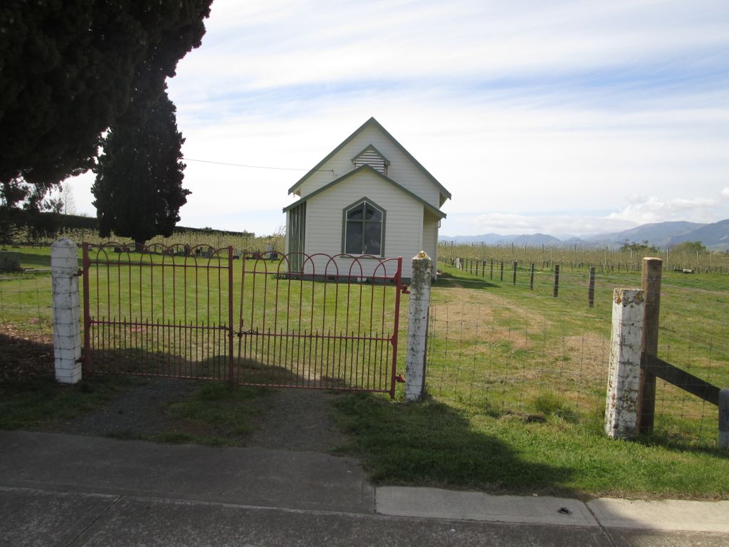
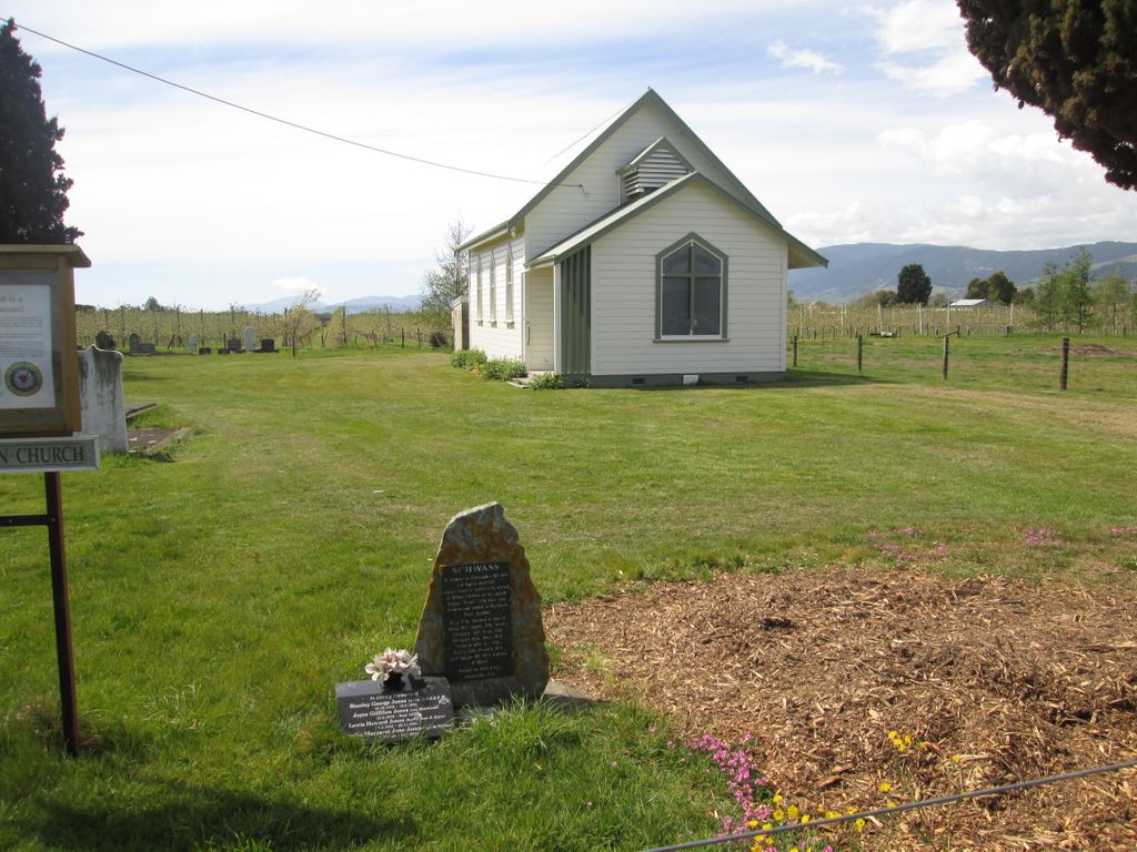
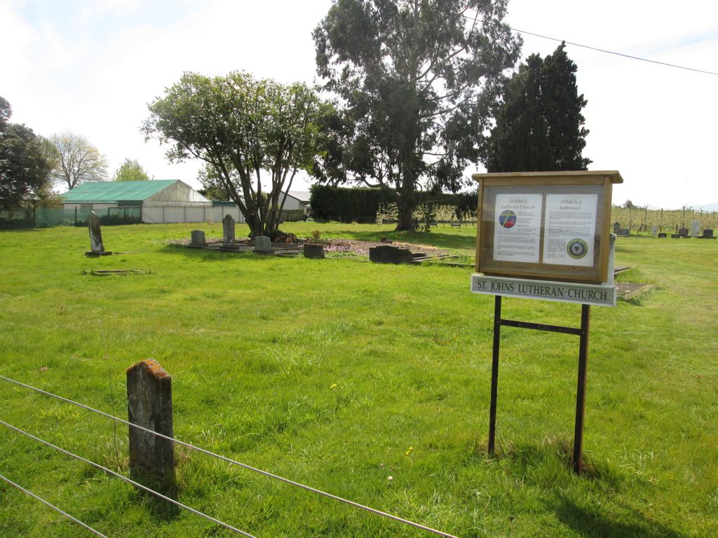
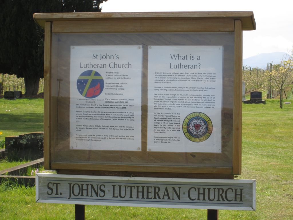
| Description | : | Hope was founded in 1844 by German settlers from Hamburg and was originally named Ranzau. The town has retained its links with its German past, you can still see Ranzau School built in 1848 and St John’s Lutheran Church built in 1849 on Ranzau Road which has a graveyard with the headstones of some of the early immigrants inscribed in German. There is also a two-storeyed cob house built in 1863 further along the road. |
frequently asked questions (FAQ):
-
Where is St John's Lutheran Churchyard?
St John's Lutheran Churchyard is located at 125 Ranzau Road Hope, Tasman District ,Tasman , 7020New Zealand.
-
St John's Lutheran Churchyard cemetery's updated grave count on graveviews.com?
0 memorials
-
Where are the coordinates of the St John's Lutheran Churchyard?
Latitude: -41.3496940
Longitude: 173.1488400
Nearby Cemetories:
1. Pioneer Family Grave
Hope, Tasman District, New Zealand
Coordinate: -41.3589679, 173.1671130
2. Richmond Cemetery
Richmond, Tasman District, New Zealand
Coordinate: -41.3485780, 173.1782300
3. Hope Gardens of Remembrance and Crematorium
Hope, Tasman District, New Zealand
Coordinate: -41.3781226, 173.1329303
4. Saint Alban's Appleby Churchyard
Appleby, Tasman District, New Zealand
Coordinate: -41.3173900, 173.1370900
5. St Michael's Churchyard
Brightwater, Tasman District, New Zealand
Coordinate: -41.3383330, 173.1060180
6. Waimea West Cemetery
Brightwater, Tasman District, New Zealand
Coordinate: -41.3364880, 173.1062950
7. Saint Pauls Churchyard
Brightwater, Tasman District, New Zealand
Coordinate: -41.3705220, 173.1032750
8. Saint Peter & Paul Catholic Churchyard
Appleby, Tasman District, New Zealand
Coordinate: -41.3172800, 173.1117800
9. Busch Graves
Hope, Tasman District, New Zealand
Coordinate: -41.4048597, 173.1533852
10. Spring Grove School Burials
Spring Grove, Tasman District, New Zealand
Coordinate: -41.3852900, 173.0903000
11. Spring Grove Cemetery
Wakefield, Tasman District, New Zealand
Coordinate: -41.4013610, 173.0822780
12. Seaview Cemetery
Nelson, Nelson City, New Zealand
Coordinate: -41.3037350, 173.2262930
13. St Barnabas Anglican Churchyard
Stoke, Nelson City, New Zealand
Coordinate: -41.3126340, 173.2351600
14. St. Mary's Orphanage Cemetery
Nelson City, New Zealand
Coordinate: -41.3302150, 173.2449810
15. Marsden Cemetery
Nelson, Nelson City, New Zealand
Coordinate: -41.3178960, 173.2488480
16. Saint Joseph's Church Cemetery
Wakefield, Tasman District, New Zealand
Coordinate: -41.4053900, 173.0506100
17. Saint Johns Churchyard
Wakefield, Tasman District, New Zealand
Coordinate: -41.4101250, 173.0479030
18. Haven Cemetery
Nelson, Nelson City, New Zealand
Coordinate: -41.2732100, 173.2603300
19. Haulashore Island
Nelson, Nelson City, New Zealand
Coordinate: -41.2691290, 173.2589020
20. Fairfield Cemetery
Nelson, Nelson City, New Zealand
Coordinate: -41.2827760, 173.2832300
21. Quaker's Acre
Nelson, Nelson City, New Zealand
Coordinate: -41.2756190, 173.2806640
22. Hallowell Cemetery
Nelson, Nelson City, New Zealand
Coordinate: -41.2774690, 173.2857200
23. Nelson Gaol Yard
Nelson, Nelson City, New Zealand
Coordinate: -41.2773540, 173.2857490
24. St. Paul's Lutheran Churchyard
Upper Moutere, Tasman District, New Zealand
Coordinate: -41.2703770, 173.0058870