
| Memorials | : | 22 |
| Location | : | Upper Moutere, Tasman District, New Zealand |
| Coordinate | : | -41.2703770, 173.0058870 |
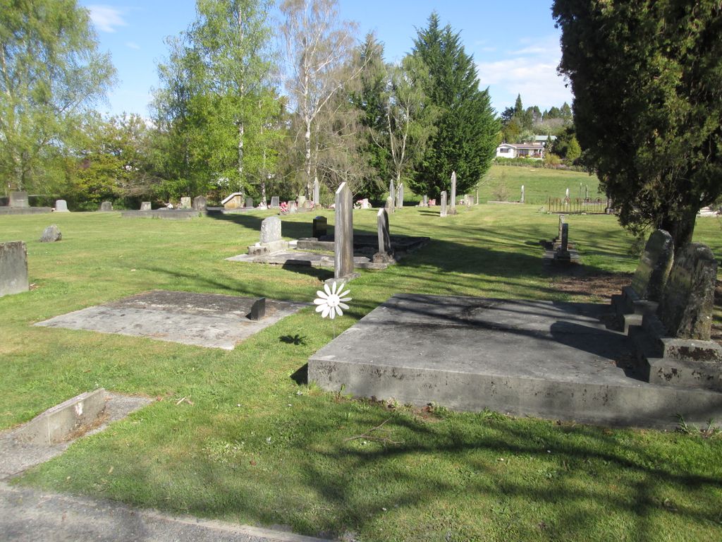
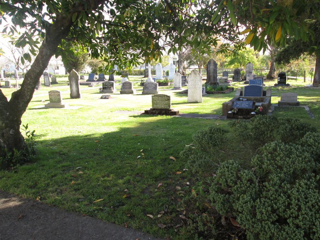
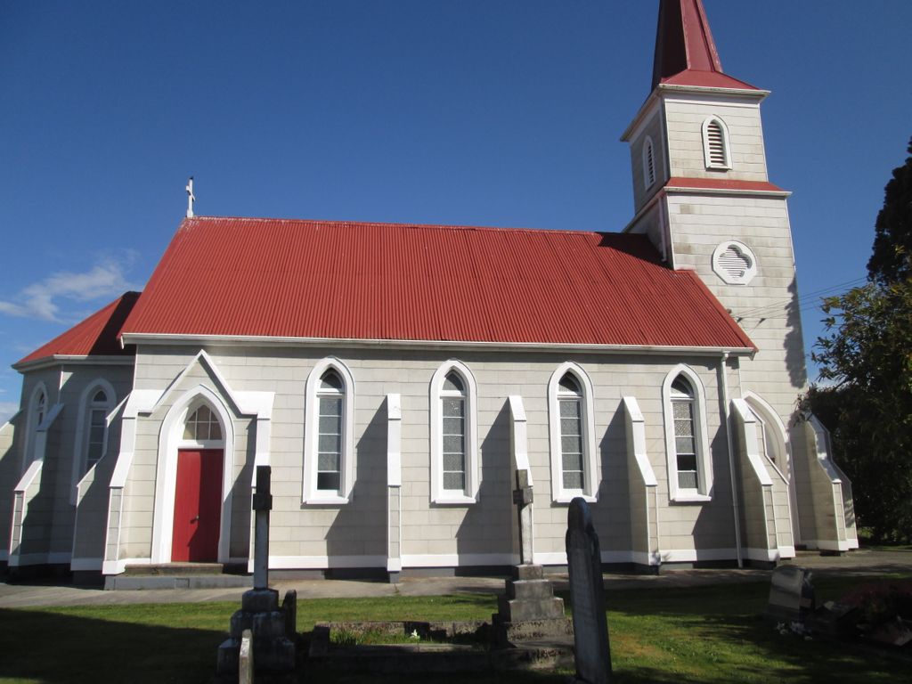
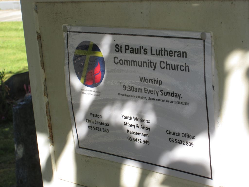
| Description | : | UPPER MOUTERE LUTHERAN CEMETERY St Paul's Lutheran Church St Paul's Lutheran Churchyard In the early 1840's the New Zealand Company sought migrants from England and Germany to settle in Nelson and the outlying areas. The first European settlers in the Moutere Valley were English, and these were followed in 1843 by migrants predominately from Northern Germany. In 1843 the North German Mission Society sent J.W.C. Heine and three other missionaries to establish a Lutheran Mission Station to Maori. The house they built and their land at St. Paulidorf (now Harakeke) had to be abandoned due to repeated flooding. Heine was the only missionary to... Read More |
frequently asked questions (FAQ):
-
Where is St. Paul's Lutheran Churchyard?
St. Paul's Lutheran Churchyard is located at Moutere Highway, supplejack valley road, moutere, tasman Upper Moutere, Tasman District ,Tasman , 7152New Zealand.
-
St. Paul's Lutheran Churchyard cemetery's updated grave count on graveviews.com?
15 memorials
-
Where are the coordinates of the St. Paul's Lutheran Churchyard?
Latitude: -41.2703770
Longitude: 173.0058870


Nearby Cemetories:
1. Moutere Hills Cemetery
Upper Moutere, Tasman District, New Zealand
Coordinate: -41.2365927, 173.0102027
2. Dovedale Cemetery
Dovedale, Tasman District, New Zealand
Coordinate: -41.2900770, 172.8970380
3. Saint Peter & Paul Catholic Churchyard
Appleby, Tasman District, New Zealand
Coordinate: -41.3172800, 173.1117800
4. Fletts Cemetery
Lower Moutere, Tasman District, New Zealand
Coordinate: -41.1715560, 172.9992190
5. Waiwhero Cemetery
Ngatimoti, Tasman District, New Zealand
Coordinate: -41.1879690, 172.9304540
6. Waimea West Cemetery
Brightwater, Tasman District, New Zealand
Coordinate: -41.3364880, 173.1062950
7. St Michael's Churchyard
Brightwater, Tasman District, New Zealand
Coordinate: -41.3383330, 173.1060180
8. Saint Alban's Appleby Churchyard
Appleby, Tasman District, New Zealand
Coordinate: -41.3173900, 173.1370900
9. Saint Pauls Churchyard
Brightwater, Tasman District, New Zealand
Coordinate: -41.3705220, 173.1032750
10. Spring Grove School Burials
Spring Grove, Tasman District, New Zealand
Coordinate: -41.3852900, 173.0903000
11. St John's Lutheran Churchyard
Hope, Tasman District, New Zealand
Coordinate: -41.3496940, 173.1488400
12. Saint Joseph's Church Cemetery
Wakefield, Tasman District, New Zealand
Coordinate: -41.4053900, 173.0506100
13. Motueka Cemetery
Motueka, Tasman District, New Zealand
Coordinate: -41.1280550, 173.0198830
14. Spring Grove Cemetery
Wakefield, Tasman District, New Zealand
Coordinate: -41.4013610, 173.0822780
15. Saint Johns Churchyard
Wakefield, Tasman District, New Zealand
Coordinate: -41.4101250, 173.0479030
16. Hope Gardens of Remembrance and Crematorium
Hope, Tasman District, New Zealand
Coordinate: -41.3781226, 173.1329303
17. Pioneer Family Grave
Hope, Tasman District, New Zealand
Coordinate: -41.3589679, 173.1671130
18. Richmond Cemetery
Richmond, Tasman District, New Zealand
Coordinate: -41.3485780, 173.1782300
19. Stanley Brook Cemetery
Stanley Brook, Tasman District, New Zealand
Coordinate: -41.3311820, 172.8206200
20. Pah Street Methodist Cemetery
Motueka, Tasman District, New Zealand
Coordinate: -41.1105140, 173.0018140
21. Pangatotara Cemetery
Pangatotara, Tasman District, New Zealand
Coordinate: -41.1146220, 172.9456110
22. Pioneer Park
Motueka, Tasman District, New Zealand
Coordinate: -41.1059000, 173.0211850
23. Seaview Cemetery
Nelson, Nelson City, New Zealand
Coordinate: -41.3037350, 173.2262930
24. Busch Graves
Hope, Tasman District, New Zealand
Coordinate: -41.4048597, 173.1533852