
| Memorials | : | 21 |
| Location | : | Brightwater, Tasman District, New Zealand |
| Website | : | www.nelsonanglican.nz/waimea-parish |
| Coordinate | : | -41.3383330, 173.1060180 |
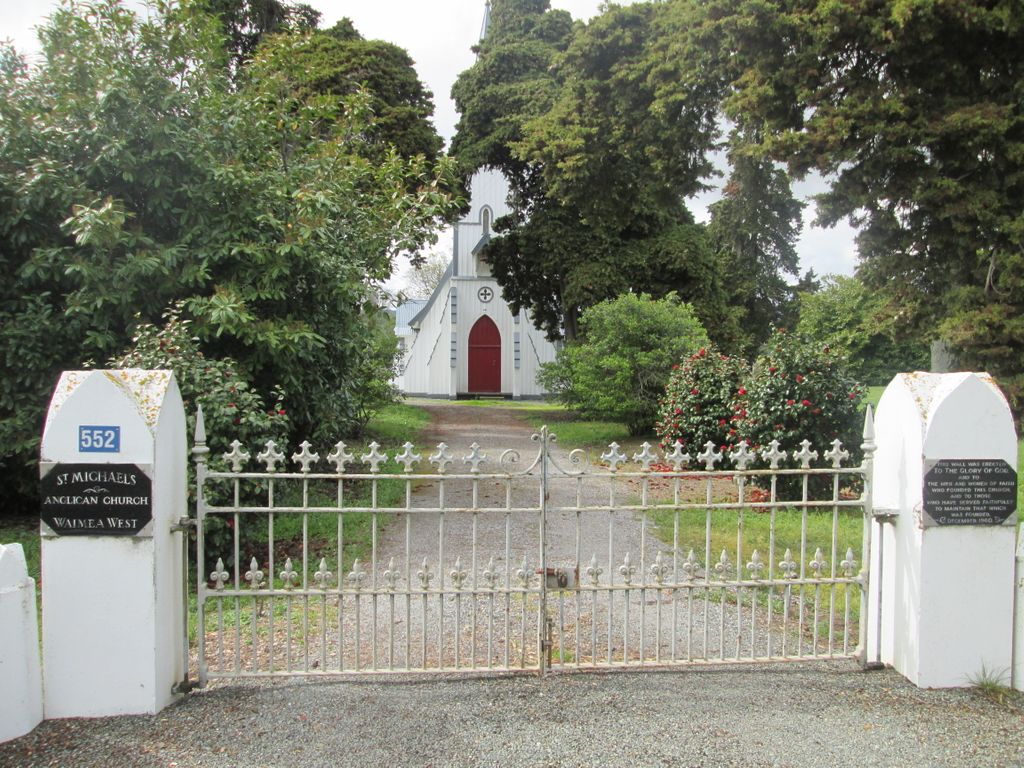
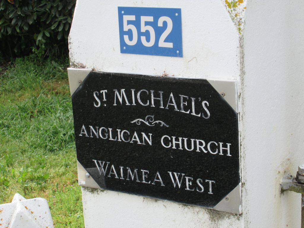
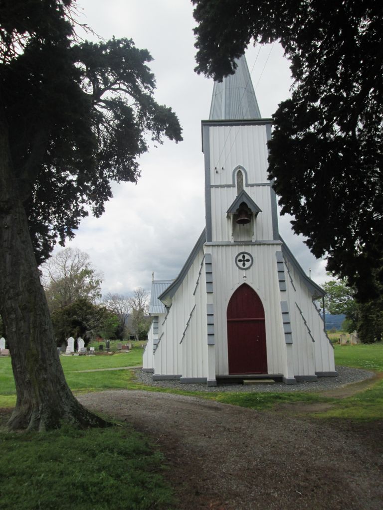
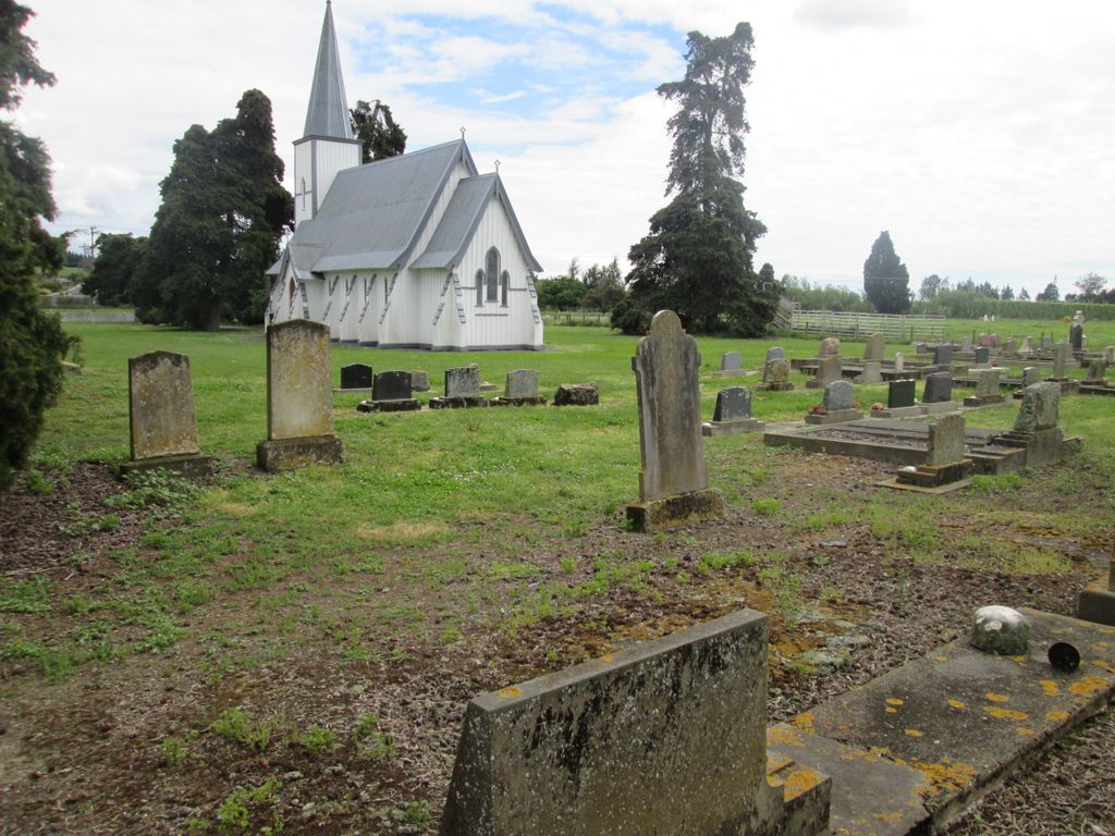
| Description | : | St Michaels Anglican Church Waimea West Rd, Brightwater 7022, New Zealand 03-542 3694 |
frequently asked questions (FAQ):
-
Where is St Michael's Churchyard?
St Michael's Churchyard is located at 552 Waimea West Rd Brightwater, Tasman District ,Tasman , 7022New Zealand.
-
St Michael's Churchyard cemetery's updated grave count on graveviews.com?
19 memorials
-
Where are the coordinates of the St Michael's Churchyard?
Latitude: -41.3383330
Longitude: 173.1060180
Nearby Cemetories:
1. Waimea West Cemetery
Brightwater, Tasman District, New Zealand
Coordinate: -41.3364880, 173.1062950
2. Saint Peter & Paul Catholic Churchyard
Appleby, Tasman District, New Zealand
Coordinate: -41.3172800, 173.1117800
3. Saint Alban's Appleby Churchyard
Appleby, Tasman District, New Zealand
Coordinate: -41.3173900, 173.1370900
4. Saint Pauls Churchyard
Brightwater, Tasman District, New Zealand
Coordinate: -41.3705220, 173.1032750
5. St John's Lutheran Churchyard
Hope, Tasman District, New Zealand
Coordinate: -41.3496940, 173.1488400
6. Hope Gardens of Remembrance and Crematorium
Hope, Tasman District, New Zealand
Coordinate: -41.3781226, 173.1329303
7. Spring Grove School Burials
Spring Grove, Tasman District, New Zealand
Coordinate: -41.3852900, 173.0903000
8. Pioneer Family Grave
Hope, Tasman District, New Zealand
Coordinate: -41.3589679, 173.1671130
9. Richmond Cemetery
Richmond, Tasman District, New Zealand
Coordinate: -41.3485780, 173.1782300
10. Spring Grove Cemetery
Wakefield, Tasman District, New Zealand
Coordinate: -41.4013610, 173.0822780
11. Busch Graves
Hope, Tasman District, New Zealand
Coordinate: -41.4048597, 173.1533852
12. Saint Joseph's Church Cemetery
Wakefield, Tasman District, New Zealand
Coordinate: -41.4053900, 173.0506100
13. Saint Johns Churchyard
Wakefield, Tasman District, New Zealand
Coordinate: -41.4101250, 173.0479030
14. Seaview Cemetery
Nelson, Nelson City, New Zealand
Coordinate: -41.3037350, 173.2262930
15. St Barnabas Anglican Churchyard
Stoke, Nelson City, New Zealand
Coordinate: -41.3126340, 173.2351600
16. St. Paul's Lutheran Churchyard
Upper Moutere, Tasman District, New Zealand
Coordinate: -41.2703770, 173.0058870
17. St. Mary's Orphanage Cemetery
Nelson City, New Zealand
Coordinate: -41.3302150, 173.2449810
18. Marsden Cemetery
Nelson, Nelson City, New Zealand
Coordinate: -41.3178960, 173.2488480
19. Moutere Hills Cemetery
Upper Moutere, Tasman District, New Zealand
Coordinate: -41.2365927, 173.0102027
20. Haven Cemetery
Nelson, Nelson City, New Zealand
Coordinate: -41.2732100, 173.2603300
21. Haulashore Island
Nelson, Nelson City, New Zealand
Coordinate: -41.2691290, 173.2589020
22. Fairfield Cemetery
Nelson, Nelson City, New Zealand
Coordinate: -41.2827760, 173.2832300
23. Quaker's Acre
Nelson, Nelson City, New Zealand
Coordinate: -41.2756190, 173.2806640
24. Hallowell Cemetery
Nelson, Nelson City, New Zealand
Coordinate: -41.2774690, 173.2857200