
| Memorials | : | 0 |
| Location | : | Silverdale, City of Lancaster, England |
| Coordinate | : | 54.1738400, -2.8213300 |
| Description | : | Silverdale is a village and civil parish within the City of Lancaster in Lancashire, England. The village stands on Morecambe Bay, near the border with Cumbria, 4.5 miles north west of Carnforth and 8.5 miles north of Lancaster. Silverdale forms part of the Arnside and Silverdale Area of Outstanding Natural Beauty. The RSPB's Leighton Moss nature reserve is close to the village. St. John's Church of England is the village church of Silverdale and the village also has a Methodist Church. |
frequently asked questions (FAQ):
-
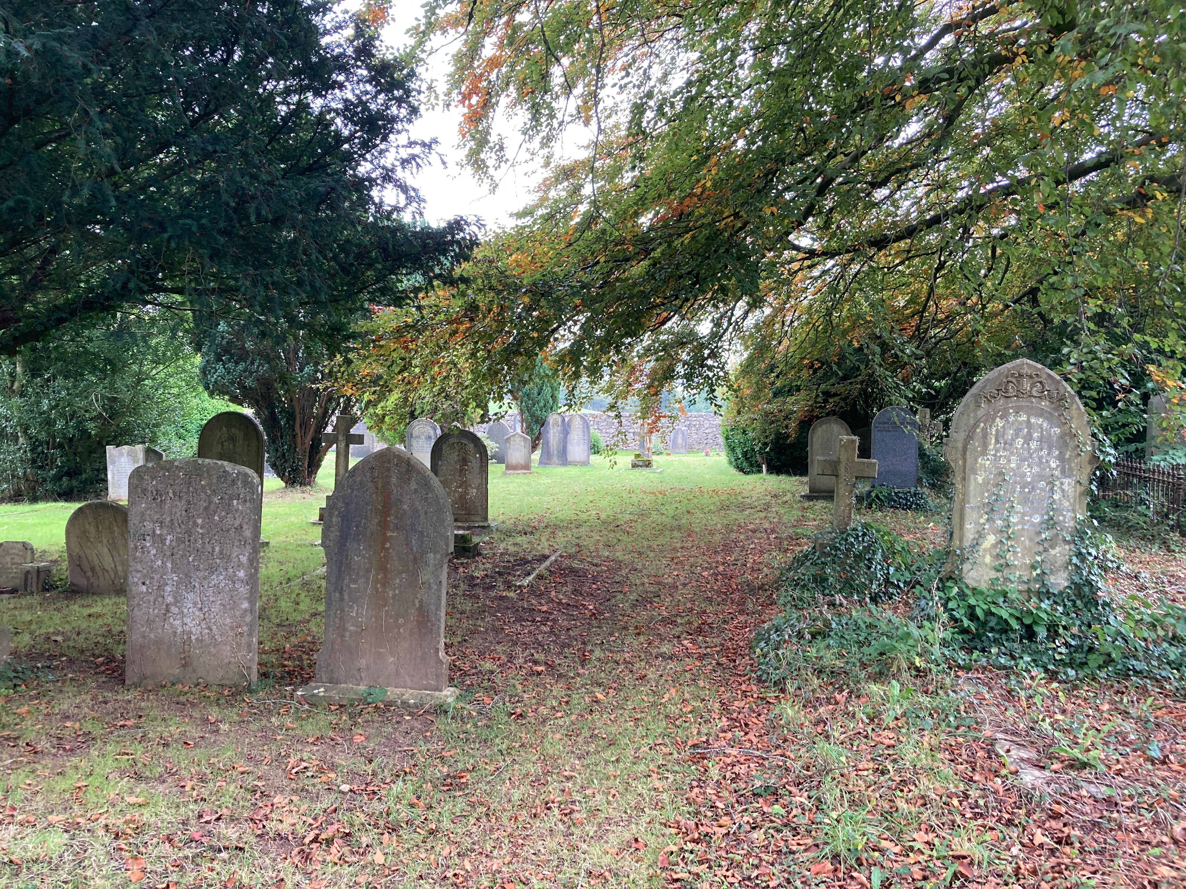
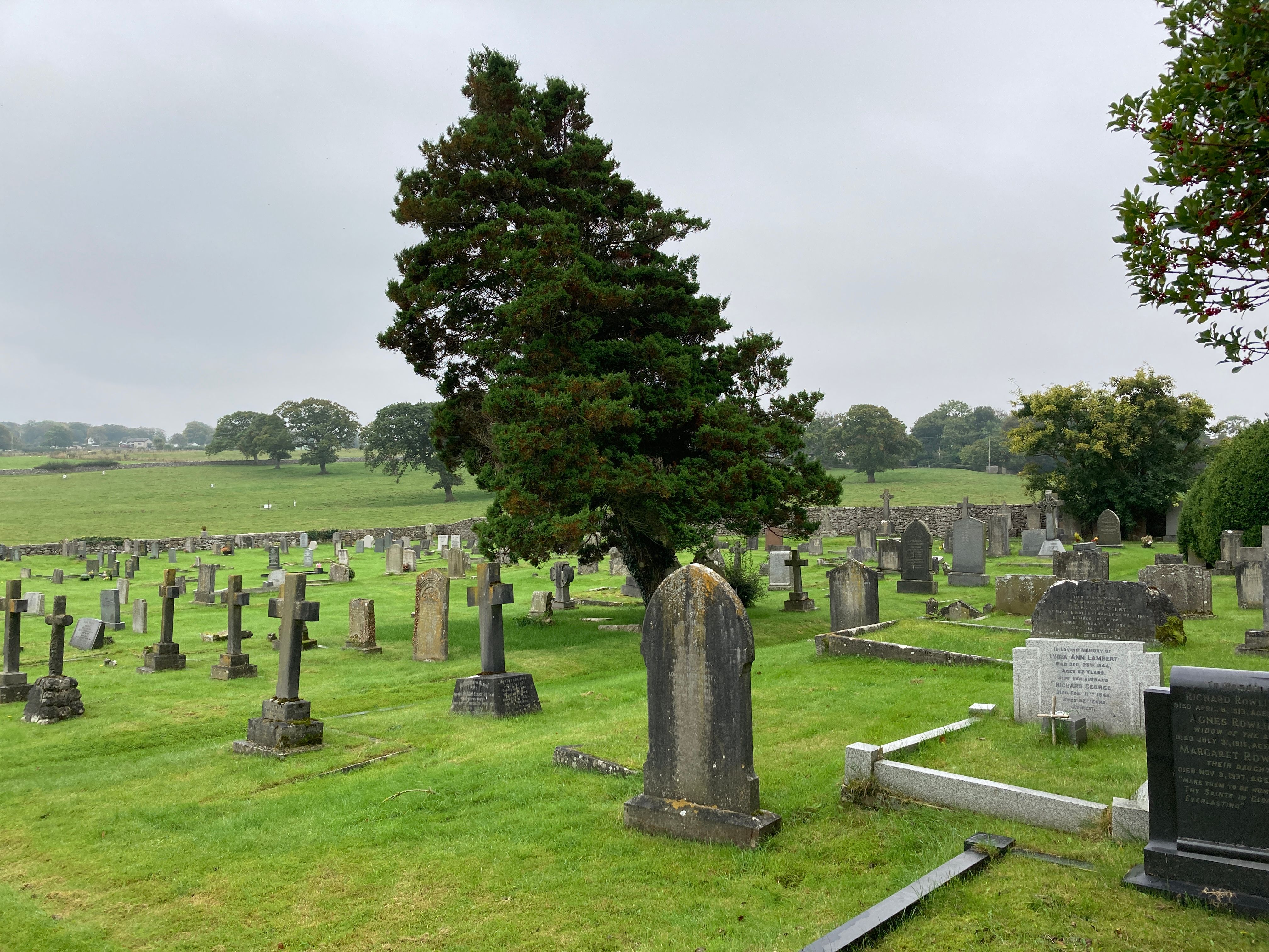
Where is St. John Old Churchyard Extension?
St. John Old Churchyard Extension is located at Emesgate Lane Silverdale, City of Lancaster ,Lancashire , LA5 0RJEngland.
-
St. John Old Churchyard Extension cemetery's updated grave count on graveviews.com?
0 memorials
-
Where are the coordinates of the St. John Old Churchyard Extension?
Latitude: 54.1738400
Longitude: -2.8213300
Nearby Cemetories:
1. Saint John Churchyard
Silverdale, City of Lancaster, England
Coordinate: 54.1716000, -2.8238000
2. Arnside Cemetery
Arnside, South Lakeland District, England
Coordinate: 54.1922975, -2.8278230
3. Yealand Quaker Meeting Burial Ground
Yealand Conyers, City of Lancaster, England
Coordinate: 54.1631730, -2.7618190
4. Saint Mary's Churchyard
Yealand Conyers, City of Lancaster, England
Coordinate: 54.1604400, -2.7612900
5. St. John the Evangelist Churchyard
Yealand Conyers, City of Lancaster, England
Coordinate: 54.1667470, -2.7565170
6. St. Oswald Churchyard
Warton, City of Lancaster, England
Coordinate: 54.1443660, -2.7694120
7. Beetham (St. Michael) Churchyard Extension
Beetham, South Lakeland District, England
Coordinate: 54.2100538, -2.7768882
8. Beetham Hall Crematorium
Milnthorpe, South Lakeland District, England
Coordinate: 54.2066938, -2.7690287
9. St Michael and All Angels Churchyard
Beetham, South Lakeland District, England
Coordinate: 54.2093740, -2.7741380
10. John Wilkinson Memorial
Lindale, South Lakeland District, England
Coordinate: 54.2153750, -2.8933350
11. St James Churchyard
Burton-in-Kendal, South Lakeland District, England
Coordinate: 54.1859270, -2.7210310
12. Holy Trinity Churchyard
Holme, South Lakeland District, England
Coordinate: 54.2030730, -2.7318680
13. St. Thomas Churchyard
Milnthorpe, South Lakeland District, England
Coordinate: 54.2267500, -2.7711100
14. Carnforth Cemetery
Carnforth, City of Lancaster, England
Coordinate: 54.1245420, -2.7587820
15. St Paul's Churchyard
Lindale, South Lakeland District, England
Coordinate: 54.2159090, -2.8999800
16. St. Thomas Church Cemetery
Milnthorpe, South Lakeland District, England
Coordinate: 54.2269300, -2.7651600
17. Grange Fell Cemetery
Grange-over-Sands, South Lakeland District, England
Coordinate: 54.1923000, -2.9313800
18. St Mary's Churchyard
Allithwaite, South Lakeland District, England
Coordinate: 54.1835640, -2.9427590
19. Holy Trinity Churchyard
Bolton-le-Sands, City of Lancaster, England
Coordinate: 54.1027700, -2.7911700
20. Christ Church United Reform Church
Bolton-le-Sands, City of Lancaster, England
Coordinate: 54.1015860, -2.7929000
21. St. Peter's Churchyard
Heversham, South Lakeland District, England
Coordinate: 54.2436690, -2.7749850
22. St Cuthbert Churchyard
Over Kellet, City of Lancaster, England
Coordinate: 54.1195480, -2.7318200
23. Nether Kellet Congregational Church
Nether Kellet, City of Lancaster, England
Coordinate: 54.1070772, -2.7587630
24. Priory Church of St Mary & St Michael
Cartmel, South Lakeland District, England
Coordinate: 54.2011110, -2.9522220