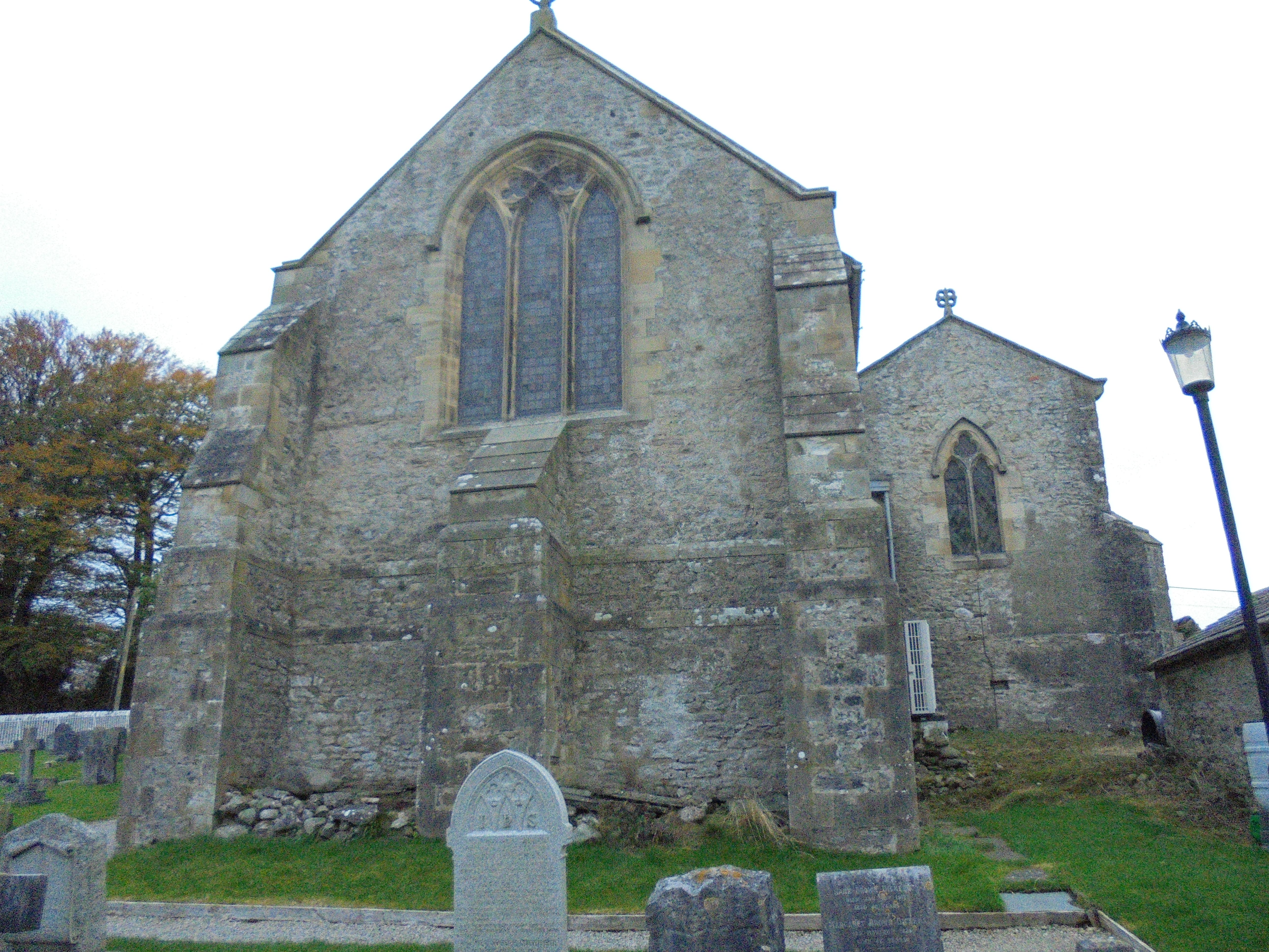
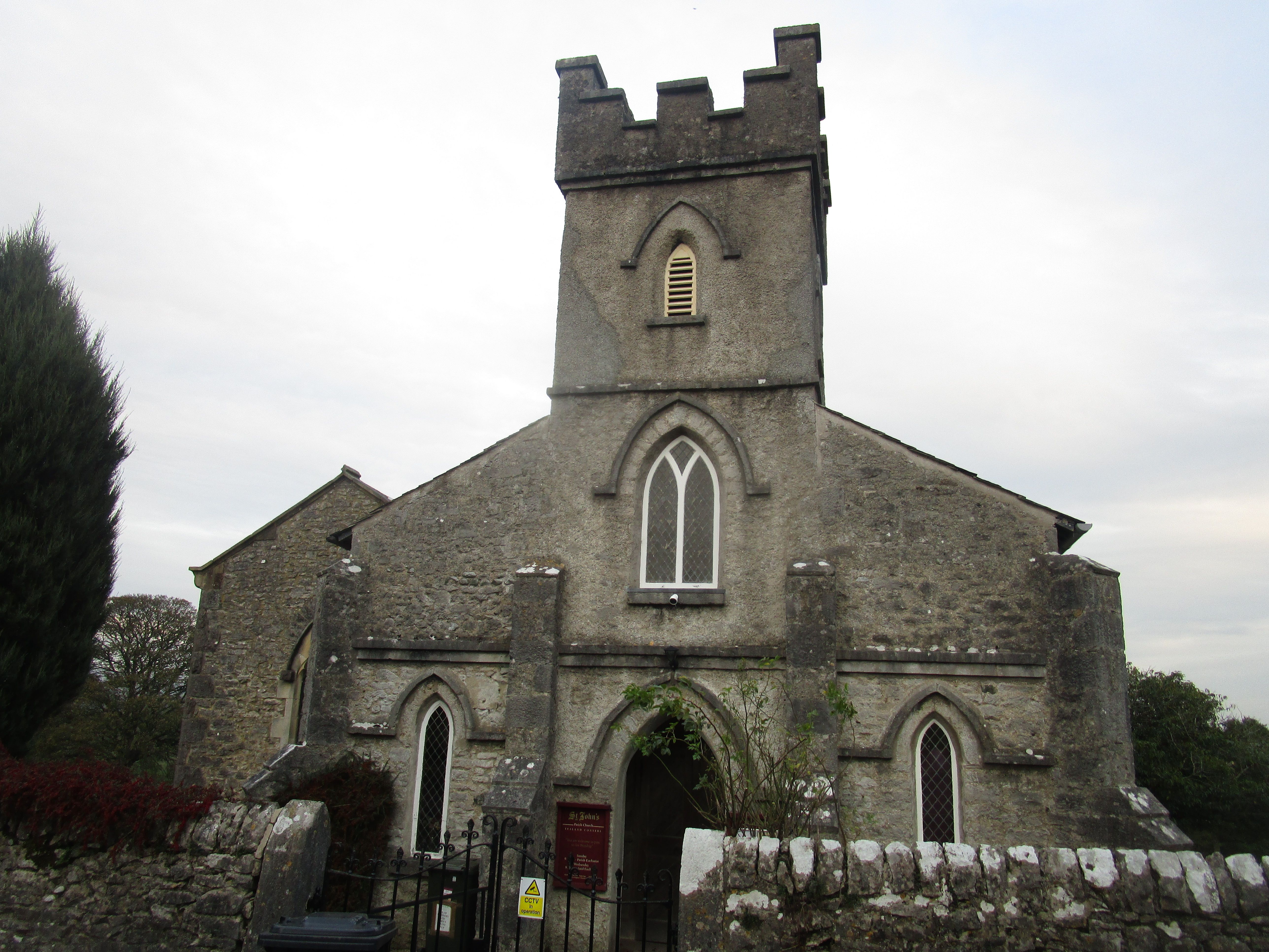
| Memorials | : | 0 |
| Location | : | Yealand Conyers, City of Lancaster, England |
| Coordinate | : | 54.1667470, -2.7565170 |
frequently asked questions (FAQ):
-
Where is St. John the Evangelist Churchyard?
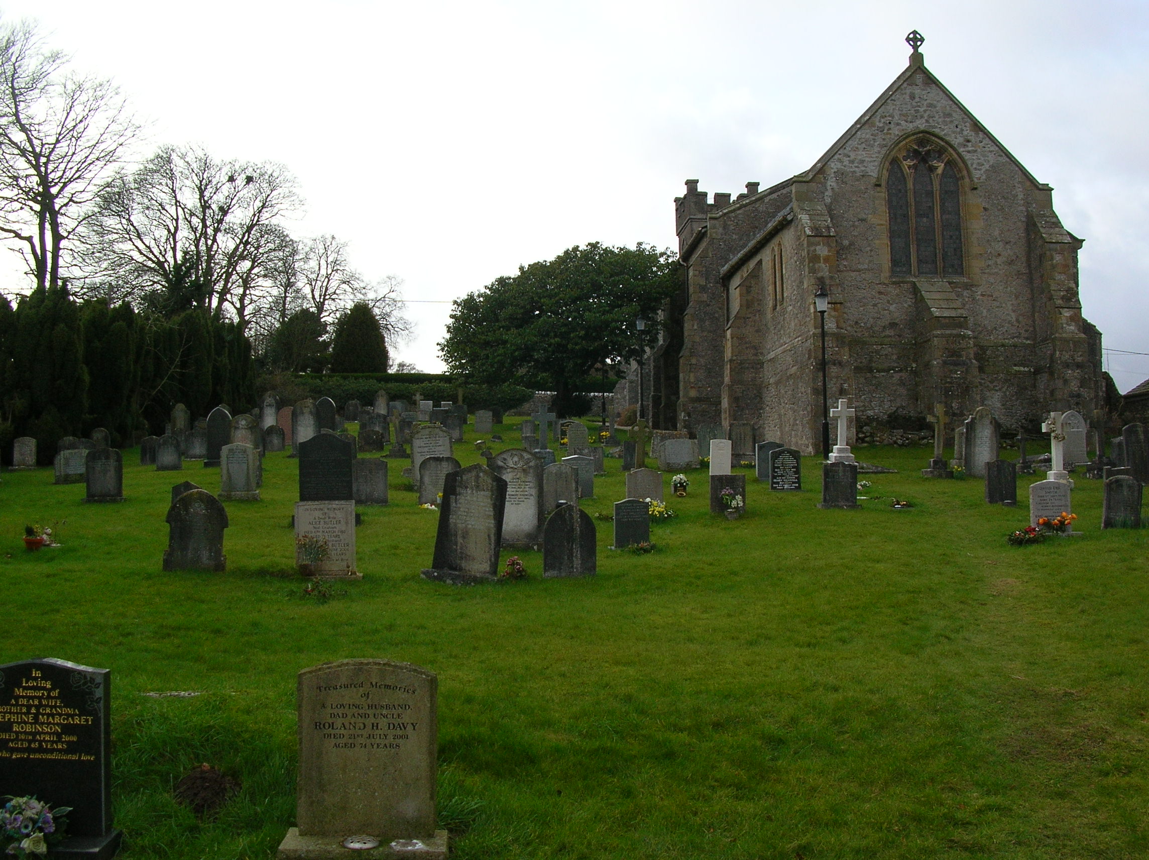
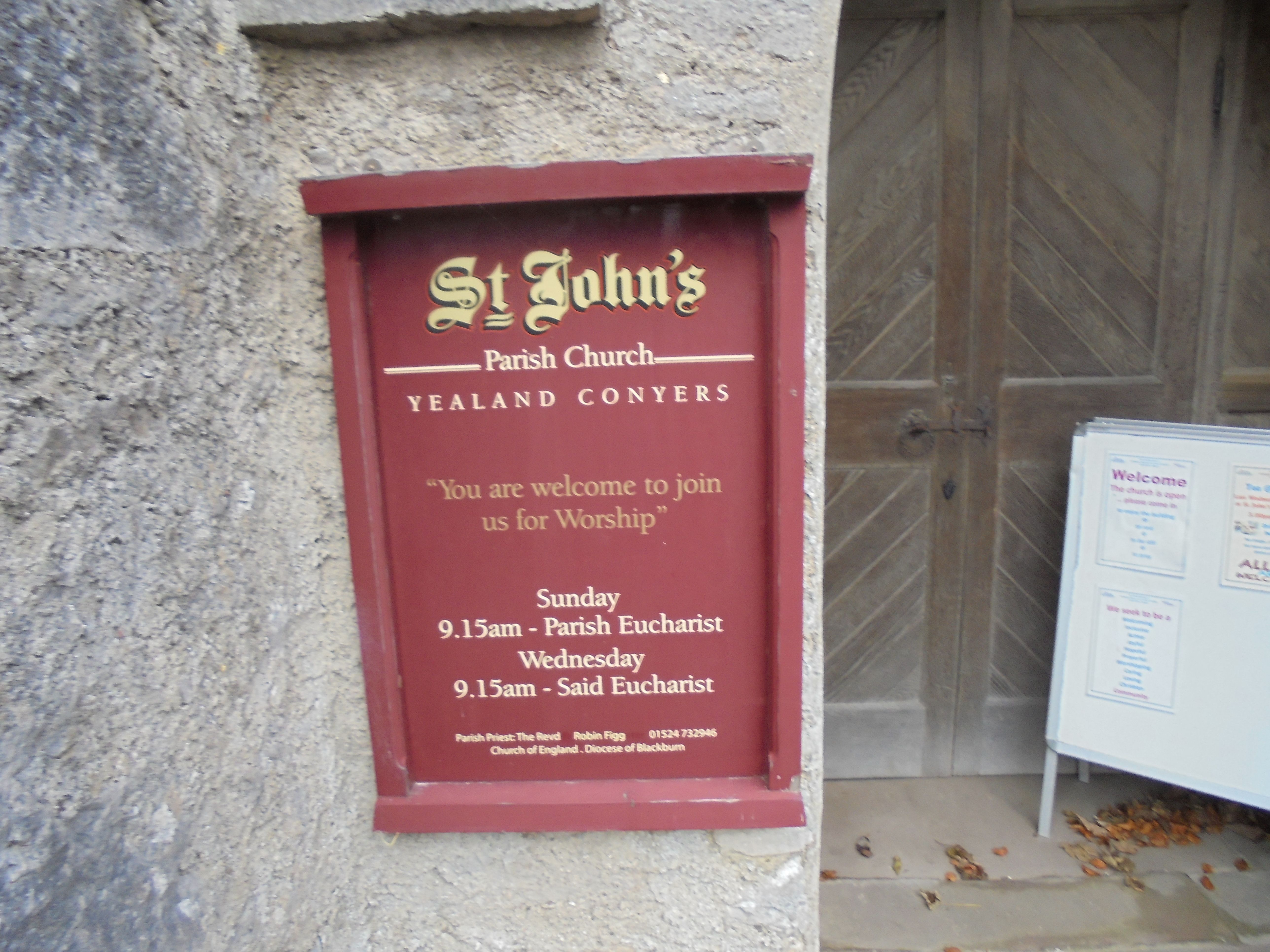
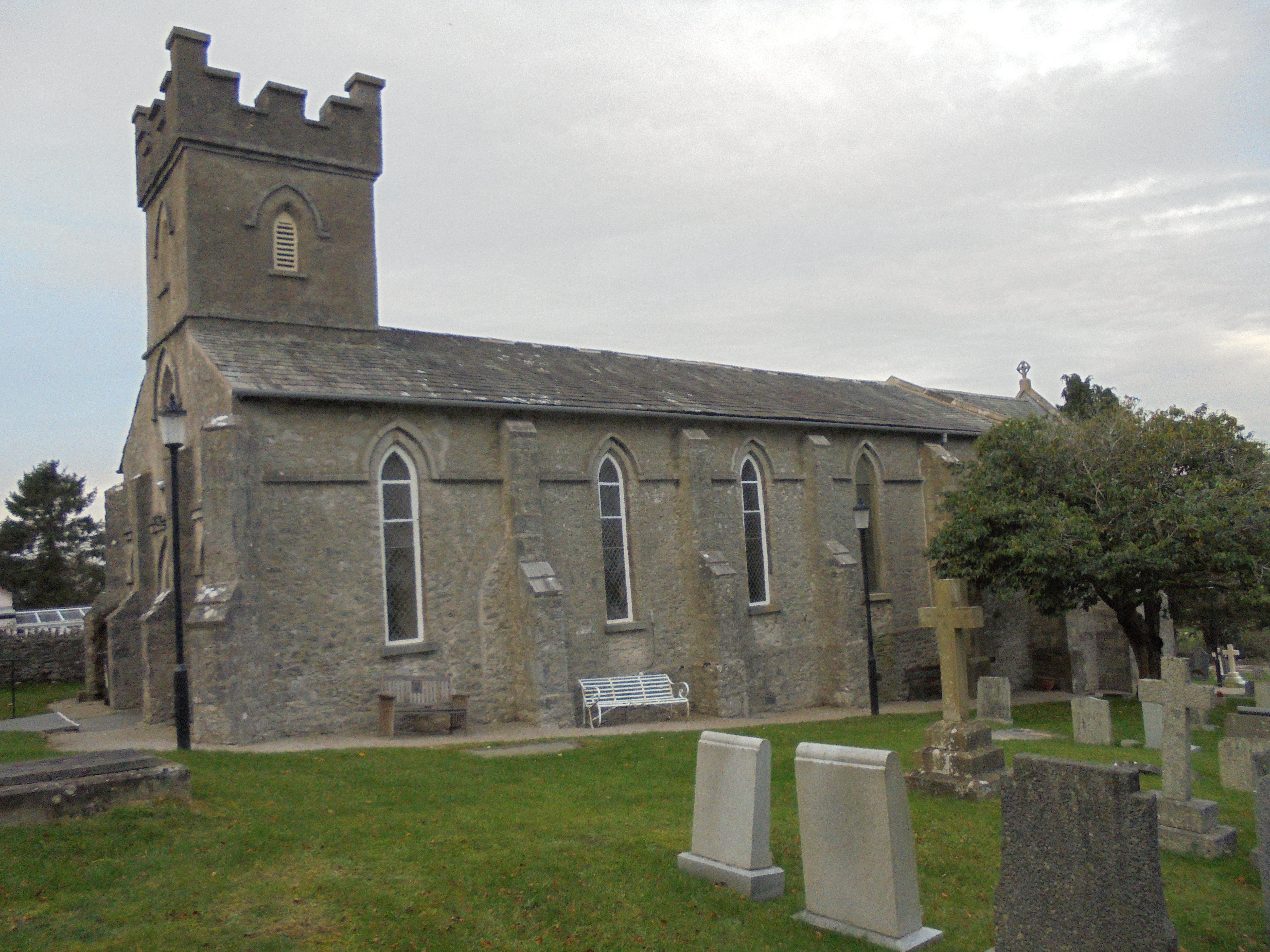
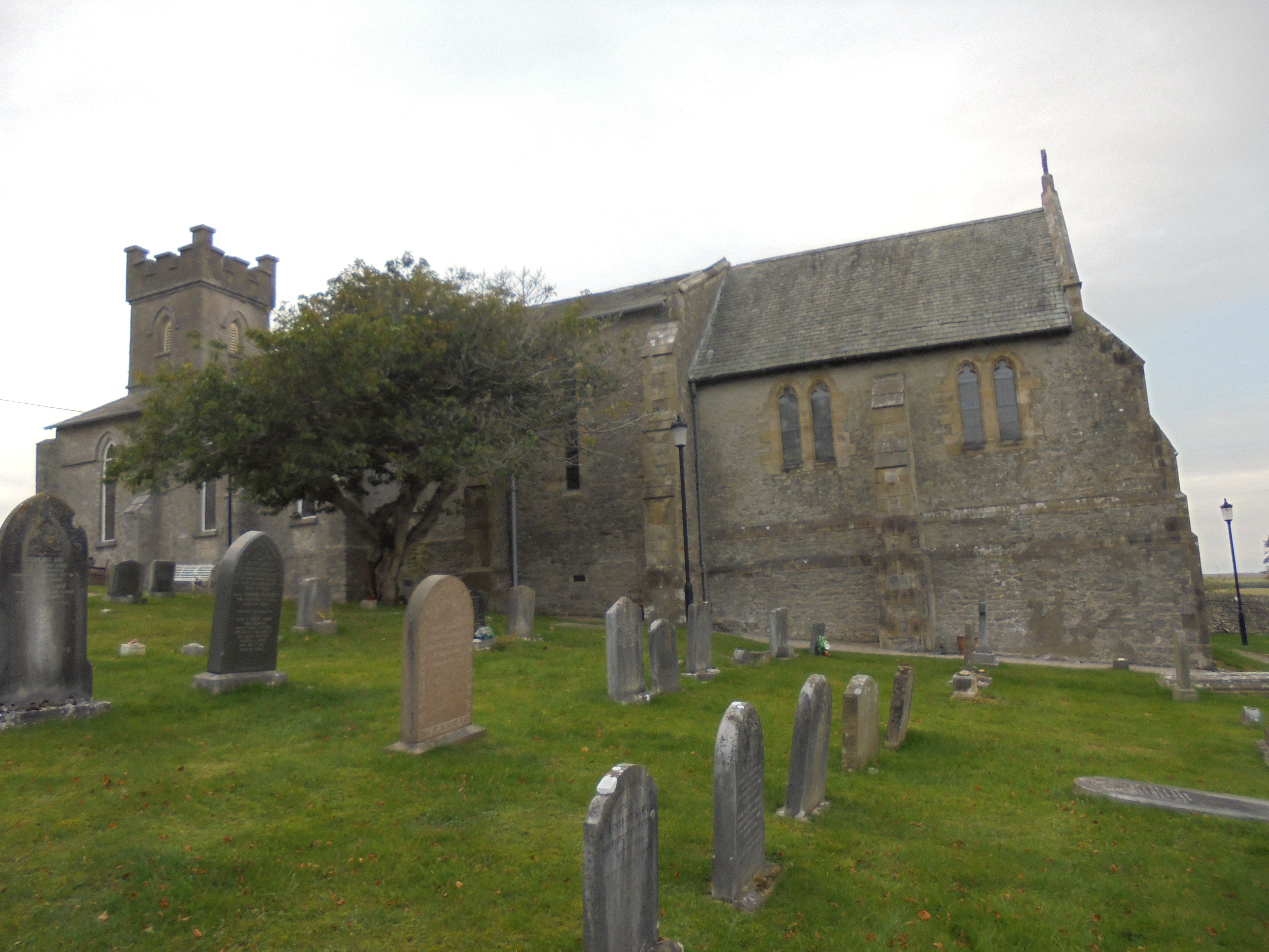
St. John the Evangelist Churchyard is located at Church Lane Yealand Conyers, City of Lancaster ,Lancashire , LA5 9SLEngland.
-
St. John the Evangelist Churchyard cemetery's updated grave count on graveviews.com?
0 memorials
-
Where are the coordinates of the St. John the Evangelist Churchyard?
Latitude: 54.1667470
Longitude: -2.7565170
Nearby Cemetories:
1. Yealand Quaker Meeting Burial Ground
Yealand Conyers, City of Lancaster, England
Coordinate: 54.1631730, -2.7618190
2. Saint Mary's Churchyard
Yealand Conyers, City of Lancaster, England
Coordinate: 54.1604400, -2.7612900
3. St. Oswald Churchyard
Warton, City of Lancaster, England
Coordinate: 54.1443660, -2.7694120
4. St James Churchyard
Burton-in-Kendal, South Lakeland District, England
Coordinate: 54.1859270, -2.7210310
5. St. John Old Churchyard Extension
Silverdale, City of Lancaster, England
Coordinate: 54.1738400, -2.8213300
6. Holy Trinity Churchyard
Holme, South Lakeland District, England
Coordinate: 54.2030730, -2.7318680
7. Saint John Churchyard
Silverdale, City of Lancaster, England
Coordinate: 54.1716000, -2.8238000
8. Beetham Hall Crematorium
Milnthorpe, South Lakeland District, England
Coordinate: 54.2066938, -2.7690287
9. Carnforth Cemetery
Carnforth, City of Lancaster, England
Coordinate: 54.1245420, -2.7587820
10. St Michael and All Angels Churchyard
Beetham, South Lakeland District, England
Coordinate: 54.2093740, -2.7741380
11. Beetham (St. Michael) Churchyard Extension
Beetham, South Lakeland District, England
Coordinate: 54.2100538, -2.7768882
12. Arnside Cemetery
Arnside, South Lakeland District, England
Coordinate: 54.1922975, -2.8278230
13. St Cuthbert Churchyard
Over Kellet, City of Lancaster, England
Coordinate: 54.1195480, -2.7318200
14. Nether Kellet Congregational Church
Nether Kellet, City of Lancaster, England
Coordinate: 54.1070772, -2.7587630
15. St. Thomas Church Cemetery
Milnthorpe, South Lakeland District, England
Coordinate: 54.2269300, -2.7651600
16. St. Thomas Churchyard
Milnthorpe, South Lakeland District, England
Coordinate: 54.2267500, -2.7711100
17. St John's Churchyard
Hutton Roof, South Lakeland District, England
Coordinate: 54.2029600, -2.6615600
18. Holy Trinity Churchyard
Bolton-le-Sands, City of Lancaster, England
Coordinate: 54.1027700, -2.7911700
19. Christ Church United Reform Church
Bolton-le-Sands, City of Lancaster, England
Coordinate: 54.1015860, -2.7929000
20. St. John The Evangelist Churchyard
Gressingham, City of Lancaster, England
Coordinate: 54.1233910, -2.6557800
21. St. Saviour's Church
Halton, City of Lancaster, England
Coordinate: 54.1025610, -2.6891750
22. All Saints Churchyard
Lupton, South Lakeland District, England
Coordinate: 54.2217340, -2.6649730
23. St. Peter's Churchyard
Heversham, South Lakeland District, England
Coordinate: 54.2436690, -2.7749850
24. St John The Baptist Churchyard
Arkholme, City of Lancaster, England
Coordinate: 54.1406220, -2.6307800

