| Memorials | : | 0 |
| Location | : | West Byfleet, Woking Borough, England |
| Coordinate | : | 51.3383570, -0.5023990 |
frequently asked questions (FAQ):
-
Where is St John the Baptist Church?
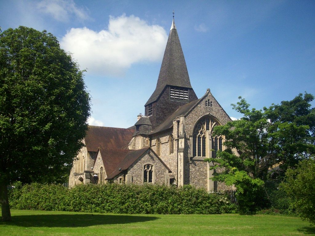
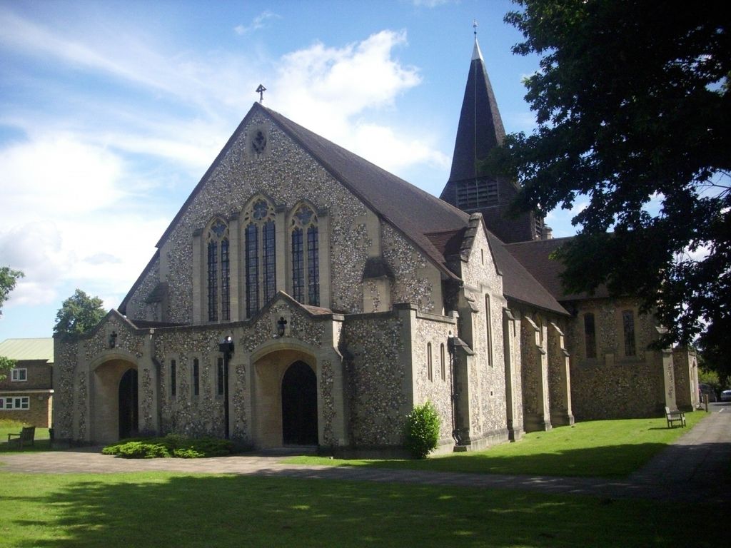
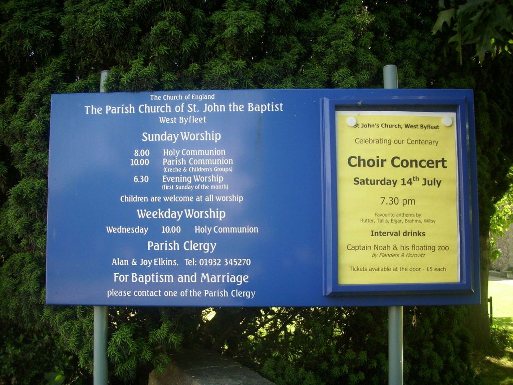
St John the Baptist Church is located at Camphill Road West Byfleet, Woking Borough ,Surrey , KT14 6EHEngland.
-
St John the Baptist Church cemetery's updated grave count on graveviews.com?
0 memorials
-
Where are the coordinates of the St John the Baptist Church?
Latitude: 51.3383570
Longitude: -0.5023990
Nearby Cemetories:
1. Wisley Church Churchyard
Wisley, Guildford Borough, England
Coordinate: 51.3257400, -0.4847130
2. St Mary Churchyard
Byfleet, Woking Borough, England
Coordinate: 51.3328210, -0.4757360
3. St. Nicholas Church
Pyrford, Woking Borough, England
Coordinate: 51.3137910, -0.5094020
4. St Paul's Churchyard
Addlestone, Runnymede Borough, England
Coordinate: 51.3687400, -0.5027050
5. Christ Church Cemetery
Ottershaw, Runnymede Borough, England
Coordinate: 51.3610140, -0.5353310
6. Weybridge Cemetery
Weybridge, Elmbridge Borough, England
Coordinate: 51.3666540, -0.4639780
7. St. Charles Borromeo Chapel
Weybridge, Elmbridge Borough, England
Coordinate: 51.3664280, -0.4597150
8. St Mary Magdalen Churchyard
Ripley, Guildford Borough, England
Coordinate: 51.2992230, -0.4936400
9. Addlestone Cemetery
Addlestone, Runnymede Borough, England
Coordinate: 51.3780880, -0.5031800
10. Old Woking Burial Ground
Old Woking, Woking Borough, England
Coordinate: 51.3026230, -0.5351320
11. St James' Churchyard
Weybridge, Elmbridge Borough, England
Coordinate: 51.3715530, -0.4612760
12. St Peter's Church
Old Woking, Woking Borough, England
Coordinate: 51.3017410, -0.5372560
13. All Saints Churchyard
Ockham, Guildford Borough, England
Coordinate: 51.2979900, -0.4710800
14. St Mary the Virgin Churchyard
Horsell, Woking Borough, England
Coordinate: 51.3227460, -0.5703770
15. Chertsey Cemetery
Chertsey, Runnymede Borough, England
Coordinate: 51.3849600, -0.5009760
16. St. Matthew's Churchyard
Cobham, Elmbridge Borough, England
Coordinate: 51.3098290, -0.4335730
17. Send Cemetery
Send, Guildford Borough, England
Coordinate: 51.2876880, -0.5273440
18. St. Peter's Churchyard
Chertsey, Runnymede Borough, England
Coordinate: 51.3924010, -0.5036640
19. Chertsey Abbey (Defunct)
Chertsey, Runnymede Borough, England
Coordinate: 51.3950000, -0.5031000
20. St Andrew Churchyard
Cobham, Elmbridge Borough, England
Coordinate: 51.3259580, -0.4114970
21. Shepperton New Cemetery
Shepperton, Spelthorne Borough, England
Coordinate: 51.3887000, -0.4550550
22. Burvale Cemetery
Hersham, Elmbridge Borough, England
Coordinate: 51.3607100, -0.4142800
23. St John the Baptist Churchyard
St Johns, Woking Borough, England
Coordinate: 51.3104700, -0.5929170
24. St Mary the Virgin Churchyard
Send, Guildford Borough, England
Coordinate: 51.2791230, -0.5408600


