
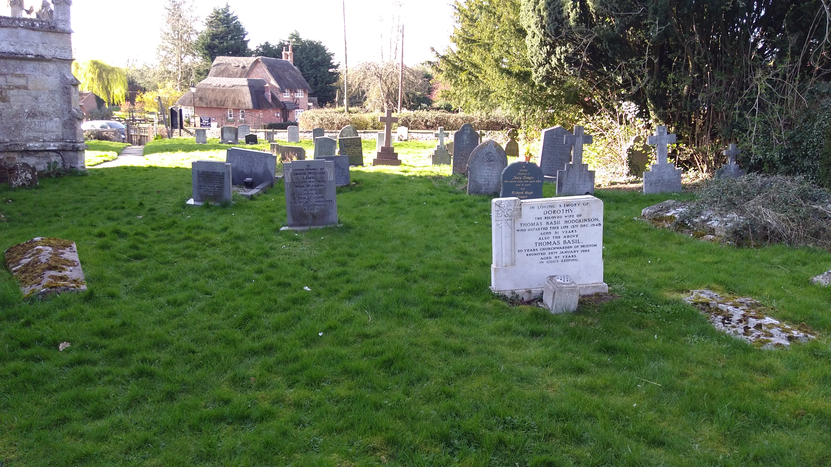
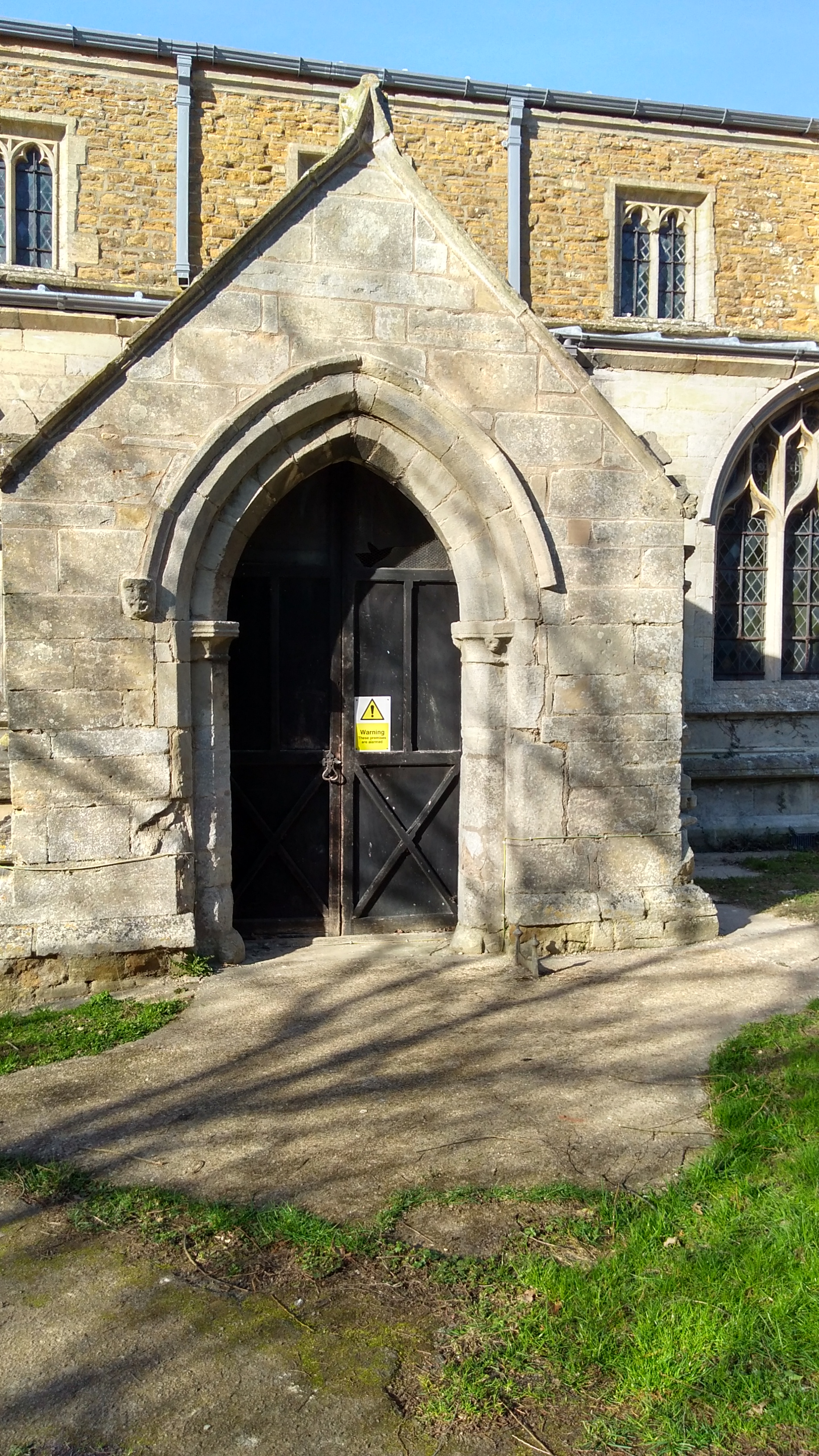
| Memorials | : | 142 |
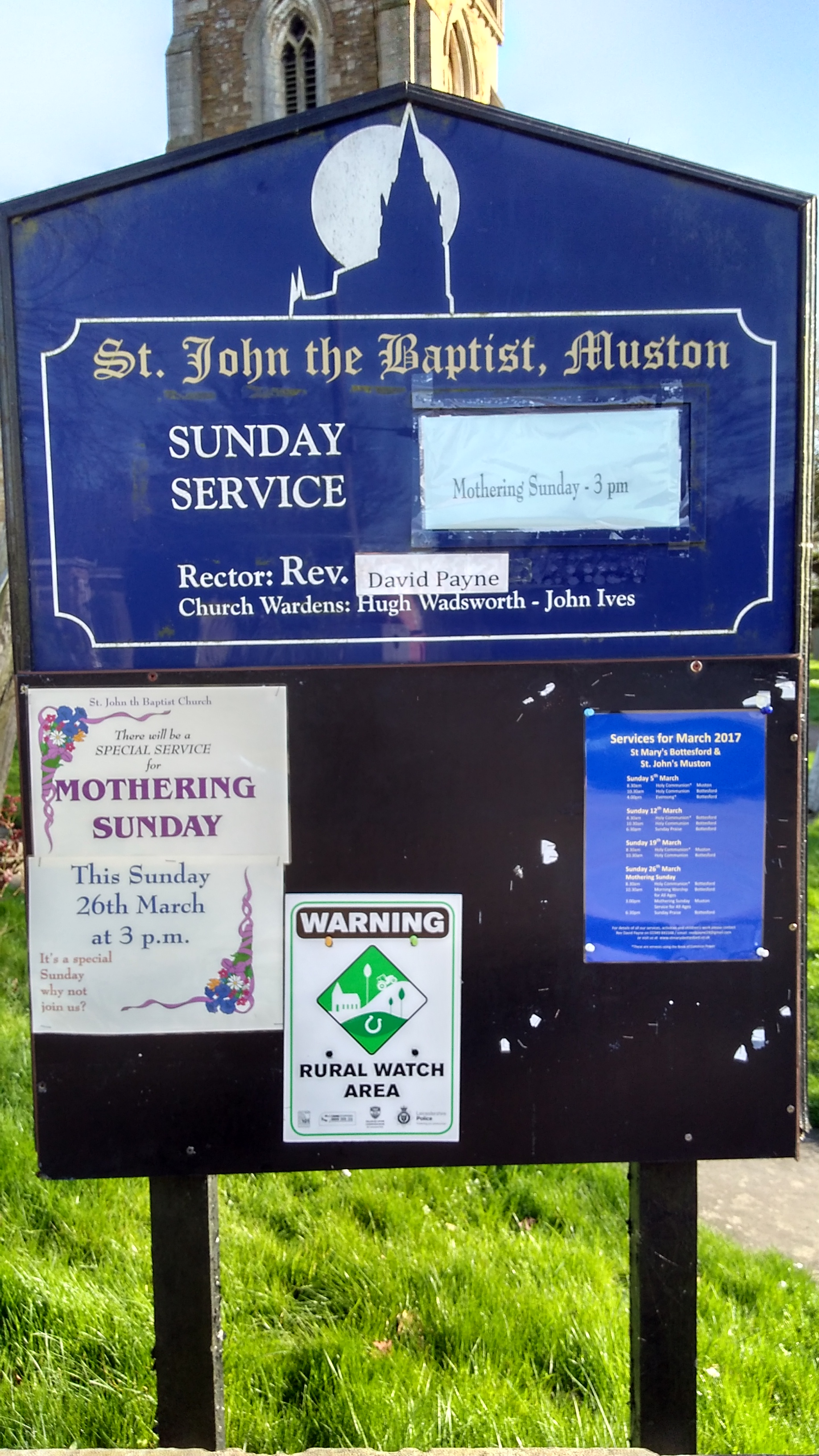
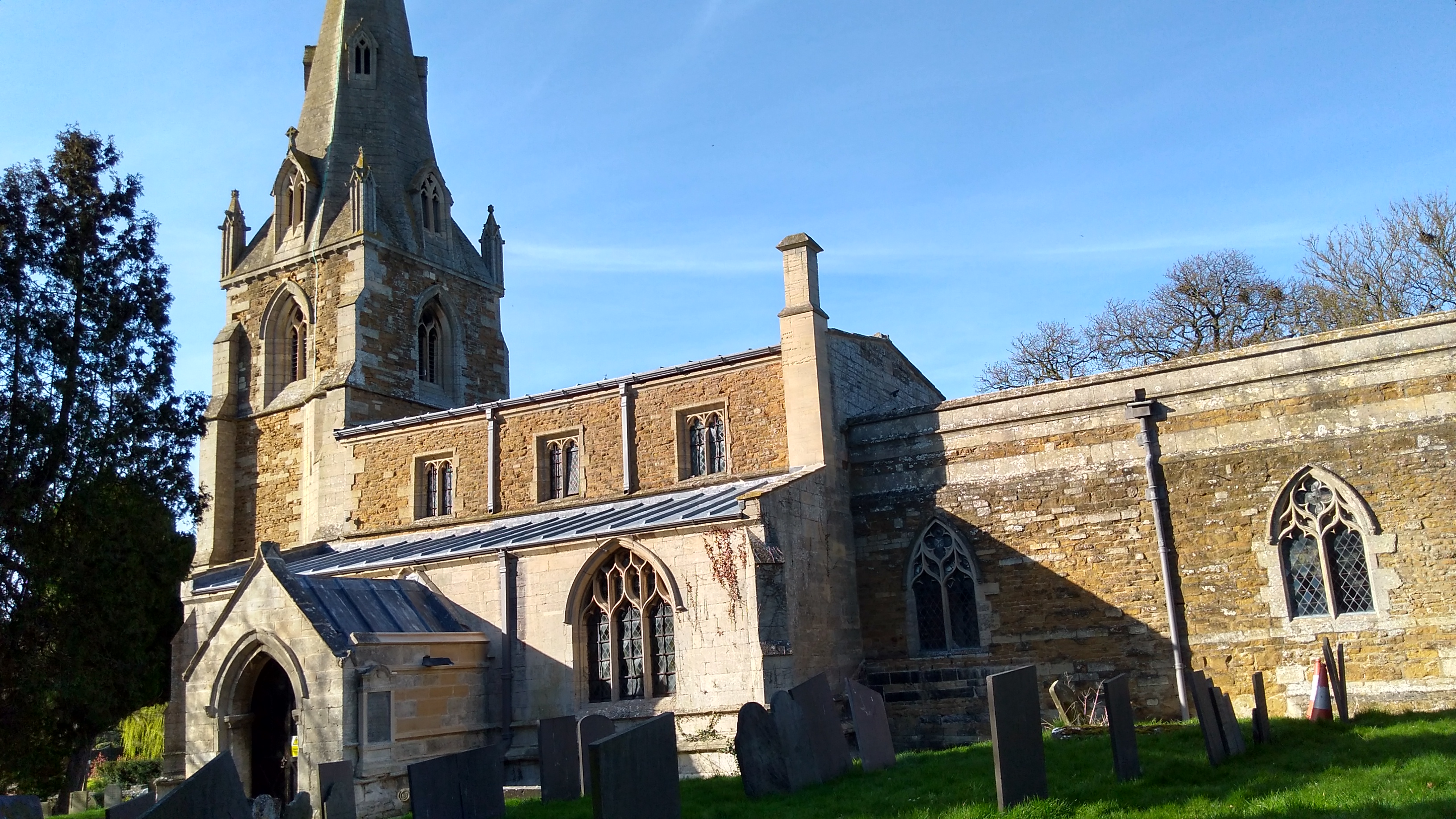
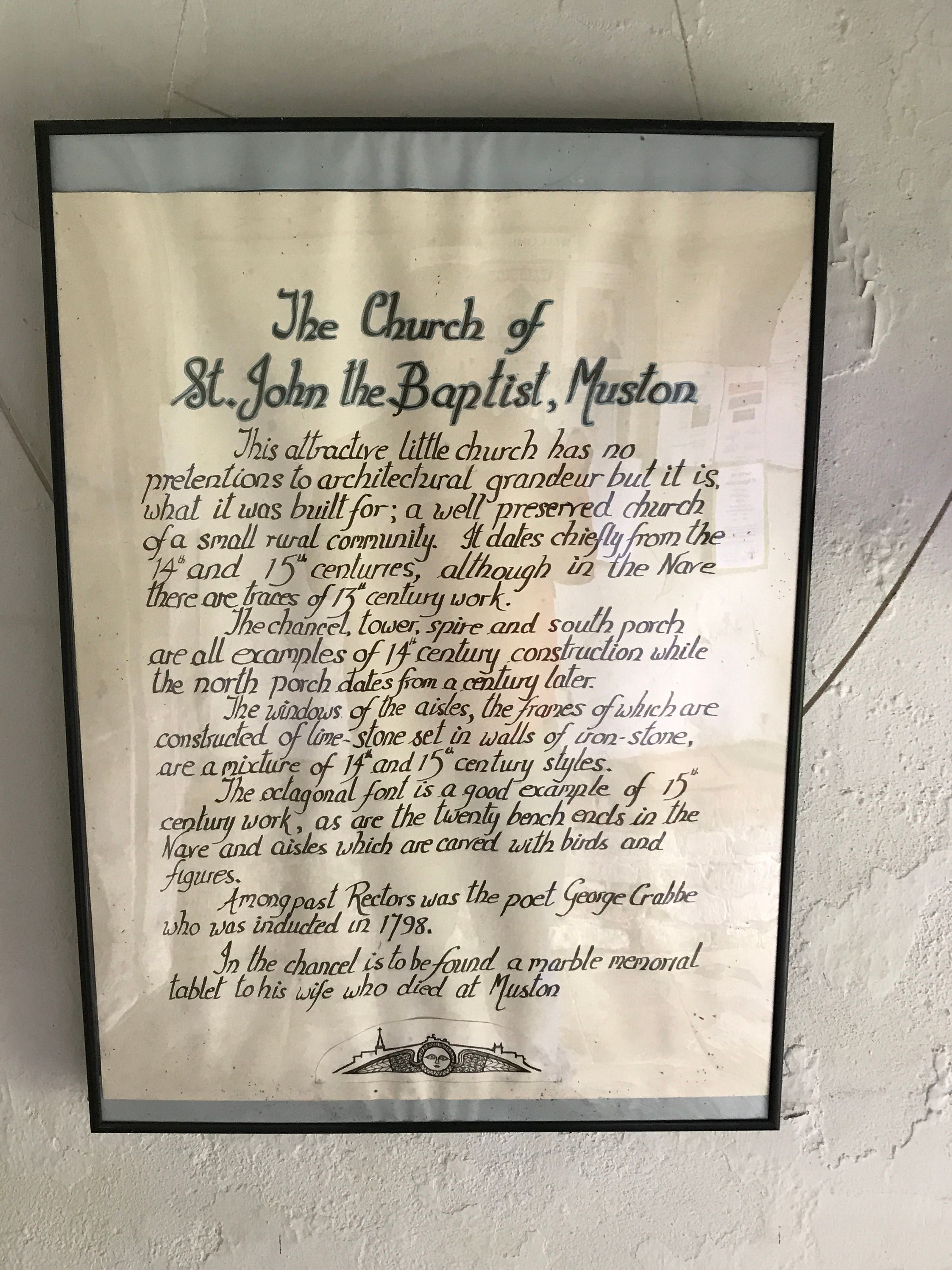
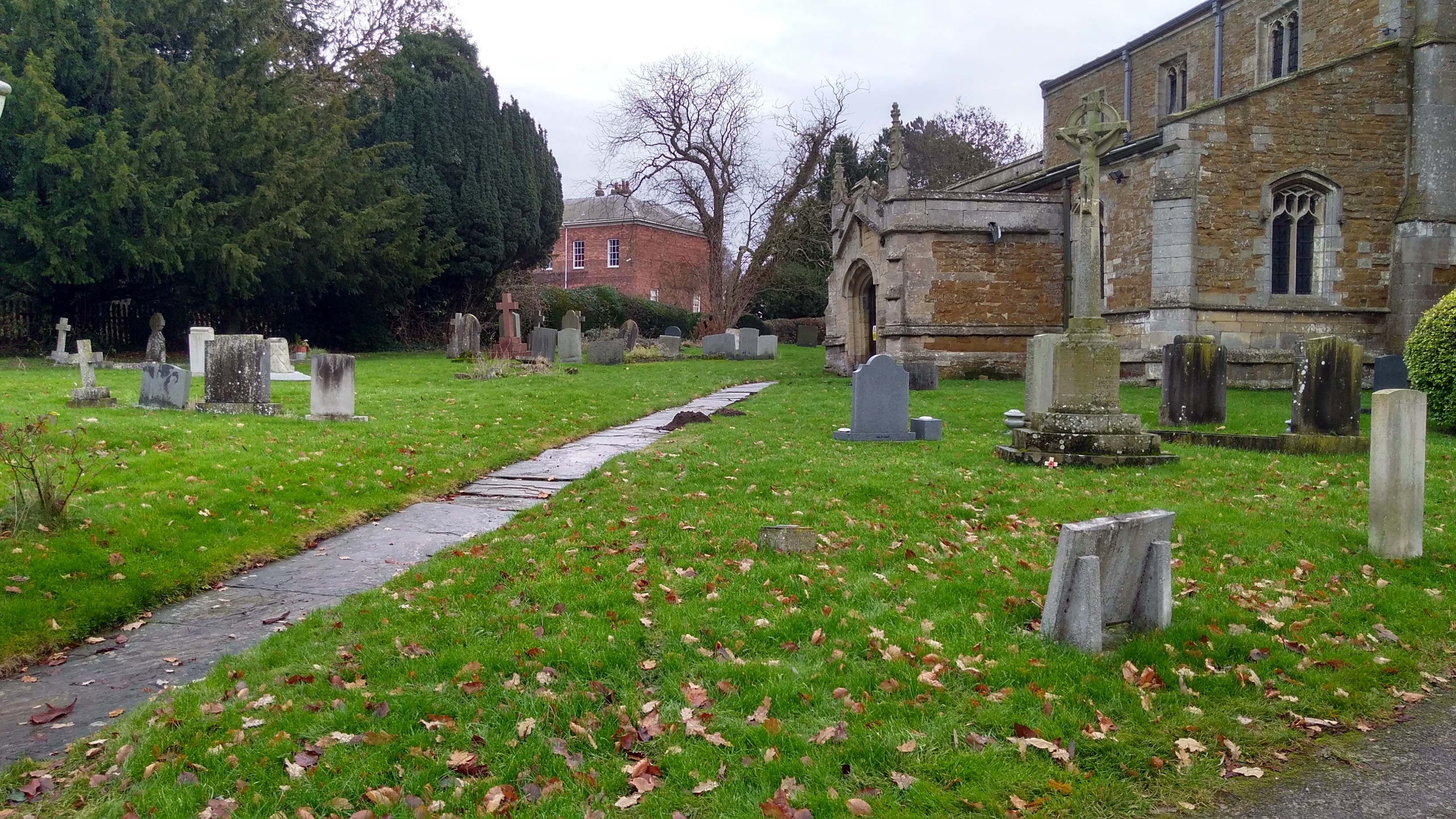
| Location | : | Muston, Melton Borough, England |
| Coordinate | : | 52.9315700, -0.7680600 |
frequently asked questions (FAQ):
-
Where is St John the Baptist Churchyard?
St John the Baptist Churchyard is located at Muston, Melton Borough ,Leicestershire ,England.
-
St John the Baptist Churchyard cemetery's updated grave count on graveviews.com?
142 memorials
-
Where are the coordinates of the St John the Baptist Churchyard?
Latitude: 52.9315700
Longitude: -0.7680600


Nearby Cemetories:
1. St. Mary the Virgin Churchyard
Bottesford, Melton Borough, England
Coordinate: 52.9434270, -0.8001460
2. St. Lawrence Churchyard
Sedgebrook, South Kesteven District, England
Coordinate: 52.9329460, -0.7256530
3. St James Churchyard
Allington, South Kesteven District, England
Coordinate: 52.9525695, -0.7245301
4. Belvoir Priory
Bottesford, Melton Borough, England
Coordinate: 52.8982090, -0.7825130
5. St Peter Churchyard
Redmile, Melton Borough, England
Coordinate: 52.9113200, -0.8161530
6. St James Churchyard
Woolsthorpe-by-Belvoir, South Kesteven District, England
Coordinate: 52.8957880, -0.7578370
7. Belvoir Castle
Belvoir, Melton Borough, England
Coordinate: 52.8911170, -0.7855620
8. All Saints Churchyard
Barrowby, South Kesteven District, England
Coordinate: 52.9186420, -0.6946810
9. St Mary's Churchyard
Kilvington, Newark and Sherwood District, England
Coordinate: 52.9772500, -0.8092250
10. Barkestone le Vale St Peter & St Paul
Barkestone, Melton Borough, England
Coordinate: 52.9062600, -0.8450200
11. St Peter Churchyard
Foston, South Kesteven District, England
Coordinate: 52.9771630, -0.7227360
12. St Michael & All Angels Churchyard
Harston, Melton Borough, England
Coordinate: 52.8769700, -0.7556000
13. St Swithun Churchyard
Long Bennington, South Kesteven District, England
Coordinate: 52.9856290, -0.7449190
14. St Andrew Churchyard
Denton, South Kesteven District, England
Coordinate: 52.8828830, -0.7151840
15. All Saints Churchyard
Knipton, South Kesteven District, England
Coordinate: 52.8711300, -0.7769400
16. All Saints Churchyard
Westborough, South Kesteven District, England
Coordinate: 52.9892900, -0.7350100
17. St Mary's Churchyard
Orston, Rushcliffe Borough, England
Coordinate: 52.9622500, -0.8560300
18. St Peter's Churchyard
Flawborough, Rushcliffe Borough, England
Coordinate: 52.9773700, -0.8365800
19. St Sebastian Churchyard
Great Gonerby, South Kesteven District, England
Coordinate: 52.9329260, -0.6657700
20. St. Helen's Churchyard
Plungar, Melton Borough, England
Coordinate: 52.8986260, -0.8569390
21. St Mary and St Peter Churchyard
Harlaxton, South Kesteven District, England
Coordinate: 52.8836860, -0.6895640
22. All Saints Churchyard
Granby, Rushcliffe Borough, England
Coordinate: 52.9180770, -0.8847700
23. St Mary & All Saints Churchyard
Shelton, Rushcliffe Borough, England
Coordinate: 52.9932200, -0.8389300
24. St Botolph & St John Baptist Churchyard
Croxton Kerrial, Melton Borough, England
Coordinate: 52.8565120, -0.7608620