
| Memorials | : | 0 |
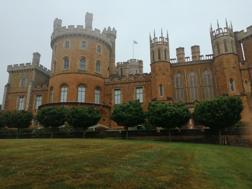
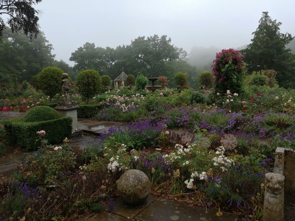
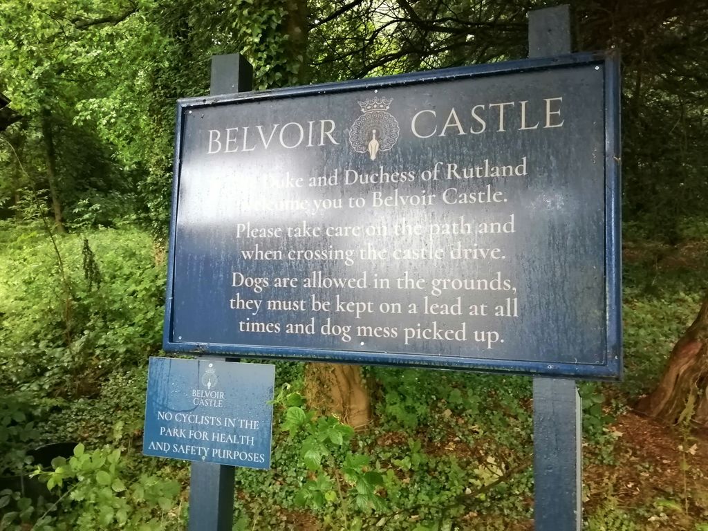
| Location | : | Belvoir, Melton Borough, England |
| Coordinate | : | 52.8911170, -0.7855620 |
| Description | : | The mausoleum stands at the end of an avenue of cherry trees (formerly laurels, yews and firs). It was built in the Norman style to match that of the original castle. The exterior of the building is relatively plain but inside it has a theatrically contrived sequence of spaces leading up to the monumental tomb of Elizabeth Howard at the far end. This was designed by Matthew Cotes Wyatt and incorporates a marble figure of the Duchess, carved in the round, rising towards the cloud-filled heavens from which the four infants who had pre-deceased her lean down holding out their... Read More |
frequently asked questions (FAQ):
-
Where is Belvoir Castle?
Belvoir Castle is located at Belvoir, Melton Borough ,Leicestershire , NG32 1PEEngland.
-
Belvoir Castle cemetery's updated grave count on graveviews.com?
0 memorials
-
Where are the coordinates of the Belvoir Castle?
Latitude: 52.8911170
Longitude: -0.7855620
Nearby Cemetories:
1. Belvoir Priory
Bottesford, Melton Borough, England
Coordinate: 52.8982090, -0.7825130
2. St James Churchyard
Woolsthorpe-by-Belvoir, South Kesteven District, England
Coordinate: 52.8957880, -0.7578370
3. All Saints Churchyard
Knipton, South Kesteven District, England
Coordinate: 52.8711300, -0.7769400
4. St Michael & All Angels Churchyard
Harston, Melton Borough, England
Coordinate: 52.8769700, -0.7556000
5. St Peter Churchyard
Redmile, Melton Borough, England
Coordinate: 52.9113200, -0.8161530
6. St Guthlac Churchyard
Branston, Melton Borough, England
Coordinate: 52.8570750, -0.7988980
7. St Botolph & St John Baptist Churchyard
Croxton Kerrial, Melton Borough, England
Coordinate: 52.8565120, -0.7608620
8. Barkestone le Vale St Peter & St Paul
Barkestone, Melton Borough, England
Coordinate: 52.9062600, -0.8450200
9. Eaton Cemetery
Eaton, Melton Borough, England
Coordinate: 52.8544070, -0.8174640
10. St John the Baptist Churchyard
Muston, Melton Borough, England
Coordinate: 52.9315700, -0.7680600
11. St Denys Churchyard
Eaton, Melton Borough, England
Coordinate: 52.8530490, -0.8164422
12. St Andrew Churchyard
Denton, South Kesteven District, England
Coordinate: 52.8828830, -0.7151840
13. St. Helen's Churchyard
Plungar, Melton Borough, England
Coordinate: 52.8986260, -0.8569390
14. St. Guthlac's Churchyard
Stathern, Melton Borough, England
Coordinate: 52.8707708, -0.8528169
15. Croxton Abbey
Croxton Kerrial, Melton Borough, England
Coordinate: 52.8398910, -0.7786310
16. St. Mary the Virgin Churchyard
Bottesford, Melton Borough, England
Coordinate: 52.9434270, -0.8001460
17. St. Lawrence Churchyard
Sedgebrook, South Kesteven District, England
Coordinate: 52.9329460, -0.7256530
18. St Michael and All Angels Churchyard
Eastwell, Melton Borough, England
Coordinate: 52.8483680, -0.8508990
19. St Mary and St Peter Churchyard
Harlaxton, South Kesteven District, England
Coordinate: 52.8836860, -0.6895640
20. All Saints Churchyard
Barrowby, South Kesteven District, England
Coordinate: 52.9186420, -0.6946810
21. All Saints Churchyard
Granby, Rushcliffe Borough, England
Coordinate: 52.9180770, -0.8847700
22. St Mary the Virgin Churchyard
Harby, Melton Borough, England
Coordinate: 52.8739600, -0.8912030
23. St Peter's Churchyard
Saltby, Melton Borough, England
Coordinate: 52.8298400, -0.7378900
24. St. Deny's Churchyard
Goadby Marwood, Melton Borough, England
Coordinate: 52.8293300, -0.8447300