
| Memorials | : | 0 |
| Location | : | Campsey Ash, Suffolk Coastal District, England |
| Coordinate | : | 52.1520000, 1.4040000 |
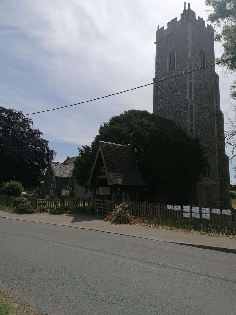
| Description | : | Built in 1322 with a 76 foot wooden spire. Benefactors and patrons included Thomas de Brotherton and the Mowbray family, Viscount Ullswater. |
frequently asked questions (FAQ):
-
Where is St John the Baptist Churchyard?
St John the Baptist Churchyard is located at B10748 at Ash Road Campsey Ash, Suffolk Coastal District ,Suffolk ,England.
-
St John the Baptist Churchyard cemetery's updated grave count on graveviews.com?
0 memorials
-
Where are the coordinates of the St John the Baptist Churchyard?
Latitude: 52.1520000
Longitude: 1.4040000
Nearby Cemetories:
1. Campsey Priory
Campsey Ash, Suffolk Coastal District, England
Coordinate: 52.1396150, 1.3866000
2. St Andrew Churchyard
Marlesford, Suffolk Coastal District, England
Coordinate: 52.1741480, 1.3963760
3. St Peter's Churchyard
Blaxhall, Suffolk Coastal District, England
Coordinate: 52.1604450, 1.4442330
4. St Gregory the Great Churchyard
Rendlesham, Suffolk Coastal District, England
Coordinate: 52.1247080, 1.3952270
5. All Saints Churchyard
Hacheston, Suffolk Coastal District, England
Coordinate: 52.1762690, 1.3799570
6. St Andrew at Little Glemham
Little Glemham, Suffolk Coastal District, England
Coordinate: 52.1768530, 1.4305400
7. Saint Michael's Churchyard
Tunstall, Suffolk Coastal District, England
Coordinate: 52.1437250, 1.4524320
8. Tunstall Baptist Chapel Yard
Tunstall, Suffolk Coastal District, England
Coordinate: 52.1437000, 1.4529690
9. St. Peter and St. Paul Churchyard
Pettistree, Suffolk Coastal District, England
Coordinate: 52.1410880, 1.3525270
10. All Saints Church Burial Ground
Eyke, Suffolk Coastal District, England
Coordinate: 52.1156810, 1.3832240
11. Saint Mary Churchyard
Parham, Suffolk Coastal District, England
Coordinate: 52.1944320, 1.3778150
12. Stratford St Andrew Church Burial Ground
Stratford St Andrew, Suffolk Coastal District, England
Coordinate: 52.1892250, 1.4483270
13. St Mary's Church Burial Ground
Farnham, Suffolk Coastal District, England
Coordinate: 52.1872580, 1.4549173
14. All Saints Churchyard
Easton, Suffolk Coastal District, England
Coordinate: 52.1797710, 1.3379830
15. Melton Old Churchyard
Melton, Suffolk Coastal District, England
Coordinate: 52.1125150, 1.3505240
16. St Edmund's Churchyard
Bromeswell, Suffolk Coastal District, England
Coordinate: 52.1064300, 1.3617740
17. Church of All Saints
Great Glemham, Suffolk Coastal District, England
Coordinate: 52.2032710, 1.4230110
18. St Audry's Hospital Chapel Burial Grounds
Melton, Suffolk Coastal District, England
Coordinate: 52.1169050, 1.3321920
19. Saint Mary Churchyard
Dallinghoo, Suffolk Coastal District, England
Coordinate: 52.1465220, 1.3109100
20. St. Peter's Churchyard
Chillesford, Suffolk Coastal District, England
Coordinate: 52.1169420, 1.4787340
21. Priory Church of St Mary Churchyard
Letheringham, Suffolk Coastal District, England
Coordinate: 52.1789530, 1.3164620
22. St Andrew's Churchyard
Bredfield, Suffolk Coastal District, England
Coordinate: 52.1288710, 1.3129440
23. St Andrew the Apostle Churchyard
Melton, Suffolk Coastal District, England
Coordinate: 52.1065910, 1.3336210
24. Charsfield Baptist Church
Charsfield, Suffolk Coastal District, England
Coordinate: 52.1590750, 1.3005590