
| Memorials | : | 0 |
| Location | : | Campsey Ash, Suffolk Coastal District, England |
| Coordinate | : | 52.1396150, 1.3866000 |
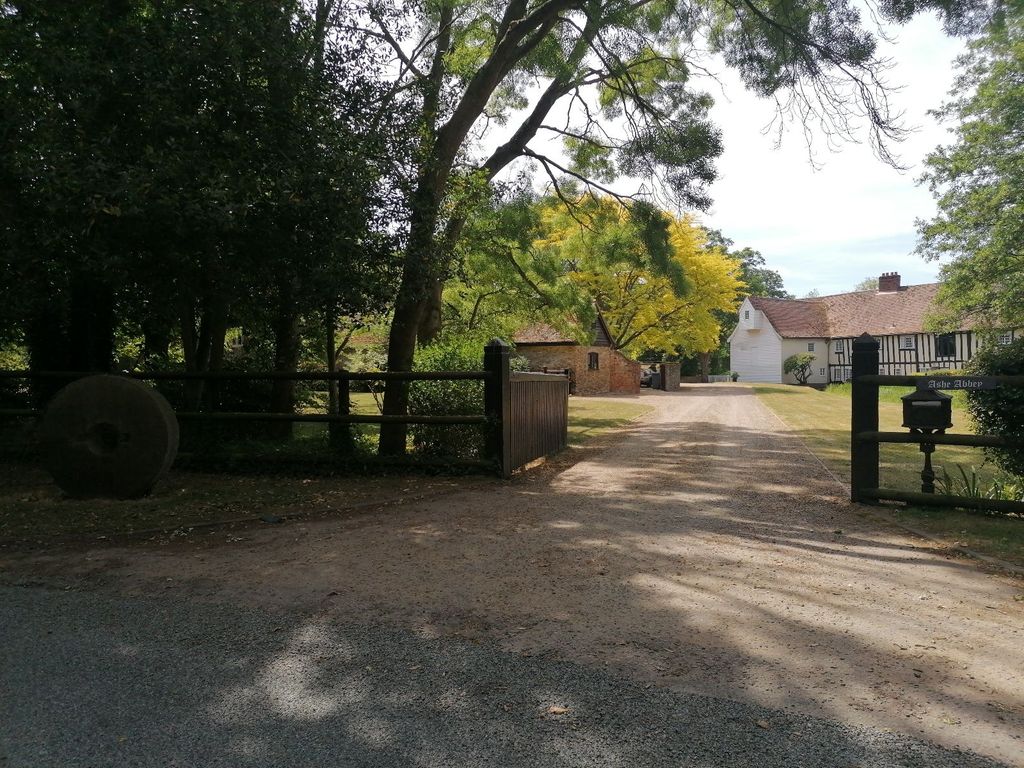
| Description | : | The Priory of Campsey, or Campsey Ash, was founded in 1195 by Theobald de Valoines, who gave the estate for the parish to his two sisters, Joan and Agnes, for the purpose of building a monastery in the honour of the Blessed Virgin. Joan became the first prioress, with Agnes succeeding her. King John Lackland confirmed the grant in January of 1204. Additional benefactors and patrons of interest include Simon de Brunna and John Le'Strange of Huntstanton, Robert de Ufford, Thomas de Hereford, Maud of Ulster, Roger de Boys. Elizabeth Buttry was the strict, stingy prioress at the visitation of... Read More |
frequently asked questions (FAQ):
-
Where is Campsey Priory?
Campsey Priory is located at Loudham Hall Road near Decoy Pond Campsey Ash, Suffolk Coastal District ,Suffolk ,England.
-
Campsey Priory cemetery's updated grave count on graveviews.com?
0 memorials
-
Where are the coordinates of the Campsey Priory?
Latitude: 52.1396150
Longitude: 1.3866000
Nearby Cemetories:
1. St Gregory the Great Churchyard
Rendlesham, Suffolk Coastal District, England
Coordinate: 52.1247080, 1.3952270
2. St John the Baptist Churchyard
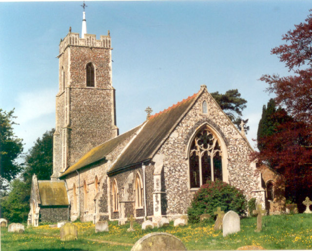
Campsey Ash, Suffolk Coastal District, England
Coordinate: 52.1520000, 1.4040000
3. St. Peter and St. Paul Churchyard
Pettistree, Suffolk Coastal District, England
Coordinate: 52.1410880, 1.3525270
4. All Saints Church Burial Ground
Eyke, Suffolk Coastal District, England
Coordinate: 52.1156810, 1.3832240
5. Melton Old Churchyard
Melton, Suffolk Coastal District, England
Coordinate: 52.1125150, 1.3505240
6. St Andrew Churchyard
Marlesford, Suffolk Coastal District, England
Coordinate: 52.1741480, 1.3963760
7. St Edmund's Churchyard
Bromeswell, Suffolk Coastal District, England
Coordinate: 52.1064300, 1.3617740
8. All Saints Churchyard
Hacheston, Suffolk Coastal District, England
Coordinate: 52.1762690, 1.3799570
9. St Audry's Hospital Chapel Burial Grounds
Melton, Suffolk Coastal District, England
Coordinate: 52.1169050, 1.3321920
10. Saint Michael's Churchyard
Tunstall, Suffolk Coastal District, England
Coordinate: 52.1437250, 1.4524320
11. Tunstall Baptist Chapel Yard
Tunstall, Suffolk Coastal District, England
Coordinate: 52.1437000, 1.4529690
12. St Peter's Churchyard
Blaxhall, Suffolk Coastal District, England
Coordinate: 52.1604450, 1.4442330
13. St Andrew at Little Glemham
Little Glemham, Suffolk Coastal District, England
Coordinate: 52.1768530, 1.4305400
14. St Andrew the Apostle Churchyard
Melton, Suffolk Coastal District, England
Coordinate: 52.1065910, 1.3336210
15. St Andrew's Churchyard
Bredfield, Suffolk Coastal District, England
Coordinate: 52.1288710, 1.3129440
16. Saint Mary Churchyard
Dallinghoo, Suffolk Coastal District, England
Coordinate: 52.1465220, 1.3109100
17. All Saints Churchyard
Easton, Suffolk Coastal District, England
Coordinate: 52.1797710, 1.3379830
18. Saint Mary Churchyard
Parham, Suffolk Coastal District, England
Coordinate: 52.1944320, 1.3778150
19. Charsfield Baptist Church
Charsfield, Suffolk Coastal District, England
Coordinate: 52.1590750, 1.3005590
20. Priory Church of St Mary Churchyard
Letheringham, Suffolk Coastal District, England
Coordinate: 52.1789530, 1.3164620
21. St Michael Churchyard
Boulge, Suffolk Coastal District, England
Coordinate: 52.1280920, 1.2918290
22. St Peter Churchyard
Charsfield, Suffolk Coastal District, England
Coordinate: 52.1614360, 1.2945540
23. St. Peter's Churchyard
Chillesford, Suffolk Coastal District, England
Coordinate: 52.1169420, 1.4787340
24. Stratford St Andrew Church Burial Ground
Stratford St Andrew, Suffolk Coastal District, England
Coordinate: 52.1892250, 1.4483270