
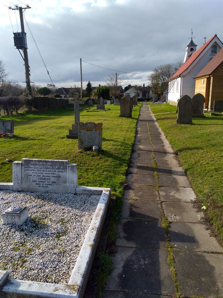
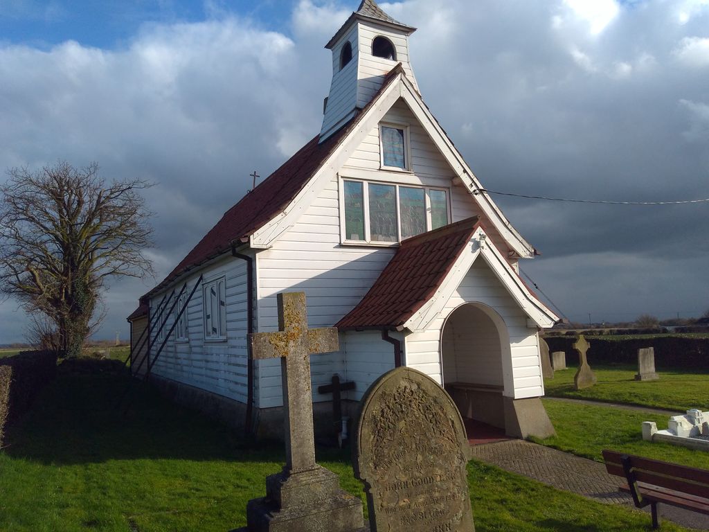
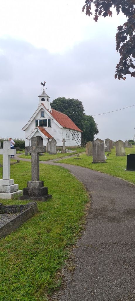
| Memorials | : | 41 |
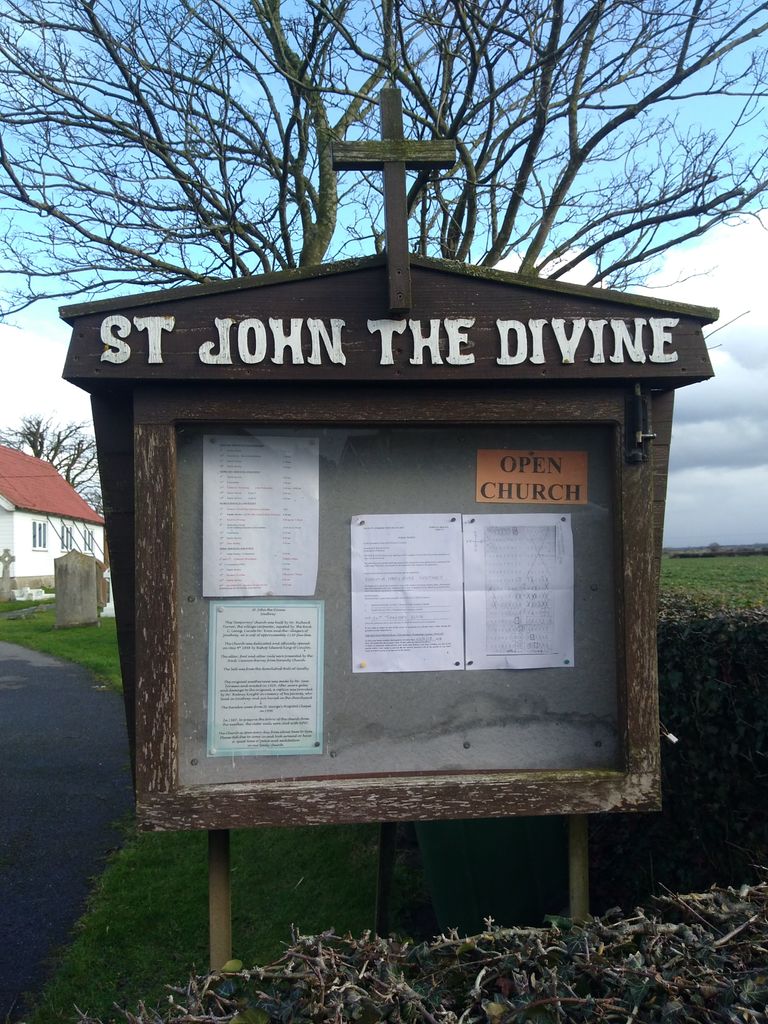
| Location | : | Southrey, West Lindsey District, England |
| Coordinate | : | 53.1843135, -0.2972542 |
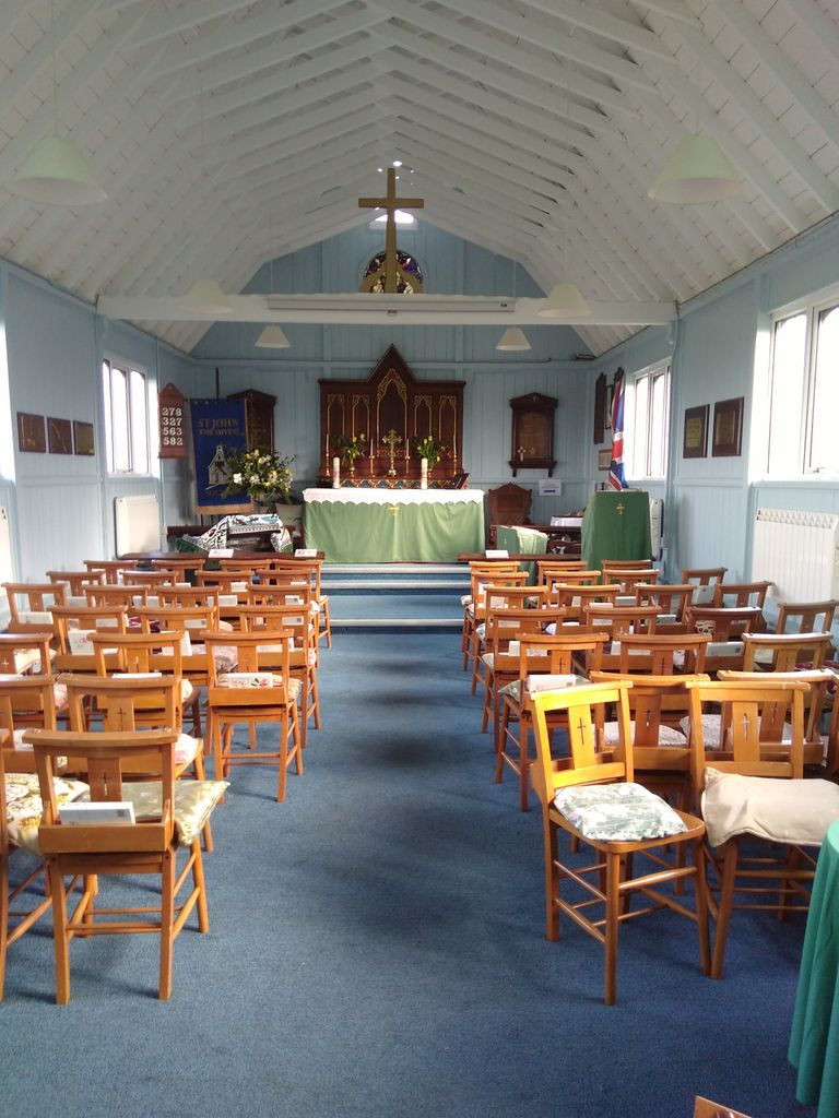
| Description | : | A rare white wooden clad church in a remote Lincolnshire village |
frequently asked questions (FAQ):
-
Where is St. John the Devine Churchyard?
St. John the Devine Churchyard is located at Southrey, West Lindsey District ,Lincolnshire ,England.
-
St. John the Devine Churchyard cemetery's updated grave count on graveviews.com?
41 memorials
-
Where are the coordinates of the St. John the Devine Churchyard?
Latitude: 53.1843135
Longitude: -0.2972542
Nearby Cemetories:
1. Bardney Cemetery
Bardney, West Lindsey District, England
Coordinate: 53.2078350, -0.3208830
2. St. Lawrence Churchyard
Bardney, West Lindsey District, England
Coordinate: 53.2095580, -0.3254380
3. St. Margaret's Churchyard
Bucknall, East Lindsey District, England
Coordinate: 53.2039920, -0.2513250
4. Bardney Abbey
Bardney, West Lindsey District, England
Coordinate: 53.2204000, -0.3336000
5. All Saints Churchyard
Horsington, East Lindsey District, England
Coordinate: 53.2023100, -0.2160600
6. All Saints Churchyard
Gautby, East Lindsey District, England
Coordinate: 53.2359800, -0.2413800
7. St Andrew's Churchyard
Bardney, West Lindsey District, England
Coordinate: 53.2442000, -0.3351800
8. St. Leonard's Without Churchyard
Kirkstead, East Lindsey District, England
Coordinate: 53.1361800, -0.2224600
9. All Saints Churchyard
Nocton, North Kesteven District, England
Coordinate: 53.1637001, -0.4151000
10. St. Andrew Churchyard
Potterhanworth, North Kesteven District, England
Coordinate: 53.1814000, -0.4229000
11. St Peters Churchyard
Dunston, North Kesteven District, England
Coordinate: 53.1529600, -0.4120730
12. St. Andrew's Churchyard
Timberland, North Kesteven District, England
Coordinate: 53.1095985, -0.3267715
13. St. Andrew's Churchyard
Timberland, North Kesteven District, England
Coordinate: 53.1095985, -0.3267715
14. St Wilfrid Churchyard
Metheringham, North Kesteven District, England
Coordinate: 53.1380350, -0.4016960
15. St. Andrew's Churchyard
Apley, West Lindsey District, England
Coordinate: 53.2613400, -0.3390200
16. St. Oswald's Churchyard
Blankney, North Kesteven District, England
Coordinate: 53.1264910, -0.4051300
17. St Oswald Churchyard
Walcott, North Kesteven District, England
Coordinate: 53.0945800, -0.3125240
18. St. Oswald Churchyard
Walcott, North Kesteven District, England
Coordinate: 53.0944560, -0.3128500
19. St Margarets Churchyard
Langton, East Lindsey District, England
Coordinate: 53.2034275, -0.1490403
20. Holy Cross Churchyard
Kirkby Green, North Kesteven District, England
Coordinate: 53.1062300, -0.3808000
21. St. Giles' Churchyard
Langton by Wragby, East Lindsey District, England
Coordinate: 53.2764400, -0.2777700
22. St. Edward's Churchyard
Barlings, West Lindsey District, England
Coordinate: 53.2600000, -0.3890000
23. St. Clement's Churchyard
Fiskerton, West Lindsey District, England
Coordinate: 53.2345500, -0.4315200
24. St. Helen's Churchyard
Edlington, East Lindsey District, England
Coordinate: 53.2260200, -0.1536400