
| Memorials | : | 0 |
| Location | : | Allerdale Borough, England |
| Coordinate | : | 54.5926430, -3.0745390 |
frequently asked questions (FAQ):
-
Where is St Johns in the Vale Churchyard?
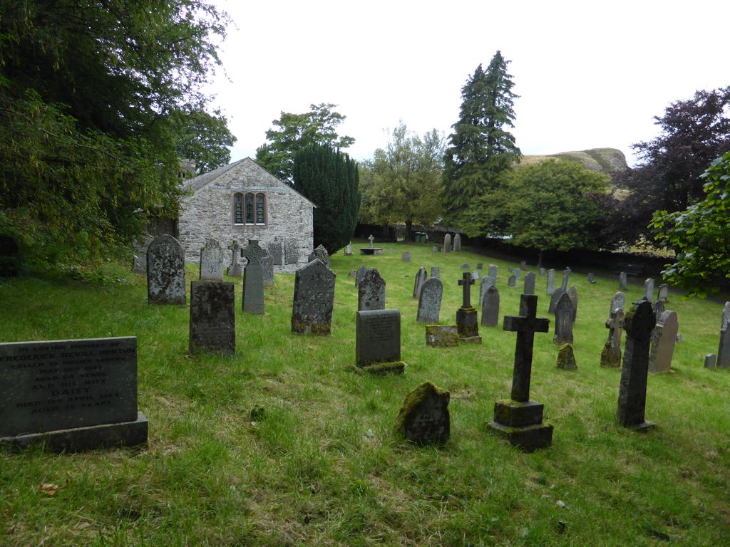
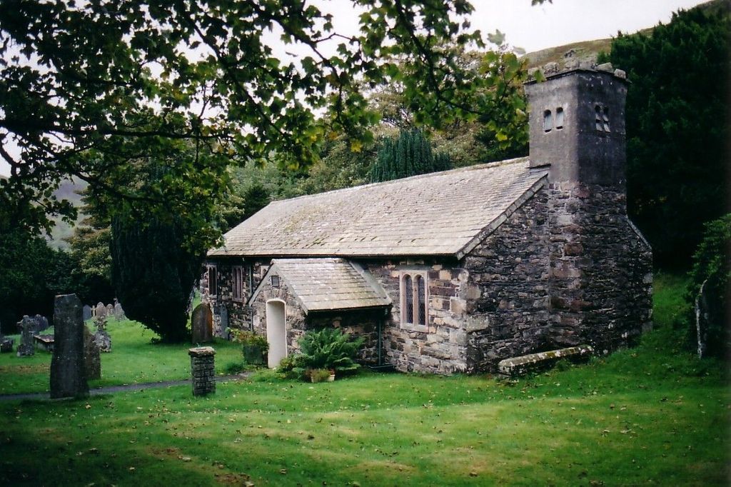
St Johns in the Vale Churchyard is located at St. John in the Vale Allerdale Borough ,Cumbria ,England.
-
St Johns in the Vale Churchyard cemetery's updated grave count on graveviews.com?
0 memorials
-
Where are the coordinates of the St Johns in the Vale Churchyard?
Latitude: 54.5926430
Longitude: -3.0745390
Nearby Cemetories:
1. St. Mary Churchyard
Threlkeld, Eden District, England
Coordinate: 54.6188430, -3.0518450
2. St John Churchyard
Keswick, Allerdale Borough, England
Coordinate: 54.5984720, -3.1347830
3. Crosthwaite Churchyard
Great Crosthwaite, Allerdale Borough, England
Coordinate: 54.6082290, -3.1511830
4. Above Derwent War Memorial
Keswick, Allerdale Borough, England
Coordinate: 54.6028000, -3.1753500
5. Newlands Churchyard
Above Derwent, Allerdale Borough, England
Coordinate: 54.5636000, -3.1924900
6. St Mary's Churchyard
Thornthwaite, Allerdale Borough, England
Coordinate: 54.6181000, -3.1994700
7. Matterdale Churchyard
Matterdale, Eden District, England
Coordinate: 54.5932930, -2.9389820
8. Matterdale Churchyard Extension
Matterdale, Eden District, England
Coordinate: 54.5944700, -2.9385260
9. Wythburn Churchyard
Keswick, Allerdale Borough, England
Coordinate: 54.5131190, -3.0451030
10. St. Andrew's Churchyard
Borrowdale, Allerdale Borough, England
Coordinate: 54.5160010, -3.1473890
11. St Kentigern Churchyard
Mungrisdale, Eden District, England
Coordinate: 54.6648230, -2.9880510
12. St. Bega's Churchyard
Bassenthwaite, Allerdale Borough, England
Coordinate: 54.6479300, -3.1999200
13. St Patrick Churchyard
Patterdale, Eden District, England
Coordinate: 54.5366580, -2.9394790
14. St John Churchyard
Bassenthwaite, Allerdale Borough, England
Coordinate: 54.6732270, -3.1972350
15. All Saints Churchyard
Watermillock, Eden District, England
Coordinate: 54.5987500, -2.8811030
16. United Reformed Churchyard
Penruddock, Eden District, England
Coordinate: 54.6391750, -2.8915670
17. St. Peter's Churchyard
Martindale, Eden District, England
Coordinate: 54.5644170, -2.8736600
18. St Martin Churchyard
Martindale, Eden District, England
Coordinate: 54.5576910, -2.8761900
19. St. Margaret's Churchyard
Allerdale Borough, England
Coordinate: 54.6594846, -3.2573294
20. Grasmere Cemetery
Grasmere, South Lakeland District, England
Coordinate: 54.4659020, -3.0221410
21. St Oswald Churchyard
Grasmere, South Lakeland District, England
Coordinate: 54.4574260, -3.0237290
22. St. Kentigern Churchyard
Castle Sowerby, Eden District, England
Coordinate: 54.7164180, -2.9635500
23. St. Cuthbert’s Churchyard
Lorton, Allerdale Borough, England
Coordinate: 54.6219690, -3.3099780
24. Kelbarrow
Grasmere, South Lakeland District, England
Coordinate: 54.4550290, -3.0314230