
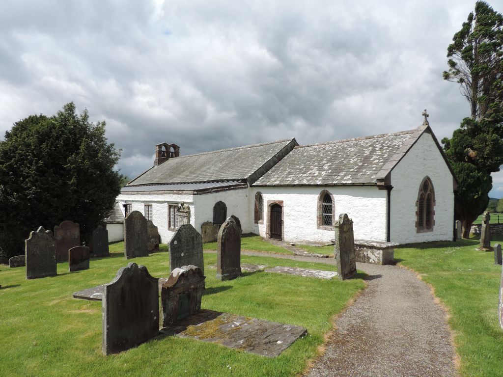
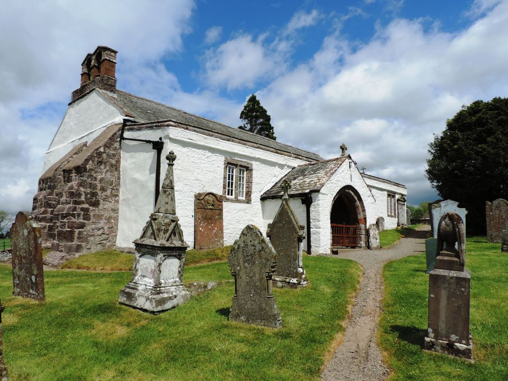
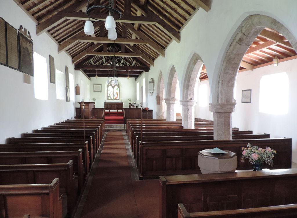
| Memorials | : | 0 |
| Location | : | Castle Sowerby, Eden District, England |
| Coordinate | : | 54.7164180, -2.9635500 |
frequently asked questions (FAQ):
-
Where is St. Kentigern Churchyard?
St. Kentigern Churchyard is located at Castle Sowerby, Eden District ,Cumbria ,England.
-
St. Kentigern Churchyard cemetery's updated grave count on graveviews.com?
0 memorials
-
Where are the coordinates of the St. Kentigern Churchyard?
Latitude: 54.7164180
Longitude: -2.9635500
Nearby Cemetories:
1. St. Mary's Churchyard
Sebergham, Allerdale Borough, England
Coordinate: 54.7676720, -2.9898510
2. St Kentigern Churchyard
Mungrisdale, Eden District, England
Coordinate: 54.6648230, -2.9880510
3. St. Michael's Churchyard
Skelton, Eden District, England
Coordinate: 54.7106900, -2.8713760
4. St. Kentigern Churchyard
Caldbeck, Allerdale Borough, England
Coordinate: 54.7489630, -3.0496700
5. St. James Churchyard
Hutton, Eden District, England
Coordinate: 54.7200100, -2.8410400
6. Christ Church Cemetery
Ivegill, Eden District, England
Coordinate: 54.7810300, -2.9045330
7. St. Andrew Churchyard
Greystoke, Eden District, England
Coordinate: 54.6690130, -2.8645240
8. All Saints Churchyard
Dalston, City of Carlisle, England
Coordinate: 54.8011550, -2.9673270
9. United Reformed Churchyard
Penruddock, Eden District, England
Coordinate: 54.6391750, -2.8915670
10. St. John Churchyard
Newton Reigny, Eden District, England
Coordinate: 54.6767560, -2.8088380
11. St John the Evangelist Churchyard
Hesket, Eden District, England
Coordinate: 54.7268660, -2.7821200
12. St. Mary Churchyard
Threlkeld, Eden District, England
Coordinate: 54.6188430, -3.0518450
13. St Andrew's Churchyard
Dacre, Eden District, England
Coordinate: 54.6319910, -2.8380460
14. St. Mary's Churchyard
Hesket, Eden District, England
Coordinate: 54.7922670, -2.8160320
15. Holy Trinity Churchyard Rosley
Westward, Allerdale Borough, England
Coordinate: 54.8189050, -3.0666484
16. Matterdale Churchyard Extension
Matterdale, Eden District, England
Coordinate: 54.5944700, -2.9385260
17. St Hilda Churchyard
Westward, Allerdale Borough, England
Coordinate: 54.7934590, -3.1316380
18. Matterdale Churchyard
Matterdale, Eden District, England
Coordinate: 54.5932930, -2.9389820
19. St Mary's Churchyard
Wreay, Eden District, England
Coordinate: 54.8319630, -2.8807780
20. St. Michael's Churchyard
Dalston, City of Carlisle, England
Coordinate: 54.8422650, -2.9836400
21. St. James Churchyard
Uldale, Allerdale Borough, England
Coordinate: 54.7305460, -3.1813050
22. All Saints Churchyard
Watermillock, Eden District, England
Coordinate: 54.5987500, -2.8811030
23. Saint Mary's Church Cemetery
Wreay, Eden District, England
Coordinate: 54.8344500, -2.8824300
24. Christ Church
Penrith, Eden District, England
Coordinate: 54.6678290, -2.7548970