
| Memorials | : | 0 |
| Location | : | Matterdale, Eden District, England |
| Coordinate | : | 54.5944700, -2.9385260 |
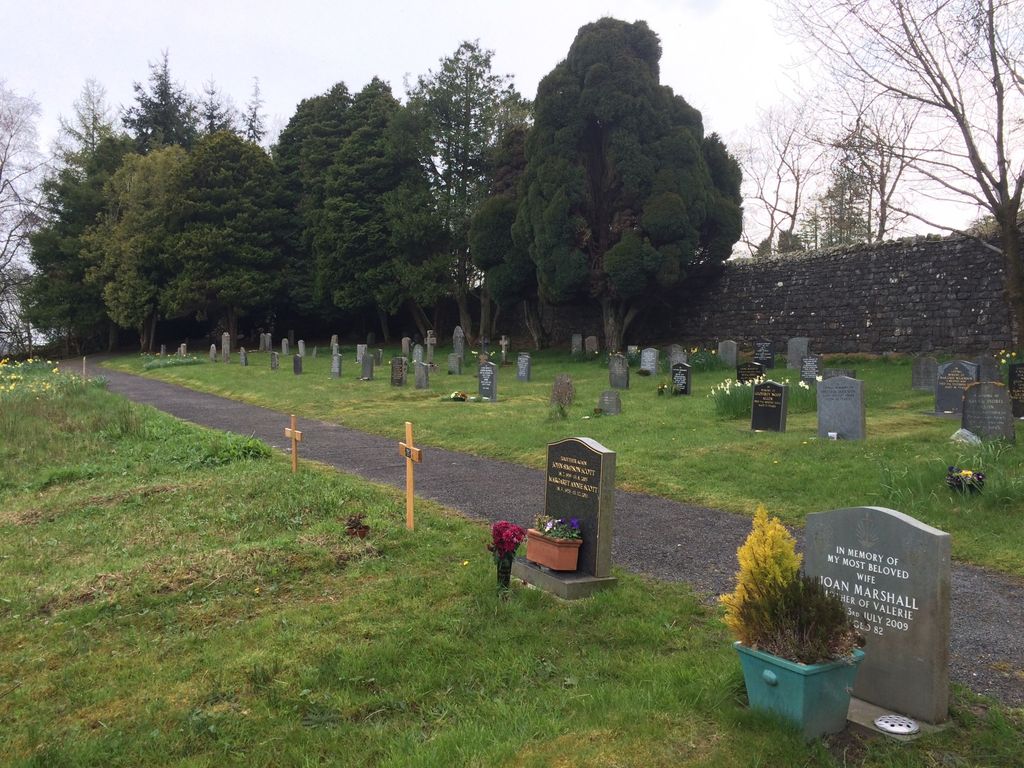
| Description | : | This is a recent extension to Matterdale Churchyard, about 100m north on the A5091 Means Brow. As it is separate from the original churchyard, please don't combine this with the original Matterdale Churchyard, and be sure to record memorials appropriately. |
frequently asked questions (FAQ):
-
Where is Matterdale Churchyard Extension?
Matterdale Churchyard Extension is located at Matterdale, Eden District ,Cumbria ,England.
-
Matterdale Churchyard Extension cemetery's updated grave count on graveviews.com?
0 memorials
-
Where are the coordinates of the Matterdale Churchyard Extension?
Latitude: 54.5944700
Longitude: -2.9385260
Nearby Cemetories:
1. Matterdale Churchyard
Matterdale, Eden District, England
Coordinate: 54.5932930, -2.9389820
2. All Saints Churchyard
Watermillock, Eden District, England
Coordinate: 54.5987500, -2.8811030
3. St. Peter's Churchyard
Martindale, Eden District, England
Coordinate: 54.5644170, -2.8736600
4. St Martin Churchyard
Martindale, Eden District, England
Coordinate: 54.5576910, -2.8761900
5. United Reformed Churchyard
Penruddock, Eden District, England
Coordinate: 54.6391750, -2.8915670
6. St Patrick Churchyard
Patterdale, Eden District, England
Coordinate: 54.5366580, -2.9394790
7. St Andrew's Churchyard
Dacre, Eden District, England
Coordinate: 54.6319910, -2.8380460
8. St. Mary Churchyard
Threlkeld, Eden District, England
Coordinate: 54.6188430, -3.0518450
9. St Kentigern Churchyard
Mungrisdale, Eden District, England
Coordinate: 54.6648230, -2.9880510
10. St Johns in the Vale Churchyard
Allerdale Borough, England
Coordinate: 54.5926430, -3.0745390
11. St. Andrew Churchyard
Greystoke, Eden District, England
Coordinate: 54.6690130, -2.8645240
12. St. Michael's Churchyard
Barton, Eden District, England
Coordinate: 54.6297980, -2.7949154
13. Wythburn Churchyard
Keswick, Allerdale Borough, England
Coordinate: 54.5131190, -3.0451030
14. Saint Peter's Churchyard
Askham, Eden District, England
Coordinate: 54.6077420, -2.7476530
15. St. John Churchyard
Newton Reigny, Eden District, England
Coordinate: 54.6767560, -2.8088380
16. St. Michael Churchyard
Lowther, Eden District, England
Coordinate: 54.6129190, -2.7462760
17. St John Churchyard
Keswick, Allerdale Borough, England
Coordinate: 54.5984720, -3.1347830
18. St Patrick's Church Roll Of Honour WW1 WW2
Bampton Grange, Eden District, England
Coordinate: 54.5553230, -2.7413750
19. St Patrick Churchyard
Bampton Grange, Eden District, England
Coordinate: 54.5553000, -2.7413640
20. Bampton New Cemetery
Bampton Grange, Eden District, England
Coordinate: 54.5566033, -2.7384797
21. St Patrick Church Cemetery
Bampton Grange, Eden District, England
Coordinate: 54.5565000, -2.7384500
22. St. Michael's Churchyard
Skelton, Eden District, England
Coordinate: 54.7106900, -2.8713760
23. St. Kentigern Churchyard
Castle Sowerby, Eden District, England
Coordinate: 54.7164180, -2.9635500
24. Crosthwaite Churchyard
Great Crosthwaite, Allerdale Borough, England
Coordinate: 54.6082290, -3.1511830