
| Memorials | : | 385 |
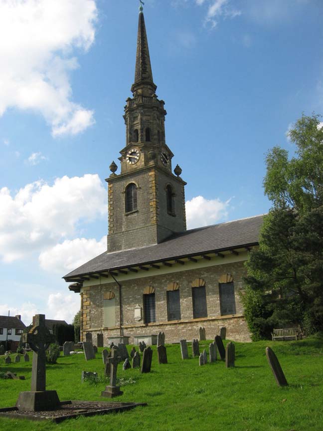
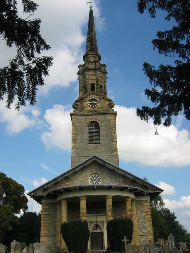
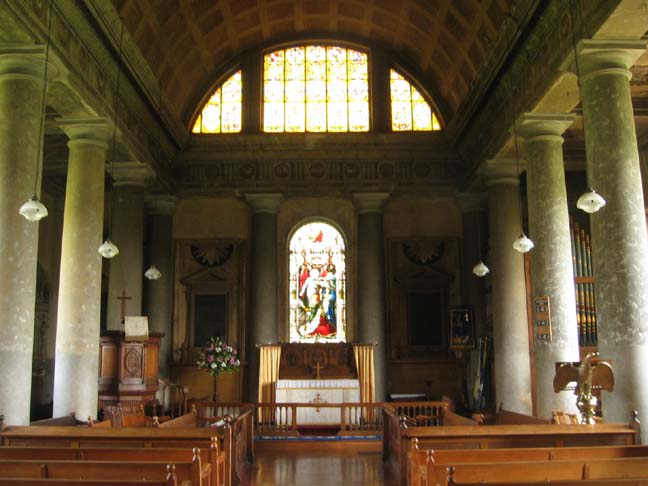
| Location | : | Mereworth, Tonbridge and Malling Borough, England |
| Coordinate | : | 51.2587620, 0.3778260 |
frequently asked questions (FAQ):
-
Where is St Lawrence Churchyard?
St Lawrence Churchyard is located at Mereworth, Tonbridge and Malling Borough ,Kent ,England.
-
St Lawrence Churchyard cemetery's updated grave count on graveviews.com?
8 memorials
-
Where are the coordinates of the St Lawrence Churchyard?
Latitude: 51.2587620
Longitude: 0.3778260
Nearby Cemetories:
1. St. Michael's Churchyard
East Peckham, Tonbridge and Malling Borough, England
Coordinate: 51.2442703, 0.3791970
2. St Dunstan Churchyard
West Peckham, Tonbridge and Malling Borough, England
Coordinate: 51.2486191, 0.3544910
3. Wateringbury Cemetery
Wateringbury, Tonbridge and Malling Borough, England
Coordinate: 51.2561870, 0.4071910
4. St John the Baptist Churchyard
Wateringbury, Tonbridge and Malling Borough, England
Coordinate: 51.2569885, 0.4139180
5. Saint Mary the Virgin Churchyard
Nettlestead, Maidstone Borough, England
Coordinate: 51.2434040, 0.4127770
6. Hadlow Cemetery
Hadlow, Tonbridge and Malling Borough, England
Coordinate: 51.2292860, 0.3468200
7. St. Mary the Virgin Churchyard
West Malling, Tonbridge and Malling Borough, England
Coordinate: 51.2921700, 0.4068400
8. St Michael Churchyard
Offham, Tonbridge and Malling Borough, England
Coordinate: 51.2974968, 0.3801070
9. Teston War Memorial
Teston, Maidstone Borough, England
Coordinate: 51.2550049, 0.4399090
10. St Peter and St Paul Churchyard
Teston, Maidstone Borough, England
Coordinate: 51.2551804, 0.4425540
11. Holy Trinity Churchyard
East Peckham, Tonbridge and Malling Borough, England
Coordinate: 51.2172390, 0.3816010
12. St Mary the Virgin Churchyard
Platt, Tonbridge and Malling Borough, England
Coordinate: 51.2892070, 0.3252260
13. St Peter and St Paul Churchyard
Yalding, Maidstone Borough, England
Coordinate: 51.2245390, 0.4309730
14. St. James the Great Churchyard
East Malling, Tonbridge and Malling Borough, England
Coordinate: 51.2874670, 0.4402040
15. All Saints Churchyard
West Farleigh, Maidstone Borough, England
Coordinate: 51.2548540, 0.4570870
16. Plaxtol War Memorial
Plaxtol, Tonbridge and Malling Borough, England
Coordinate: 51.2592888, 0.2948450
17. Plaxtol Parish Churchyard
Plaxtol, Tonbridge and Malling Borough, England
Coordinate: 51.2593498, 0.2945710
18. St Peter and St Paul Churchyard
Leybourne, Tonbridge and Malling Borough, England
Coordinate: 51.3042520, 0.4222550
19. St Margaret of Antioch Churchyard
Barming, Maidstone Borough, England
Coordinate: 51.2612070, 0.4638390
20. Borough Green Baptist Churchyard
Borough Green, Tonbridge and Malling Borough, England
Coordinate: 51.2916540, 0.3053750
21. Church of the Good Shepherd
Borough Green, Tonbridge and Malling Borough, England
Coordinate: 51.2910300, 0.3037660
22. OMF International UK
Borough Green, Tonbridge and Malling Borough, England
Coordinate: 51.2937286, 0.3066902
23. St Peter ad vincula Churchyard
Ditton, Tonbridge and Malling Borough, England
Coordinate: 51.2958810, 0.4510820
24. St Peter and St Paul Churchyard
Trottiscliffe, Tonbridge and Malling Borough, England
Coordinate: 51.3201520, 0.3612360