
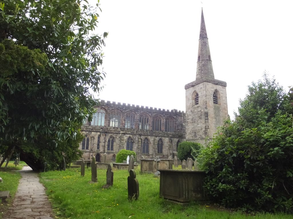
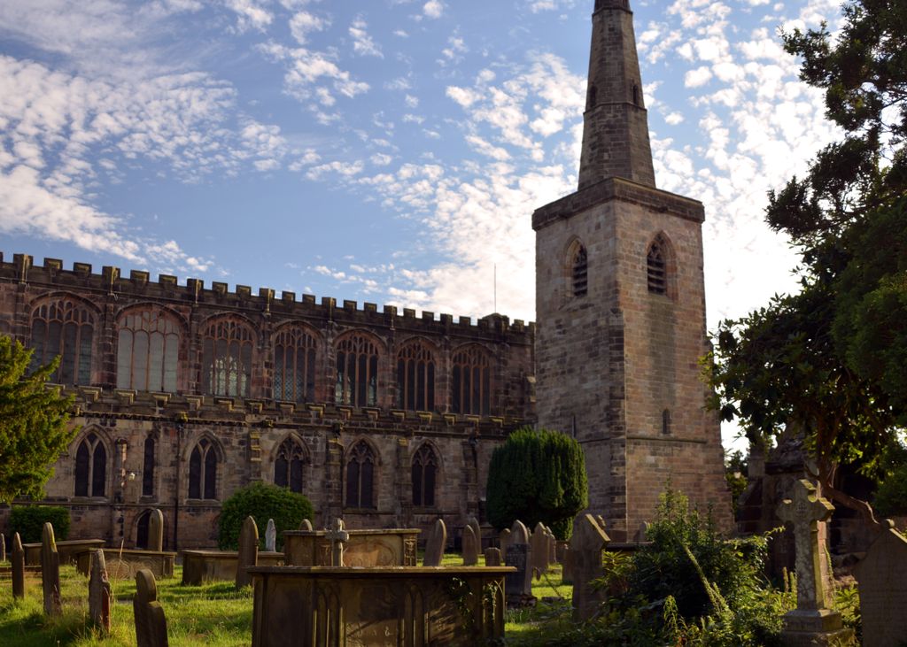
| Memorials | : | 0 |
| Location | : | Astbury, Cheshire East Unitary Authority, England |
| Coordinate | : | 53.1506310, -2.2314410 |
frequently asked questions (FAQ):
-
Where is St Mary Churchyard?
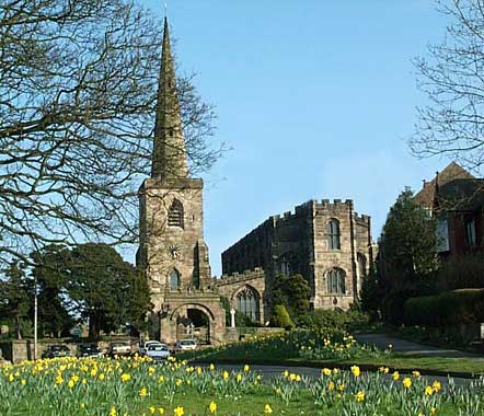
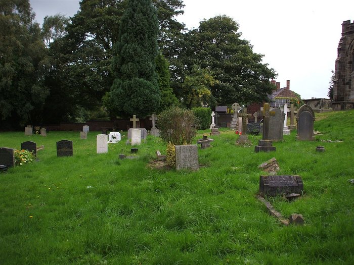
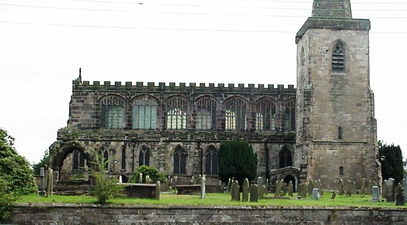
St Mary Churchyard is located at Astbury Village Astbury, Cheshire East Unitary Authority ,Cheshire , CW12 4RQEngland.
-
St Mary Churchyard cemetery's updated grave count on graveviews.com?
0 memorials
-
Where are the coordinates of the St Mary Churchyard?
Latitude: 53.1506310
Longitude: -2.2314410
Nearby Cemetories:
1. Congleton Cemetery
Congleton, Cheshire East Unitary Authority, England
Coordinate: 53.1590430, -2.2112310
2. St Peter's Churchyard
Congleton, Cheshire East Unitary Authority, England
Coordinate: 53.1617900, -2.2115000
3. St John the Evangelist Churchyard
Buglawton, Cheshire East Unitary Authority, England
Coordinate: 53.1701320, -2.1959370
4. St John the Baptist Churchyard
Smallwood, Cheshire East Unitary Authority, England
Coordinate: 53.1381700, -2.2913100
5. St Thomas Churchyard
Mow Cop, Newcastle-Under-Lyme Borough, England
Coordinate: 53.1127280, -2.2101350
6. All Saint's Churchyard
Somerford, Cheshire East Unitary Authority, England
Coordinate: 53.1803580, -2.2786350
7. All Saints Churchyard
Odd Rode, Cheshire East Unitary Authority, England
Coordinate: 53.1142100, -2.2644690
8. St. Lawrence Churchyard
Biddulph, Staffordshire Moorlands District, England
Coordinate: 53.1281320, -2.1659070
9. All Saints Churchyard
Church Lawton, Cheshire East Unitary Authority, England
Coordinate: 53.0987050, -2.2679300
10. St James and St Paul Churchyard
Marton, Cheshire East Unitary Authority, England
Coordinate: 53.2087950, -2.2257460
11. Christ Church Churchyard
Biddulph Moor, Staffordshire Moorlands District, England
Coordinate: 53.1220780, -2.1402320
12. Attwood Cemetery
Kidsgrove, Newcastle-Under-Lyme Borough, England
Coordinate: 53.0889200, -2.2350700
13. St. John's Churchyard
Sandbach Heath, Cheshire East Unitary Authority, England
Coordinate: 53.1506690, -2.3371800
14. St. James the Apostle Churchyard
Newchapel, Newcastle-Under-Lyme Borough, England
Coordinate: 53.0874630, -2.2069790
15. St Oswald Churchyard
Brereton, Cheshire East Unitary Authority, England
Coordinate: 53.1797180, -2.3284870
16. Swettenham Cemetery
Swettenham, Cheshire East Unitary Authority, England
Coordinate: 53.2013150, -2.2996470
17. St Mary Magdalene Churchyard
Alsager, Cheshire East Unitary Authority, England
Coordinate: 53.0960640, -2.3071370
18. Christ Church Churchyard
Alsager, Cheshire East Unitary Authority, England
Coordinate: 53.0977630, -2.3166660
19. St. Mary the Virgin Churchyard
Bosley, Cheshire East Unitary Authority, England
Coordinate: 53.1871110, -2.1241630
20. Sandbach Cemetery
Sandbach, Cheshire East Unitary Authority, England
Coordinate: 53.1410080, -2.3556550
21. St. John the Evangelist Churchyard
Goldenhill, Stoke-on-Trent Unitary Authority, England
Coordinate: 53.0749010, -2.2189830
22. St Martin Churchyard
Talke, Newcastle-Under-Lyme Borough, England
Coordinate: 53.0755440, -2.2618170
23. St Mary Churchyard
Sandbach, Cheshire East Unitary Authority, England
Coordinate: 53.1435380, -2.3610030
24. St Lawrence Churchyard
Rushton Spencer, Staffordshire Moorlands District, England
Coordinate: 53.1556630, -2.0996440