
| Memorials | : | 56 |
| Location | : | Sandhutton, Hambleton District, England |
| Coordinate | : | 54.2325700, -1.4110600 |
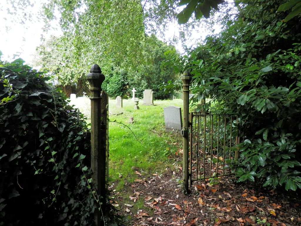
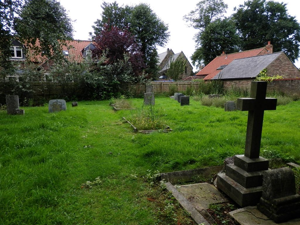
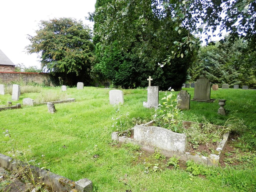
| Description | : | Not to be confused with Sand Hutton, a village in the Ryedale district of North Yorkshire. Sandhutton is a small village and civil parish in the Hambleton district of North Yorkshire, England. It lies about 2 miles (3.2 km) west of Thirsk on the A167. It has been referred to as Hutton; Hutton (Sand); and Sand Hutton. St Leonard's Church has two graveyards - the old one round the church and this new one in a separate location about 50 yards away, down a narrow lane to the East of the old one. |
frequently asked questions (FAQ):
-
Where is St Leonard Church Cemetery?
St Leonard Church Cemetery is located at Sandhutton, Hambleton District ,North Yorkshire ,England.
-
St Leonard Church Cemetery cemetery's updated grave count on graveviews.com?
56 memorials
-
Where are the coordinates of the St Leonard Church Cemetery?
Latitude: 54.2325700
Longitude: -1.4110600
Nearby Cemetories:
1. St Leonard Churchyard
Sandhutton, Hambleton District, England
Coordinate: 54.2326000, -1.4121600
2. St Lawrence Churchyard
Carlton Miniott, Hambleton District, England
Coordinate: 54.2232500, -1.3958700
3. St John Churchyard
Skipton-on-Swale, Hambleton District, England
Coordinate: 54.2130000, -1.4379000
4. St John the Baptist Churchyard
Kirby Wiske, Hambleton District, England
Coordinate: 54.2576320, -1.4238510
5. Thirsk Cemetery
Thirsk, Hambleton District, England
Coordinate: 54.2356140, -1.3493790
6. All Saints Churchyard
Pickhill, Hambleton District, England
Coordinate: 54.2470500, -1.4700700
7. St. Mary's Churchyard
Thirsk, Hambleton District, England
Coordinate: 54.2349200, -1.3454900
8. Friends Burial Ground
Thirsk, Hambleton District, England
Coordinate: 54.2336160, -1.3444510
9. St Wilfrid Churchyard
South Kilvington, Hambleton District, England
Coordinate: 54.2499690, -1.3481640
10. Wesleyan Methodist Burial Ground
Thirsk, Hambleton District, England
Coordinate: 54.2350990, -1.3408244
11. St Oswald Churchyard
Sowerby, Hambleton District, England
Coordinate: 54.2261950, -1.3404430
12. St Leonard Churchyard
Thornton-le-Street, Hambleton District, England
Coordinate: 54.2700040, -1.3653200
13. St James Churchyard
Baldersby, Harrogate Borough, England
Coordinate: 54.1867500, -1.4405600
14. St. Michael and All Angels Churchyard
Maunby, Hambleton District, England
Coordinate: 54.2725530, -1.4606140
15. St Andrew Churchyard
South Otterington, Hambleton District, England
Coordinate: 54.2823100, -1.4311300
16. St. Barnabas Church Cemetery
Thornton-le-Moor, Hambleton District, England
Coordinate: 54.2874720, -1.4011833
17. St Columba Churchyard
Topcliffe, Hambleton District, England
Coordinate: 54.1785070, -1.3892590
18. Topcliffe Cemetery
Topcliffe, Hambleton District, England
Coordinate: 54.1774200, -1.3846100
19. St Michael Churchyard
Kirklington, Hambleton District, England
Coordinate: 54.2242770, -1.5126140
20. St John the Evangelist Churchyard
Dalton, Hambleton District, England
Coordinate: 54.1806400, -1.3341500
21. St. Mary's Churchyard
Wath, Harrogate Borough, England
Coordinate: 54.1889990, -1.5032490
22. St Mary Churchyard
Bagby, Hambleton District, England
Coordinate: 54.2192130, -1.2907820
23. St Michael and All Angels Churchyard
North Otterington, Hambleton District, England
Coordinate: 54.3017300, -1.4438700
24. St Lambert Churchyard
Burneston, Hambleton District, England
Coordinate: 54.2592940, -1.5273040