| Memorials | : | 0 |
| Location | : | Herringfleet, Waveney District, England |
| Coordinate | : | 52.5218820, 1.6493630 |
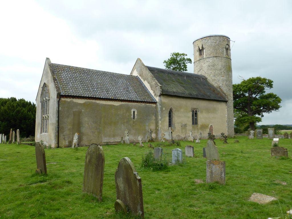
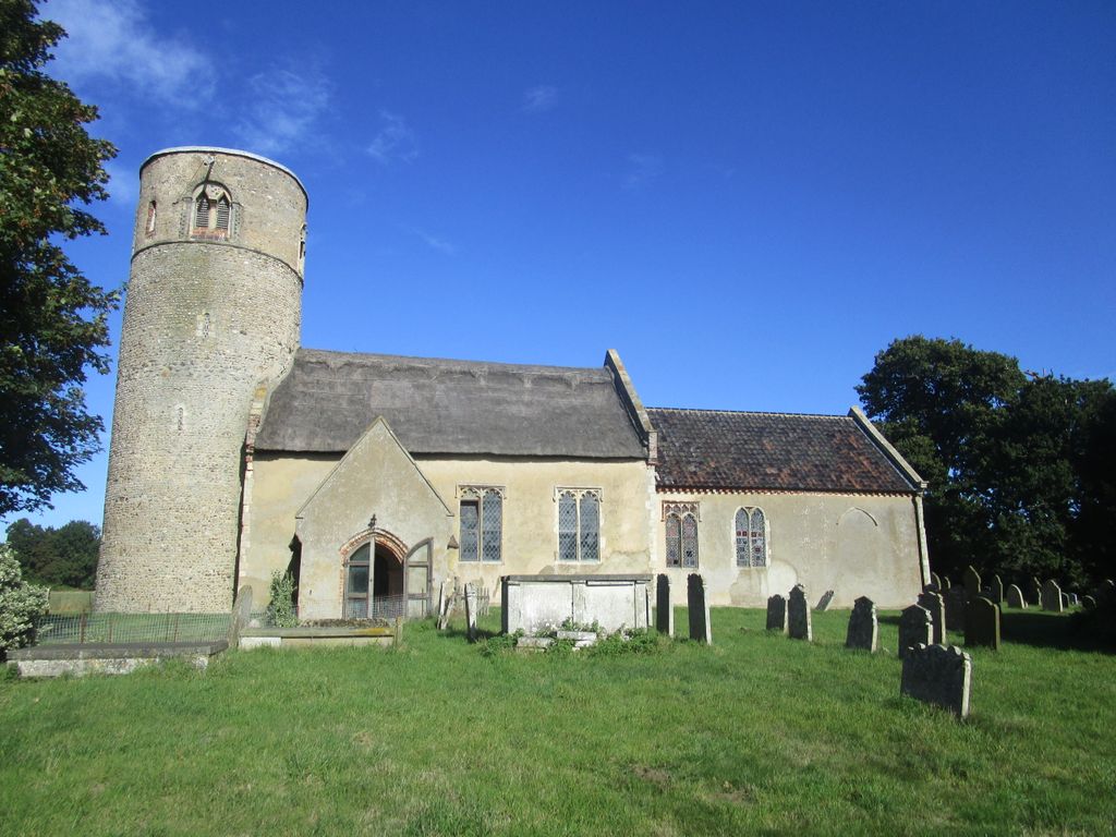
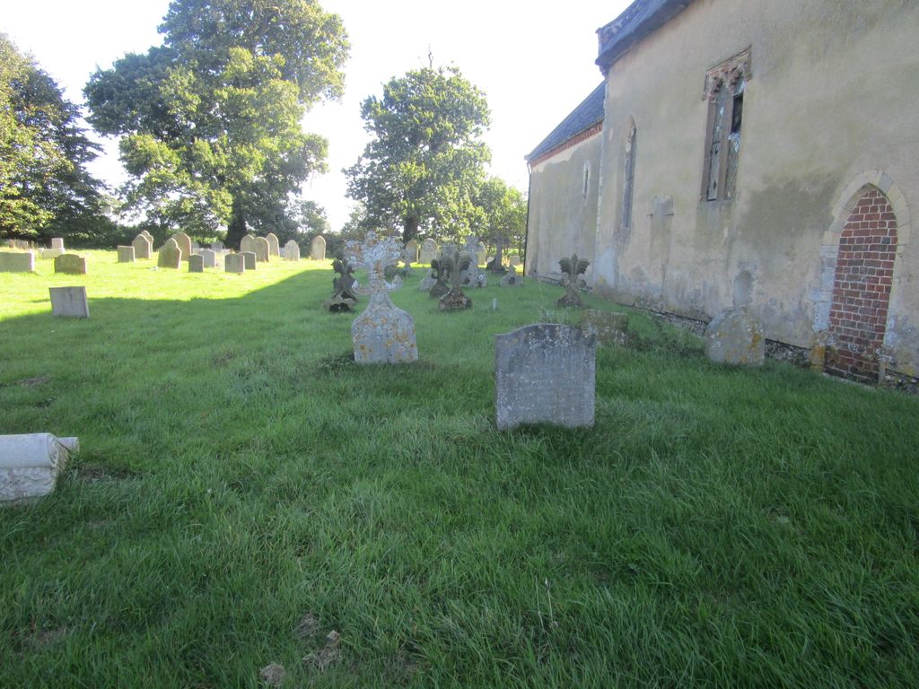
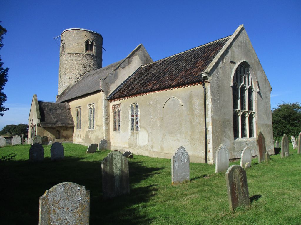
| Description | : | This Norman church stands beside the B1074, looking out over the River Waveney, just on the Suffolk side of the border with Norfolk and between Somerleyton and St Olaves. Inside there is a wonderful collection of stained glass dating from the 14th to the 18th century, mostly imported from Cologne. There are a number of the gravestones that are very hard to read. I have photographed them all so if you think there may be one that should be listed on here please contact me so I can go through them again. |
frequently asked questions (FAQ):
-
Where is St Margaret's Churchyard?
St Margaret's Churchyard is located at Herringfleet, Waveney District ,Suffolk ,England.
-
St Margaret's Churchyard cemetery's updated grave count on graveviews.com?
0 memorials
-
Where are the coordinates of the St Margaret's Churchyard?
Latitude: 52.5218820
Longitude: 1.6493630
Nearby Cemetories:
1. St Mary Churchyard
Somerleyton, Waveney District, England
Coordinate: 52.5157800, 1.6730900
2. St Mary's Parish Churchyard
Ashby, Waveney District, England
Coordinate: 52.5322480, 1.6693690
3. St Edmund's Churchyard
Fritton, Great Yarmouth Borough, England
Coordinate: 52.5430920, 1.6460460
4. St Olave's Priory
Herringfleet, Waveney District, England
Coordinate: 52.5381200, 1.6240290
5. St John the Baptist Churchyard
Lound, Waveney District, England
Coordinate: 52.5310680, 1.6937750
6. St Mary The Virgin Churchyard
Blundeston, Waveney District, England
Coordinate: 52.5151100, 1.7029600
7. St. Mary's Churchyard
Haddiscoe, South Norfolk District, England
Coordinate: 52.5153200, 1.5939300
8. Thorpe-next-Haddiscoe St Mathias Churchyard
Haddiscoe, South Norfolk District, England
Coordinate: 52.5261880, 1.5896380
9. St Mary's Churchyard
Burgh St Peter, South Norfolk District, England
Coordinate: 52.4840860, 1.6710830
10. All Saints Churchyard
Belton, Great Yarmouth Borough, England
Coordinate: 52.5674970, 1.6662540
11. St Mary the Virgin Churchyard
Aldeby, South Norfolk District, England
Coordinate: 52.4826360, 1.6075660
12. St Margaret Churchyard
Hopton-on-Sea, Great Yarmouth Borough, England
Coordinate: 52.5395717, 1.7211316
13. St. Michael's Churchyard
Oulton, Waveney District, England
Coordinate: 52.4823570, 1.6952900
14. Saint Margaret Old Churchyard
Hopton-on-Sea, Great Yarmouth Borough, England
Coordinate: 52.5387720, 1.7296733
15. St Bartholomew Churchyard
Corton, Waveney District, England
Coordinate: 52.5213100, 1.7404800
16. Methodist Churchyard
Norton Subcourse, North Norfolk District, England
Coordinate: 52.5317630, 1.5557020
17. St Nicholas Churchyard
Bradwell, Great Yarmouth Borough, England
Coordinate: 52.5748650, 1.6928610
18. Corton War Memorial
Corton, Waveney District, England
Coordinate: 52.5148430, 1.7471340
19. Gorleston Crematorium
Gorleston-on-Sea, Great Yarmouth Borough, England
Coordinate: 52.5718100, 1.7044000
20. St John the Baptist Churchyard
Reedham, Broadland District, England
Coordinate: 52.5660500, 1.5807900
21. Magdalen Lawn Cemetery
Great Yarmouth, Great Yarmouth Borough, England
Coordinate: 52.5719600, 1.7073100
22. St. Peter's Churchyard
Gunton, Waveney District, England
Coordinate: 52.5003000, 1.7444000
23. Ss Mary and Margaret Churchyard
Norton Subcourse, North Norfolk District, England
Coordinate: 52.5324780, 1.5483860
24. Gunton Woodland Burial Park
Lowestoft, Waveney District, England
Coordinate: 52.5010260, 1.7461380

