| Memorials | : | 593 |
| Location | : | Bass River, Kent County, Canada |
| Coordinate | : | 46.5424130, -65.0894630 |
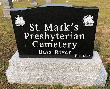
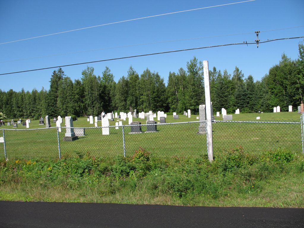
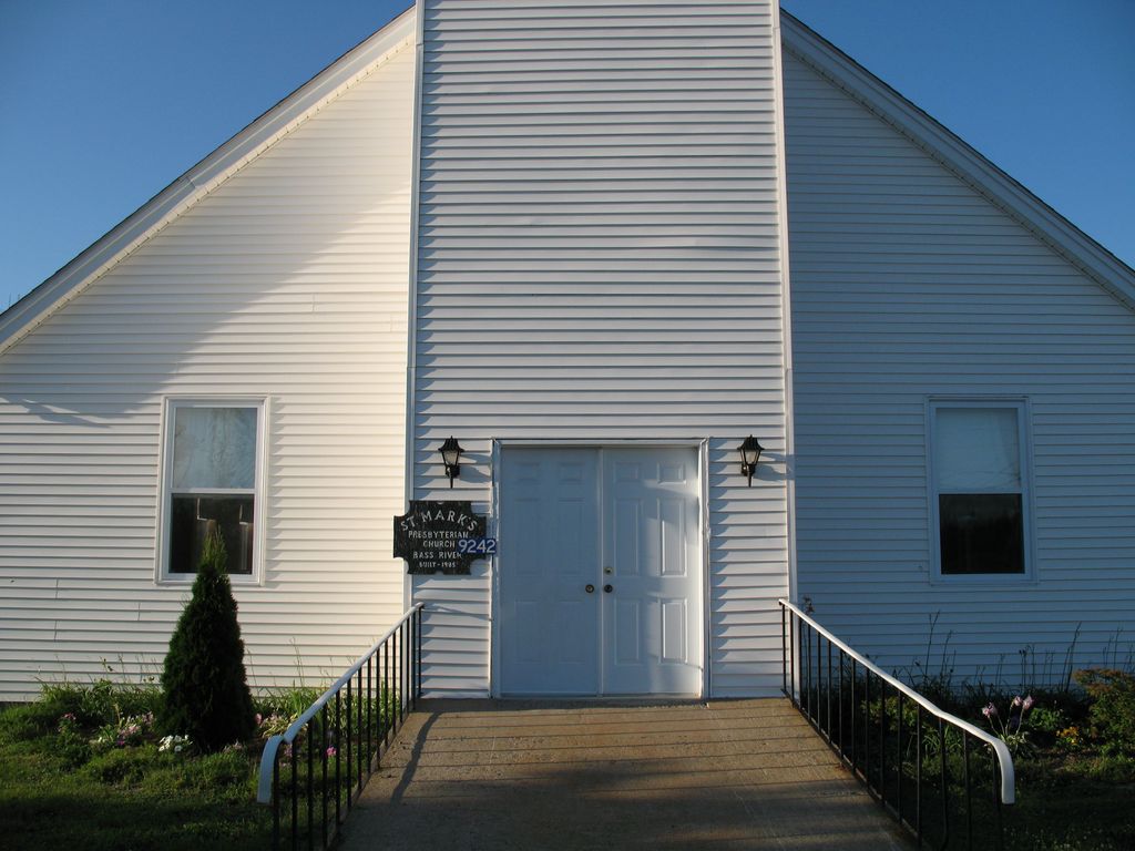
| Description | : | Now familiarly known as Bass River Cemetery. There have been burials here dating back to 1840. In 1861, St. Mark's Presbyterian Church was located on the property, and in 1866 a proper burying ground was laid out. Sadly the original sanctuary burned down and the new building is located near Walker's Barn. |
frequently asked questions (FAQ):
-
Where is St. Mark's Presbyterian Cemetery?
St. Mark's Presbyterian Cemetery is located at Routes 116 & 490 Bass River, Kent County ,New Brunswick , E4T 1L4Canada.
-
St. Mark's Presbyterian Cemetery cemetery's updated grave count on graveviews.com?
591 memorials
-
Where are the coordinates of the St. Mark's Presbyterian Cemetery?
Latitude: 46.5424130
Longitude: -65.0894630
Nearby Cemetories:
1. Saint Bartholomew Roman Catholic Cemetery
Bass River, Kent County, Canada
Coordinate: 46.5539410, -65.1073140
2. Saint Paul’s Anglican Church Cemetery
Browns Yard, Kent County, Canada
Coordinate: 46.5211100, -65.0864800
3. St. Bartholomew's Roman Catholic Cemetery
Molus River, Kent County, Canada
Coordinate: 46.5739550, -65.0830720
4. St. Stephens United Church Cemetery
Molus River, Kent County, Canada
Coordinate: 46.5763290, -65.0817130
5. Fords Mills United Church Cemetery
Fords Mills, Kent County, Canada
Coordinate: 46.4873010, -65.0904990
6. St. James Presbyterian Church Cemetery
Beersville, Kent County, Canada
Coordinate: 46.4601550, -65.0827550
7. Saint Anne's Roman Catholic Cemetery
Big Cove, Kent County, Canada
Coordinate: 46.5854736, -64.9864107
8. Whispering Pines Cemetery
Harcourt, Kent County, Canada
Coordinate: 46.4849750, -65.1864790
9. Saint John's United Church Cemetery
West Branch, Kent County, Canada
Coordinate: 46.5339660, -64.9571180
10. Gospel Hall Emerson Road Cemetery
Harcourt, Kent County, Canada
Coordinate: 46.4710190, -65.1841700
11. West Branch Presbyterian Cemetery
West Branch, Kent County, Canada
Coordinate: 46.5410340, -64.9480820
12. Kingdom Hall of Jehovah's Witnesses Cemetery
West Branch, Kent County, Canada
Coordinate: 46.5497546, -64.9345299
13. United-Methodist Church Cemetery
Beersville, Kent County, Canada
Coordinate: 46.4319880, -65.0778700
14. Saint-Norbert Parish Cemetery
Saint-Norbert, Kent County, Canada
Coordinate: 46.4662200, -64.9683100
15. Saint Matthews Anglican Church Cemetery
Harcourt, Kent County, Canada
Coordinate: 46.4706480, -65.2347930
16. Chapel Point Cemetery
Richibucto, Kent County, Canada
Coordinate: 46.5966300, -64.9202300
17. Wesley Memorial United Church Cemetery
Harcourt, Kent County, Canada
Coordinate: 46.4720060, -65.2485500
18. Saint Andrews Presbyterian Cemetery
Harcourt, Kent County, Canada
Coordinate: 46.4726940, -65.2500790
19. Methodist Point Cemetery
Rexton, Kent County, Canada
Coordinate: 46.6042300, -64.9165060
20. Adamsville Baptist Cemetery
Adamsville, Kent County, Canada
Coordinate: 46.4102040, -65.1567110
21. St. Charles Roman Catholic Cemetery
Saint-Charles, Kent County, Canada
Coordinate: 46.6689480, -64.9729100
22. Grangeville United Baptist Church Cemetery
Harcourt, Kent County, Canada
Coordinate: 46.4170870, -65.2126310
23. Saint Timothy’s Roman Catholic Cemetery
Adamsville, Kent County, Canada
Coordinate: 46.4001080, -65.1870430
24. Saint Matthews United Church Cemetery
Clairville, Kent County, Canada
Coordinate: 46.3849490, -65.0982270


