
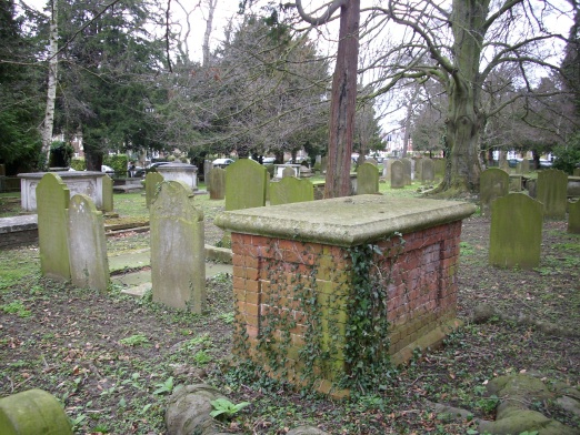
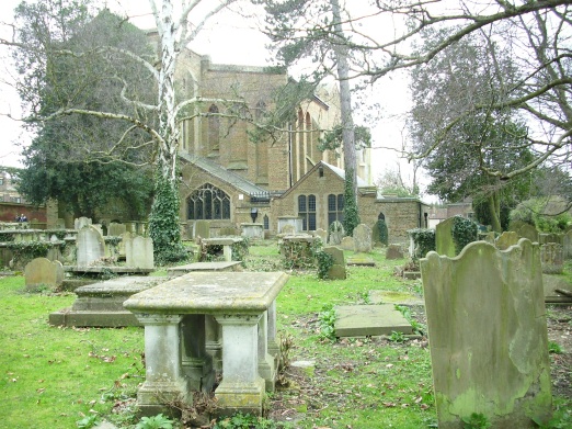
| Memorials | : | 0 |
| Location | : | Epsom, Epsom and Ewell Borough, England |
| Coordinate | : | 51.3306847, -0.2593640 |
frequently asked questions (FAQ):
-
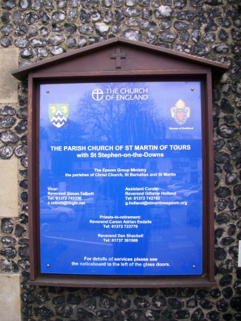
Where is St. Martin of Tours Churchyard?
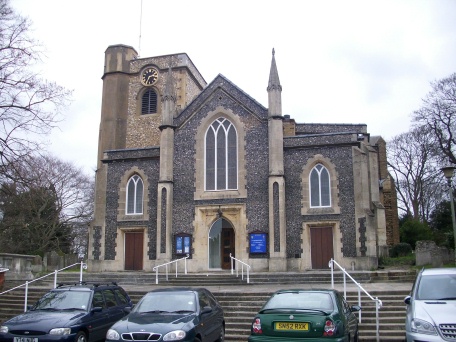
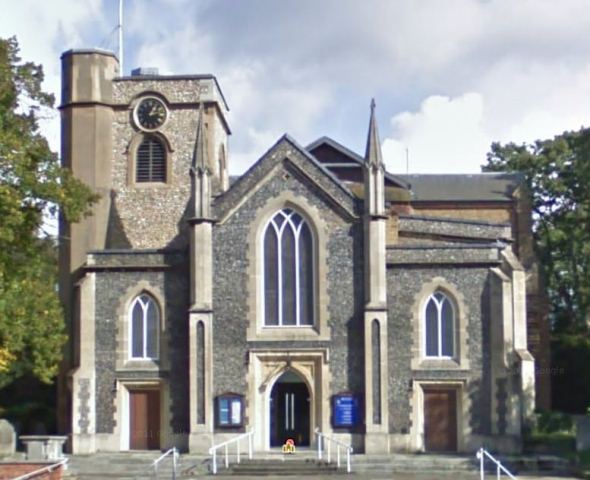
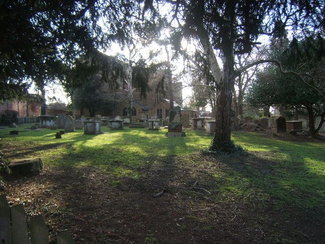
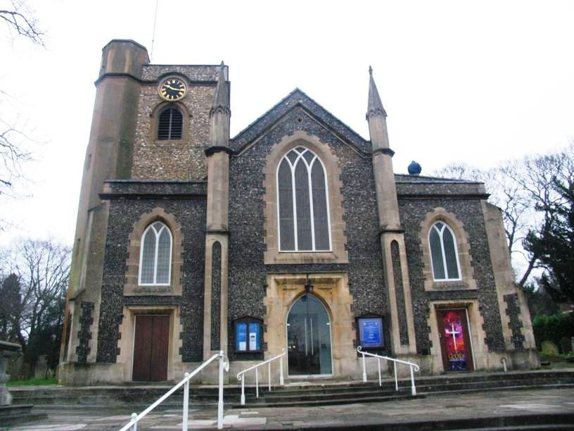
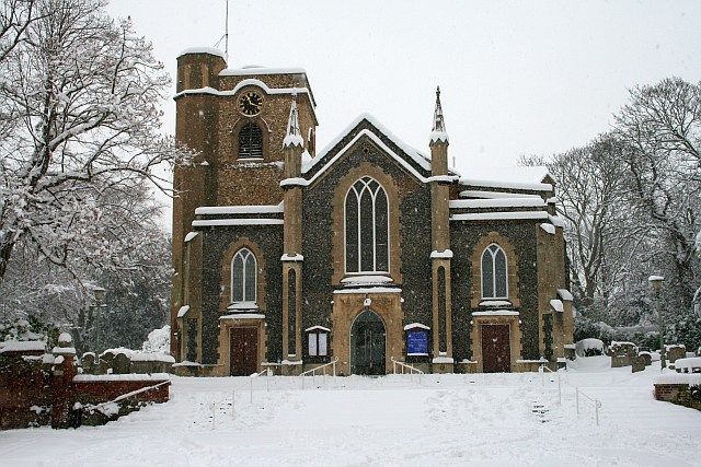
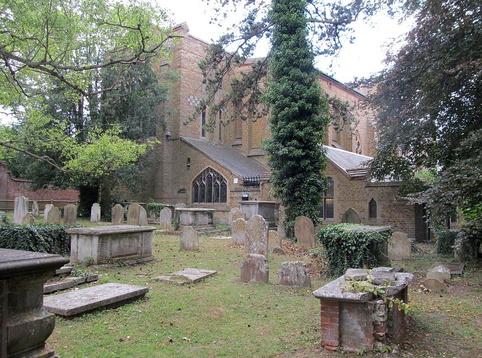
St. Martin of Tours Churchyard is located at Church Street Epsom, Epsom and Ewell Borough ,Surrey , KT17 4PXEngland.
-
St. Martin of Tours Churchyard cemetery's updated grave count on graveviews.com?
0 memorials
-
Where are the coordinates of the St. Martin of Tours Churchyard?
Latitude: 51.3306847
Longitude: -0.2593640
Nearby Cemetories:
1. Epsom Cemetery
Epsom, Epsom and Ewell Borough, England
Coordinate: 51.3198040, -0.2594180
2. St Mary the Virgin Churchyard
Ewell, Epsom and Ewell Borough, England
Coordinate: 51.3490283, -0.2495934
3. Horton Estate Cemetery
Epsom, Epsom and Ewell Borough, England
Coordinate: 51.3527020, -0.2762460
4. St Giles Churchyard
Ashtead, Mole Valley District, England
Coordinate: 51.3086540, -0.2900093
5. St Ann's Memorial Garden
Banstead, Reigate and Banstead Borough, England
Coordinate: 51.3215180, -0.2120434
6. St Mary the Virgin Churchyard
Chessington, Royal Borough of Kingston upon Thames, England
Coordinate: 51.3580840, -0.3001320
7. All Saints Churchyard
Banstead, Reigate and Banstead Borough, England
Coordinate: 51.3220583, -0.2008833
8. St Dunstan Churchyard
Cheam, London Borough of Sutton, England
Coordinate: 51.3607000, -0.2163720
9. Banstead Hospital Cemetery
Banstead, Reigate and Banstead Borough, England
Coordinate: 51.3389400, -0.1849100
10. Christ Church with St Philip
Worcester Park, London Borough of Sutton, England
Coordinate: 51.3762000, -0.2358800
11. St. Paul's Churchyard
Hook, Royal Borough of Kingston upon Thames, England
Coordinate: 51.3691970, -0.3066850
12. Cuddington Cemetery
Worcester Park, London Borough of Sutton, England
Coordinate: 51.3774030, -0.2367030
13. Saint Peter's Church
Walton-on-the-Hill, Reigate and Banstead Borough, England
Coordinate: 51.2817810, -0.2467230
14. St John the Baptist Churchyard
Worcester Park, London Borough of Sutton, England
Coordinate: 51.3821540, -0.2608980
15. St Marys Churchyard
Headley, Mole Valley District, England
Coordinate: 51.2799700, -0.2736100
16. St Peter's Churchyard
Woodmansterne, Reigate and Banstead Borough, England
Coordinate: 51.3246900, -0.1693300
17. St Mary and St Nicholas Churchyard
Leatherhead, Mole Valley District, England
Coordinate: 51.2925810, -0.3269850
18. Holy Trinity Churchyard
Claygate, Elmbridge Borough, England
Coordinate: 51.3588960, -0.3394210
19. Sutton Cemetery
Sutton, London Borough of Sutton, England
Coordinate: 51.3785800, -0.2056800
20. All Saints Churchyard
Benhilton, London Borough of Sutton, England
Coordinate: 51.3726540, -0.1932910
21. Randalls Park Cemetery and Crematorium
Leatherhead, Mole Valley District, England
Coordinate: 51.3035290, -0.3469730
22. St. Mary's Churchyard
Long Ditton, Elmbridge Borough, England
Coordinate: 51.3804970, -0.3169820
23. Merton and Sutton Joint Cemetery
Morden, London Borough of Merton, England
Coordinate: 51.3892640, -0.2272630
24. Long Ditton Cemetery
Long Ditton, Elmbridge Borough, England
Coordinate: 51.3805860, -0.3185490