
| Memorials | : | 52 |
| Location | : | Leatherhead, Mole Valley District, England |
| Coordinate | : | 51.3035290, -0.3469730 |
frequently asked questions (FAQ):
-
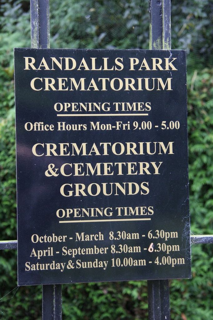
Where is Randalls Park Cemetery and Crematorium?
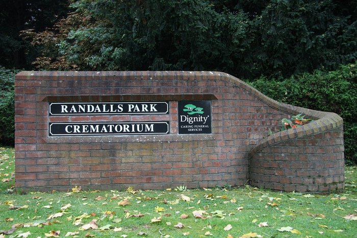
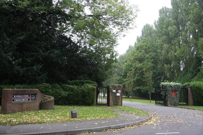
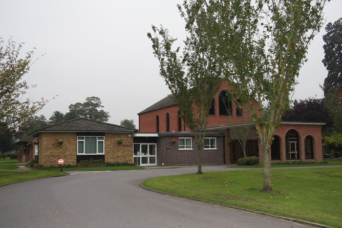
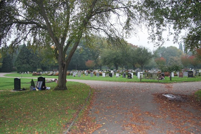
Randalls Park Cemetery and Crematorium is located at Randalls Road Leatherhead, Mole Valley District ,Surrey , KT22 0AGEngland.
-
Randalls Park Cemetery and Crematorium cemetery's updated grave count on graveviews.com?
51 memorials
-
Where are the coordinates of the Randalls Park Cemetery and Crematorium?
Latitude: 51.3035290
Longitude: -0.3469730
Nearby Cemetories:
1. St Mary Churchyard
Fetcham, Mole Valley District, England
Coordinate: 51.2881290, -0.3525500
2. St Mary and St Nicholas Churchyard
Leatherhead, Mole Valley District, England
Coordinate: 51.2925810, -0.3269850
3. Yehudi Menuhin International School
Stoke D'Abernon, Elmbridge Borough, England
Coordinate: 51.3059170, -0.3775720
4. St Marys Churchyard
Stoke D'Abernon, Elmbridge Borough, England
Coordinate: 51.3139230, -0.3812710
5. St Nicolas Parish Churchyard
Great Bookham, Mole Valley District, England
Coordinate: 51.2798220, -0.3739870
6. All Saints Churchyard
Little Bookham, Mole Valley District, England
Coordinate: 51.2826900, -0.3864790
7. Cobham Municipal Cemetery
Cobham, Elmbridge Borough, England
Coordinate: 51.3204240, -0.3954060
8. St Giles Churchyard
Ashtead, Mole Valley District, England
Coordinate: 51.3086540, -0.2900093
9. St Michael Churchyard
Mickleham, Mole Valley District, England
Coordinate: 51.2675150, -0.3233720
10. St Lawrence Churchyard
Effingham, Guildford Borough, England
Coordinate: 51.2712010, -0.3984180
11. St Andrew Churchyard
Cobham, Elmbridge Borough, England
Coordinate: 51.3259580, -0.4114970
12. Polesden Lacey Estate Pet Cemetery
Great Bookham, Mole Valley District, England
Coordinate: 51.2592260, -0.3718640
13. Polesden Lacey Estate
Great Bookham, Mole Valley District, England
Coordinate: 51.2591310, -0.3718630
14. St Marys Churchyard
Headley, Mole Valley District, England
Coordinate: 51.2799700, -0.2736100
15. St. Matthew's Churchyard
Cobham, Elmbridge Borough, England
Coordinate: 51.3098290, -0.4335730
16. Holy Trinity Churchyard
Claygate, Elmbridge Borough, England
Coordinate: 51.3588960, -0.3394210
17. Epsom Cemetery
Epsom, Epsom and Ewell Borough, England
Coordinate: 51.3198040, -0.2594180
18. St. Martin of Tours Churchyard
Epsom, Epsom and Ewell Borough, England
Coordinate: 51.3306847, -0.2593640
19. St Mary the Virgin Churchyard
Chessington, Royal Borough of Kingston upon Thames, England
Coordinate: 51.3580840, -0.3001320
20. St. Barnabas Churchyard
Ranmore Common, Mole Valley District, England
Coordinate: 51.2419730, -0.3602730
21. St. Martin's Churchyard
East Horsley, Guildford Borough, England
Coordinate: 51.2638550, -0.4314040
22. Horton Estate Cemetery
Epsom, Epsom and Ewell Borough, England
Coordinate: 51.3527020, -0.2762460
23. Saint Peter's Church
Walton-on-the-Hill, Reigate and Banstead Borough, England
Coordinate: 51.2817810, -0.2467230
24. St George's Churchyard
Esher, Elmbridge Borough, England
Coordinate: 51.3692320, -0.3643740