
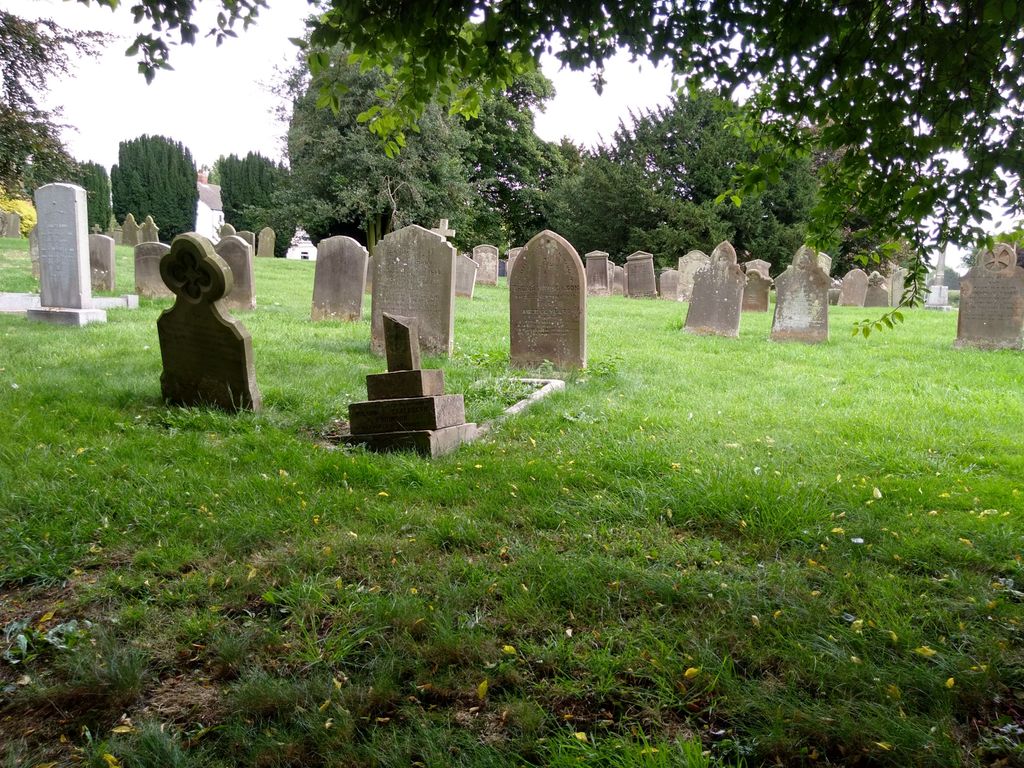
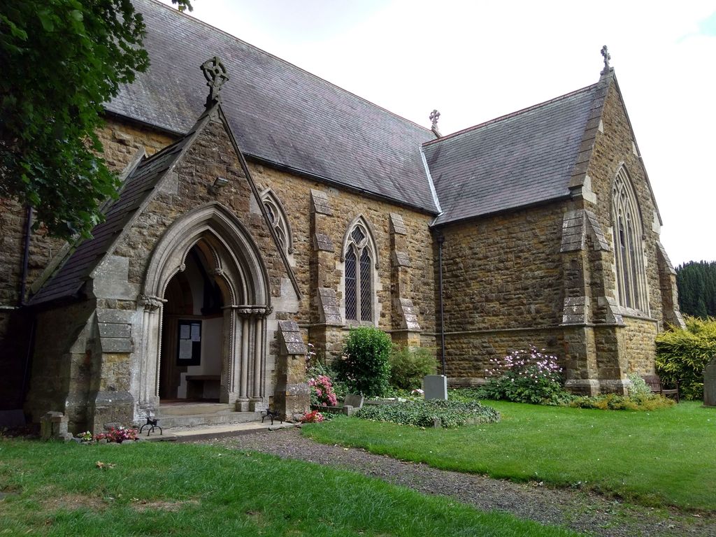
| Memorials | : | 11 |
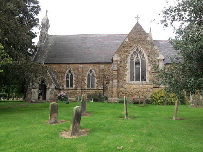
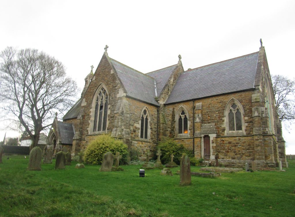
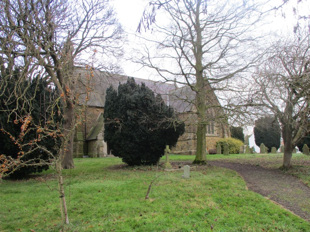
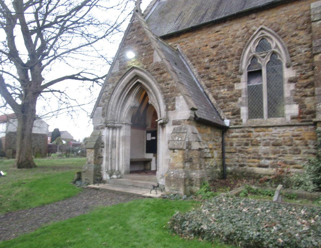
| Location | : | Ludford, East Lindsey District, England |
| Coordinate | : | 53.3868330, -0.1963460 |
frequently asked questions (FAQ):
-
Where is St Mary & St Peters Churchyard?
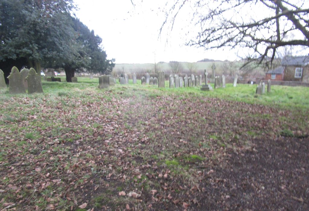
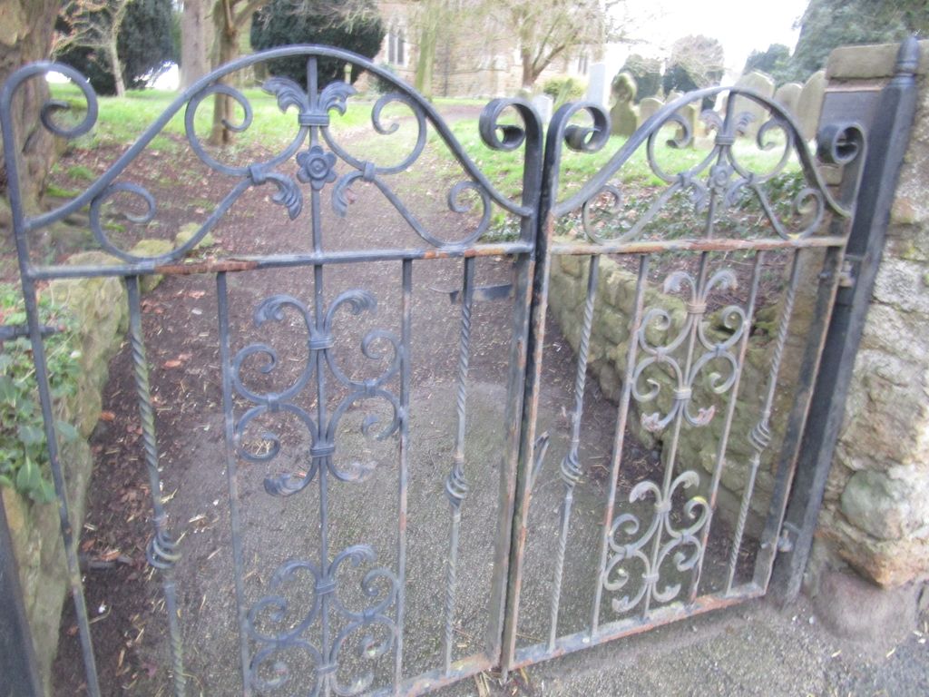
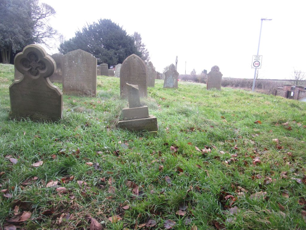
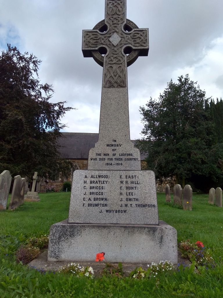
St Mary & St Peters Churchyard is located at Stocks Hill Ludford, East Lindsey District ,Lincolnshire , LN8 6AAEngland.
-
St Mary & St Peters Churchyard cemetery's updated grave count on graveviews.com?
11 memorials
-
Where are the coordinates of the St Mary & St Peters Churchyard?
Latitude: 53.3868330
Longitude: -0.1963460
Nearby Cemetories:
1. St. Helen Churchyard
Burgh on Bain, East Lindsey District, England
Coordinate: 53.3604060, -0.1644810
2. St. Martin's Churchyard
Kirmond-le-Mire, West Lindsey District, England
Coordinate: 53.4172100, -0.2176900
3. All Saints Churchyard
Sixhills, West Lindsey District, England
Coordinate: 53.3679800, -0.2426600
4. St. Thomas the Apostle Churchyard
North Willingham, West Lindsey District, England
Coordinate: 53.3786700, -0.2524900
5. St. Mary's Churchyard
Binbrook, East Lindsey District, England
Coordinate: 53.4283880, -0.1774980
6. St. Peter's Churchyard
Gayton le Wold, East Lindsey District, England
Coordinate: 53.3562320, -0.1431270
7. St Faith Church
Kelstern, East Lindsey District, England
Coordinate: 53.3911200, -0.1196310
8. St. Helen's Churchyard
Louth, East Lindsey District, England
Coordinate: 53.3464700, -0.1539300
9. St. Helen's Churchyard
Biscathorpe, East Lindsey District, England
Coordinate: 53.3464850, -0.1538460
10. St. Mary's Churchyard
Hainton, East Lindsey District, England
Coordinate: 53.3433440, -0.2290450
11. St. Andrew's Churchyard
Stainton-le-Vale, West Lindsey District, England
Coordinate: 53.4333900, -0.2309600
12. St. Andrew's Churchyard
Donington on Bain, East Lindsey District, England
Coordinate: 53.3294810, -0.1475658
13. Station Road Cemetery
Donington on Bain, East Lindsey District, England
Coordinate: 53.3270700, -0.1429600
14. St. Julian's Churchyard
Benniworth, East Lindsey District, England
Coordinate: 53.3192500, -0.1859000
15. St. Mary's Churchyard
East Barkwith, East Lindsey District, England
Coordinate: 53.3175900, -0.2514400
16. Market Rasen Cemetery
Market Rasen, West Lindsey District, England
Coordinate: 53.3830880, -0.3275890
17. St. Thomas Churchyard
Market Rasen, West Lindsey District, England
Coordinate: 53.3883500, -0.3376700
18. St. Cornelius Churchyard
Linwood, West Lindsey District, England
Coordinate: 53.3626176, -0.3361707
19. St. Mary's Churchyard
Claxby, West Lindsey District, England
Coordinate: 53.4363000, -0.3287600
20. St. John The Baptist Churchyard
Lissington, West Lindsey District, England
Coordinate: 53.3363600, -0.3359800
21. All Saints Churchyard
Legbourne, East Lindsey District, England
Coordinate: 53.3390478, -0.0525820
22. God's Acre
Middle Rasen, West Lindsey District, England
Coordinate: 53.3904700, -0.3614800
23. St. Martin Churchyard
East Ravendale, North East Lincolnshire Unitary Authority, England
Coordinate: 53.4793000, -0.1370044
24. All Saints Old Churchyard
Goulceby, East Lindsey District, England
Coordinate: 53.2976700, -0.1228900