| Memorials | : | 0 |
| Location | : | Linwood, West Lindsey District, England |
| Coordinate | : | 53.3626176, -0.3361707 |
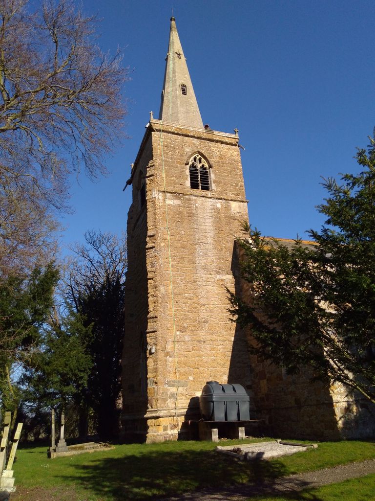
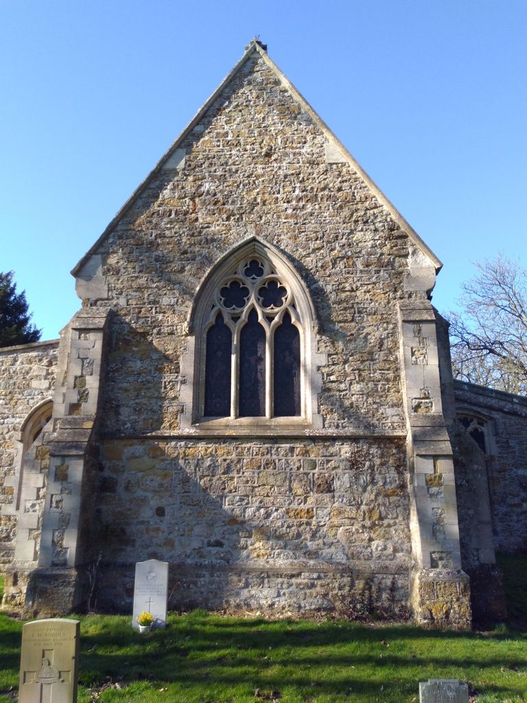
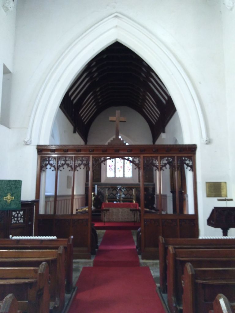
| Description | : | Only Church in England still Dedicated to St Cornelius. From the 12th century onwards, the church is mentioned in the Doomsday book. It has a 14th century needle spire, and stunning stained glass window depicting St David, St George and St Andrew in memory of Lewis Gordon This building is listed under the Planning (Listed Buildings and Conservation Areas) Act 1990 as amended for its special architectural or historic interest. List entry Number: 1166212 |
frequently asked questions (FAQ):
-
Where is St. Cornelius Churchyard?
St. Cornelius Churchyard is located at Linwood, Market Rasen Linwood, West Lindsey District ,Lincolnshire , LN8 3QQEngland.
-
St. Cornelius Churchyard cemetery's updated grave count on graveviews.com?
0 memorials
-
Where are the coordinates of the St. Cornelius Churchyard?
Latitude: 53.3626176
Longitude: -0.3361707
Nearby Cemetories:
1. Market Rasen Cemetery
Market Rasen, West Lindsey District, England
Coordinate: 53.3830880, -0.3275890
2. St. Thomas Churchyard
Market Rasen, West Lindsey District, England
Coordinate: 53.3883500, -0.3376700
3. St. John The Baptist Churchyard
Lissington, West Lindsey District, England
Coordinate: 53.3363600, -0.3359800
4. St. Michael's Churchyard
Buslingthorpe, West Lindsey District, England
Coordinate: 53.3520370, -0.3772470
5. God's Acre
Middle Rasen, West Lindsey District, England
Coordinate: 53.3904700, -0.3614800
6. St. Peter & St. Paul Churchyard
Middle Rasen, West Lindsey District, England
Coordinate: 53.3914120, -0.3664170
7. All Saints Churchyard
Faldingworth, West Lindsey District, England
Coordinate: 53.3490800, -0.3995900
8. St. Peter's Churchyard
Friesthorpe, West Lindsey District, England
Coordinate: 53.3367420, -0.3915860
9. All Saints Churchyard
Holton-cum-Beckering, West Lindsey District, England
Coordinate: 53.3167370, -0.3257753
10. St Michaels Churchyard
Newton by Toft, West Lindsey District, England
Coordinate: 53.3726210, -0.4216430
11. St. Thomas the Apostle Churchyard
North Willingham, West Lindsey District, England
Coordinate: 53.3786700, -0.2524900
12. All Saints Churchyard
Sixhills, West Lindsey District, England
Coordinate: 53.3679800, -0.2426600
13. All Saints Churchyard
Snelland, West Lindsey District, England
Coordinate: 53.3120800, -0.3812000
14. St. Lawrence Churchyard
Snarford, West Lindsey District, England
Coordinate: 53.3283300, -0.4239900
15. St. Oswald's Churchyard
Rand, West Lindsey District, England
Coordinate: 53.2970600, -0.3404500
16. St. Mary's Churchyard
Hainton, East Lindsey District, England
Coordinate: 53.3433440, -0.2290450
17. St. Mary's Churchyard
East Barkwith, East Lindsey District, England
Coordinate: 53.3175900, -0.2514400
18. Kirkby cum Osgodby Cemetery
Kirkby cum Osgodby, West Lindsey District, England
Coordinate: 53.4202700, -0.3977200
19. St Andrew Churchyard
Kirkby cum Osgodby, West Lindsey District, England
Coordinate: 53.4210980, -0.4015720
20. All Saints Churchyard
Cold Hanworth, West Lindsey District, England
Coordinate: 53.3357700, -0.4471700
21. St. Mary's Churchyard
Claxby, West Lindsey District, England
Coordinate: 53.4363000, -0.3287600
22. St Peter Churchyard
Kingerby, West Lindsey District, England
Coordinate: 53.4218900, -0.4104000
23. St. Martin Churchyard
North Owersby, West Lindsey District, England
Coordinate: 53.4387500, -0.4029500
24. St Mary & St Peters Churchyard
Ludford, East Lindsey District, England
Coordinate: 53.3868330, -0.1963460


