
| Memorials | : | 12 |
| Location | : | Torbay, Auckland Council, New Zealand |
| Website | : | stmary.co.nz/about-contact/history/ |
| Coordinate | : | -36.6959500, 174.7512400 |
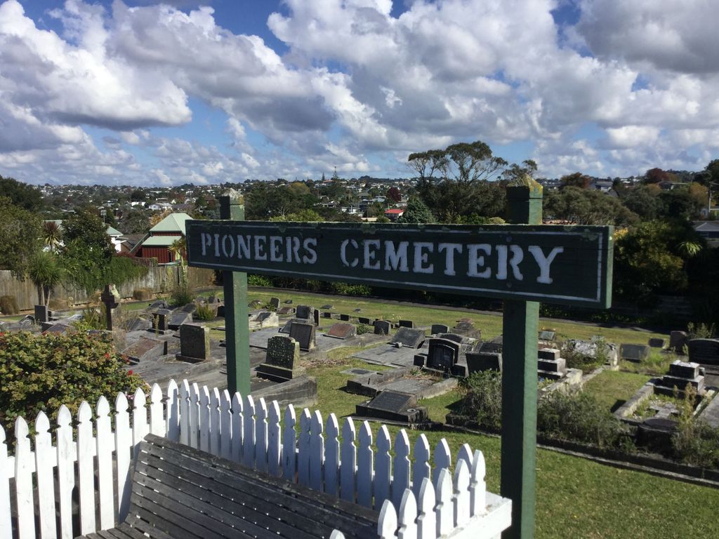
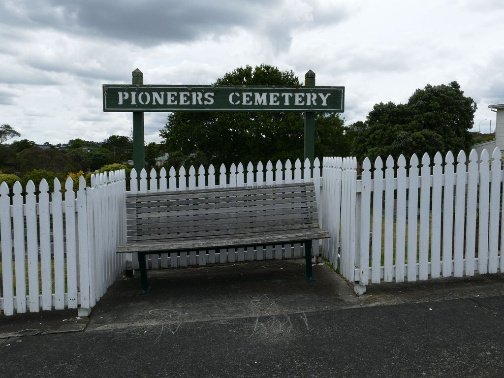
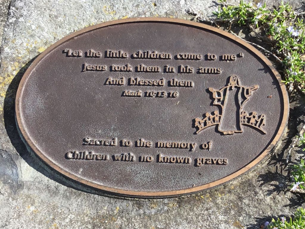
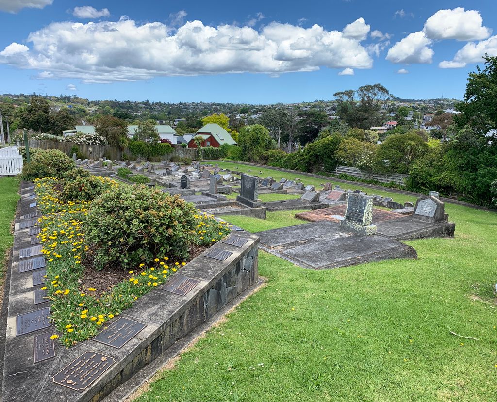
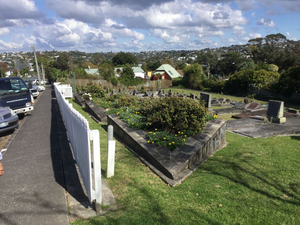
| Description | : | The original Anglican church is located on a hillside and was opened on 8 January 1886 by Bishop Cowie. It consisted of eight church families. With local gum diggers, the church had an average attendance of 30 people. It commanded an extensive view of Rangitoto Island in the Hauraki Gulf and the entrance to the Waitemata Harbour. Since then the church has been rebuilt with the historic church being moved and then tragically destroyed in a fire. The graveyard, which is adjacent to the church hall, is now closed to burials but open to ash remains. There... Read More |
frequently asked questions (FAQ):
-
Where is St. Mary's Pioneer Cemetery?
St. Mary's Pioneer Cemetery is located at 168 Deep Creek Rd Torbay, Auckland Council ,Auckland , 0630New Zealand.
-
St. Mary's Pioneer Cemetery cemetery's updated grave count on graveviews.com?
12 memorials
-
Where are the coordinates of the St. Mary's Pioneer Cemetery?
Latitude: -36.6959500
Longitude: 174.7512400
Nearby Cemetories:
1. Albany Village Cemetery
Albany, Auckland Council, New Zealand
Coordinate: -36.7298900, 174.6972700
2. Holy Trinity Cemetery
Silverdale, Auckland Council, New Zealand
Coordinate: -36.7429008, 174.6940822
3. Stanmore Bay Beach Cemetery
Whangaparāoa, Auckland Council, New Zealand
Coordinate: -36.6244131, 174.7445165
4. North Shore Memorial Park
Auckland, Auckland Council, New Zealand
Coordinate: -36.7545800, 174.6838900
5. Auckland Memorial Park Cemetery
Silverdale, Auckland Council, New Zealand
Coordinate: -36.6273150, 174.6725690
6. Birkenhead-Glenfield Cemetery
Birkenhead, Auckland Council, New Zealand
Coordinate: -36.7989000, 174.7234700
7. Pompallier Cemetery
Birkenhead, Auckland Council, New Zealand
Coordinate: -36.8036900, 174.7251200
8. O'Neill's Point Cemetery
Belmont, Auckland Council, New Zealand
Coordinate: -36.8103002, 174.7812784
9. Hobsonville Church and Settlers' Cemetery
Hobsonville, Auckland Council, New Zealand
Coordinate: -36.8000500, 174.6551800
10. Wainui Settlers Cemetery
Wainui, Auckland Council, New Zealand
Coordinate: -36.6077200, 174.6324400
11. Wainui Public Cemetery
Wainui, Auckland Council, New Zealand
Coordinate: -36.6069500, 174.6322800
12. Mount Victoria Cemetery
Devonport, Auckland Council, New Zealand
Coordinate: -36.8252490, 174.7978140
13. Royal New Zealand Navy Memorial
Devonport, Auckland Council, New Zealand
Coordinate: -36.8305900, 174.7898900
14. St. Stephen's Churchyard
Auckland, Auckland Council, New Zealand
Coordinate: -36.8504860, 174.7899970
15. Savage Memorial
Auckland, Auckland Council, New Zealand
Coordinate: -36.8462500, 174.8259300
16. Symonds Street Cemetery
Auckland, Auckland Council, New Zealand
Coordinate: -36.8582828, 174.7636628
17. Mount Eden Stockade Cemetery
Mount Eden, Auckland Council, New Zealand
Coordinate: -36.8678370, 174.7666430
18. Ōrākei (Rautara St) Urupā
Orakei, Auckland Council, New Zealand
Coordinate: -36.8610770, 174.8188960
19. St Mark's Anglican Church Cemetery
Remuera, Auckland Council, New Zealand
Coordinate: -36.8729300, 174.7801600
20. Te Muri
Puhoi, Auckland Council, New Zealand
Coordinate: -36.5182030, 174.7204840
21. Motuihe Island Cemetery
Auckland Council, New Zealand
Coordinate: -36.8000400, 174.9363920
22. Purewa Cemetery
Meadowbank, Auckland Council, New Zealand
Coordinate: -36.8674300, 174.8297900
23. St. Luke's Anglican Church Cemetery
Mount Albert, Auckland Council, New Zealand
Coordinate: -36.8785540, 174.7290400
24. Kumeu Anglican Cemetery
Kumeu, Auckland Council, New Zealand
Coordinate: -36.7861800, 174.5500100