
| Memorials | : | 0 |
| Location | : | Dunsfold, Waverley Borough, England |
| Coordinate | : | 51.1175460, -0.5753870 |
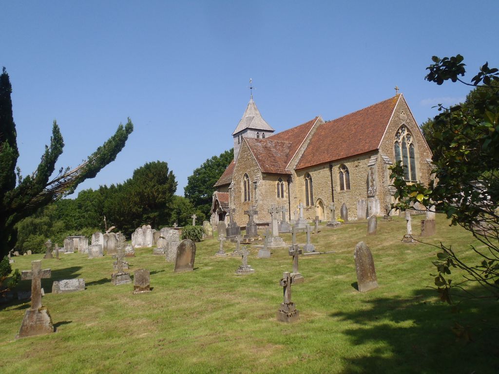
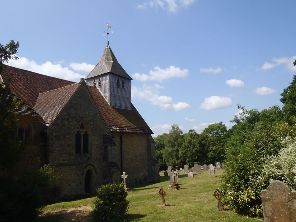
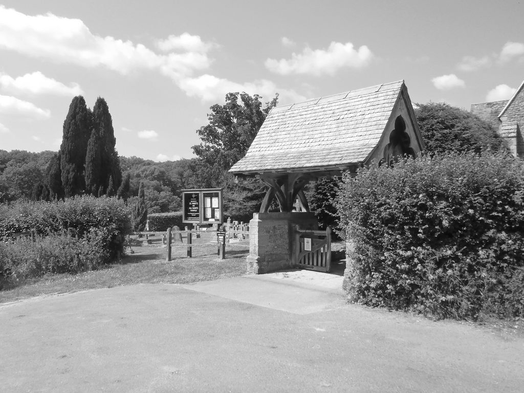
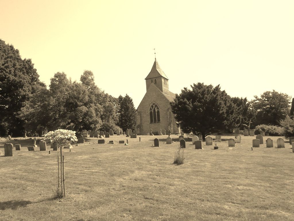
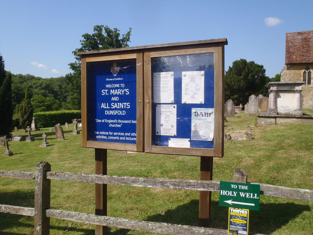
| Description | : | Dunsfold is a village in the Waverley district of the county of Surrey, England, 8.7 miles (14 kilometres) south of Guildford. St Mary & All Saints' Church is a Norman building, containing the oldest pews in England. The nearby Holy Well was formerly a site of pilgrimage and its waters were thought to cure diseases of the eye. It is further thought that the well may be a pre-Christian site and the church itself may be constructed on a man-made hill of pre-Christian origin. (Text by Wertypop) |
frequently asked questions (FAQ):
-
Where is St Mary & All Saints Churchyard?
St Mary & All Saints Churchyard is located at Church Road Dunsfold, Waverley Borough ,Surrey , GU8 4LTEngland.
-
St Mary & All Saints Churchyard cemetery's updated grave count on graveviews.com?
0 memorials
-
Where are the coordinates of the St Mary & All Saints Churchyard?
Latitude: 51.1175460
Longitude: -0.5753870
Nearby Cemetories:
1. St. Mary's Churchyard
Chiddingfold, Waverley Borough, England
Coordinate: 51.1097750, -0.6300990
2. Alfold Cemetery
Alfold, Waverley Borough, England
Coordinate: 51.0956860, -0.5212090
3. St. Nicholas' Churchyard
Alfold, Waverley Borough, England
Coordinate: 51.0956240, -0.5199940
4. St Andrew Churchyard
Grafham, Waverley Borough, England
Coordinate: 51.1650010, -0.5383300
5. All Saints Churchyard
Witley, Waverley Borough, England
Coordinate: 51.1486900, -0.6479080
6. St Nicolas Churchyard
Cranleigh, Waverley Borough, England
Coordinate: 51.1408830, -0.4860670
7. St. John the Baptist Churchyard
Loxwood, Chichester District, England
Coordinate: 51.0688200, -0.5154400
8. St John the Baptist Churchyard
Busbridge, Waverley Borough, England
Coordinate: 51.1770940, -0.6015880
9. Cranleigh Cemetery
Cranleigh, Waverley Borough, England
Coordinate: 51.1432100, -0.4845330
10. Oakfield Wood
Shamley Green, Waverley Borough, England
Coordinate: 51.1670718, -0.5115667
11. Witley Cemetery
Witley, Waverley Borough, England
Coordinate: 51.1641640, -0.6554350
12. Christ Church Churchyard
Shamley Green, Waverley Borough, England
Coordinate: 51.1807110, -0.5228360
13. Eashing Cemetery
Godalming, Waverley Borough, England
Coordinate: 51.1800160, -0.6333230
14. Bramley Cemetery
Bramley, Waverley Borough, England
Coordinate: 51.1894900, -0.5544700
15. St Peter and St Paul Churchyard
Godalming, Waverley Borough, England
Coordinate: 51.1868680, -0.6159590
16. St Michael Churchyard
Northchapel, Chichester District, England
Coordinate: 51.0561371, -0.6426890
17. Nightingale Cemetery
Godalming, Waverley Borough, England
Coordinate: 51.1933680, -0.6091920
18. Ebernoe Holy Trinity Churchyard
Ebernoe, Chichester District, England
Coordinate: 51.0415420, -0.6099770
19. St. John the Baptist Churchyard
Wonersh, Waverley Borough, England
Coordinate: 51.1960610, -0.5493600
20. St. John's Churchyard
Godalming, Waverley Borough, England
Coordinate: 51.1959270, -0.6036480
21. Holy Trinity Churchyard
Rudgwick, Horsham District, England
Coordinate: 51.0973900, -0.4442800
22. Guildford Crematorium
Guildford, Guildford Borough, England
Coordinate: 51.2037790, -0.5900520
23. Weycombe Road Cemetery
Haslemere, Waverley Borough, England
Coordinate: 51.0946726, -0.7090732
24. St. Nicholas Church
Peper Harow, Waverley Borough, England
Coordinate: 51.1881430, -0.6640210